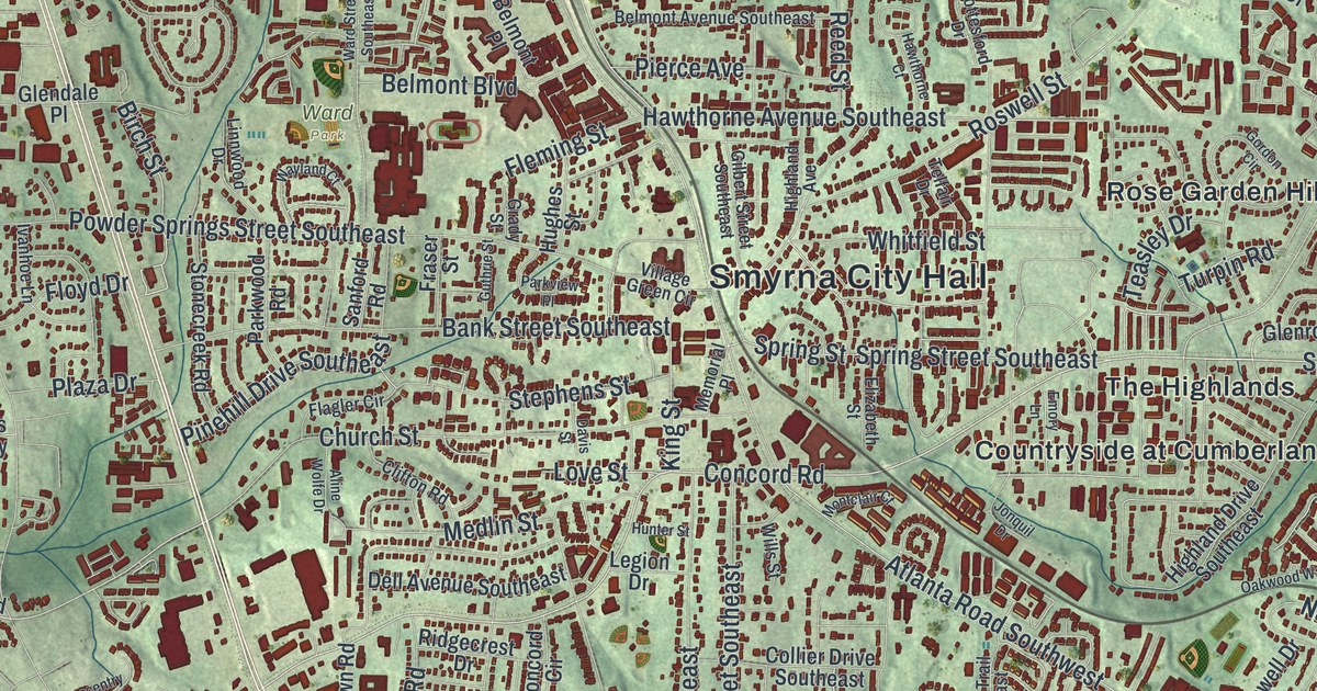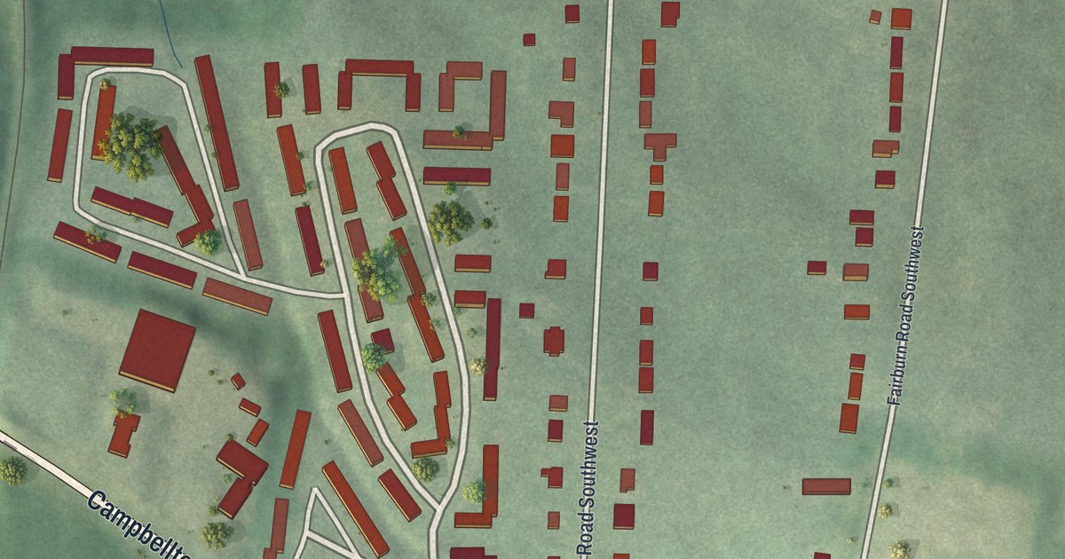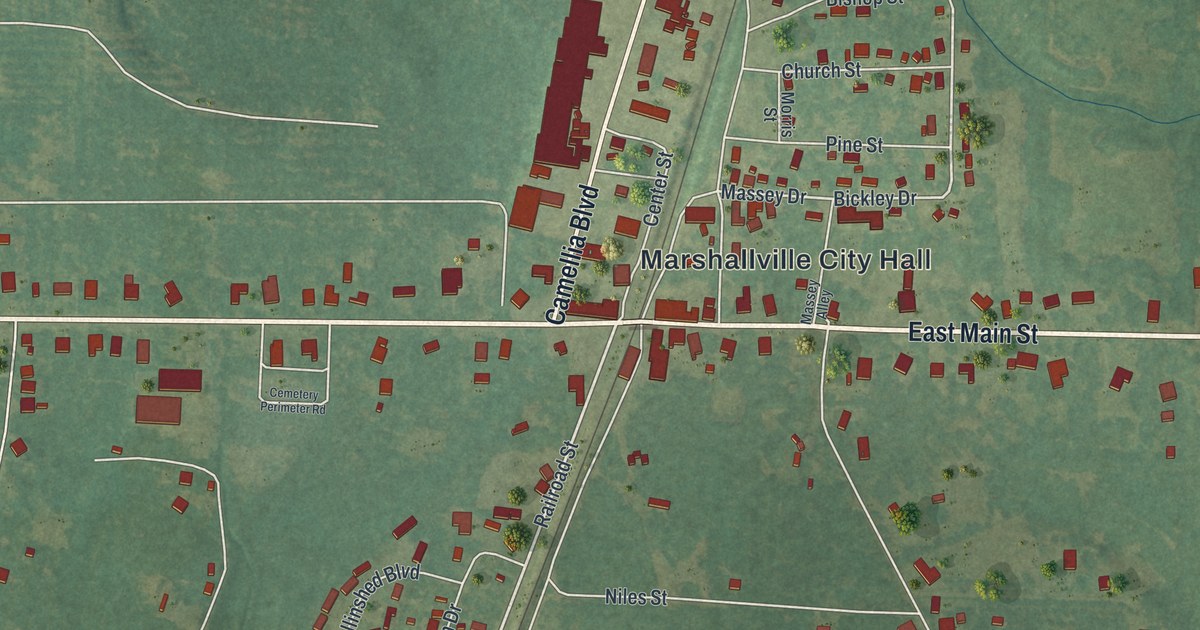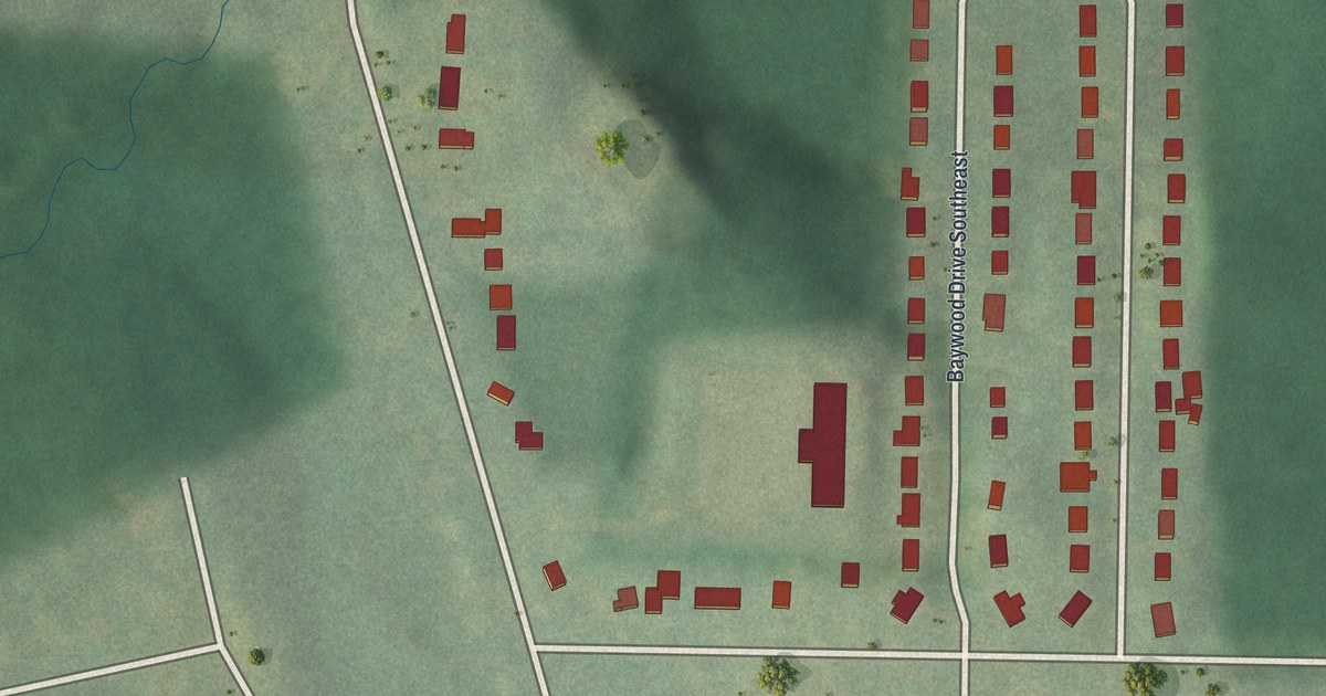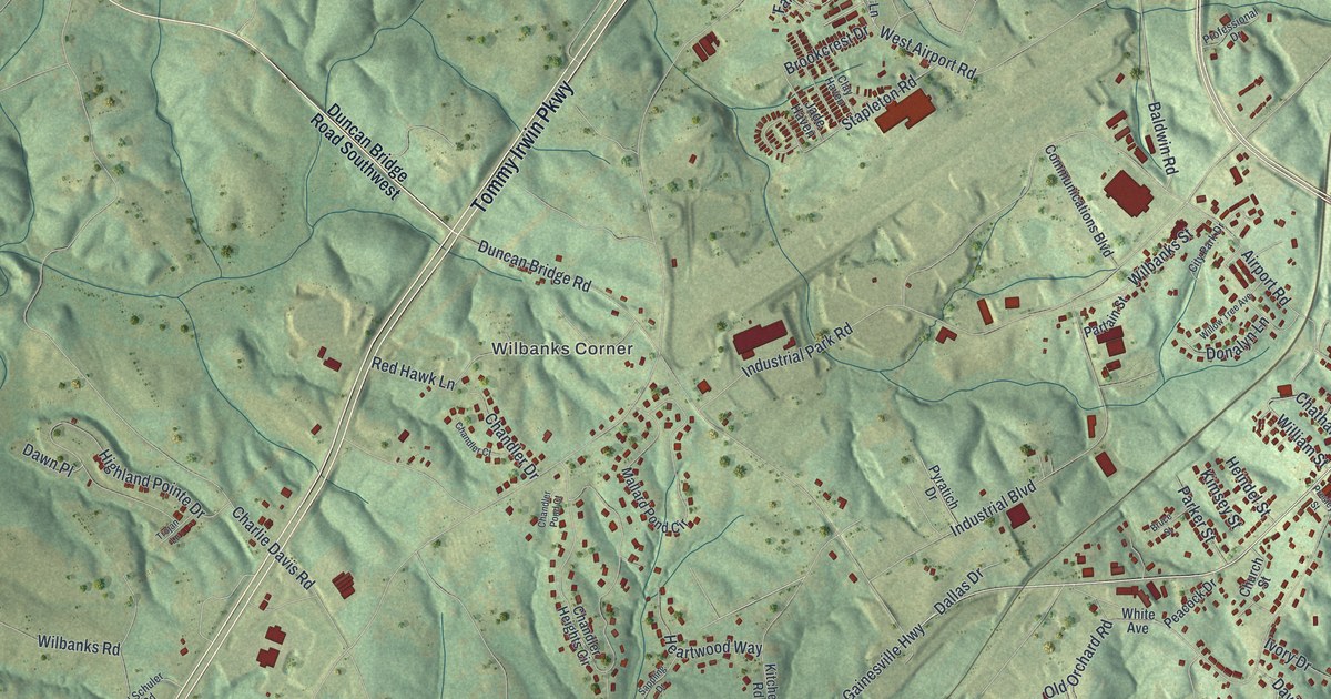
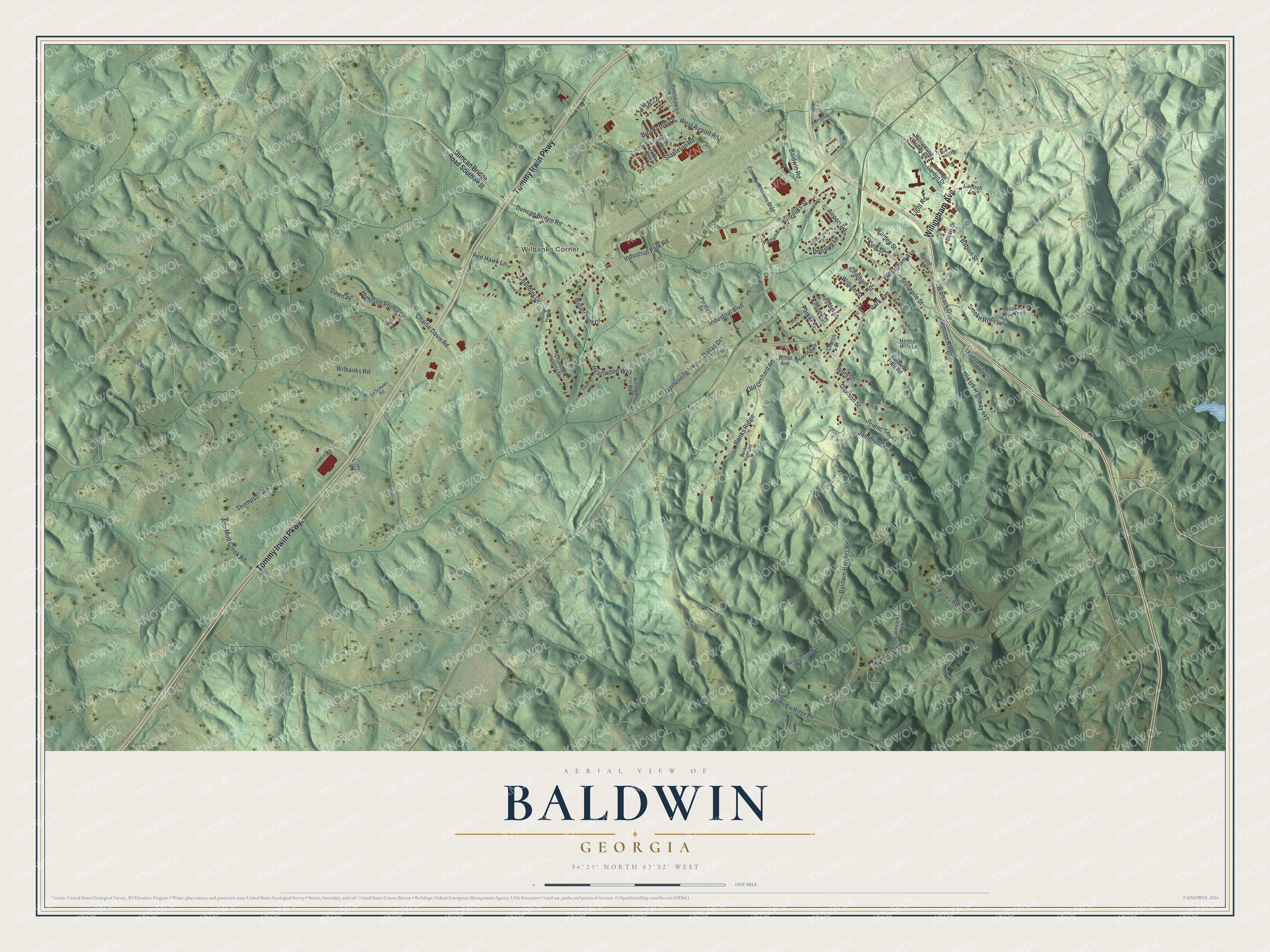
This beautifully detailed map of Baldwin, Georgia was created in 2026 using aerial imagery combined with modern topographical, census, street and landmark data. It’s a one-of-a-kind view of Baldwin that combines accurate data with a vintage aesthetic. The map shows every building in its true location, many of the roads carry their names, and the shaded topographic relief shows the shape of the land.
Explore an aerial view of Baldwin, Georgia
On the map you’ll find Wilbanks Corner, along with Willingham Avenue, Tommy Irwin Parkway, Stonepile Street, Industrial Boulevard, Baldwin Heights Road, and more. If you look closely you can even find your house accurately drawn in its correct location. Zoom in on the preview to look for yours.
Did You Know?
Baldwin took its name from Joseph A. Baldwin, a railroad official. The Georgia General Assembly incorporated the city on December 17, 1896. Baldwin sits right on the Eastern Continental Divide. Rain on one side heads to the Atlantic Ocean. On the other side, water drains toward the Gulf of Mexico.
Take a closer look at the Baldwin map
Names on this map
These names are printed on this map.
Places: Wilbanks Corner.
Streets and roads: Willingham Avenue, Tommy Irwin Parkway, Stonepile Street, Old US Highway 441, Industrial Boulevard, Baldwin Heights Road, Airport Road, Duncan Bridge Road, Park Avenue, Thompson Road, Wilbanks Road, Industrial Park Road.
More street names, A to Z
Alto Mud Creek Road, Apple Pie Ridge Road, Apple Tree Lane, Baldwin Falls Road, Baldwin Road, Banks Highland, Banks Ridge, Batson Street, Brookcrest Drive, Bruce Street, Cantrell Lane, Chandler Court, Chandler Drive, Chandler Heights Circle, Chandler Pond Court, Charlie Davis Road, Chatham Street, Church Street, City Park Drive, Clay Haven, Communications Boulevard, Crooked Pine Trail, Dallas Drive, Davis Drive, Davison Street, Dawn Place, Donalyn Lane, Duncan Bridge Road Southwest, Ed Schuler Road, Falcon Lane, Gainesville Highway, Hannah Hill Lane, Hannah Hills Lane, Heartwood Way, Heindel Street, Heritage Garden Drive, Highland Pointe Drive, Ivory Drive, Jade Haven, Jamerson Place, Kimsey Street, King Street, Kitchens Road, Lakeview Court, Lakeview Walk, Light Road, Luthi Road, Mallard Pond Circle, Old Orchard Road, Parker Street, Partain Street, Peacock Drive, Pinestraw Lane, Planters Creek Drive, Presley Street, Professional Drive, Purvis Road, Pyratich Drive, Red Hawk Lane, Ridge Circle, Sappling Drive, Scienc Terr Court, Shore Street, Smoke Rise Drive, Stapleton Road, Sunrise Ridge, Trojan Lane, Walden Street, West Airport Road, Whispering Woods Circle, White Avenue, Wilbanks Street, William Street, Willow Tree Avenue, Womack Drive.
See it on a wall
The Baldwin map as a framed print. Swipe for more.


This beautifully detailed map of Baldwin makes an attractive addition to your office, library, or den, and it can even be used to teach children the geography and history of the area. It also makes a great gift for anyone who grew up in Baldwin or moved away. When you’re done exploring, click here to get your copy of the Baldwin map.