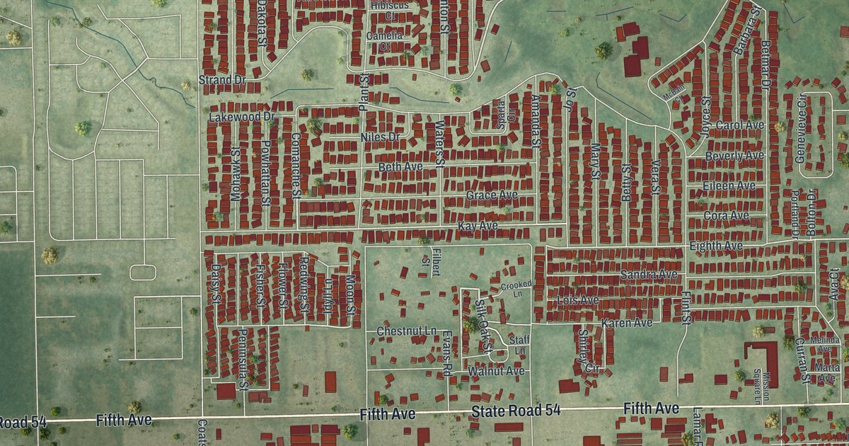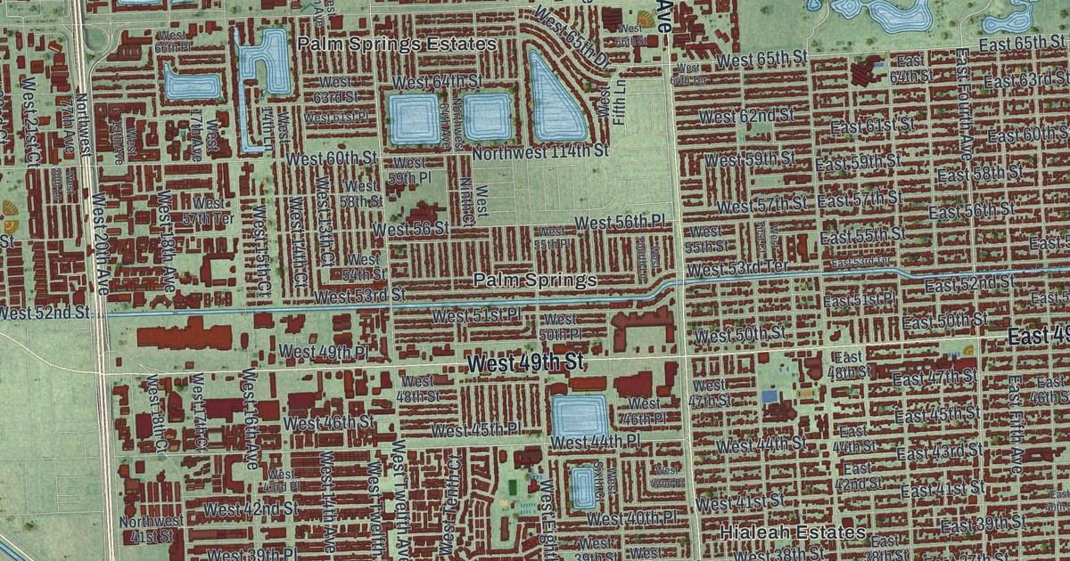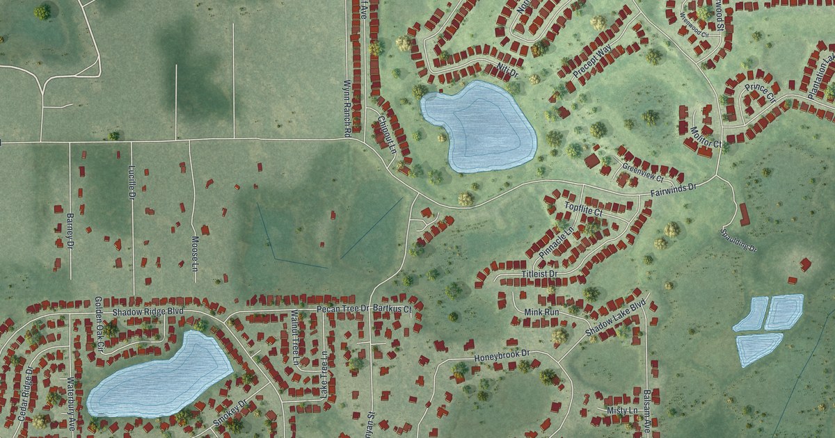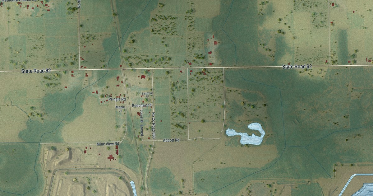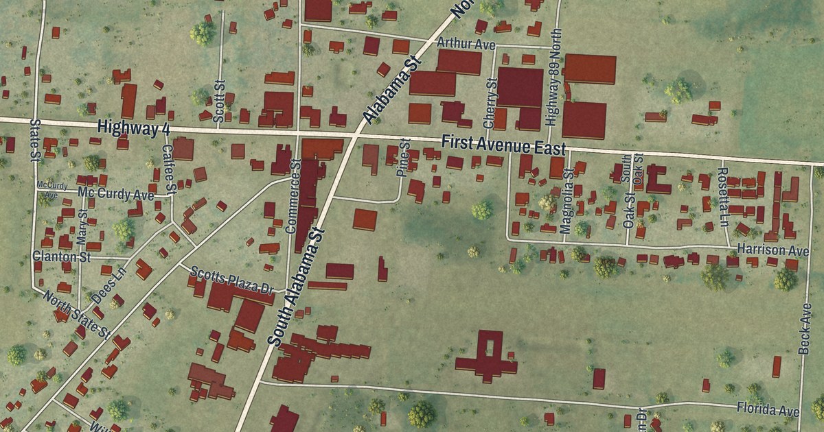
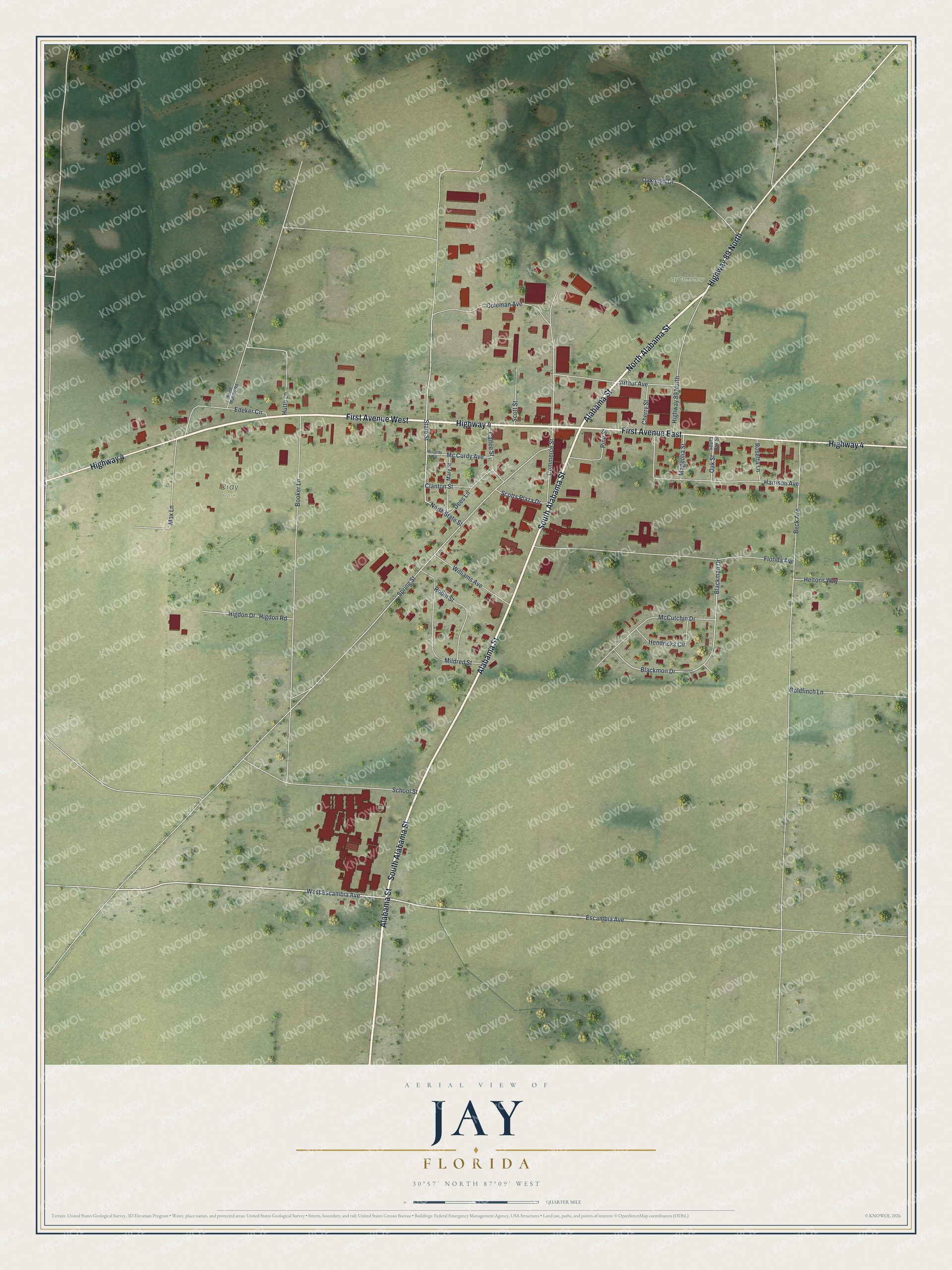
This beautifully detailed map of Jay, Florida was created in 2026 using aerial imagery combined with modern topographical, census, street and landmark data. It’s a one-of-a-kind view of Jay that combines accurate data with a vintage aesthetic. The map shows every building in its true location, many of the roads carry their names, and the shaded topographic relief shows the shape of the land.
Explore an aerial view of Jay, Florida
On the map you’ll find Bray Park and Jay Cemetery, along with North Alabama Street, South Alabama Street, First Avenue West, Highway 4, Alabama Street, First Avenue East, Highway 89 North, Escambia Avenue, North State Street, State Street, and more. If you look closely you can even find your house accurately drawn in its correct location. Zoom in on the preview to look for yours.
Did You Know?
In 1902 a committee chose a name for the farming community once called Pine Level. James Thomas Nowling suggested Pine Level, but another Florida post office already had it. Postal officials then named the office for his nickname, Jay. Nowling became its first postmaster.
Take a closer look at the Jay map
Names on this map
These names are printed on this map.
Places: Bray Park and Jay Cemetery.
Streets and roads: North Alabama Street, South Alabama Street, First Avenue West, Highway 4, Alabama Street, First Avenue East, Highway 89 North, Escambia Avenue, North State Street, State Street, Spring Street, Florida Avenue.
More street names, A to Z
Arthur Avenue, Beck Avenue, Blackman Drive, Blackmon Drive, Booker Lane, Calfee Street, Cherry Street, Clanton Street, Coleman Avenue, Commerce Street, Dees Lane, Edeker Circle, Goldfinch Lane, Harrison Avenue, Heltons Way, Hendricks Circle, Higdon Drive, Higdon Road, Hutto Lane, Magnolia Street, Mary Street, Max Lane, Mc Curdy Avenue, McCurdy Avenue, McCutchin Drive, Mildred Street, North Murphy Road, Oakleigh Drive, Oak Street, Pine Street, Robin Street, Rosetta Lane, School Street, Scotts Plaza Drive, Scott Street, South Oak Street, West Escambia Avenue, Williams Avenue.
See it on a wall
The Jay map as a framed print. Swipe for more.


This beautifully detailed map of Jay makes an attractive addition to your office, library, or den, and it can even be used to teach children the geography and history of the area. It also makes a great gift for someone who left Jay and still calls it home. When you’re done exploring, click here to get your copy of the Jay map.