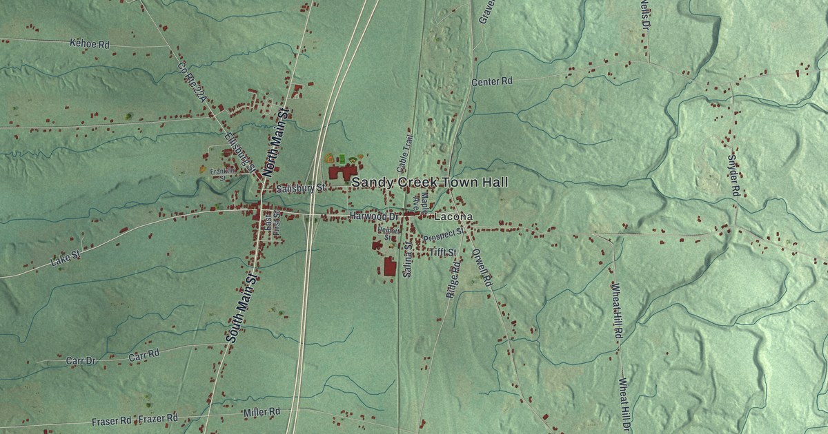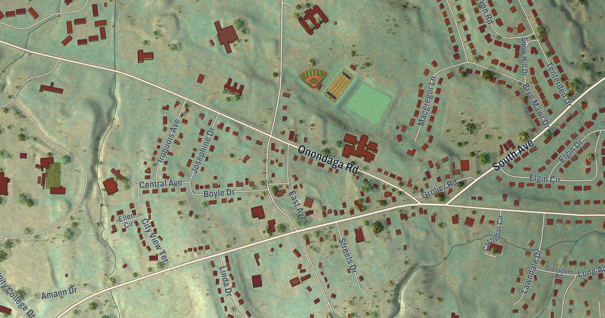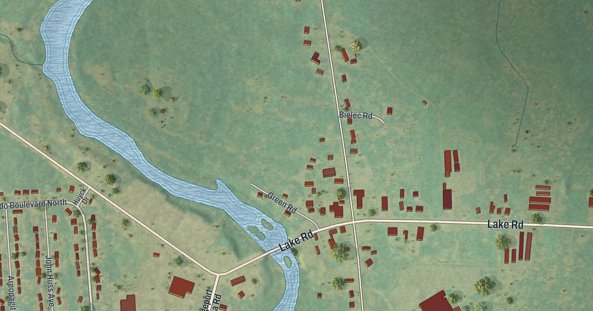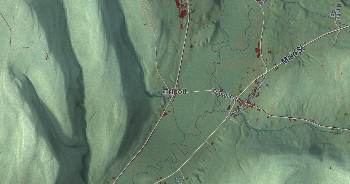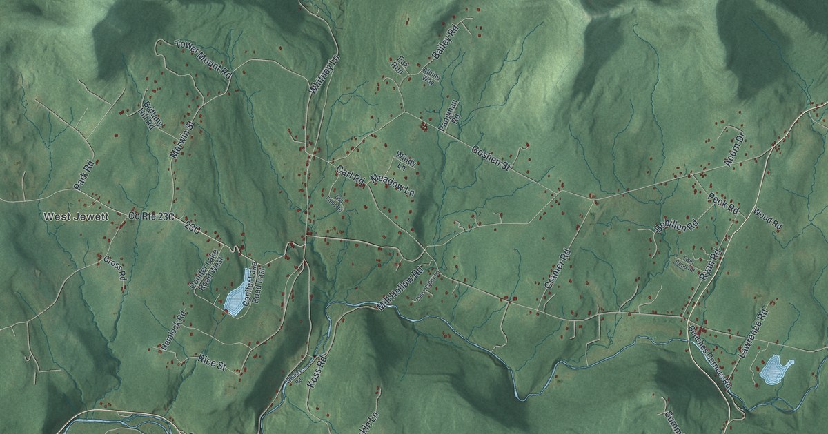
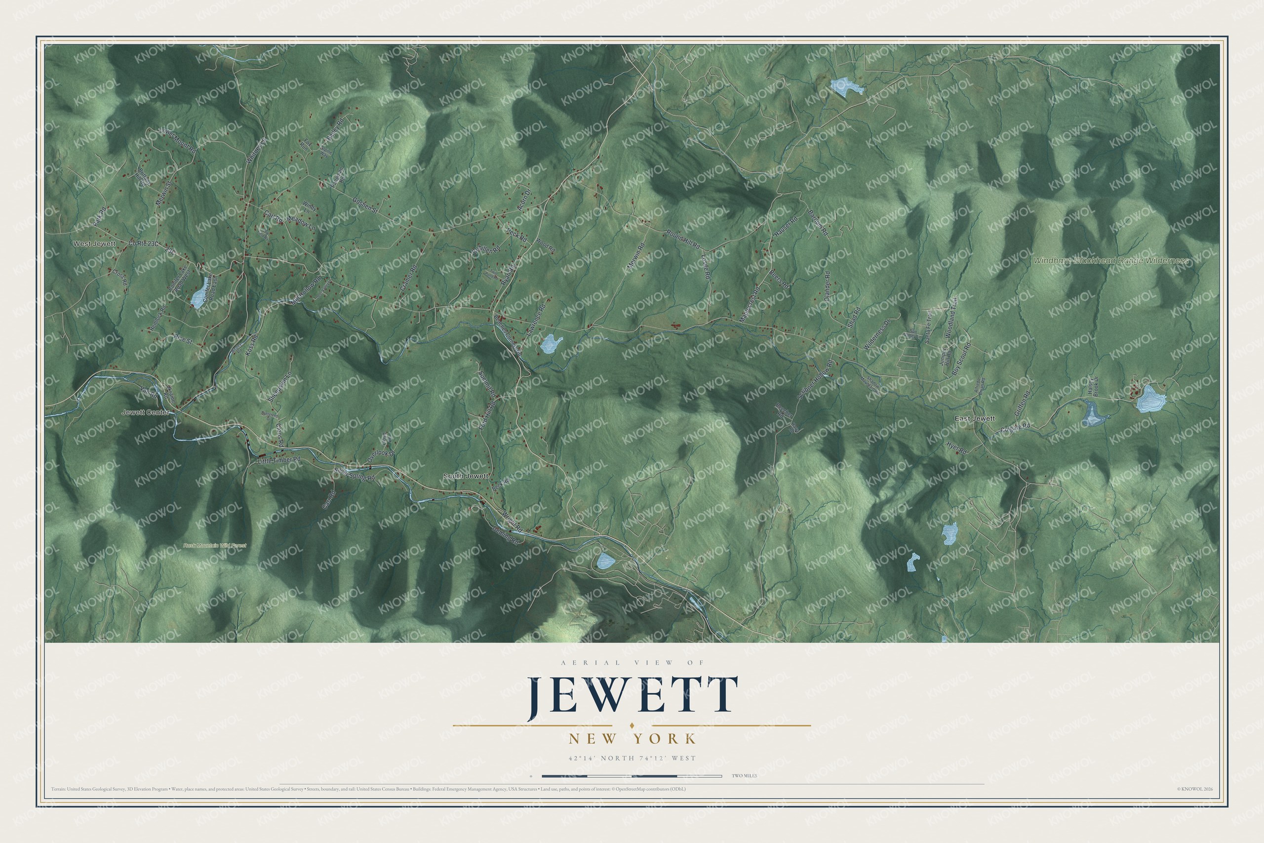
This beautifully detailed map of Jewett, New York was created in 2026 using aerial imagery combined with modern topographical, census, street and landmark data. It’s a one-of-a-kind view of Jewett that combines accurate data with a vintage aesthetic. The map shows every building in its true location, many of the roads carry their names, and the shaded topographic relief shows the shape of the land.
Explore an aerial view of Jewett, New York
On the map you’ll find West Jewett, Jewett Center, East Jewett, South Jewett, and Rusk Mountain Wild Forest, along with Merwin Street, Colgate Road, Goshen Street, Round Hill Road, Ford Hill Road, and more. If you look closely you can even find your house accurately drawn in its correct location. Zoom in on the preview to look for yours.
Did You Know?
Jewett takes its name from Freeborn G. Jewett, a justice of the New York Supreme Court. Settlers first arrived in the area in 1784. The town itself was created in 1849 from land taken from Hunter and Lexington.
Take a closer look at the Jewett map
Names on this map
These names are printed on this map.
Places: West Jewett, Jewett Center, Rusk Mountain Wild Forest, Windham-Blackhead Range Wilderness, East Jewett and South Jewett.
Streets and roads: Merwin Street, Colgate Road, Goshen Street, Round Hill Road, Ford Hill Road, Little Timber Road, Scribner Hollow Road, Mill Hollow Road, Tower Mount Road, Maplecrest Road, Merwin Road, Rice Street.
More street names, A to Z
Acorn Drive, Alfredo Bryan Road, Alpine Way, Bailey Road, Barnum Road, Beaches Corners Road, Beck Road, Beecher Road, Beers Road, Bobillen Road, Boy Scout Road, Brittany Hill Road, Carl Road, Carr Road, Cloos Road, Conifer Lake Road East, Conifer Lake Road West, Cramer Road, Cross Road, Deer Valley Lane, Deming Road, Evergreen Drive, Fox Run, Griffen Road, Halsey Brook Drive, Harra Road, Hauser Road, Hemlock Road, Hyer Road, Juniper Hill Road, Koss Road, Lawrence Road, Lloyd Lane, Losee Road, Meadow Lane, Olander Road, Old Field Road, Overlook Drive, Pangman Road, Park Road, Peck Road, Ryan Road, Santa Fe Trail, Shadow Mountain Road, Shad Road, Sheepskin Lane, Silver Spring Road, Summit Road, Sun Valley Lane, Twin Pond Road, Ukraine Road, Van Road, Whaley Road, Whitney Lane, Wilderness Drive, Windy Lane, Woodland Trail, Wood Road, Wright Road.
See it on a wall
The Jewett map as a framed print. Swipe for more.


This beautifully detailed map of Jewett makes an attractive addition to your office, library, or den, and it can even be used to teach children the geography and history of the area. It also makes a great gift for anyone with Jewett roots. When you’re done exploring, click here to get your copy of the Jewett map.