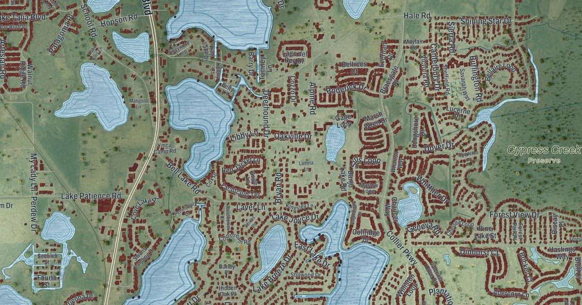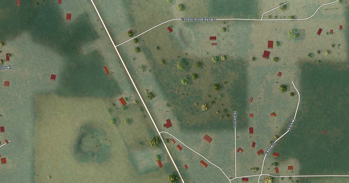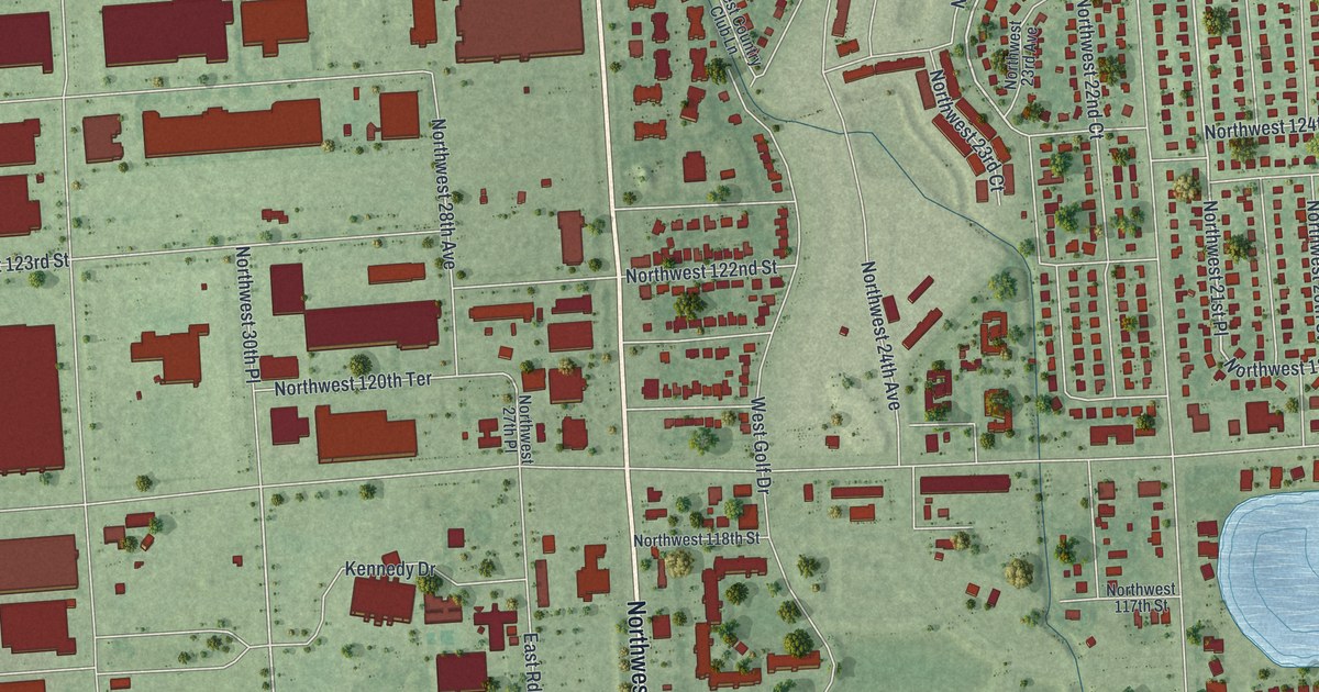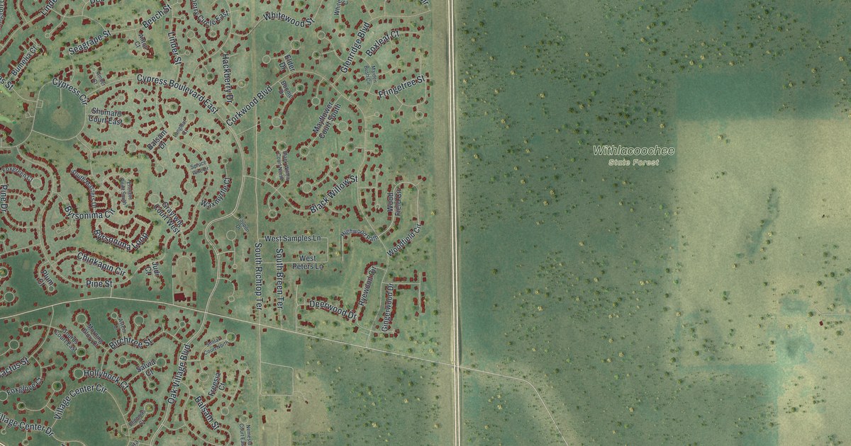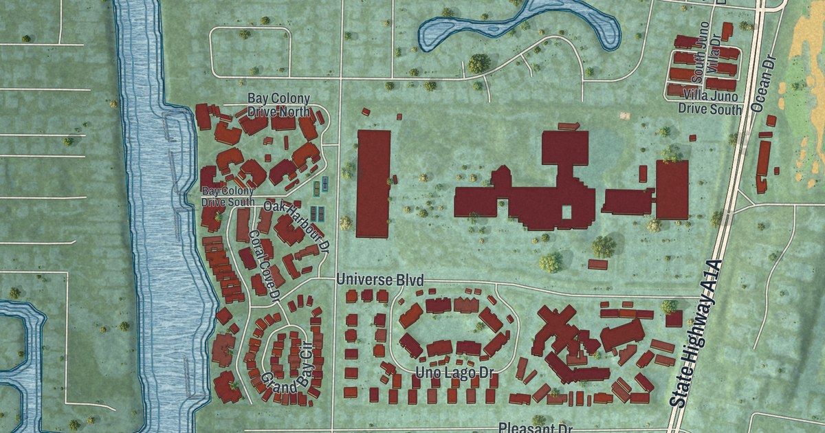
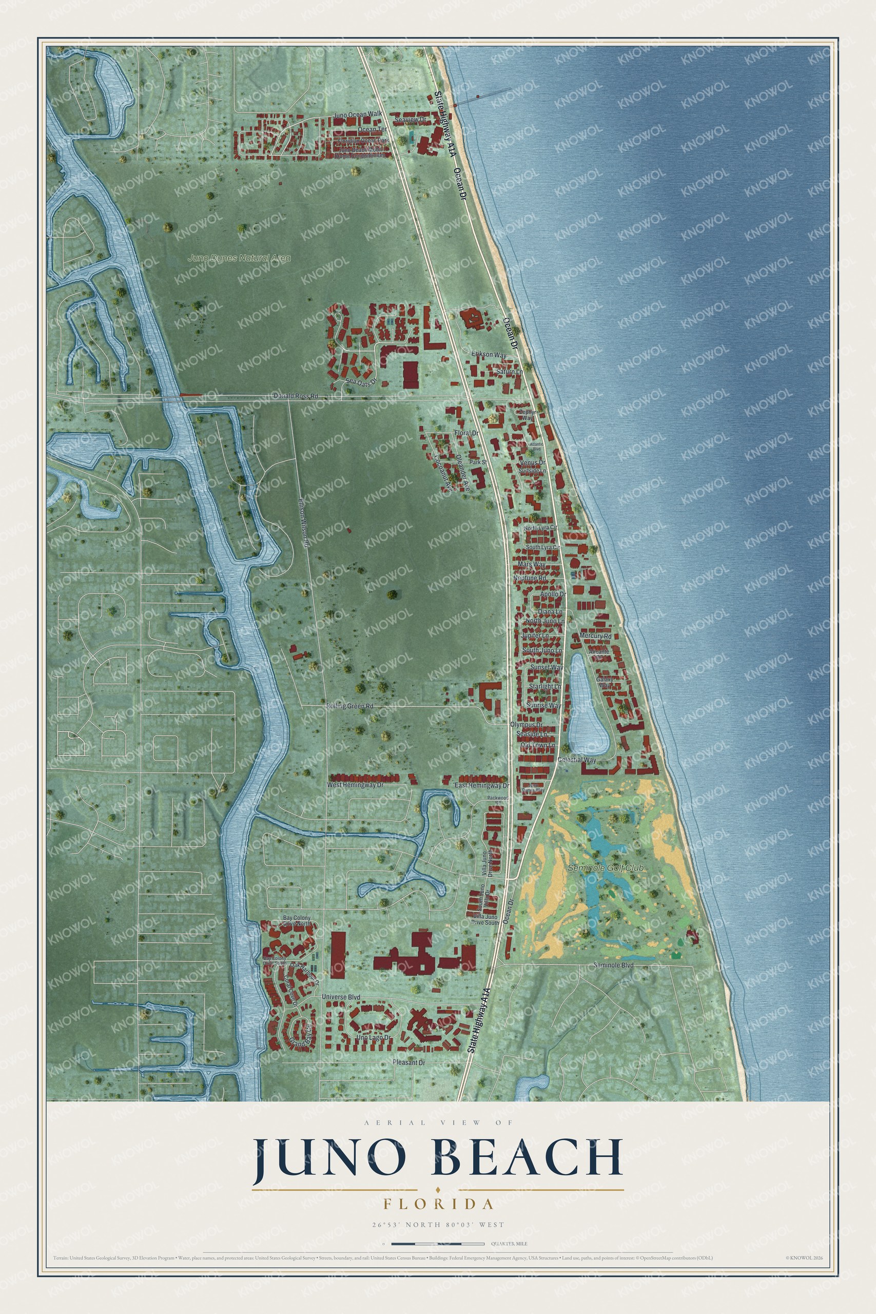
This beautifully detailed map of Juno Beach, Florida was created in 2026 using aerial imagery combined with modern topographical, census, street and landmark data. It’s a one-of-a-kind view of Juno Beach that combines accurate data with a vintage aesthetic. The map shows every building in its true location, many of the roads carry their names, and the shaded topographic relief shows the shape of the land.
Explore an aerial view of Juno Beach, Florida
On the map you’ll find Juno Dunes Natural Area, Seminole Golf Club, and Juno Ocean Walk, along with State Highway A1A, Ocean Drive, Sea Oats Drive, Floral Drive, Rolling Green Road, Seminole Boulevard, Donald Ross Road, Ellison Wilson Road, Celestial Way, and more. If you look closely you can even find your house accurately drawn in its correct location. Zoom in on the preview to look for yours.
Did You Know?
Juno Beach was named in 1890 as a sister settlement to Jupiter, its neighbor to the north. It honors Juno, the Roman goddess who was Jupiter’s wife. The D-Day landing beach in Normandy, named in 1944, shares the name only by coincidence.
Take a closer look at the Juno Beach map
Names on this map
These names are printed on this map.
Places: Juno Dunes Natural Area, Seminole Golf Club and Floridian Ocean Park.
Streets and roads: Ocean Drive, Juno Ocean Walk, Sea Oats Drive, Floral Drive, Rolling Green Road, Seminole Boulevard, Donald Ross Road, Ellison Wilson Road, Celestial Way, Erikson Way, Universe Boulevard, Uno Lago Drive.
More street names, A to Z
Alicante Drive, Apollo Drive, Atlantic Boulevard, Bay Colony Drive North, Bay Colony Drive South, Cocoanut Avenue, Coral Cove Drive, Diana Lane, East Hemingway Drive, Galaxy Way, Grand Bay Circle, Juno Beach Mobil Home Condominium, Juno Dunes Way, Jupiter Lane, Mars Way, Mercury Road, Neptune Road, North Juno Lane, North Lyra Circle, Oak Harbour Drive, Ocean Terrace, Old Town Lane, Oleander Avenue, Olympus Drive, Packwood Road, Park Street, Pleasant Drive, Saturn Lane, Seaside Lane, Seaview Drive, South Juno Lane, South Juno Villa Drive, South Lyra Circle, Starlight Lane, Sunrise Way, Sunset Way, Surfside Lane, Venus Drive, Villa Juno Drive North, Villa Juno Drive South, West Hemingway Drive, Zephyr Way.
See it on a wall
The Juno Beach map as a framed print. Swipe for more.


This beautifully detailed map of Juno Beach makes an attractive addition to your office, library, or den, and it can even be used to teach children the geography and history of the area. It also makes a great gift for anyone who grew up in Juno Beach or moved away. When you’re done exploring, click here to get your copy of the Juno Beach map.