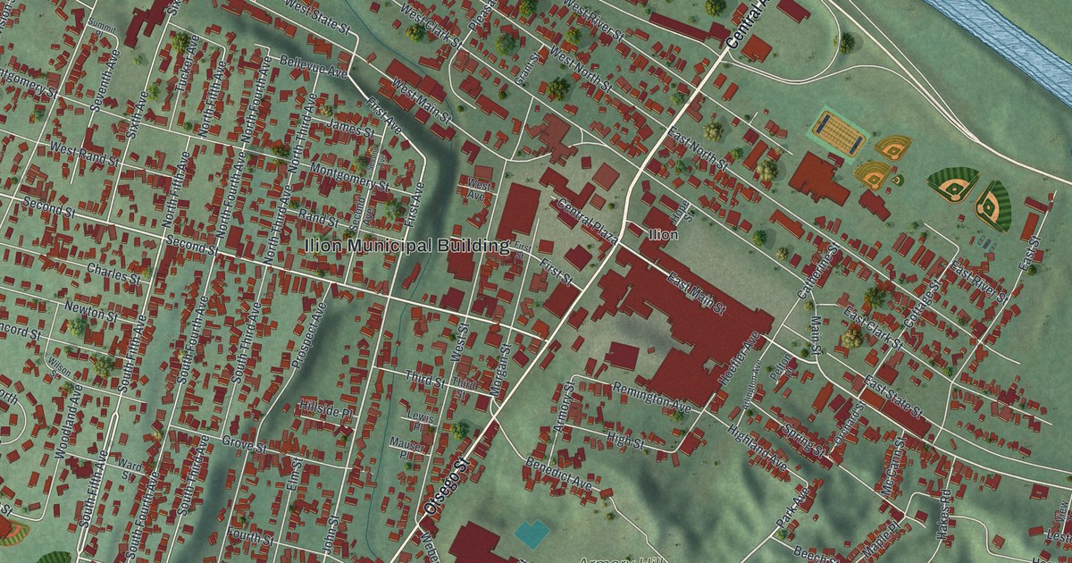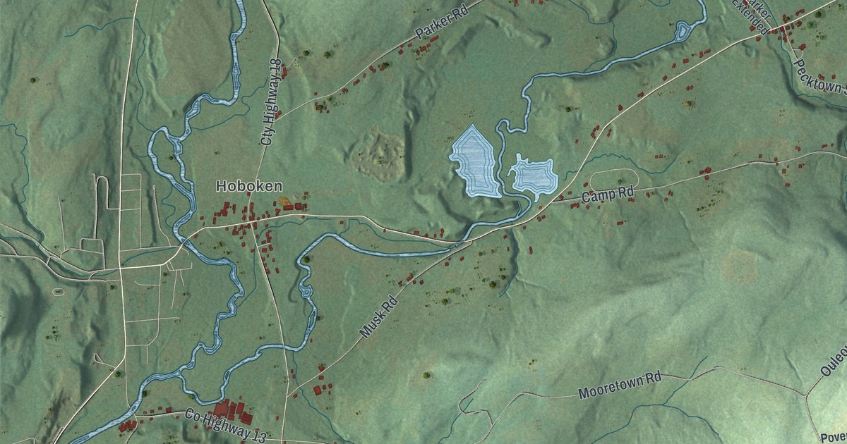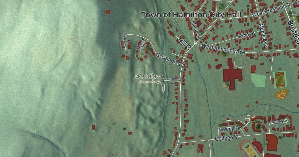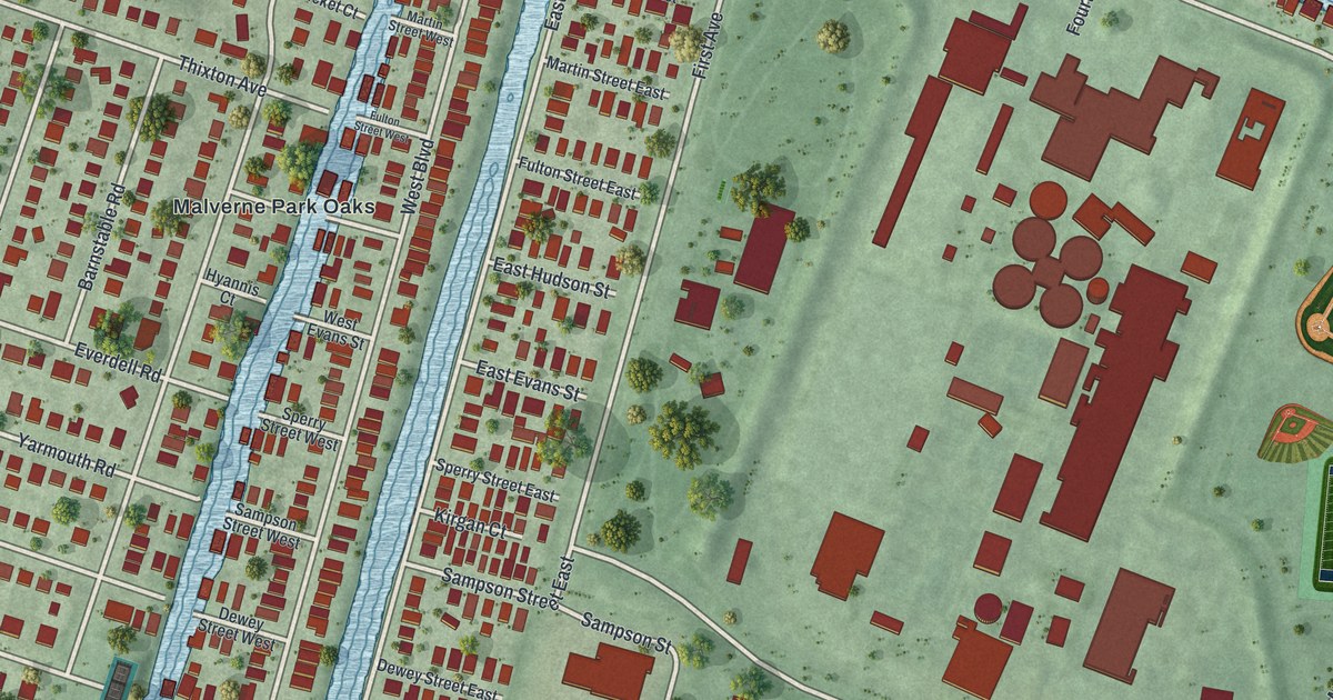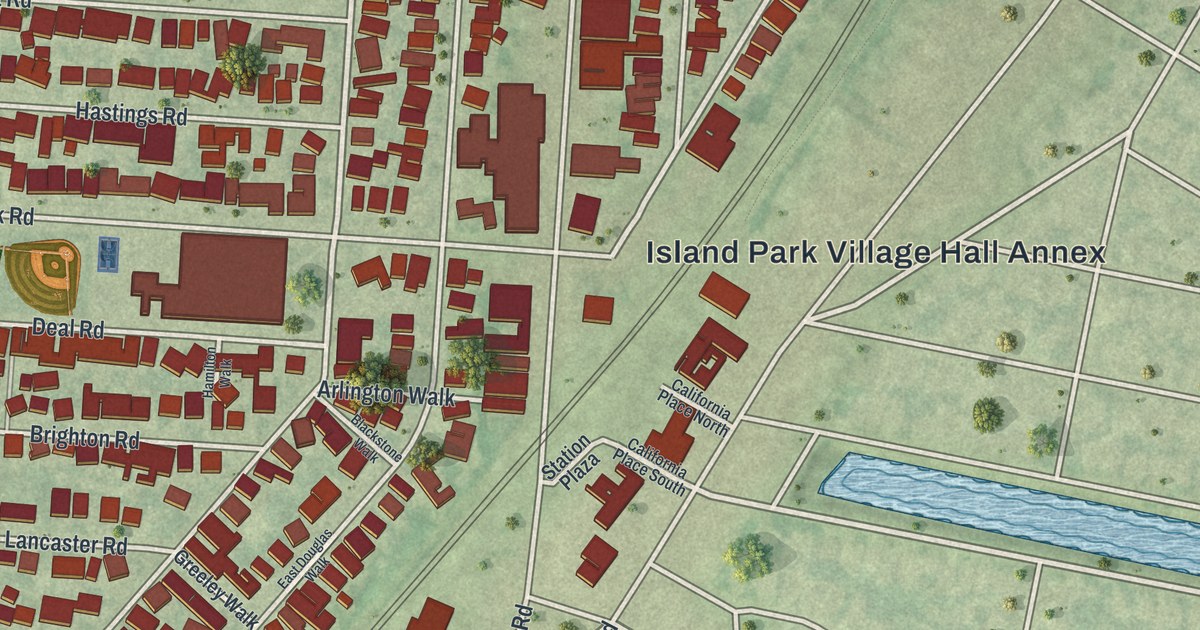
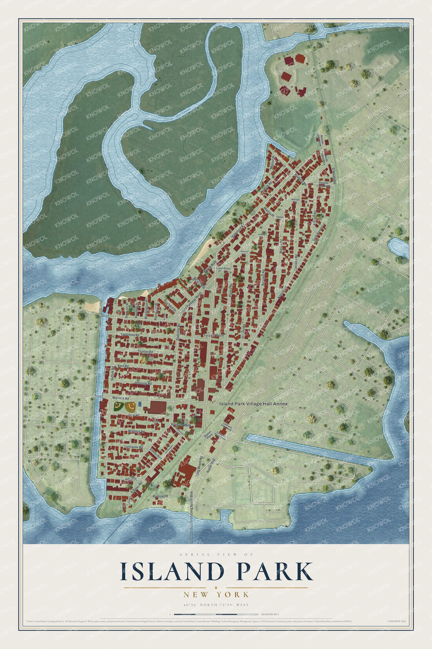
This beautifully detailed map of Island Park, New York was created in 2026 using aerial imagery combined with modern topographical, census, street and landmark data. It’s a one-of-a-kind view of Island Park that combines accurate data with a vintage aesthetic. The map shows every building in its true location, many of the roads carry their names, and the shaded topographic relief shows the shape of the land.
Explore an aerial view of Island Park, New York
On the map you’ll find Island Park Village Hall Annex, along with Austin Boulevard, Waterford Road, Island Parkway, Radcliffe Road, and more. If you look closely you can even find your house accurately drawn in its correct location. Zoom in on the preview to look for yours.
Did You Know?
Plans to build on the island stopped when World War I broke out. In the 1920s the Island Park-Long Beach Company developed it as a resort community. Island Park became a village in 1926. Its first mayor, Charles N. Talbot, served for 12 years.
Take a closer look at the Island Park map
Names on this map
These names are printed on this map.
Places: Island Park Village Hall Annex and Island Park.
Streets and roads: Austin Boulevard, Waterford Road, Island Parkway North, Radcliffe Road, Nassau Lane, Long Beach Road, Quebec Road, Suffolk Road, Sagamore Road, Parma Road, Ostend Road, Warwick Road.
More street names, A to Z
Arlington Walk, Beach Walk, Beach Way, Blackstone Walk, Brighton Road, California Place North, California Place South, Covert Lane, D'Amato Road, Deal Road, East Douglas Walk, Fazio Lane, Firemans Square, Greeley Walk, Hamilton Walk, Hastings Road, Jackson Place, Julian Place, Kent Road, Kildare Road, Lancaster Road, Landgraf Lane, Long Beach Boulevard, Lorraine Road, Marina Place, Marina Road, Marion Place, Nassau Lane North, Newport Road, Norfolk Road, North Nassau Lane, Parente Lane North, Pershing Place, Quebec, Railroad Place, Redfield Road, Roosevelt Place, Sherborne Place, Southard Drive, South Parente Lane, Station Plaza, Talbot Place, Truxton Road, Washington Place, Williams Lane.
See it on a wall
The Island Park map as a framed print. Swipe for more.


This beautifully detailed map of Island Park makes an attractive addition to your office, library, or den, and it can even be used to teach children the geography and history of the area. It also makes a great gift for anyone with Island Park roots. When you’re done exploring, click here to get your copy of the Island Park map.