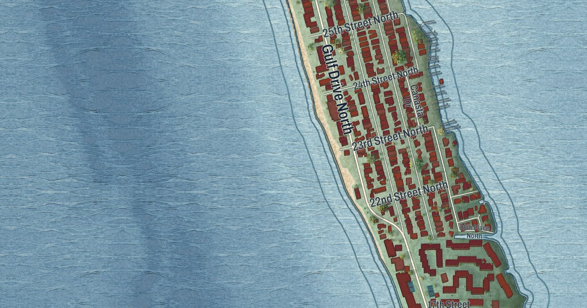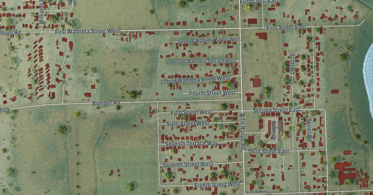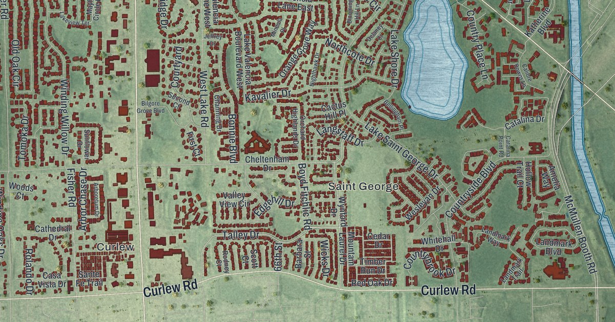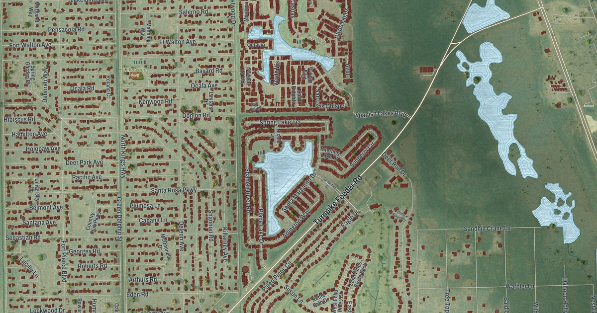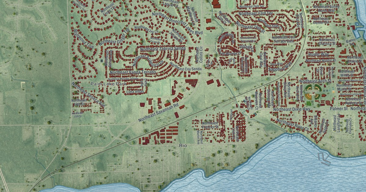
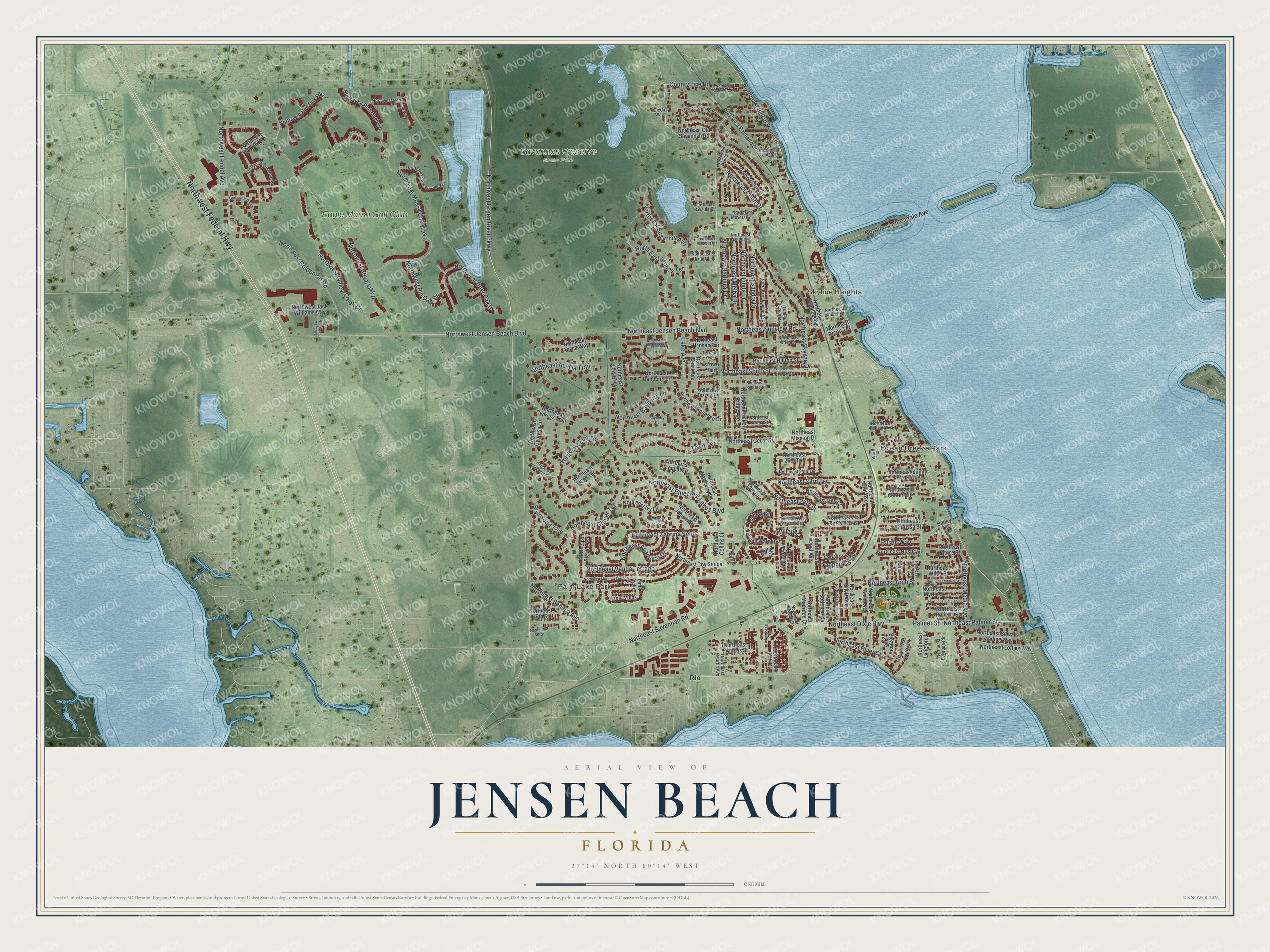
This beautifully detailed map of Jensen Beach, Florida was created in 2026 using aerial imagery combined with modern topographical, census, street and landmark data. It’s a one-of-a-kind view of Jensen Beach that combines accurate data with a vintage aesthetic. The map shows every building in its true location, many of the roads carry their names, and the shaded topographic relief shows the shape of the land.
Explore an aerial view of Jensen Beach, Florida
On the map you’ll find Ocean Breeze Park, Palm Lake Park, Skyline Heights, Langford Park, Savannas Preserve State Park, Rio, and Eagle Marsh Golf Club, along with Northwest Federal Highway, Northeast Indian River Drive, Northeast Dixie Highway, Northwest Green River Parkway, Northeast Palmer Street, and more. If you look closely you can even find your house accurately drawn in its correct location. Zoom in on the preview to look for yours.
Take a closer look at the Jensen Beach map
Names on this map
These names are printed on this map.
Places: Ocean Breeze Park, Palm Lake Park, Skyline Heights, Langford Park, Savannas Preserve State Park, Rio and Eagle Marsh Golf Club.
Streets and roads: Northwest Federal Highway, Northeast Indian River Drive, Northeast Dixie Highway, Northwest Green River Parkway, Northeast Palmer Street, Palmer Street, Northeast Savannah Road, Northwest Jensen Beach Boulevard, Town Terrace, Northeast Skyline Drive, Northeast Jensen Beach Boulevard, Northeast Pinecrest Lakes Boulevard.
More street names, A to Z
22nd Drive, Bailey Terrace, Bayberry Court, Blairwood Trce, County Line Road, Crown Terrace, Dixon Way, Eleanor Avenue, Garden Vw, Lake Avenue, Lima Calle, Lima Villas, Northeast 13th Court, Northeast 14, Northeast 14th Court, Northeast 15th Street, Northeast 16th Court, Northeast 16th Street, Northeast 21st Avenue, Northeast 21st Terrace East, Northeast 21st Terrace West, Northeast 23rd Drive, Northeast 23rd Terrace, Northeast 24th Street, Northeast 24th Terrace, Northeast 25th Terrace, Northeast 29th Terrace, Northeast Abaca Way, Northeast Acacia Trail, Northeast Acapulco Drive, Northeast Arch Avenue, Northeast Arch Street, Northeast Barbara Drive, Northeast Bayberry Lane, Northeast Bayside Place, Northeast Beacon Drive, Northeast Blueberry Terrace, Northeast Blue Heron Lane, Northeast Canal Avenue, Northeast Candice Avenue, Northeast Cedar Street, Northeast Center Circle, Northeast Cheri Drive, Northeast Church Street, Northeast Clarissa Street, Northeast Collins Circle, Northeast Coy Senda, Northeast Croton Street, Northeast Cypress Lane, Northeast Cypress Trail, Northeast Dahoon Terrace, Northeast Darlich Avenue, Northeast Elaine Street, Northeast Elm Terrace, Northeast Evinrude Circle, Northeast Ficus Terrace, Northeast Forrest Court, Northeast Frances Street, Northeast Ginger Terrace, Northeast Hansen Terrace, Northeast Hickory Ridge Avenue, Northeast Hilltop Street, Northeast Holly Creek Drive, Northeast Hyline Drive, Northeast Indian Drive, Northeast Ivy Lane, Northeast Janes Terrace, Northeast Jeannette Drive, Northeast Juniper Place, Northeast Langford Lane, Northeast Letitia Street, Northeast Linda Drive, Northeast Lofting Way, Northeast Loquat Lane, Northeast Maranta Terrado, Northeast Marian Street, Northeast Marlberry Lane, Northeast Martin Avenue, Northeast Maureen Court, Northeast Media Avenue, Northeast Melba Drive, Northeast Meyers Terrace, Northeast Mission Drive, Northeast Myrtle Street, Northeast Ocapi Court, Northeast Oceanview Circle, Northeast Old Savannah Road, Northeast Opal Avenue, Northeast Orion Street, Northeast Palmetto Drive, Northeast Pelican Terrace, Northeast Pineapple Avenue, Northeast Pine Hill Terrace, Northeast Quinn Place, Northeast Ricou Terrace, Northeast River Court, Northeast Roberta Street, Northeast Rosetree Drive, Northeast Rustic Place, Northeast Sago Drive, Northeast Sandra Drive, Northeast Seneca Avenue, Northeast Sewalls Landing Way, Northeast Silvia Avenue, Northeast Sottong Avenue, Northeast South Street, Northeast Steven Avenue, North East Stokes Terrace, Northeast Sugarhill Avenue, Northeast Sunny Acres Way, Northeast Sunset Drive, Northeast Sunview Road, Northeast Town Terrace, Northeast Tuxedo Terrace, Northeast Vanda Terrado, Northeast Wilda Street, Northeast Zebrina Senda, Northeast Zelda Drive, North Warner Drive, Northwest Broken Oak Trail, Northwest Cinnamon Circle, Northwest Deer Oak Drive, Northwest Fennel Avenue, Northwest Goldenrod Road, Northwest Jack Williams Way, Northwest Main Avenue, Northwest Mossy Oak Way, Northwest Oakbrook Circle, Northwest Old Oak Terrace, Northwest Pin Oak Drive, Northwest Red Maple Drive, Northwest Red Oak Way, Northwest Red Pine Way, Northwest Royal Oak Drive, Northwest Willow Creek Drive, Onyx Way, Park Street, Rustic Way, Sapphire Way, South Warner Drive, Tahiti Boulevard, Terrace Way, Village Lane, West Jensen Highlands.
See it on a wall
The Jensen Beach map as a framed print. Swipe for more.


This beautifully detailed map of Jensen Beach makes an attractive addition to your office, library, or den, and it can even be used to teach children the geography and history of the area. It also makes a great gift for someone who left Jensen Beach and still calls it home. When you’re done exploring, click here to get your copy of the Jensen Beach map.