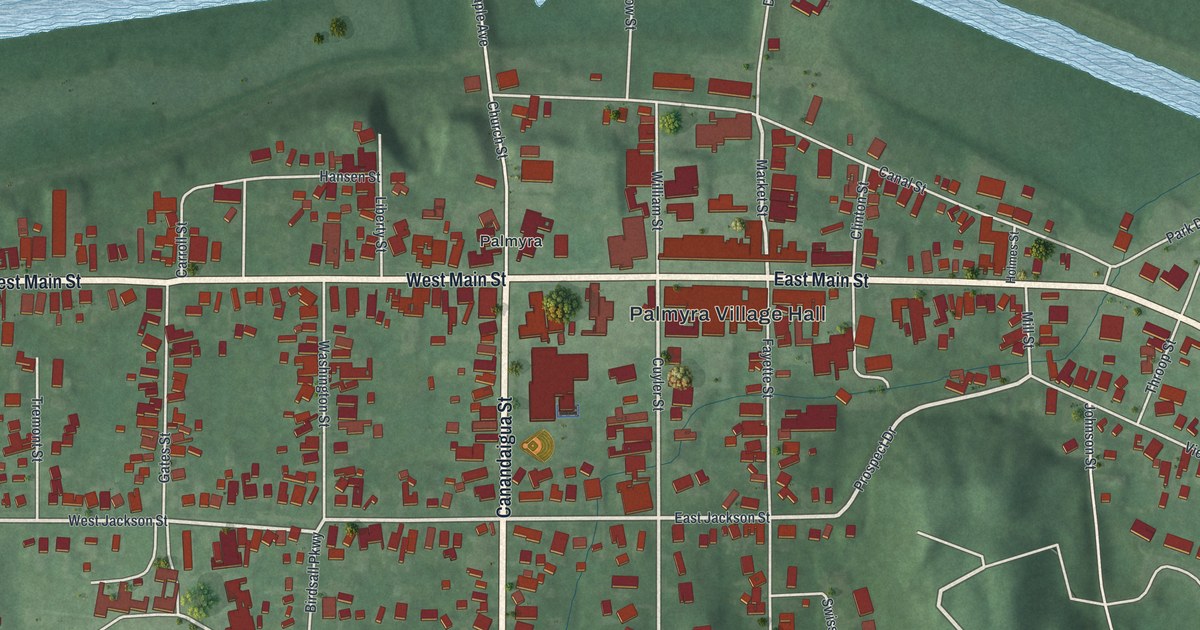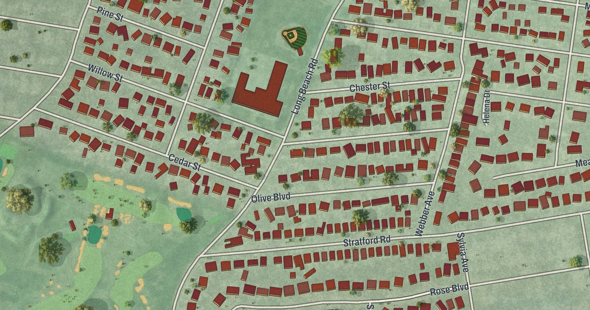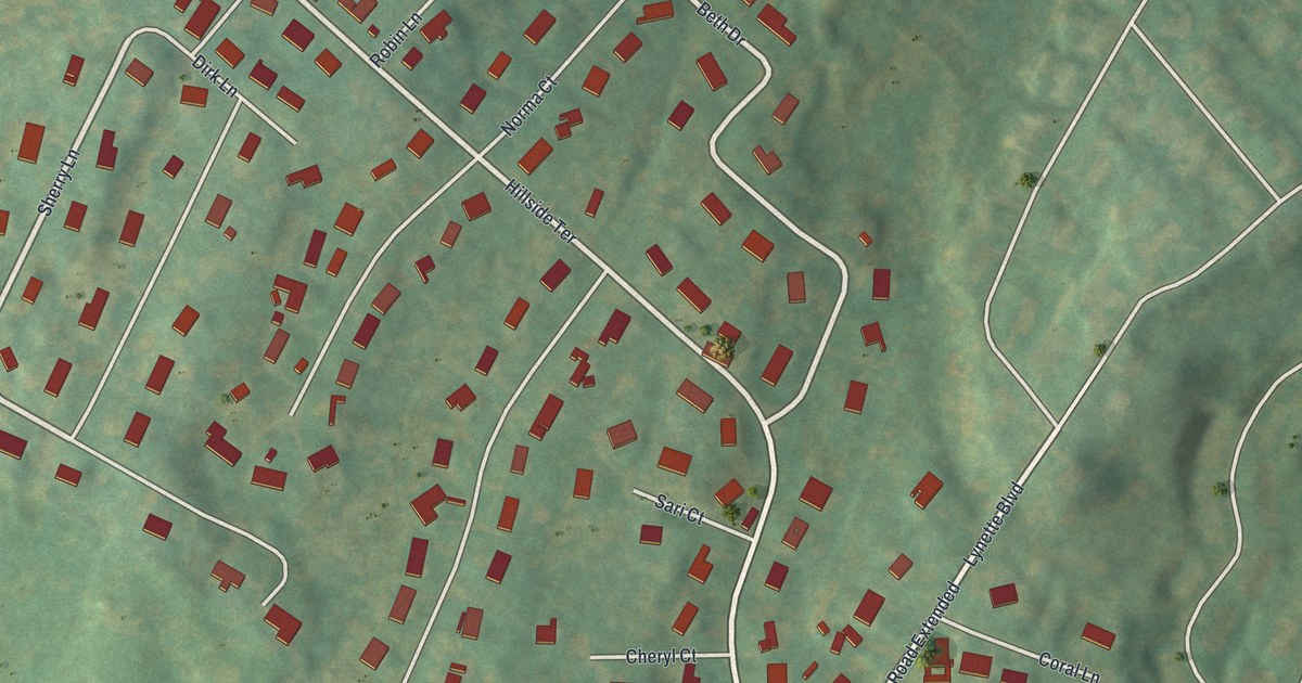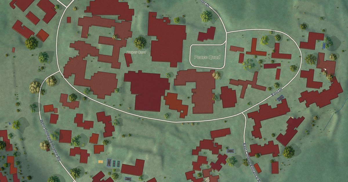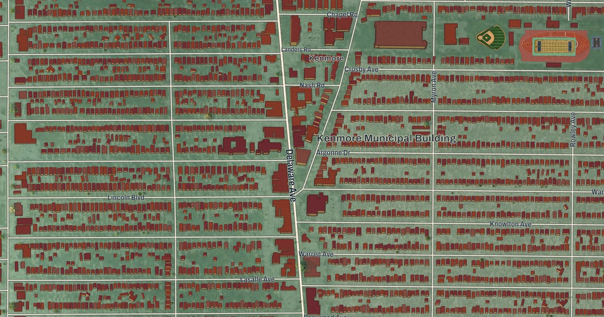
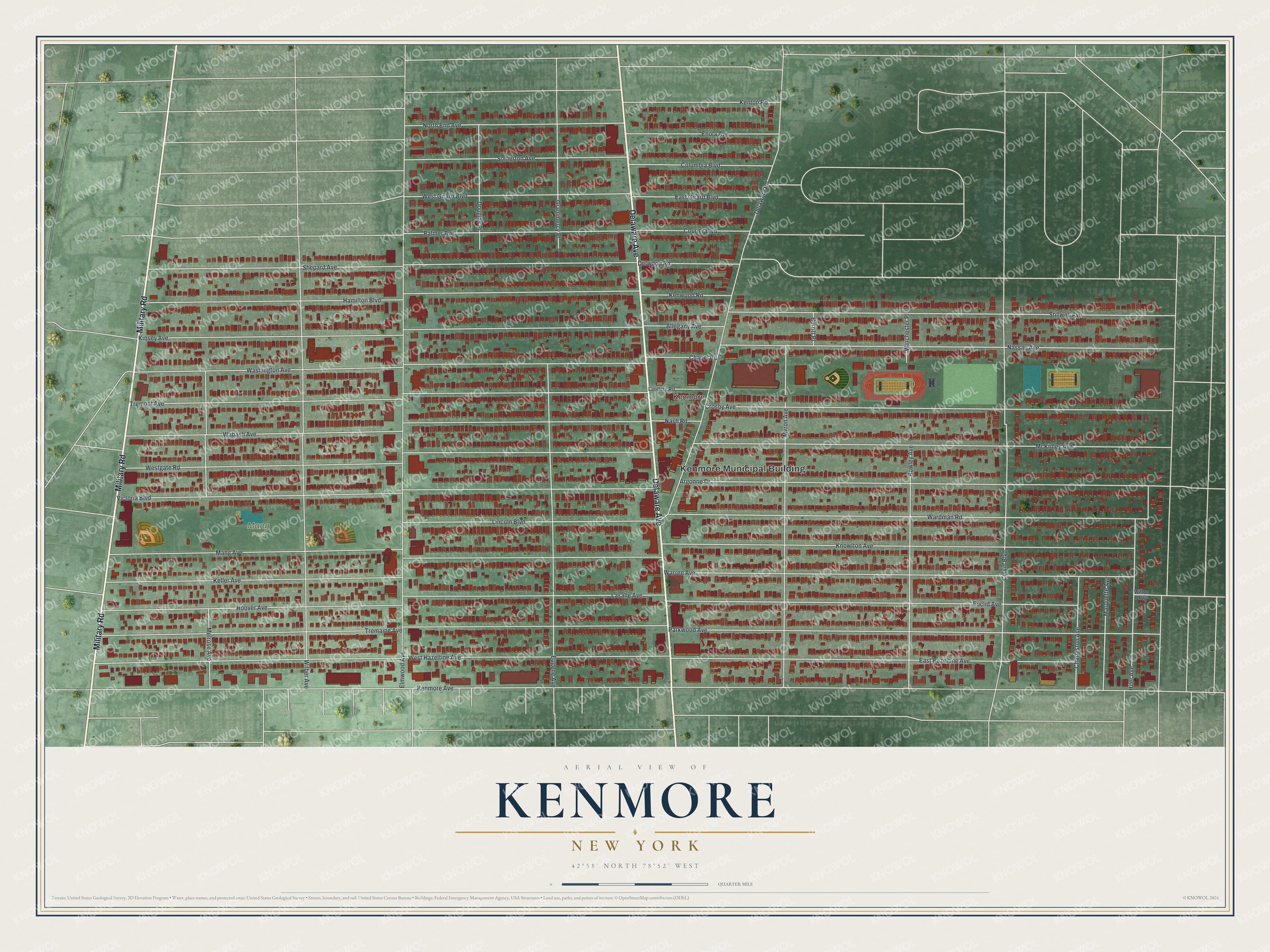
This beautifully detailed map of Kenmore, New York was created in 2026 using aerial imagery combined with modern topographical, census, street and landmark data. It’s a one-of-a-kind view of Kenmore that combines accurate data with a vintage aesthetic. The map shows every building in its true location, many of the roads carry their names, and the shaded topographic relief shows the shape of the land.
Explore an aerial view of Kenmore, New York
On the map you’ll find Kenmore Municipal Building and Mang Park, along with Delaware Avenue, Military Road, Kenmore Avenue, Elmwood Avenue, and more. If you look closely you can even find your house accurately drawn in its correct location. Zoom in on the preview to look for yours.
Did You Know?
Kenmore split off from the town of Tonawanda and incorporated in 1899. People call it Buffalo’s First Suburb. Louis Eberhardt bought farmland and divided it into a suburban development, and he became known as the father of Kenmore. He refused to let the village carry his own name. His mansion appears on the village logo.
Take a closer look at the Kenmore map
Names on this map
These names are printed on this map.
Places: Kenmore Municipal Building, Mang Park and Kenmore.
Streets and roads: Delaware Avenue, Military Road, Kenmore Avenue, Elmwood Avenue, West Hazeltine Avenue, Tremaine Avenue, Mang Avenue, Victoria Boulevard, Westgate Road, Wabash Avenue, Tremont Avenue, Washington Avenue.
More street names, A to Z
Allegany Avenue, Argonne Drive, Burritt Place, Chapel Road, Charleston Avenue, Columbia Boulevard, Colvin Boulevard, Courier Boulevard, Crosby Avenue, Delaware Road, Delwood Road, Douglas Place, East Girard Boulevard, East Hazeltine Avenue, Enola Avenue, Euclid Avenue, Eugene Avenue, Grammercy Place, Hamilton Boulevard, Hiler Avenue, Hoover Avenue, Keller Avenue, Kenton Road, Kenwood Road, Kinsey Avenue, Knowlton Avenue, Landers Road, Lasalle Avenue, Lincoln Boulevard, Marquette Avenue, McKinley Avenue, Melrose Avenue, Myron Avenue, Nash Road, Nassau Avenue, North End Avenue, Palmer Avenue, Parkwood Avenue, Rowley Avenue, Shepard Avenue, Somerton Avenue, Stillwell Avenue, Wardman Road, Warren Avenue, West Girard Boulevard, Wilber Avenue, Wilton Parkway, Winchester Place.
See it on a wall
The Kenmore map as a framed print. Swipe for more.


This beautifully detailed map of Kenmore makes an attractive addition to your office, library, or den, and it can even be used to teach children the geography and history of the area. It also makes a great gift for anyone with Kenmore roots. When you’re done exploring, click here to get your copy of the Kenmore map.