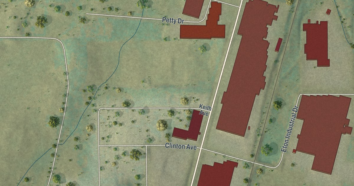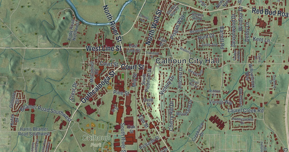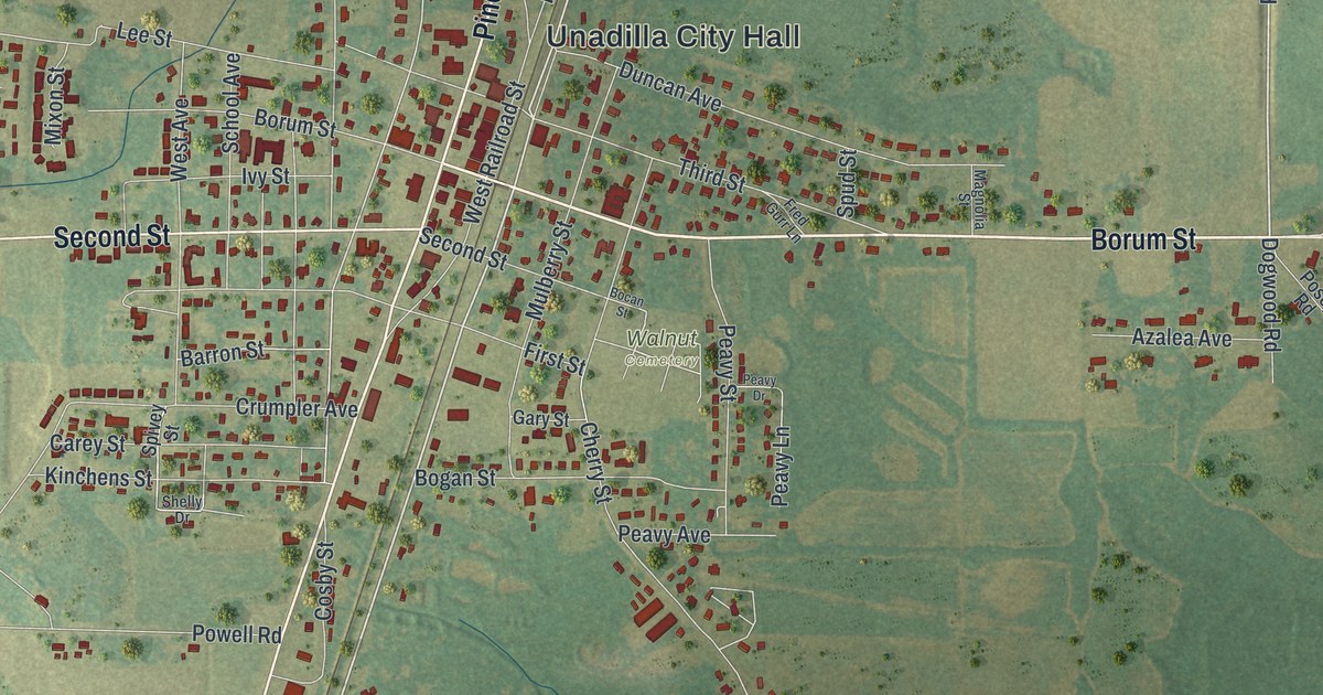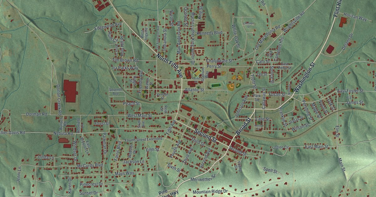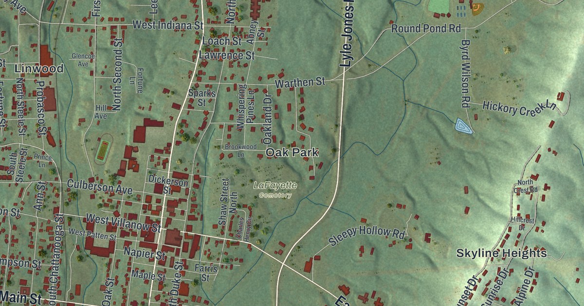
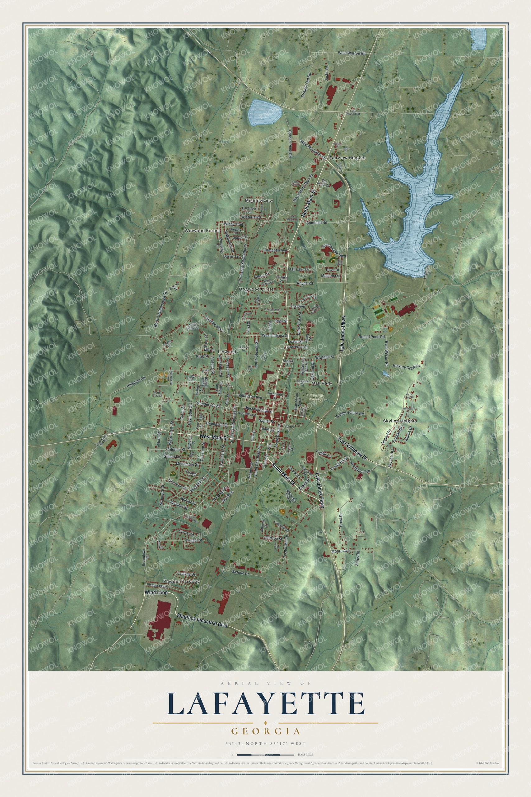
This beautifully detailed map of LaFayette, Georgia was created in 2026 using aerial imagery combined with modern topographical, census, street and landmark data. It’s a one-of-a-kind view of LaFayette that combines accurate data with a vintage aesthetic. The map shows every building in its true location, many of the roads carry their names, and the shaded topographic relief shows the shape of the land.
Explore an aerial view of LaFayette, Georgia
On the map you’ll find Meadowview, Winwood Forest, and Fairview Heights, along with Main Street, Wind Loop, Lyle Jones Parkway, Shattuck Industrial Boulevard, Villanow Street, Pledger Parkway, Dogwood Circle, and more. If you look closely you can even find your house accurately drawn in its correct location. Zoom in on the preview to look for yours.
Did You Know?
LaFayette became the seat of Walker County in 1835. It was first called Chatooga, then Benton. Finally it took the name LaFayette in honor of the French general. The town grew faster after the Chattanooga, Rome and Columbus Railroad came through in 1888. That’s from the 1940 WPA guide to Georgia.
Take a closer look at the LaFayette map
Names on this map
These names are printed on this map.
Places: Pledger Parkway, Meadowview, Winwood Forest, LaFayette Cemetery, Dogwood Circle, Fairview Heights, Linwood, Oak Park and Skyline Heights.
Streets and roads: North Main Street, South Main Street, Wind Loop, Lyle Jones Parkway, Shattuck Industrial Boulevard, West Main Street, East Villanow Street, South Chattanooga Street, West Villanow Street, Foster Boulevard, North Chattanooga Street, West Indiana Street.
More street names, A to Z
Abney Street, Alpine Drive, Ann Street, Anthony Street, Azalea Drive, Bank Street, Bomar Street, Boy Scout Drive, Bradley Avenue, Brookwood Lane, Broomtown Road, Byrd Wilson Road, Campbell Avenue, Cavender Street, Chandler Drive, Charles Henry Circle, Chestnut Street, Chota Circle, Colerain Street, Cook Industrial Boulevard, Cooper Street, Crane Street, Crest Drive, Culberson Avenue, Darvin Lane, Daugherty Street, Davenport Lane, Dickerson Street, Dove Drive, East Avenue, Elm Street, Enloe Street, Evaline Street, Farris Street, Fernwood Drive, First Street, Flora Street, Fortune Lane, Fortune Street, Foster Circle, Foster Mill Drive, Gasque Drive, Gilbert Lane, Glencoe Avenue, Glenn Street, Gordon Pond Road, Grant Street, Gregory Lane, Hale Street, Hall Street, Henderson Street, Hickory Creek Lane, Hill Avenue, Hillcrest Drive, Hillsdale Road, Hill Street, Hobart Lane, Jackson Street, Jessie Drive, Johnson Street, Jones Street, Justin Drive, Kilgore Drive, King Street, Knoll Drive, Lake Howard Road, Lakeside Drive, Lakeview Drive, Langley Drive, Laurel Drive, Lawrence Street, Lee Street, Loach Street, Louise Drive, Magnolia Street, Mallard Lane, Maple Street, McArthur Street, McLemore Street, Meadow Street, Mill Street, Moore Avenue, Municipal Park Drive, Napier Street, North Circle Drive, North Crest Road, North Duke Street, North Enloe Street, North Flora Street, North Second Street, North Steele Street, Oakland Drive, Oak Ridge Drive, Oak Street, Park Street, Parnell Court, Patterson Road, Pickard Drive, Pine Street, Pledger Street, Prince Lane, Probasco Street, Probasco Street North, Quail Run, Rhyne Road, Ridgecrest Drive, Roadrunner Boulevard, Round Pond Road, Shaw Street North, Sizemore Street, Sleepy Hollow Road, South Azalea Drive, South Burnt Mill Road, South Cherokee Street, South Circle Drive, South Duke Street, South High Street, South Steele Street, Sparks Street, Spencer Street, Stanfield Road, Stiles Road, Straight Gut Road, Sunrise Drive, Sunset Drive, Thompson Street, Thornton Street, Thurman Street, Trail Lake Drive, Truman Street, Walnut Street, Warrenfells Street, Warthen Street, Webb Wheeler Road, West McCarter Road, West Morgan Street, West North Main Street, West Patten Street, West Warren Road, Whippoorwill Lane, Whispering Pines Lane, Windsong Drive, Windy Trail, Wisteria Road, Worth Street, Yester Oaks Drive.
See it on a wall
The LaFayette map as a framed print. Swipe for more.


This beautifully detailed map of LaFayette makes an attractive addition to your office, library, or den, and it can even be used to teach children the geography and history of the area. It also makes a great gift for someone who left LaFayette and still calls it home. When you’re done exploring, click here to get your copy of the LaFayette map.