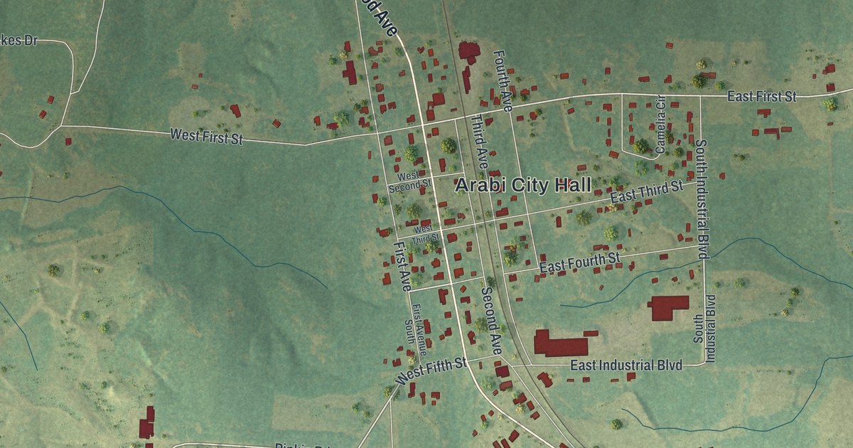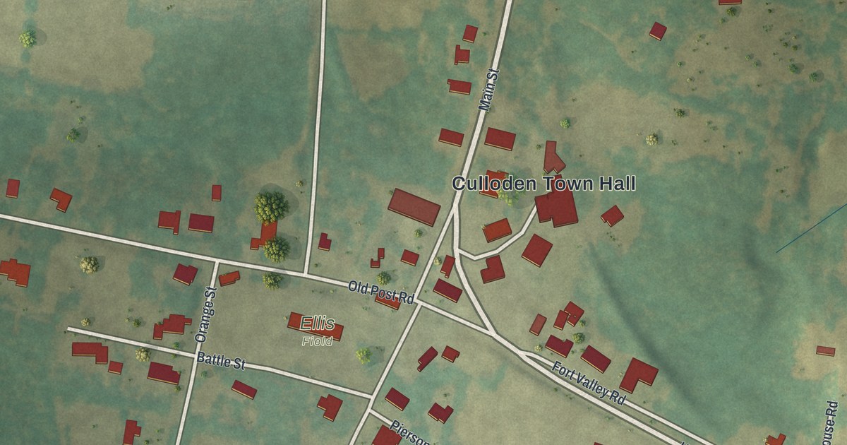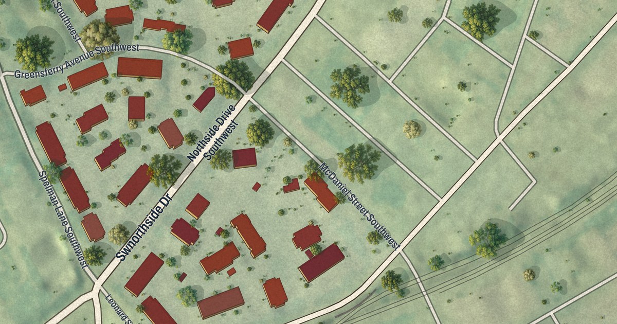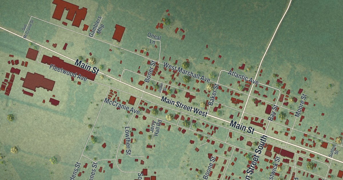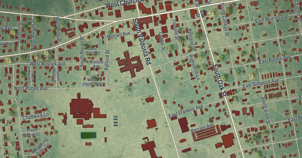
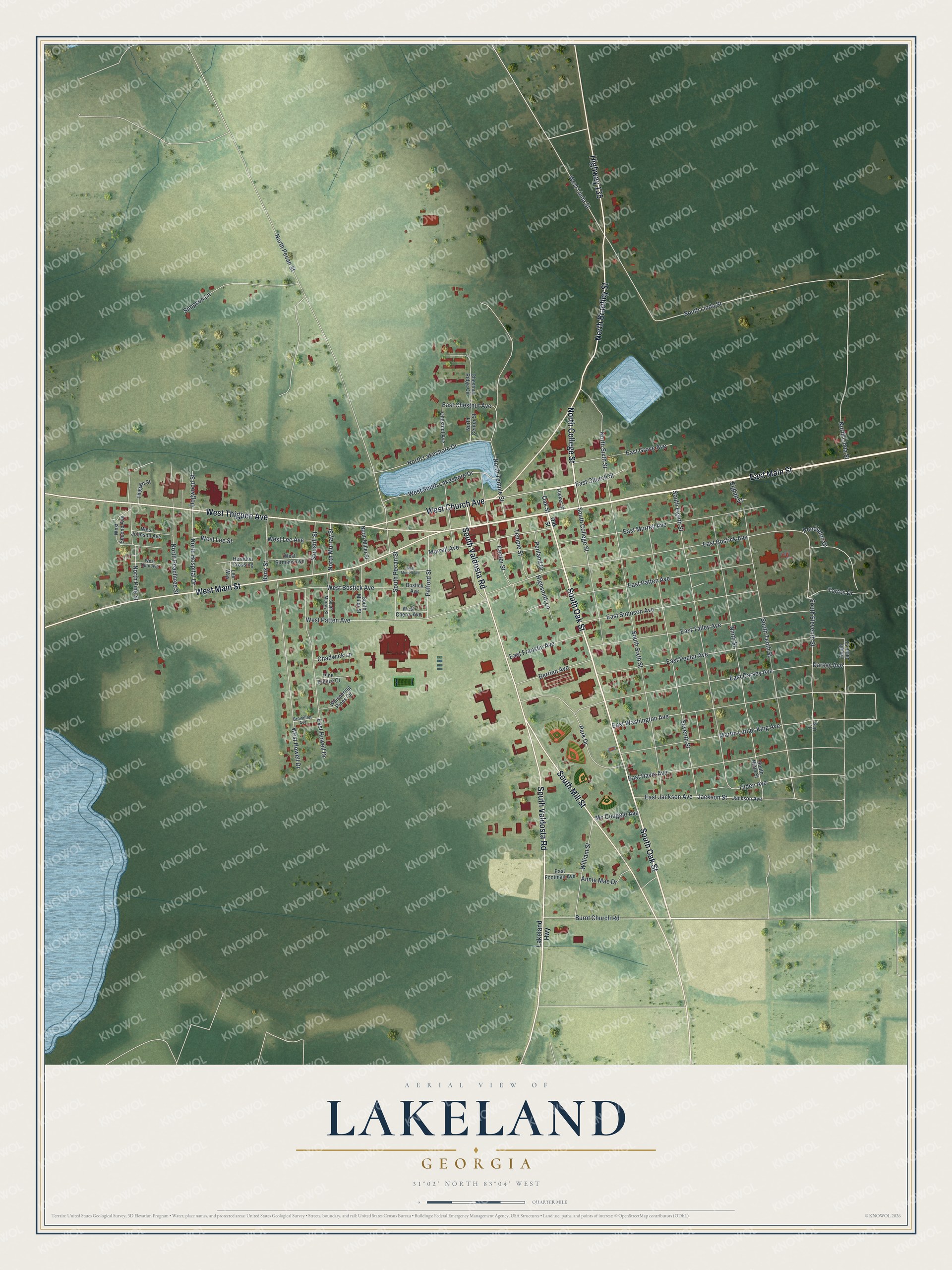
This beautifully detailed map of Lakeland, Georgia was created in 2026 using aerial imagery combined with modern topographical, census, street and landmark data. It’s a one-of-a-kind view of Lakeland that combines accurate data with a vintage aesthetic. The map shows every building in its true location, many of the roads carry their names, and the shaded topographic relief shows the shape of the land.
Explore an aerial view of Lakeland, Georgia
On the map you’ll find College Street, Valdosta Road, Main Street, Brantley Street, Oak Street, and more. If you look closely you can even find your house accurately drawn in its correct location. Zoom in on the preview to look for yours.
Did You Know?
Lakeland began in the late 1830s as Alapaha, a settlement near Joshua Lee’s mill. Its post office opened in 1838, named for the Alapaha River. As more mills came, the town was renamed Milltown in 1857. It later took the name Lakeland for Grand Bay Lake, Lake Irma, and Banks Lake.
Take a closer look at the Lakeland map
Names on this map
These names are printed on this map.
Streets and roads: North College Street, South Valdosta Road, East Main Street, West Main Street, North Brantley Street, South Oak Street, West Thigpen Avenue, South Mill Street, West Church Avenue, Highway 135, Oak Street, East Church Street.
More street names, A to Z
11 Th Street, Annie Mae Drive, Bank Street, Berrien Avenue, Bostick Avenue, Browning Avenue, Burnt Church Road, Center Street, Chadwick Lane, Chestnut Avenue, Chestnut Ridge Circle, Darsey Avenue, Dogwood Street, East Bostick Avenue, East Chestnut Avenue, East Darsey Avenue, East Davis Avenue, East Footman Avenue, East Franklin Avenue, East Grove Avenue, East Howell Drive, East Jackson Avenue, East Murrell Avenue, East Patten Avenue, East Peeler Avenue, East Simpson Avenue, East Talley Avenue, East Washington Avenue, Eighth Street, Herndon Crossing, Highsmith Lane, Jackson Avenue, Jackson Street, Lakeland Highway, Lee Way, Martin Luther King Avenue, Mc Couggle Avenue, Murrell Avenue, Ninth Street, North Center Street, North Hospital Drive, North Lakeshore Drive, North Linda Street, North Miller Street, North Murray Street, North Peachtree Street, North Pecan Street, North Pine Street, North Sixth Street, North Temple Street, Pafford Street, Park Drive, Pendleton Drive, Penland Drive, Pine Breeze Court, Seventh Street, Simpson Lane, South College Street, South Eighth Street, South Eleventh Street, South Jalen Street, South Linda Street, South Miller Street, South Murray Street, South Ninth Street, South Pecan Street, South Sixth Street, South Tenth Street, Studstill Street, Temple Street, Thigpen Street, Tilden Avenue, Torres Drive, Tucker Street, West Bostick Avenue, West Cherry Avenue, West Howell Drive, West Johnson Avenue, West Lee Avenue, West Lee Street, West Linda Street, West Murrell Avenue, West Patten Avenue, West Second Avenue, West Sirmans Avenue, West South Lakeshore Drive, West Third Avenue, Whispering Pines Circle, William Street.
See it on a wall
The Lakeland map as a framed print. Swipe for more.


This beautifully detailed map of Lakeland makes an attractive addition to your office, library, or den, and it can even be used to teach children the geography and history of the area. It also makes a great gift for anyone who grew up in Lakeland or moved away. When you’re done exploring, click here to get your copy of the Lakeland map.