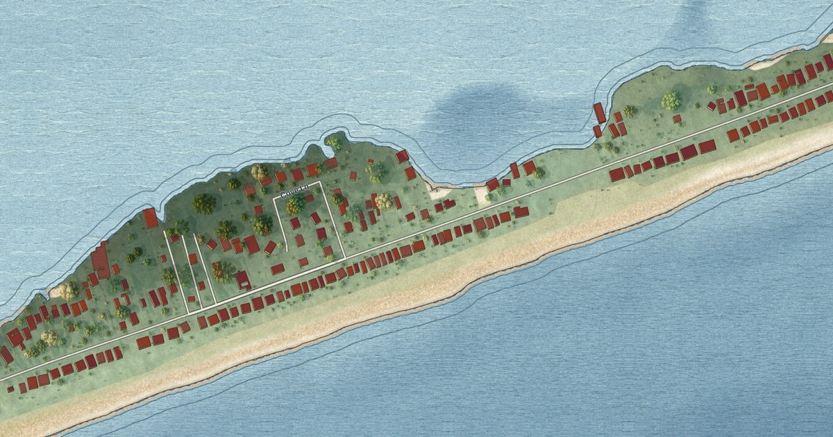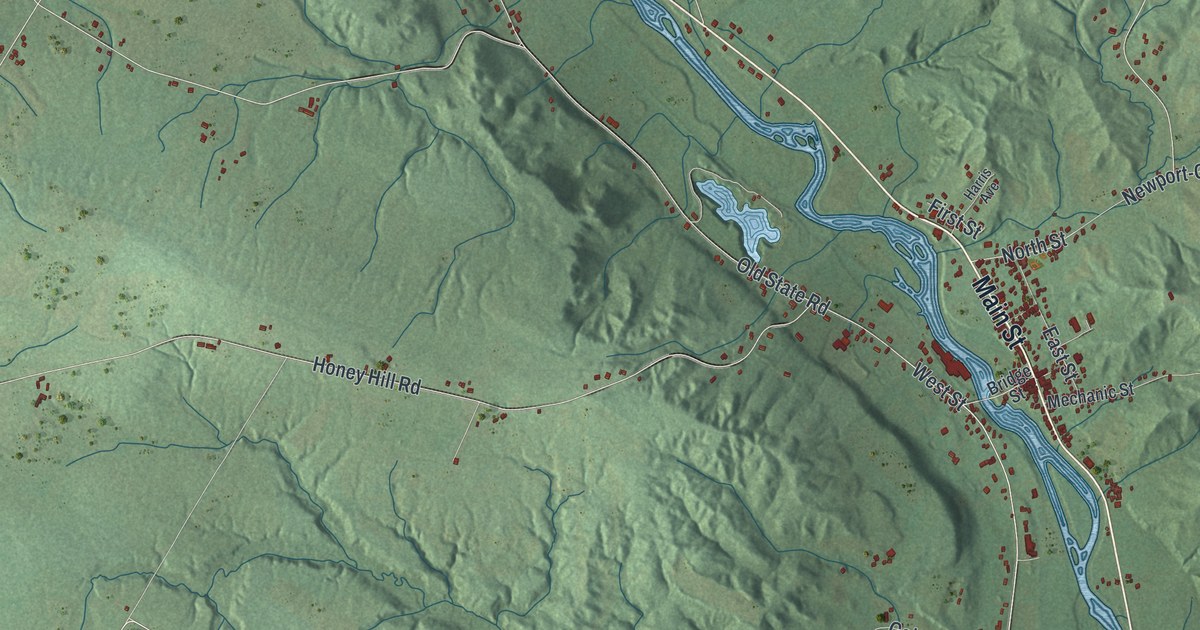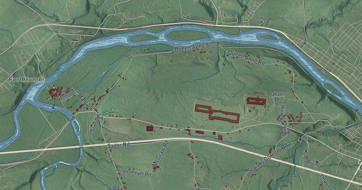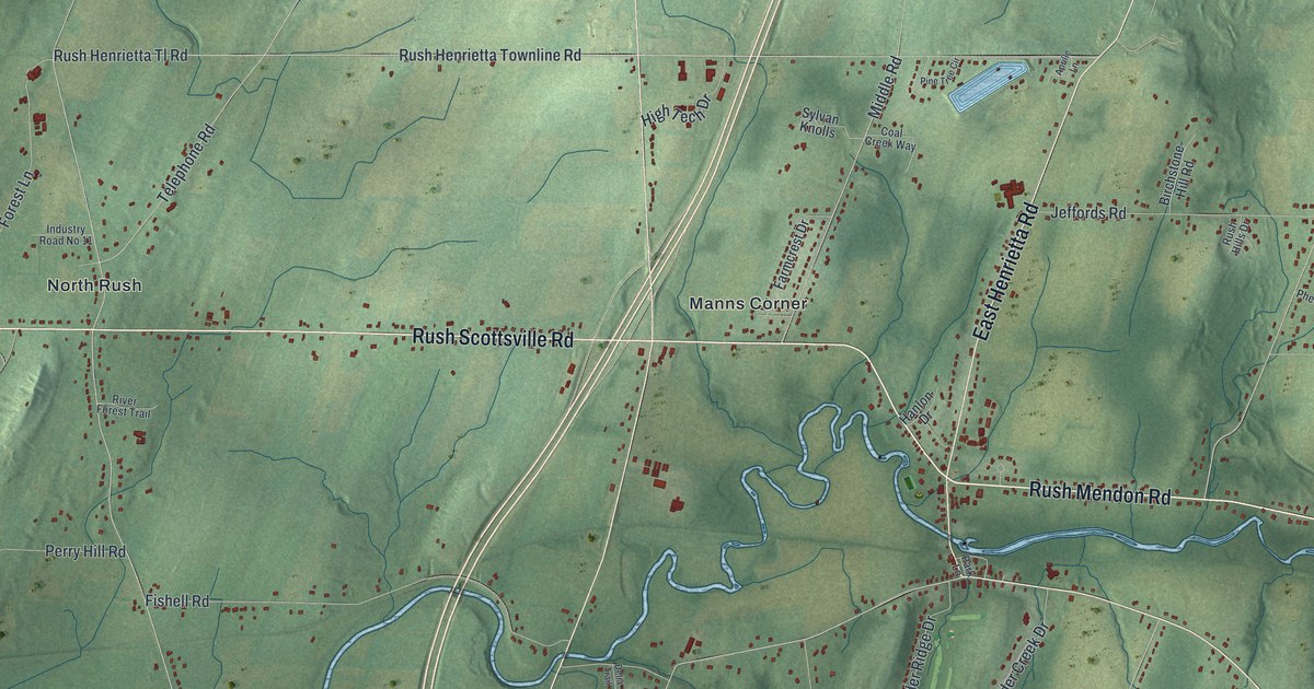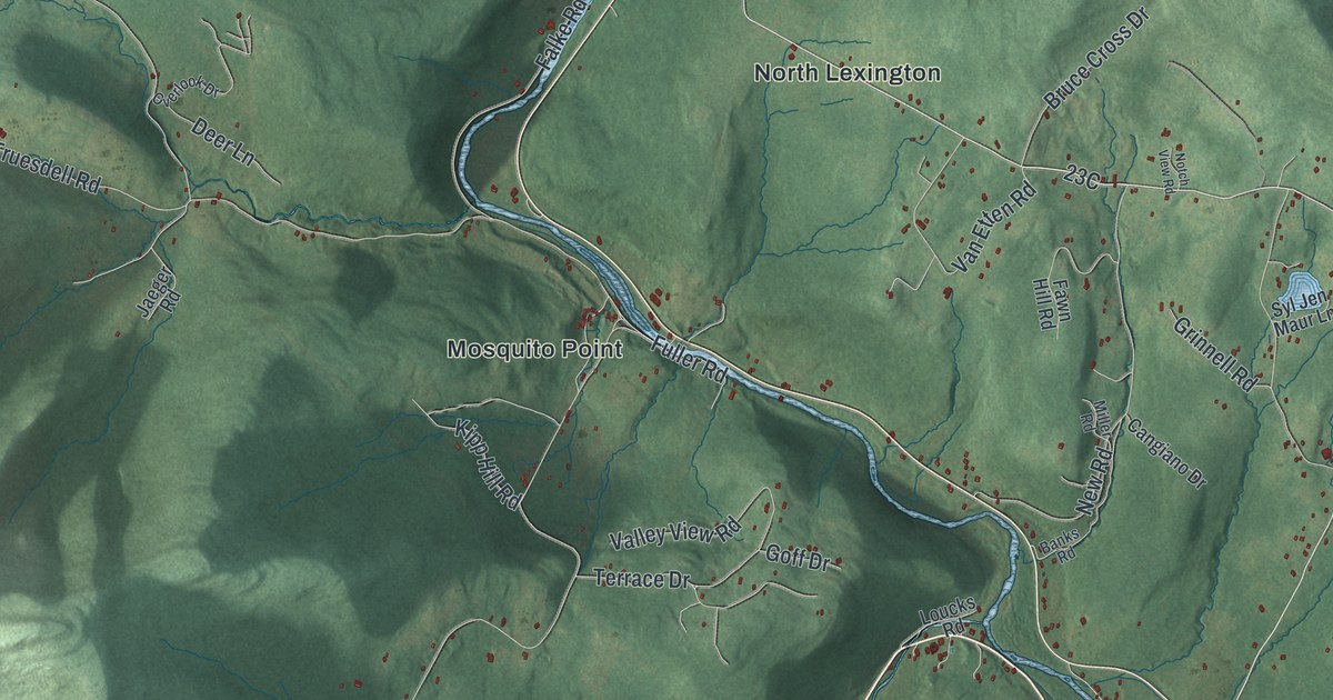
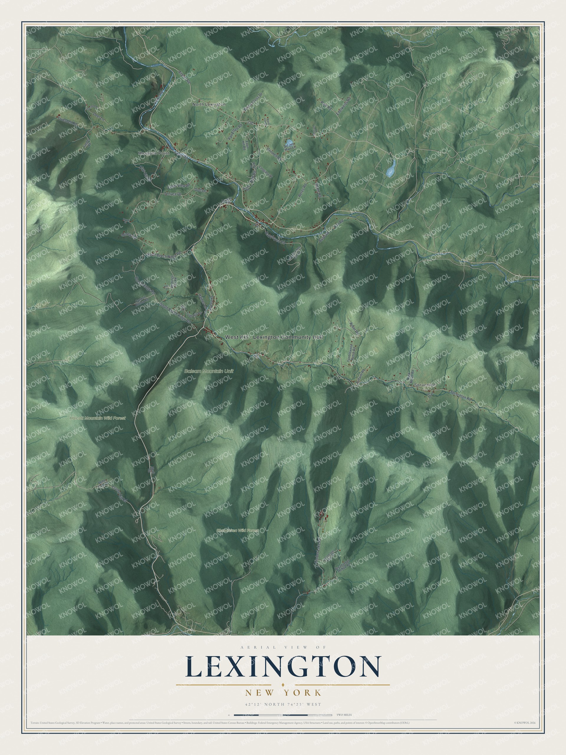
This beautifully detailed map of Lexington, New York was created in 2026 using aerial imagery combined with modern topographical, census, street and landmark data. It’s a one-of-a-kind view of Lexington that combines accurate data with a vintage aesthetic. The map shows every building in its true location, many of the roads carry their names, and the shaded topographic relief shows the shape of the land.
Explore an aerial view of Lexington, New York
On the map you’ll find West Kill – Lexington Community Hall, Mosquito Point, North Lexington, Spruceton, Halcott Mountain Wild Forest, and Shandaken Wild Forest, along with Crump Hill Road, Spruceton Road, Beech Ridge Road, New Road, and more. If you look closely you can even find your house accurately drawn in its correct location. Zoom in on the preview to look for yours.
Did You Know?
In 1976 playwright Oakley Hall III helped found the Lexington Conservatory Theatre at the historic Lexington House. The troupe staged plays there for five years. It then moved to Albany and grew into Capital Repertory Theatre.
Take a closer look at the Lexington map
Names on this map
These names are printed on this map.
Places: West Kill - Lexington Community Hall, Balsam Mountain Unit, Halcott Mountain Wild Forest, Shandaken Wild Forest, Mosquito Point, North Lexington and Spruceton.
Streets and roads: Crump Hill Road, Spruceton Road, North Beech Ridge Road, New Road, Beech Ridge Road, Timber Lake Road, Falke Road, Valley View Road, Van Etten Road, South Beech Ridge Road, Terrace Drive, Park Road.
More street names, A to Z
Ad Van Road, Airport Road, Arbor Road, Auffarth Road, Banks Road, Bonacasa Road, Broadstreet Hollow Road, Brown Street, Bruce Cross Drive, Bush Road, Cangiano Drive, Condon Hollow Road, Deer Lane, Echo Farm Drive, Edelweiss Road, Fawn Hill Road, Fuller Road, Goff Drive, Grinnell Road, Haines Lane, Howard Road, Jaeger Road, Jennings Hill Road, Kelly Drive, Kipp Hill Road, Long Road, Loucks Road, Mark Drive, Miller Road, Minew Road, Morse Road, Mount Eden Est Road, Notch View Road, Overlook Drive, Rappleyea Road, Reme Road, Reres Road, Rusk Mount Road, Shaft Road, Syl Jen Maur Lane, Todd Hill Road, Truesdell Road, Tumbleweed Ranch Road, Van Road, White Eagle Rock Road.
See it on a wall
The Lexington map as a framed print. Swipe for more.


This beautifully detailed map of Lexington makes an attractive addition to your office, library, or den, and it can even be used to teach children the geography and history of the area. It also makes a great gift for someone who left Lexington and still calls it home. When you’re done exploring, click here to get your copy of the Lexington map.