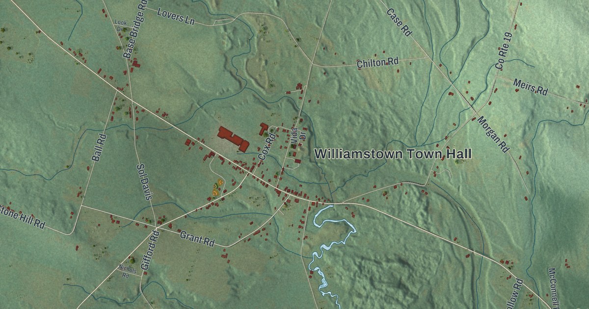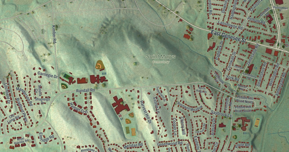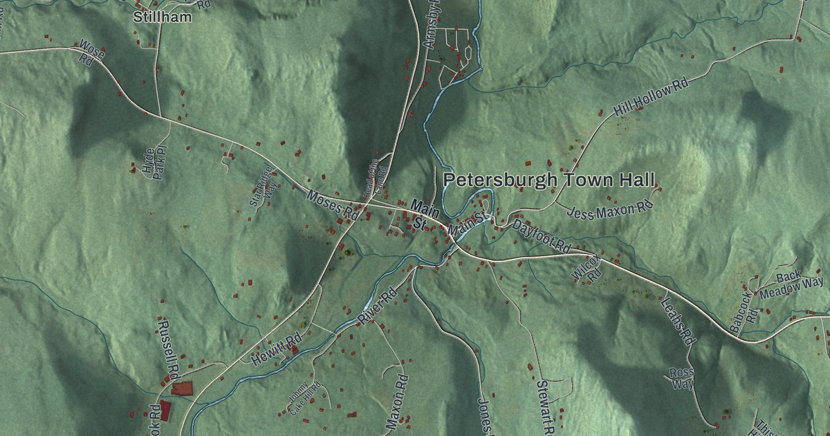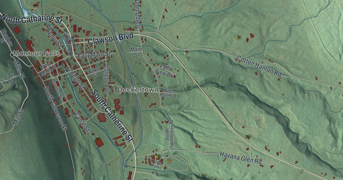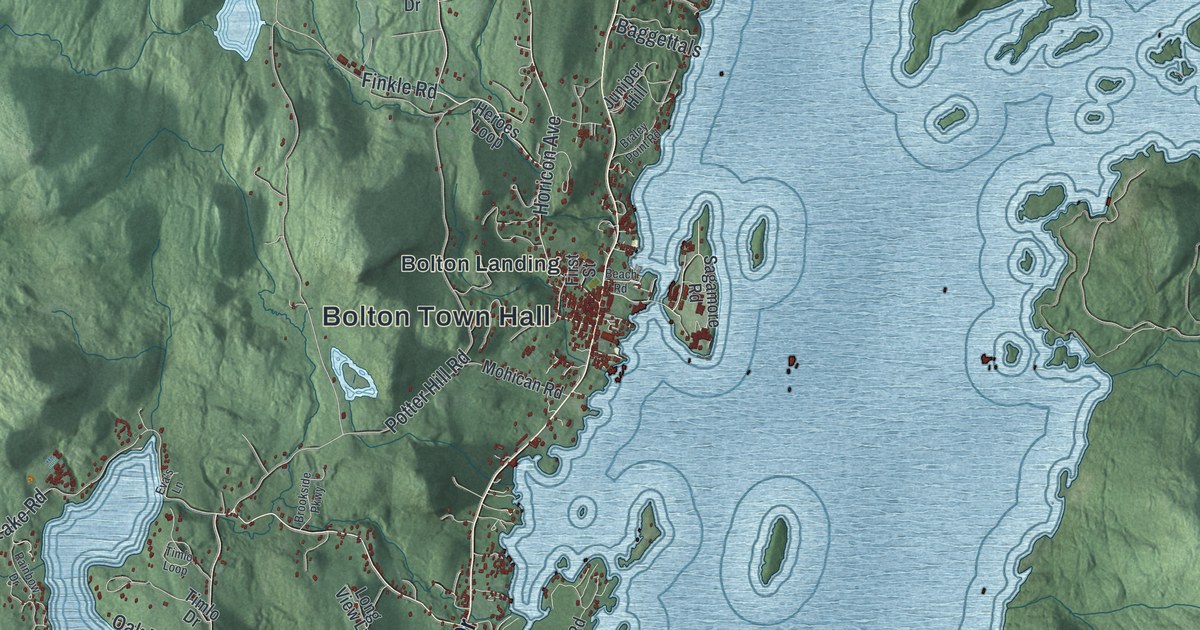
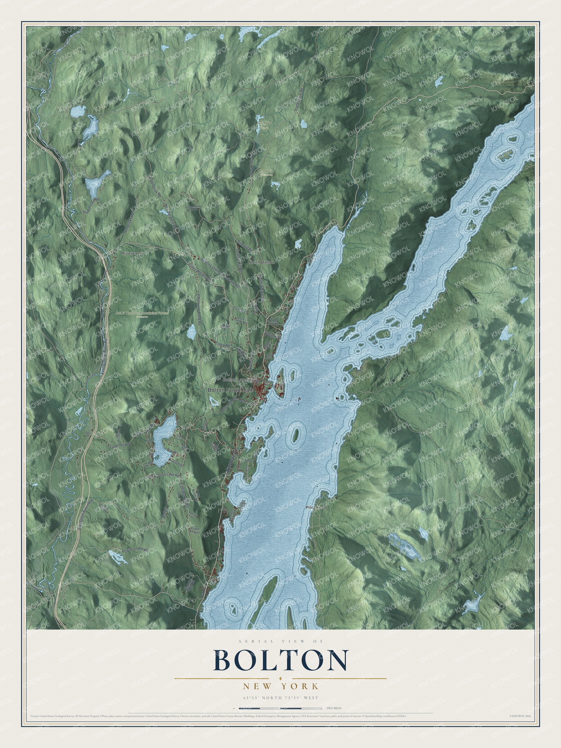
This beautifully detailed map of Bolton, New York was created in 2026 using aerial imagery combined with modern topographical, census, street and landmark data. It’s a one-of-a-kind view of Bolton that combines accurate data with a vintage aesthetic. The map shows every building in its true location, many of the roads carry their names, and the shaded topographic relief shows the shape of the land.
Explore an aerial view of Bolton, New York
On the map you’ll find Bolton Town Hall, Bolton Landing, North Bolton, Pilot Knob, Riverbank, Amy’s Park, Cat & Thomas Mountains Forest Preserve, and Godwin Preserve, along with Lakeshore Drive, Canoe Lane, Padanarum Road, Bolton Landing-Riverbank Road, and more. If you look closely you can even find your house accurately drawn in its correct location. Zoom in on the preview to look for yours.
Did You Know?
Bolton carries the name of Robert Bolton, known as Bob. He moved to the area with his wife, Margaret. The town was carved out of part of the town of Thurman in 1799. Later it gave up land when three new towns were formed in Warren County.
Take a closer look at the Bolton map
Names on this map
These names are printed on this map.
Places: Bolton Town Hall, Amy's Park, Cat & Thomas Mountains Forest Preserve, Godwin Preserve, Bolton Landing, North Bolton, Pilot Knob and Riverbank.
Streets and roads: Lakeshore Drive, Padanarum Road, Bolton Landing-Riverbank Road, Federal Hill Road, Sawmill Road, Trout Lake Road, Coolidge Hill Road, East Schroon River Road, New Vermont Road, Wall Street, Edgecomb Pond Road, Valley Woods Road.
More street names, A to Z
Acorn Drive, Alderbrook Road, Baggettals, Beach Road, Braley Point Road, Brookside Parkway, Canoe Lane, Cherry Lane, Claire View Lane, Cotton Point, County Route 11, Diamond Ridge Road, Dickinson Hill Road, Eva's Lane, Finkle Road, First Street, Fish Point Road, Frank Cameron Road, Hemlock Point Road, Hendricks Road, Heroes Loop, High Meadow Farm Road, Hill Drive, Hi Road, Homer Point Road, Horicon Avenue, Hunter Drive, Juniper Hill, Kajen Drive, Lake Winds Road, Lamb Hill Road, Long View Lane, Mohican Road, North Bolton Road, Oak Place, Opera Lane, Patrick Lane, Potter Hill Road, Rainbow Drive, River Lane, Sagamore Road, Sherman Lake Road, South Farm Road, South Trout Lake Road, Stires Drive, Stone Place Road, The Back Road, Timber Lane Road, Timlo Drive, Timlo Loop, Tlv Road, Tomac Lane, Trout Falls Road, Twin Boulders Drive, Walker Point Lane, Wall Street Extended.
See it on a wall
The Bolton map as a framed print. Swipe for more.


This beautifully detailed map of Bolton makes an attractive addition to your office, library, or den, and it can even be used to teach children the geography and history of the area. It also makes a great gift for someone who left Bolton and still calls it home. When you’re done exploring, click here to get your copy of the Bolton map.