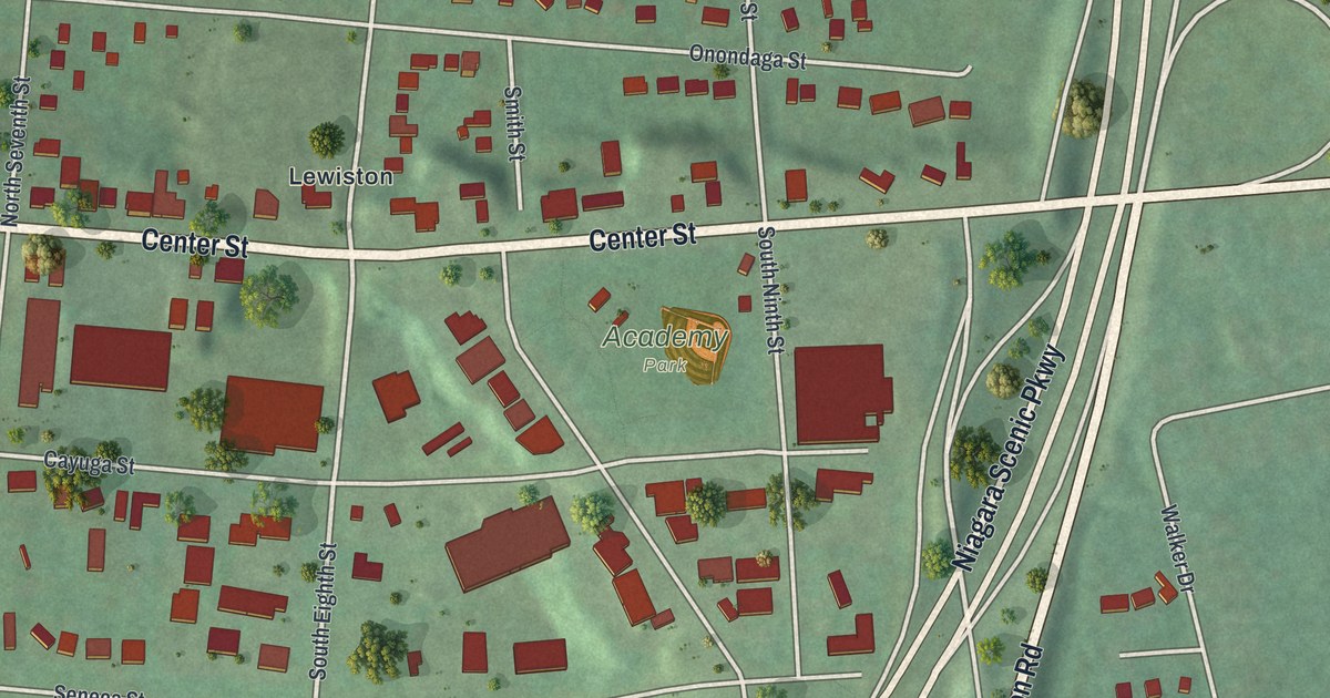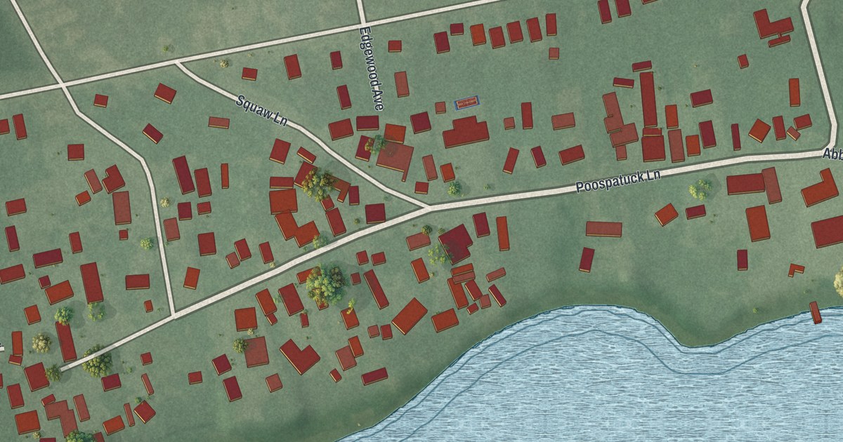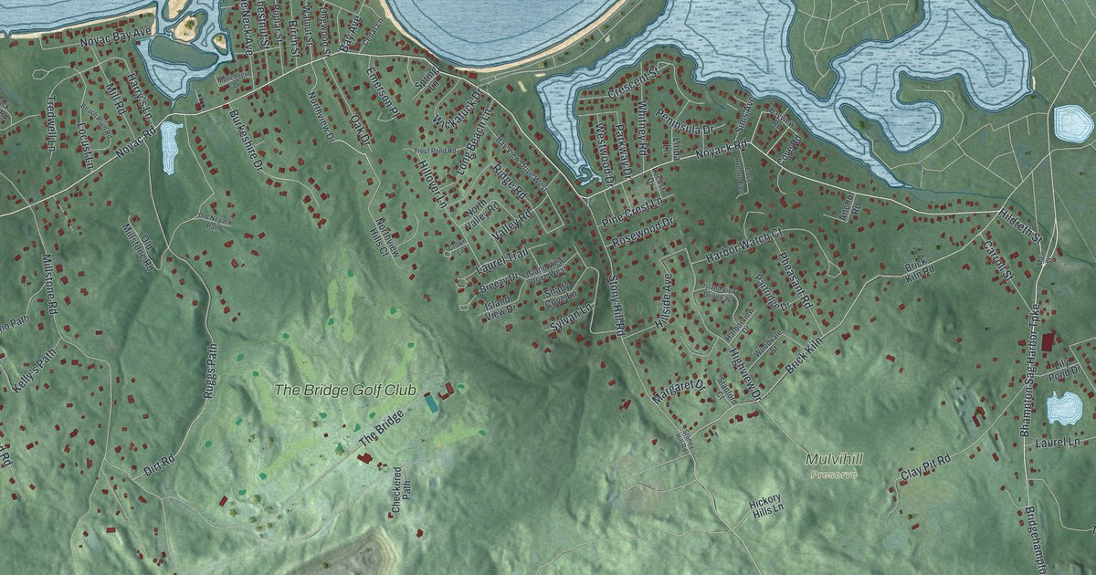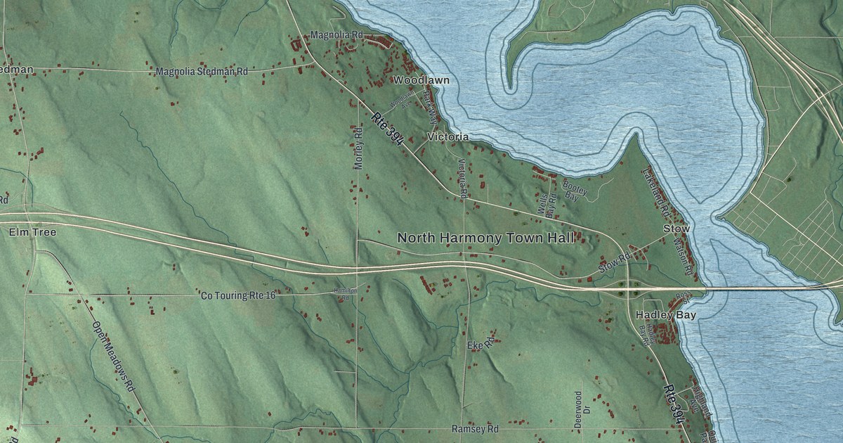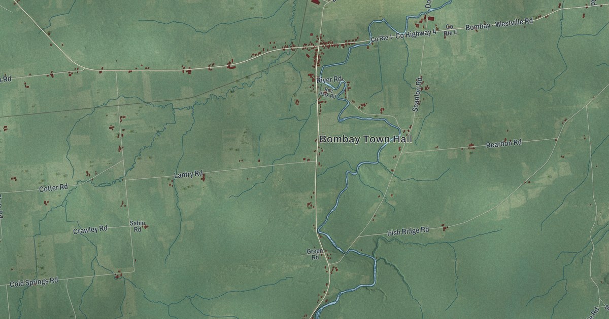
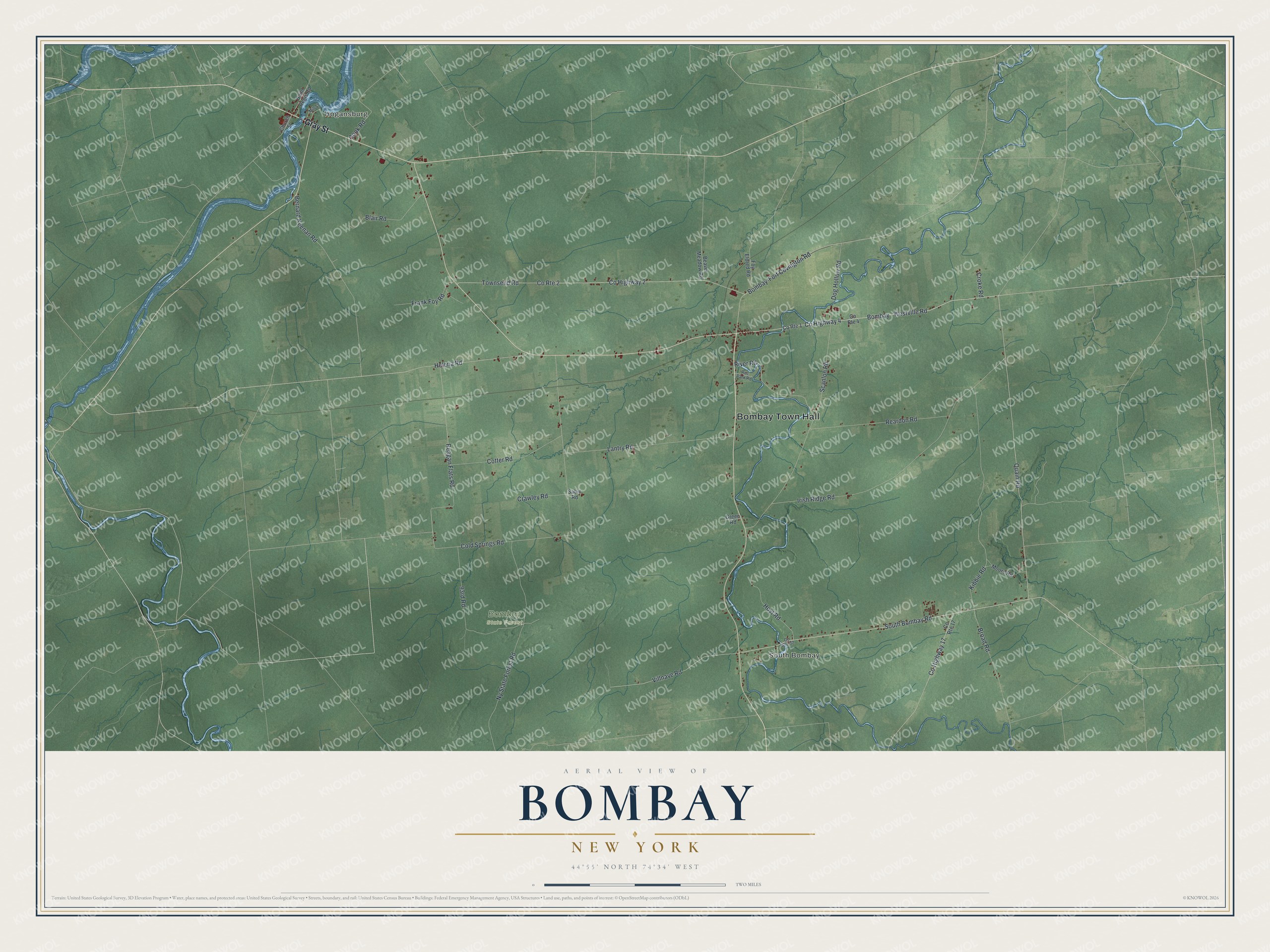
This beautifully detailed map of Bombay, New York was created in 2026 using aerial imagery combined with modern topographical, census, street and landmark data. It’s a one-of-a-kind view of Bombay that combines accurate data with a vintage aesthetic. The map shows every building in its true location, many of the roads carry their names, and the shaded topographic relief shows the shape of the land.
Explore an aerial view of Bombay, New York
On the map you’ll find Bombay Town Hall, Hogansburg, and South Bombay, along with Gray Street, Quain Road, Villnave Road, Bombay Road, and more. If you look closely you can even find your house accurately drawn in its correct location. Zoom in on the preview to look for yours.
Did You Know?
Bombay owes its name to Michael Hogan, an Irish sea captain. He made his fortune in the East India trade. In 1805 he came to America with his wife and bought 20000 acres north of the Adirondacks. He named the town for her birthplace, the port city of Bombay in India.
Take a closer look at the Bombay map
Names on this map
These names are printed on this map.
Places: Bombay Town Hall, Hogansburg, South Bombay and Bombay State Forest.
Streets and roads: Gray Street, Quain Road, County Highway 4, Villnave Road, South Bombay Road, Bombay - Westville Road, Broad Road, Cold Springs Road, Irish Ridge Road, County Highway 2, County Route 2, Townsend Road.
More street names, A to Z
93rd Road, Beaver Meadow Road, Bernard Keenan Road, Blair Road, Bombay-Fort Covington Road, Church Street, Cook Road, Cotter Road, County Highway 17, County Route 1, County Route 4, County Route 17, County Route 32, Crawley Road, Croke Road, Dog Hollow Road, Foy Eldred Road, Frank Foy Road, Green Road, Helena Road, Hoyt Road, Kibbie Road, Lantry Road, Mill Street, Moore Road, Ny State Forest Road, Reagan Flats Road, Reardon Road, Rec Park Road, River Road, Sabin Road, Saint Regis Road, Scanlon Road.
See it on a wall
The Bombay map as a framed print. Swipe for more.


This beautifully detailed map of Bombay makes an attractive addition to your office, library, or den, and it can even be used to teach children the geography and history of the area. It also makes a great gift for someone who left Bombay and still calls it home. When you’re done exploring, click here to get your copy of the Bombay map.