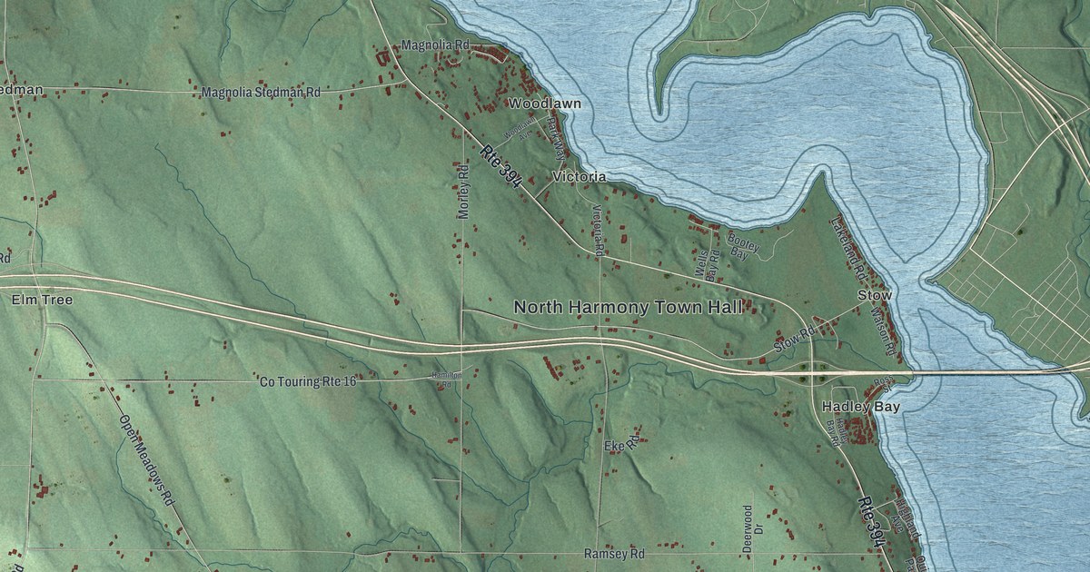
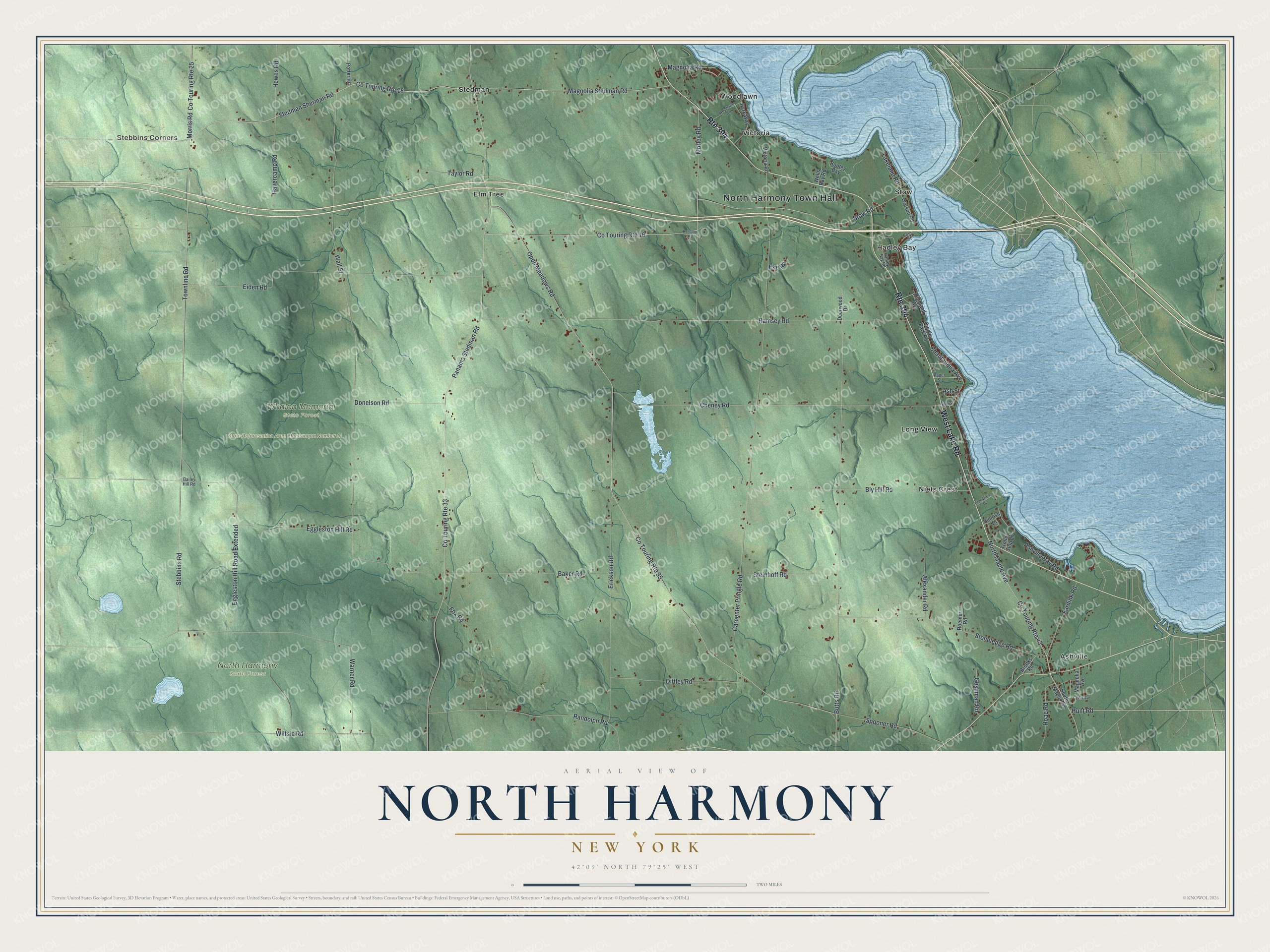
This beautifully detailed map of North Harmony, New York was created in 2026 using aerial imagery combined with modern topographical, census, street and landmark data. It’s a one-of-a-kind view of North Harmony that combines accurate data with a vintage aesthetic. The map shows every building in its true location, many of the roads carry their names, and the shaded topographic relief shows the shape of the land.
Explore an aerial view of North Harmony, New York
On the map you’ll find North Harmony Town Hall, Ashville, Stebbins Corners, Elm Tree, Hadley Bay, Long View, and Whalen Memorial State Forest, along with Lake Road, Stedman Sherman Road, Hunt Road, Stebbins Road, and more. If you look closely you can even find your house accurately drawn in its correct location. Zoom in on the preview to look for yours.
Take a closer look at the North Harmony map
Names on this map
These names are printed on this map.
Places: North Harmony Town Hall, Ashville, Stebbins Corners, North Harmony State Forest, State Reforestation Area Chautauqua Number 11, Whalen Memorial State Forest, Elm Tree, Hadley Bay, Long View, Niets Crest, Stedman, Stow, Victoria and Woodlawn.
Streets and roads: Route 394, West Lake Road, Stedman Sherman Road, Hunt Road, Stebbins Road, Townline Road, Magnolia Stedman Road, Co Touring Route 16, Butts Road, Chautauqua Avenue, Co Touring Route 33, Co Touring Route 35.
More street names, A to Z
Alexander Road, Ash Street, Ashville Bay Road, Bailey Hill Road, Baker Road, Bly Hill Road, Bootey Bay, Brooks Road, Carpenter Pringle Road, Cedar Avenue, Cheney Road, Co Touring Route 18, Co Touring Route 25, Co Touring Route 43, Deerwood Drive, Diffley Road, Donelson Road, Eggleston Hill Road, Eggleston Hill Road Extended, Eiden Road, Eke Road, Elm Street, Erickson Road, Fardink Road, Fox Road, Gesaman Road, Grandview Drive, Hadley Bay Road, Hamilton Road, Havercamp Road, Hewes Road, Highland Avenue, Hoag Road, Lakeland Road, Magnolia Avenue, Magnolia Road, Morley Road, Morris Road, North Maple Avenue, Open Meadows Road, Panama Stedman Road, Paper Street, Park Way, Potter Road, Quigley Park Road, Ramsey Road, Randolph Road, Roemer Road, Ross Street, South Maple Avenue, Spooner Road, Steinhoff Road, Stoneledge Road, Stow Road, Sunrise Drive, Taylor Road, Trolley Stop Lane, Victoria Road, Wall Street, Warner Road, Watson Road, Wells Bay Road, Wiltsie Road, Woodlawn Avenue.
See it on a wall
The North Harmony map as a framed print. Swipe for more.


This beautifully detailed map of North Harmony makes an attractive addition to your office, library, or den, and it can even be used to teach children the geography and history of the area. It also makes a great gift for anyone with North Harmony roots. When you’re done exploring, click here to get your copy of the North Harmony map.