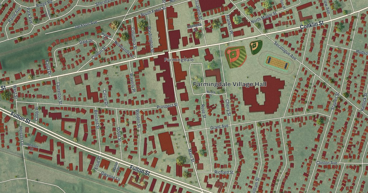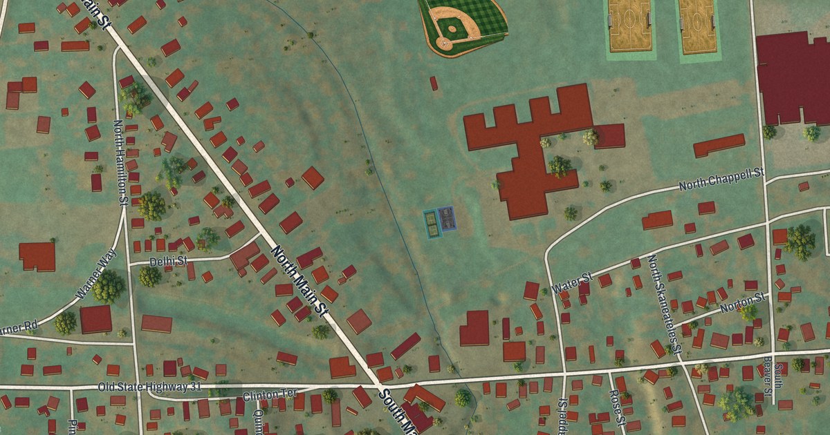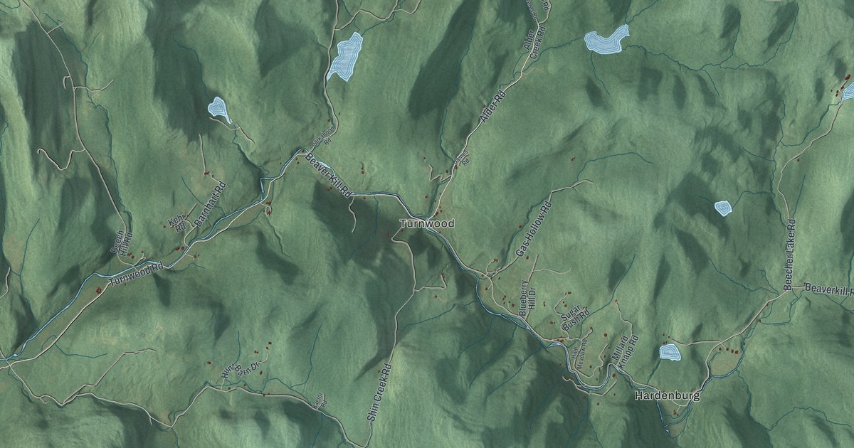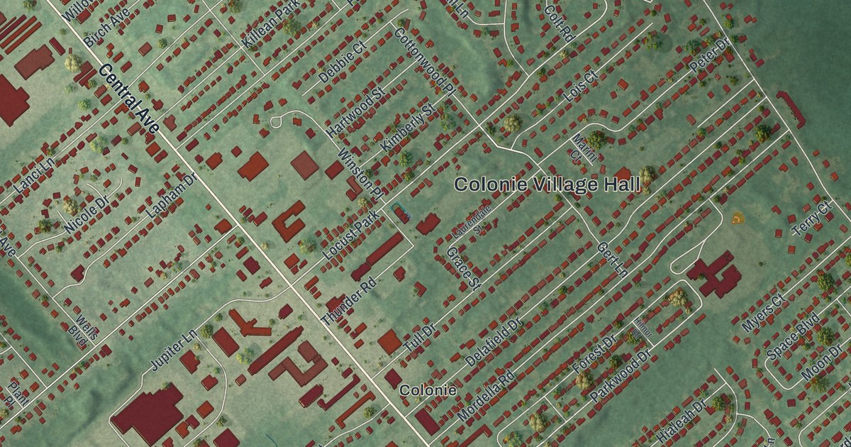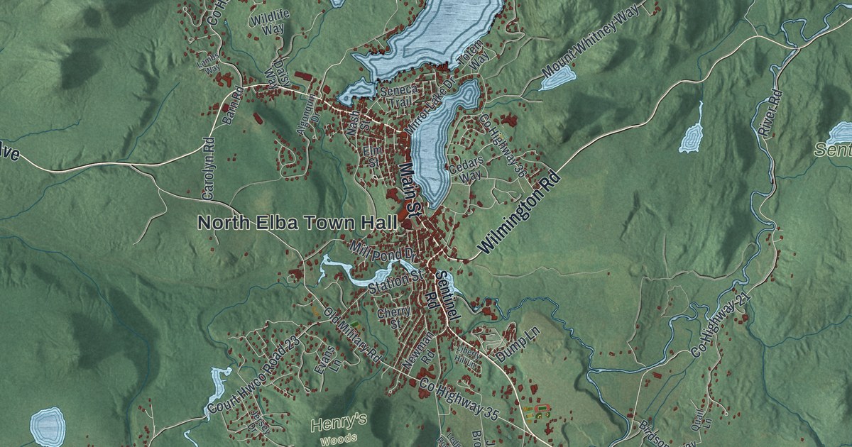
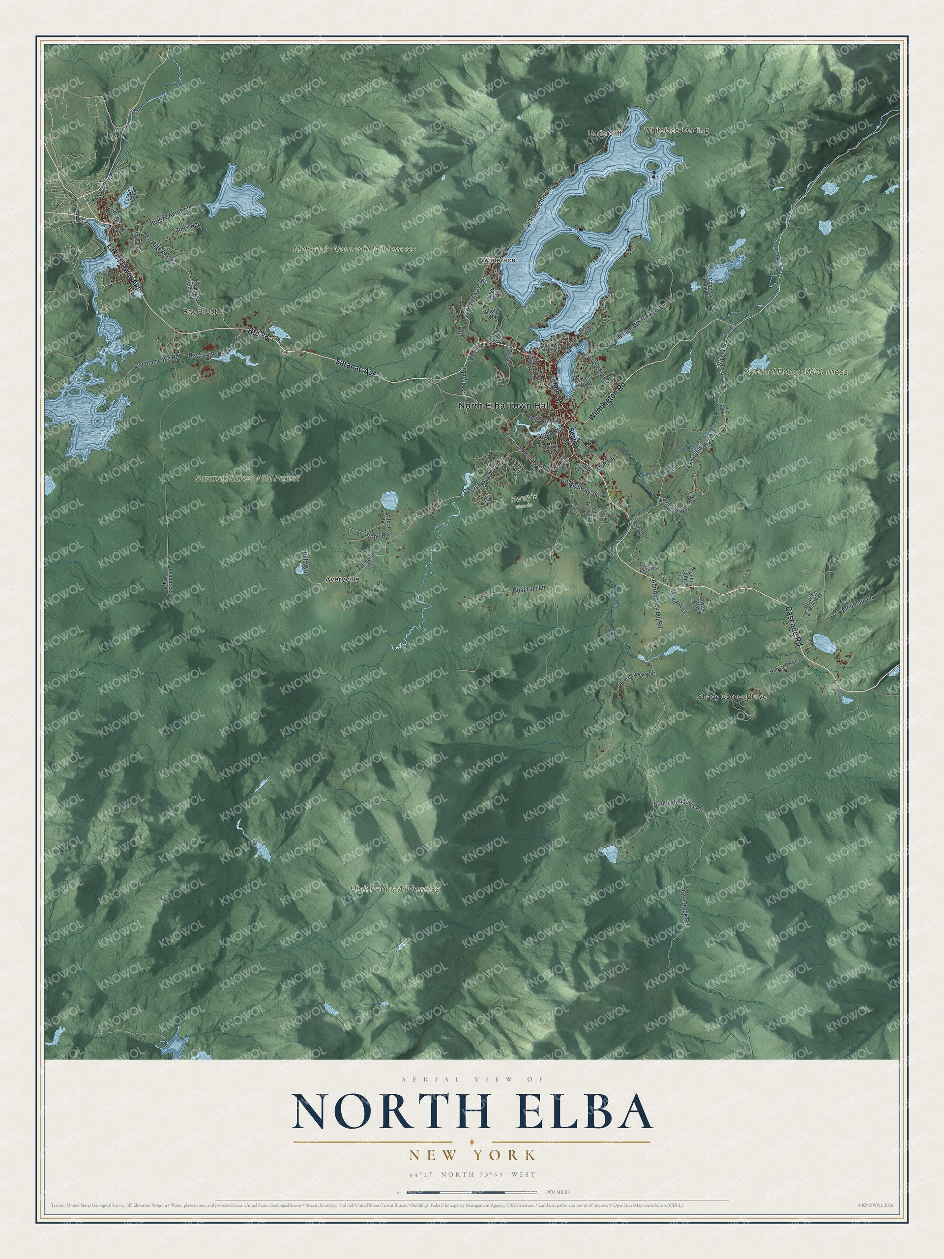
This beautifully detailed map of North Elba, New York was created in 2026 using aerial imagery combined with modern topographical, census, street and landmark data. It’s a one-of-a-kind view of North Elba that combines accurate data with a vintage aesthetic. The map shows every building in its true location, many of the roads carry their names, and the shaded topographic relief shows the shape of the land.
Explore an aerial view of North Elba, New York
On the map you’ll find North Elba Town Hall, Whiteface Landing, Undercliff, Ray Brook, Whiteface, Averyville, and Saranac Lakes Wild Forest, along with Saranac Avenue, Main Street, Cascade Road, Lake Flower Avenue, and more. If you look closely you can even find your house accurately drawn in its correct location. Zoom in on the preview to look for yours.
Did You Know?
Abolitionist John Brown came to North Elba in 1849. He was drawn by Gerrit Smith, who was trying to settle free Black families on land here. The rocky ground proved poor for family farms. In 1859 Brown set out from his farm here on his raid at Harpers Ferry.
Take a closer look at the North Elba map
Names on this map
These names are printed on this map.
Places: North Elba Town Hall, Whiteface Landing, Undercliff, Ray Brook, Whiteface, Henry's Woods, High Peaks Wilderness, McKenzie Mountain Wilderness, Saranac Lakes Wild Forest, Sentinel Range Wilderness, Averyville and Shady Corner Curve.
Streets and roads: Saranac Avenue, Main Street, Cascade Road, Lake Flower Avenue, Wilmington Road, Route 86, Pine Street, Adirondack Loj Road, State Truck Road, Court Hwco Road 23, Whiteface Inn Lane, County Highway 21.
More street names, A to Z
Alford Lane, Algonquin Drive, Averyville Lane, Balanced Rock Way, Barn Road, Bear Cub Lane, Bills Way, Birdsong Way, Bobsled Run Lane, Boulderwood Way, Breezy Acres Lane, Carolyn Road, Cedars Way, Cherry Street, Connery Pond Road, Country Club Lane, County Highway 31, County Highway 32, County Highway 33, County Highway 35, County Highway 36, Coyote Way, Daisy Way, Dump Lane, Elm Street, Evans Lane, Forest Hill Avenue, Grouse Creek Way, Jersey Drive, John Brown Road, Lambs Way, Last Chance Way, Ledge Rock Lane, Liberty Hill Lane, Lodge Way, Marina Way, McKenzie Pond Road, Meadow Lane, Mill Pond Drive, Mirror Lake Drive, Mountain Lane, Mount Whitney Way, Nash Street, Newman Road, Old Military Road, Oseetah Lake Road, Payeville Lane, Pendercast Way, Pontiac Street, Quail Lane, Raspberry Way, Ray Brook Road, River Road, Seneca Trail, Sentinel Road, South Meadows Road, Station Street, Stone Road, Tadds Way, Totem Way, Wildlife Way.
See it on a wall
The North Elba map as a framed print. Swipe for more.


This beautifully detailed map of North Elba makes an attractive addition to your office, library, or den, and it can even be used to teach children the geography and history of the area. It also makes a great gift for anyone with North Elba roots. When you’re done exploring, click here to get your copy of the North Elba map.