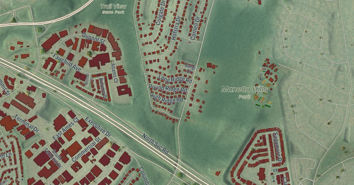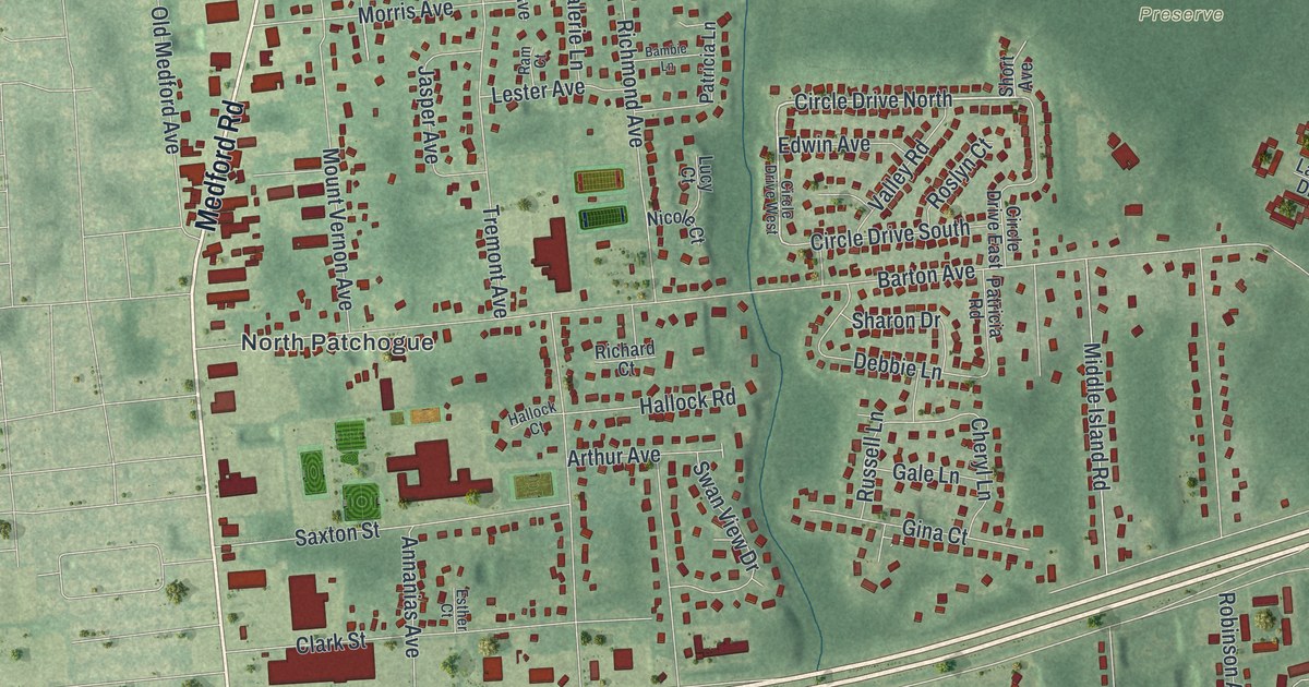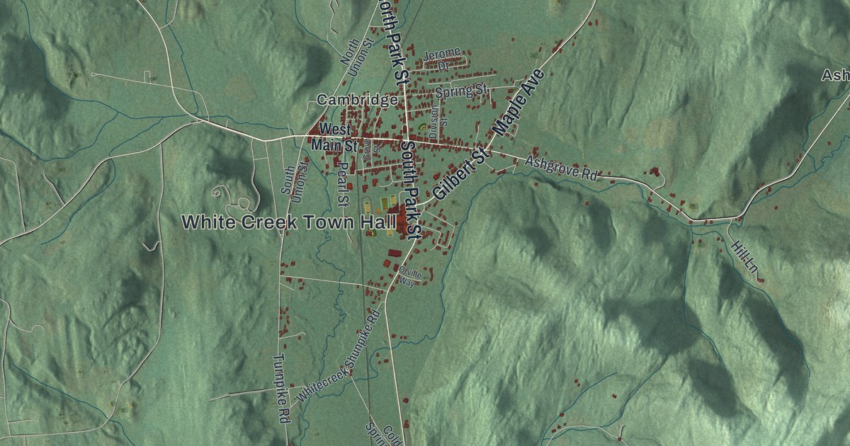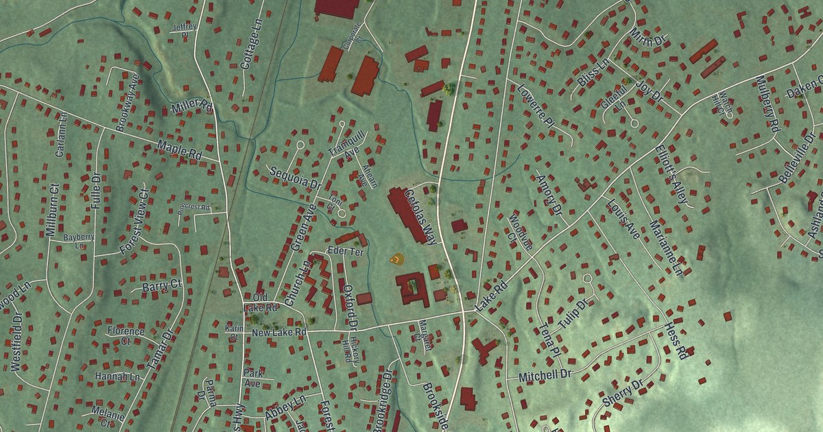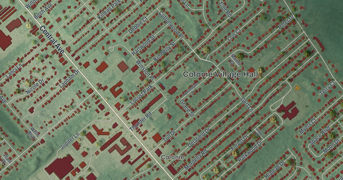
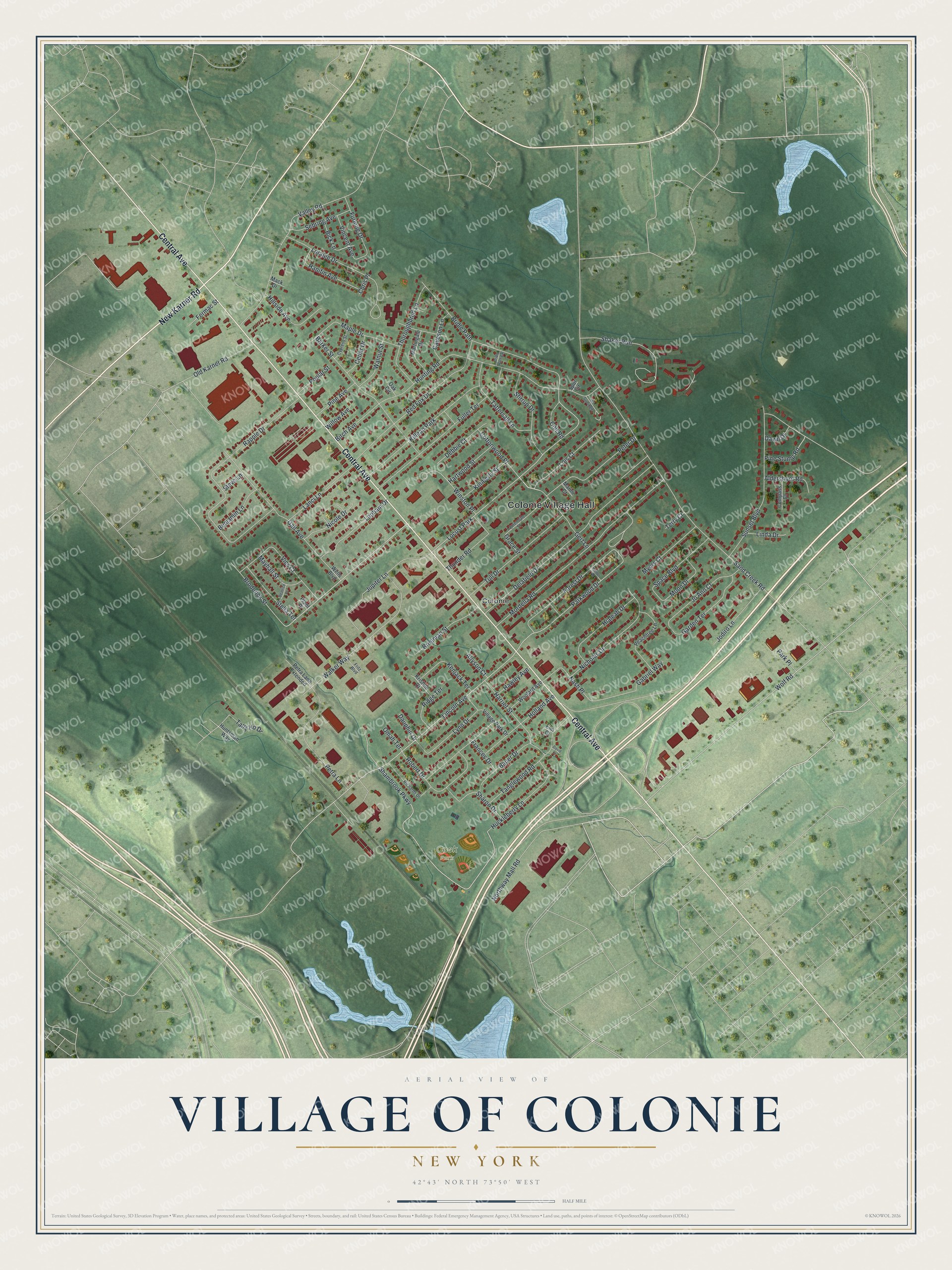
This beautifully detailed map of the Village of Colonie, New York was created in 2026 using aerial imagery combined with modern topographical, census, street and landmark data. It’s a one-of-a-kind view of the Village of Colonie that combines accurate data with a vintage aesthetic. The map shows every building in its true location, many of the roads carry their names, and the shaded topographic relief shows the shape of the land.
Explore an aerial view of the Village of Colonie, New York
On the map you’ll find Colonie Village Hall and Cook Park, along with Central Avenue, New Karner Road, Northway Mall Road, Shambrook Parkway, and more. If you look closely you can even find your house accurately drawn in its correct location. Zoom in on the preview to look for yours.
Take a closer look at the Village of Colonie map
Names on this map
These names are printed on this map.
Places: Colonie Village Hall, Cook Park, Colonie, Locust Park and Killean Park.
Streets and roads: Central Avenue, New Karner Road, Northway Mall Road, Shambrook Parkway, Lincoln Avenue, Parkwood Drive, Sand Creek Road, Sunset Boulevard, Rapple Drive, Hunting Road, Broderick Street, Wolf Road.
More street names, A to Z
Aldershoot Road, Allyson Court, Barker Street, Bauer Drive, Beatrice Lane, Benjamin Lane, Bick Lane, Birch Avenue, Breeman Street, Bridle Path, Bridle Path Extension, Caveson Lane, Cedar Drive, Chris Place, Colt Road, Compass Court, Cottonwood Place, Cypress Street, Dauphin Drive, David Court, Dawn Drive, Debbie Court, Delafield Drive, Elm Court, Fermac Street, Forest Drive, Frances Drive, Fritz Boulevard, Fuller Terrace, Furlong Drive, Gabriel Way, Gail Avenue, Garden Terrace, Gert Lane, Grace Street, Hanifin Avenue, Harriet Street, Hartwood Street, Hawley Avenue, Hialeah Drive, Hillside Avenue, Hilmor Road, Holland Avenue, Huckleberry Lane, Huntsman Way, Jo Ann Court, Jodiro Lane, Jupiter Lane, Kenjack Terrace, Kimberly Street, Kristole Court, Lanci Lane, Lapham Drive, Laurendale Street, Linda Drive, Lois Court, Loralee Drive, Lynn Drive, Mack Drive, Maple Drive, Marini Court, Martingale Drive, Mayhall Street, Moon Drive, Mordella Road, Myers Court, Nash Place, Nicholas Drive, Nicole Drive, Oak Circle, Old Karner Road, Omah Terrace, Park Place, Peachtree Lane, Peter Drive, Petra Lane, Petra Lane Extended, Pine Avenue, Pine Stump Road, Plant Place, Poplar Street, Red Fox Drive, Richards Drive, Ridge Terrace, Robert Drive, Sebring Avenue, Shaker Run, Sharon Drive, Space Boulevard, Spur Circle, Stella Terrace, Steve Lane, Stirrup Drive, Tally Ho Drive, Tanglewood Road, Tattersall Lane, Terry Court, The Surcingle, Thoroughbred Lane, Thunder Road, Tull Drive, Valley Road, Vics Court, Village Park Drive, Vincent Avenue, Walker Way, Walnut Street, Wells Boulevard, Willow Avenue, Winston Place, Woolard Avenue.
See it on a wall
The Colonie map as a framed print. Swipe for more.


This beautifully detailed map of the Village of Colonie makes an attractive addition to your office, library, or den, and it can even be used to teach children the geography and history of the area. It also makes a great gift for someone who left the Village of Colonie and still calls it home. When you’re done exploring, click here to get your copy of the Village of Colonie map.