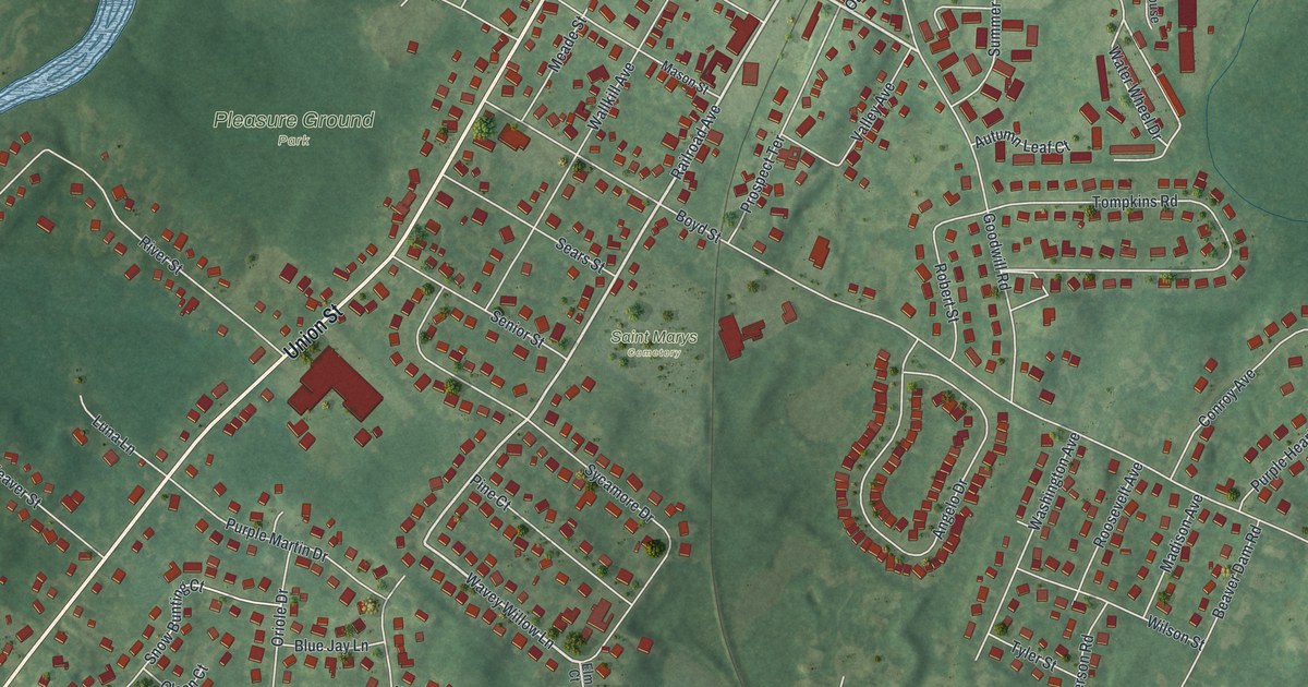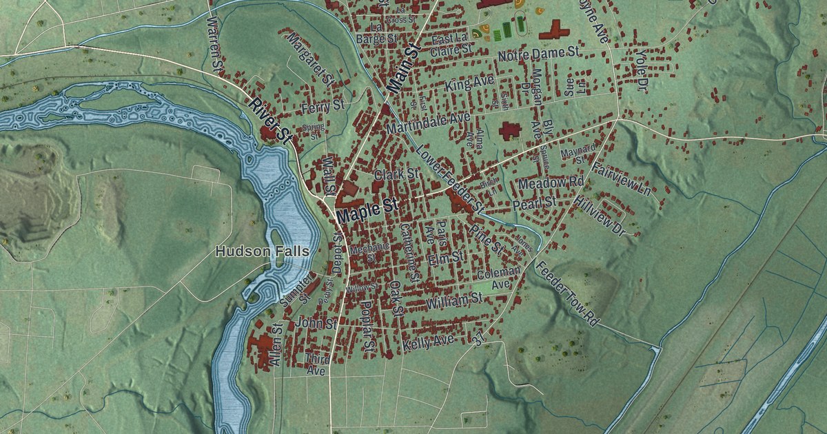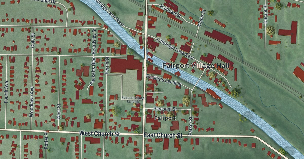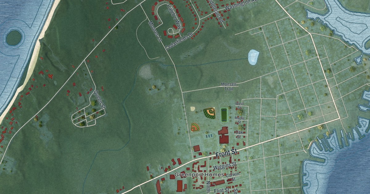
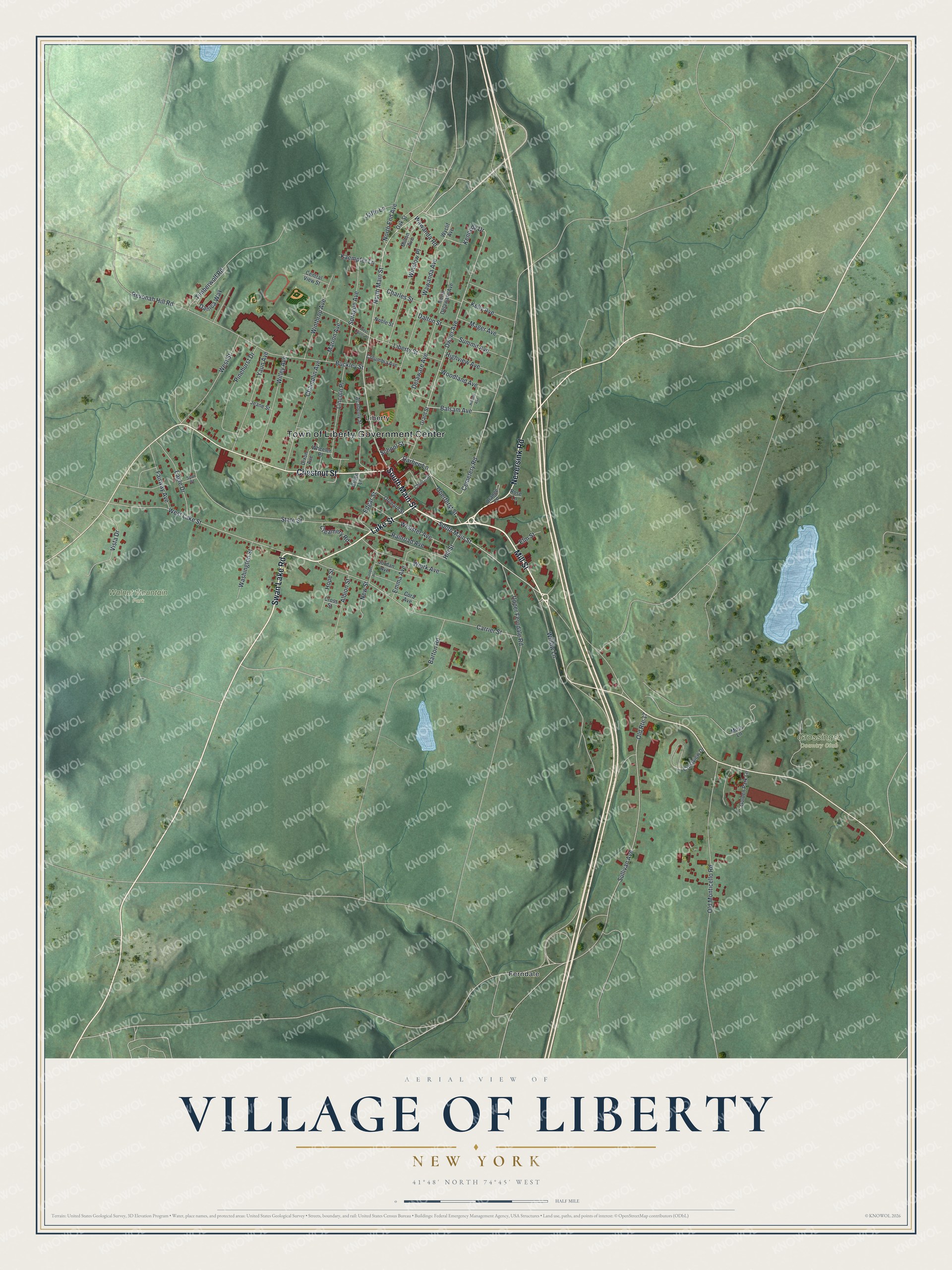
This beautifully detailed map of the Village of Liberty, New York was created in 2026 using aerial imagery combined with modern topographical, census, street and landmark data. It’s a one-of-a-kind view of the Village of Liberty that combines accurate data with a vintage aesthetic. The map shows every building in its true location, many of the roads carry their names, and the shaded topographic relief shows the shape of the land.
Explore an aerial view of the Village of Liberty, New York
On the map you’ll find Ferndale and Walnut Mountain Park, along with Mill Street, Main Street, Swan Lake Road, Neversink Road, Chestnut Street, and more. If you look closely you can even find your house accurately drawn in its correct location. Zoom in on the preview to look for yours.
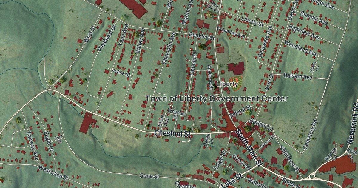
Take a closer look at the Village of Liberty map
Names on this map
These names are printed on this map.
Places: Town of Liberty Government Center, Grossinger Country Club, Walnut Mountain Park, Ferndale and Liberty.
Streets and roads: Mill Street, South Main Street, Swan Lake Road, Neversink Road, Chestnut Street, Lake Street, Darbee Lane, North Main Street, Cemetery Road, Balsam Avenue, Dwyer Avenue, Kennedy Drive.
More street names, A to Z
Academy Street, Albion Street, Barton Road, Buckley Street, Carrier Street, Central View Street, Champlin Avenue, Charles Street, Church Street, Columbia Avenue, Cooper Avenue, Cora Avenue, Creamery Road, Crestview Drive, Cross Street, Dalton Street, Danica Way, Delaware Avenue, Dixon Avenue, Eagle Drive, Edgar Street, Elm Street, Emma Avenue, Fairway Avenue, Golden Park Lane, Grant Street, Green Lane, Highview Avenue, Hillside Avenue, Hill Street, Hope Street, Jaffe Lane, Jeane Street, Jordan Avenue, Kaempfer Lane, Kelly Avenue, Liberty Street, Lincoln Place, Mager Avenue, Marion Avenue, Milton Avenue, Muss Lane, New Street, Noble Street, North Delaware Avenue, North End Avenue, Oak Street, Oberferst Street, Old Monticello Road, Old Route 17, Orange Lane, Orchard Street, Pinehurst Drive, Railroad Avenue, Revonah Hill Road, Rose Lane, School Street, Sprague Avenue, Spur Street, State Street, Sullivan Avenue, Summit Avenue, Timberwolf Road, Upper Ferndale Road, Vista Drive, Washington Street, Wawanda Avenue, Wawanda Road, Webster Avenue, Weirk Avenue, West Lake Street, West Liberty Street, West Street, Wheeler Place, Willey Avenue, Willow Lane, Winslow Place, Winthrop Avenue, Woodland Avenue, Wyclif Avenue, Yaun Avenue.
See it on a wall
The Liberty map as a framed print. Swipe for more.


This beautifully detailed map of the Village of Liberty makes an attractive addition to your office, library, or den, and it can even be used to teach children the geography and history of the area. It also makes a great gift for anyone who grew up in the Village of Liberty or moved away. When you’re done exploring, click here to get your copy of the Village of Liberty map.