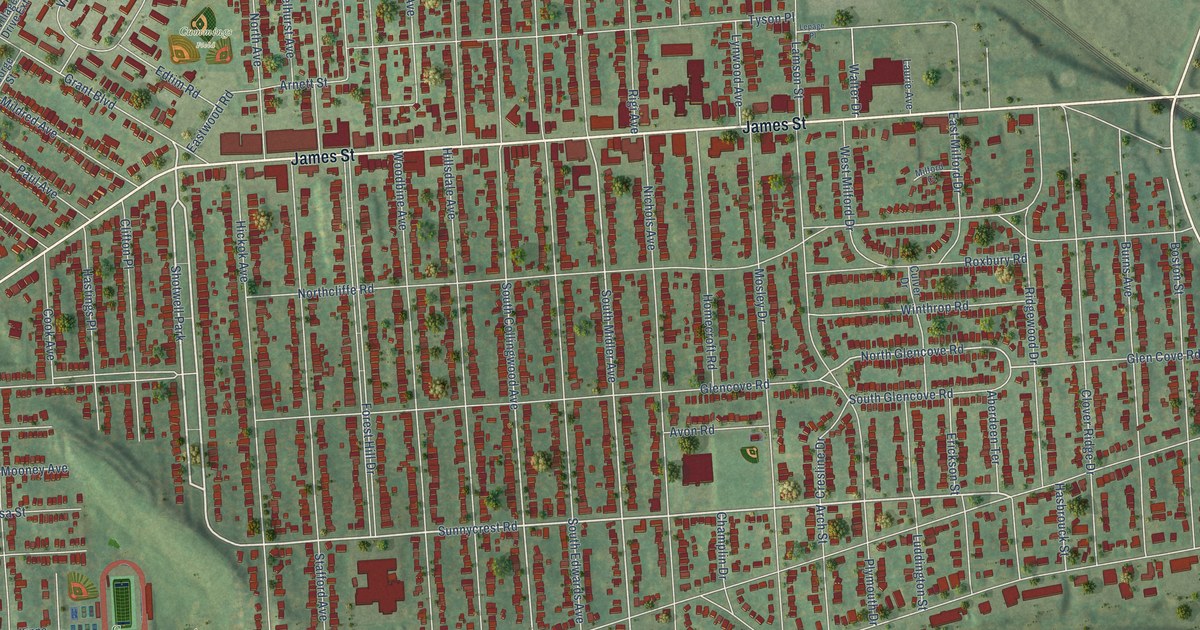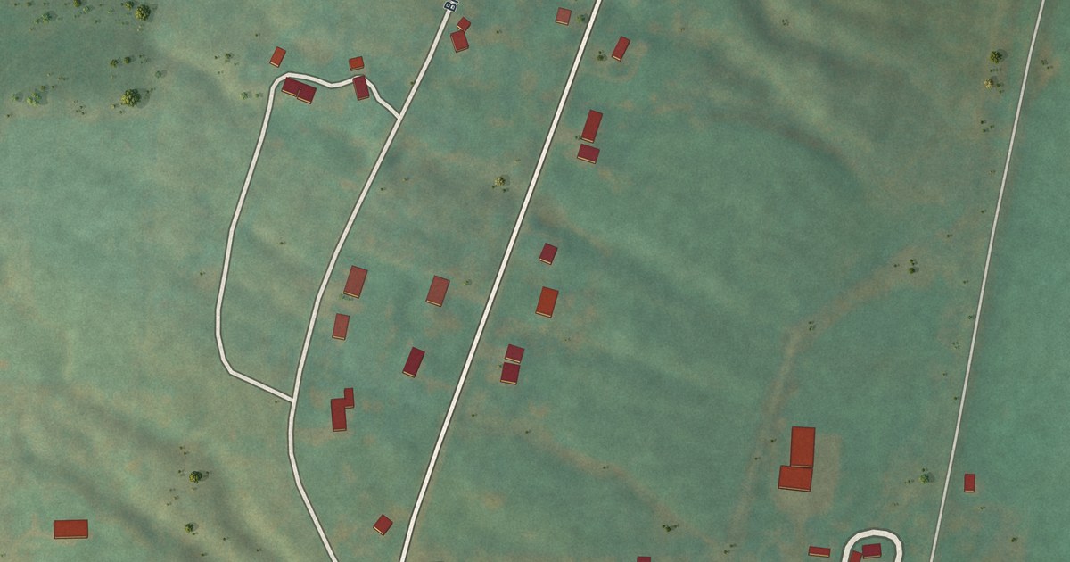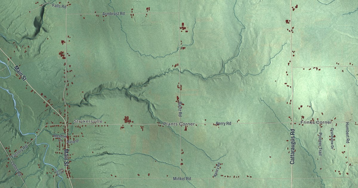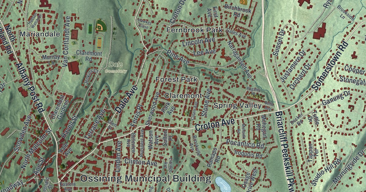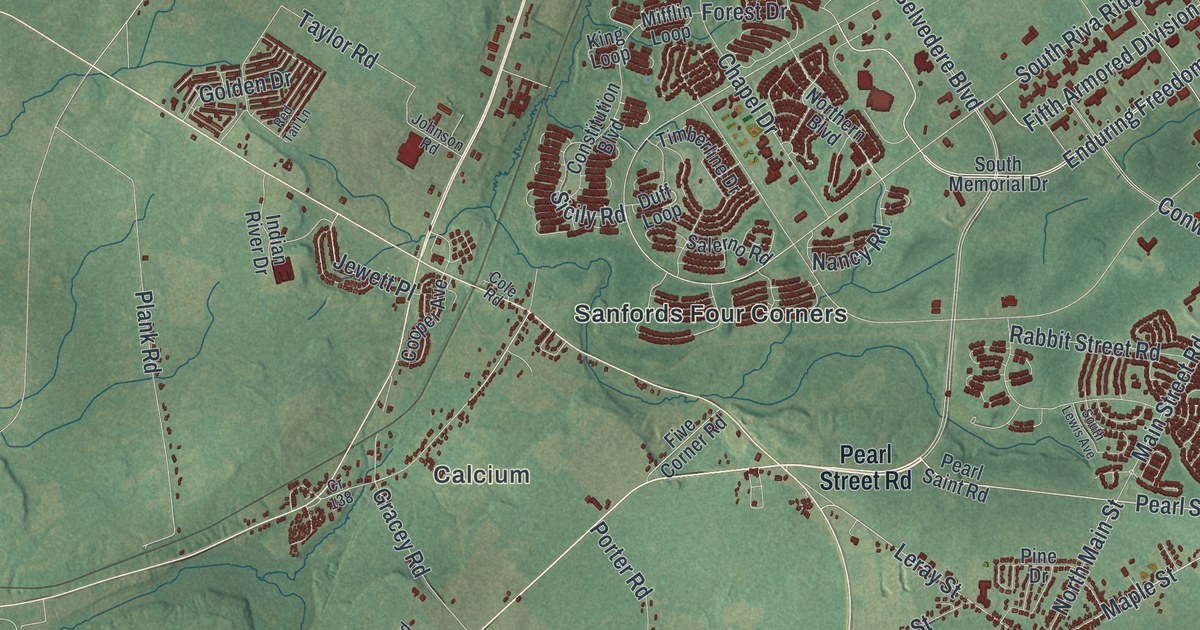
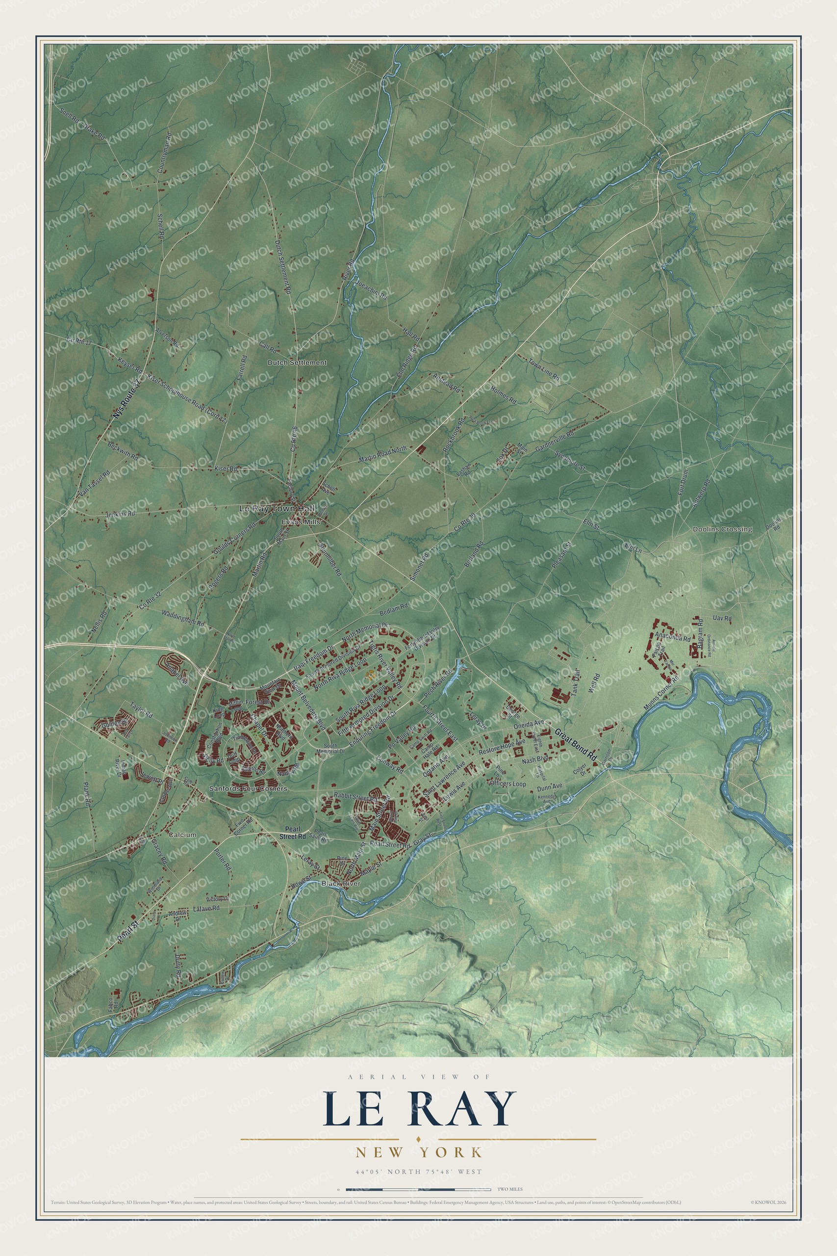
This beautifully detailed map of Le Ray, New York was created in 2026 using aerial imagery combined with modern topographical, census, street and landmark data. It’s a one-of-a-kind view of Le Ray that combines accurate data with a vintage aesthetic. The map shows every building in its true location, many of the roads carry their names, and the shaded topographic relief shows the shape of the land.
Explore an aerial view of Le Ray, New York
On the map you’ll find Le Ray Town Hall, Calcium, Doolins Crossing, Black River, Dutch Settlement, Evans Mills, Sanfords Four Corners, and Fort Drum, along with Pearl Street, Great Bend Road, Nys Route 37, Martin Road North, and more. If you look closely you can even find your house accurately drawn in its correct location. Zoom in on the preview to look for yours.
Did You Know?
The town honors Jacques-Donatien Le Ray de Chaumont, a French count. He was called a French father of the American Revolution. Settlers arrived around 1802. Today Fort Drum covers the eastern half of the town, and many old settlements were abandoned when the post was formed.
Take a closer look at the Le Ray map
Names on this map
These names are printed on this map.
Places: Le Ray Town Hall, Calcium, Doolins Crossing, Black River, Dutch Settlement, Evans Mills and Sanfords Four Corners.
Streets and roads: Pearl Street, Great Bend Road, Nys Route 37, Fort Drum, Martin Road North, North Main Street, Maple Street, Pearl Street Road, Dutch Settlement Road, Iraqi Freedom Drive, North Memorial Drive, Enduring Freedom Drive.
More street names, A to Z
Airfield Ordinance Road, Alverson Road, Anabel Avenue, Anaconda Road, Andrew Drive, Anstead Road, Antwerp Road, Bagram Road, Beckwith Road, Bedlam Road, Borland Road, Call Road, Camp Hale Road, Camp Swift Road, Chapel Drive, Cole Road, Colyer Drive, Constitution Boulevard, Conway Road, Cooper Avenue, Countryman Road, County Route 17, County Route 30, County Route 32, County Route 46, Cr 138, Cullen Drive, Diane Drive, Doolins Road, Drake Road, Duff Loop, Duffy Road, Dunn Avenue, Eighth Street East, Elm Lane, Elm Ridge Road, Elm Street, Fabco Road, Factory Street, Falcon Trail, Farrell Road, Fifth Armored Division Drive, First Street West, Five Corner Road, Forest Drive, Fortyfifth Infantry Division Drive, Fourth Armored Division Drive, Fourth Street East, Fox Drive, Gardnerville Road, Garrison Drive, George Street, Golden Drive, Goulds Corners Road, Gracey Road, Gray Street, Hall Road, Henry Street, Holmes Road, Hospital Lane, Howe Street, Indian River Drive, Jenkins Road, Jewett Place, Joeachim Road, Johnson Road, Kennedy Avenue, Keyser Road, King Loop, Kiser Road, Lafave Road, Lashaw Road, Leray Drive, Leray Street, Lewis Avenue, Main Street, Main Street Road, Martin Road, Mifflin Loop, Mountain View Drive, Mount Belvedere Boulevard, Msr Tampa, Munns Corner Road, Nancy Road, Nash Boulevard, Nellis Road, Northern Boulevard, North Riva Ridge Loop, North Star Road, Officers Loop, Oneida Avenue, Ontario Avenue, Pearl Saint Road, Pech River Road, Pine Drive, Pine Lane, Plank Road, Pleasant Street, Porter Road, Po Valley Road, Rabbit Street Road, Red Tail Lane, Restore Hope Avenue, River Road, Rock Brook Ests, Rockbrook Road, Rogers Road, Saint Lawrence Avenue, Salerno Road, Schell Avenue, Schell Road, Scotch Pine Drive, Sicily Road, Simonet Road, Snell Road, South Lewis Avenue, South Main Street, South Memorial Drive, South Riva Ridge Loop, Steinhilber Road, Sycamore Street, Tank Trail, Taylor Road, Tigris River Valley Road, Timberline Drive, Town Line Road, Uav Road, Van Tassel Road, Victory Lane, Waddingham Road, Well Road, West Street, Woodland Drive.
See it on a wall
The Le Ray map as a framed print. Swipe for more.


This beautifully detailed map of Le Ray makes an attractive addition to your office, library, or den, and it can even be used to teach children the geography and history of the area. It also makes a great gift for anyone with Le Ray roots. When you’re done exploring, click here to get your copy of the Le Ray map.