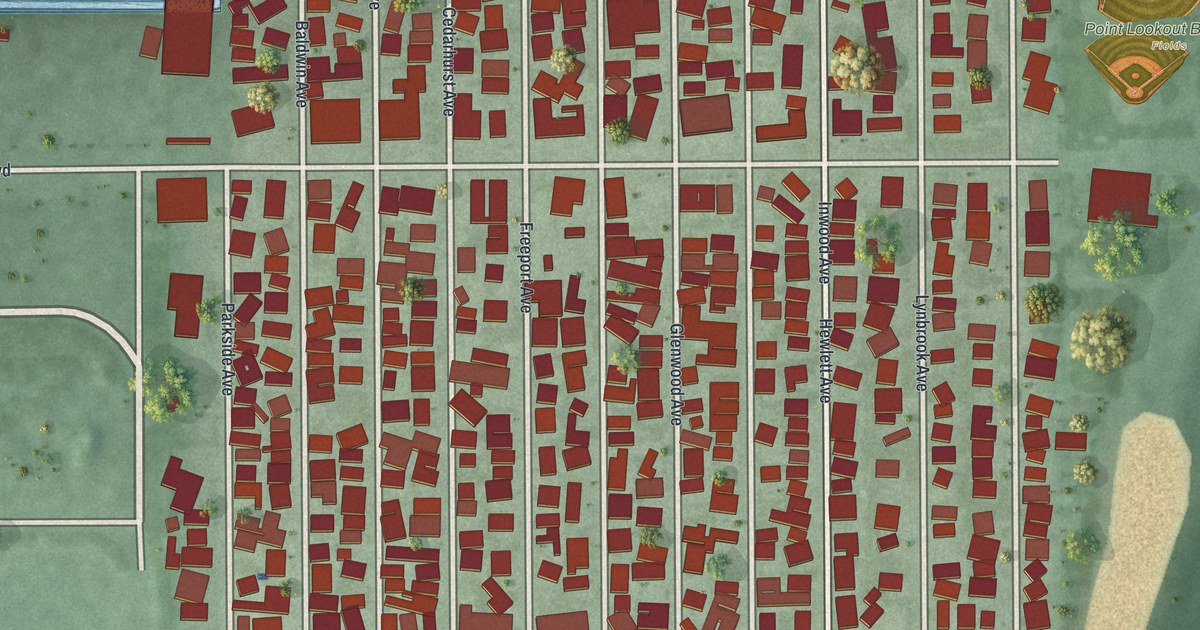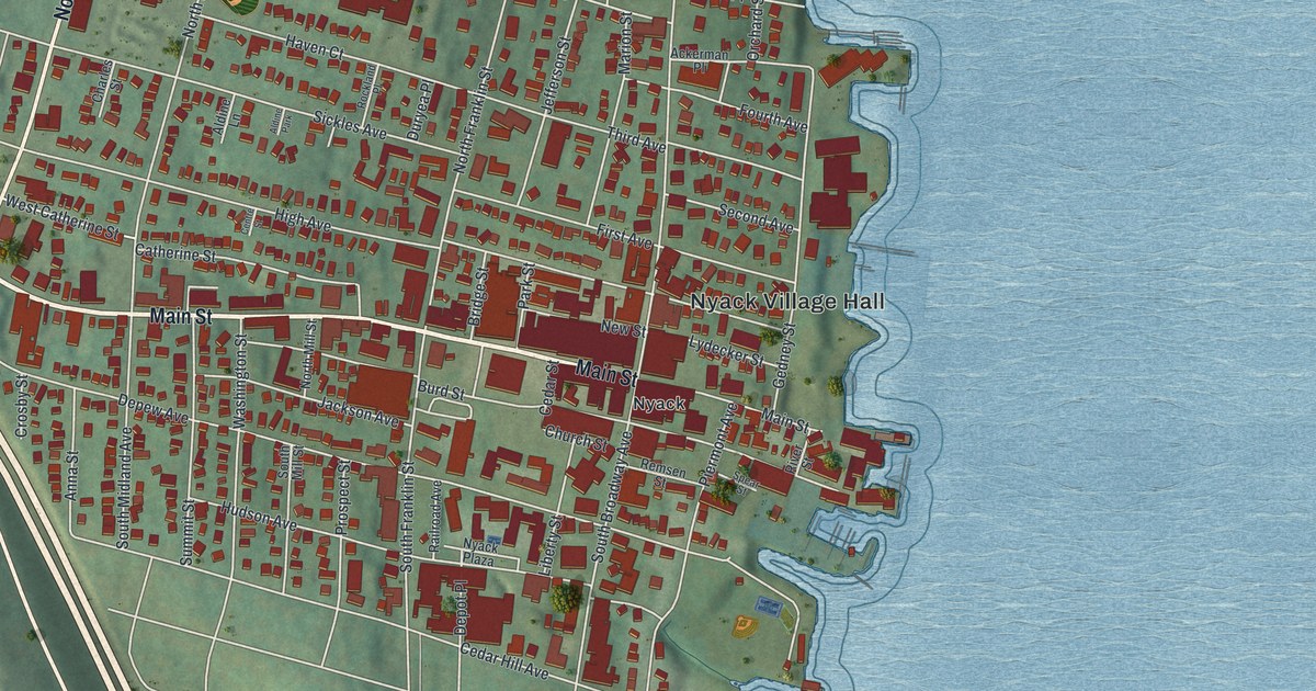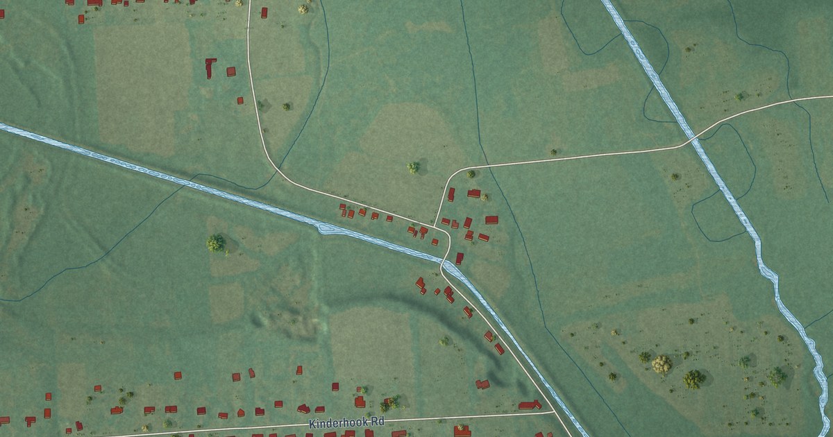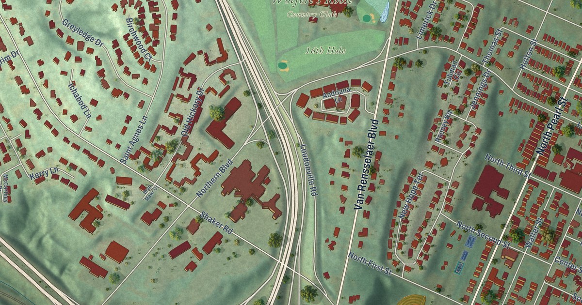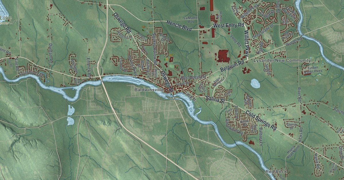
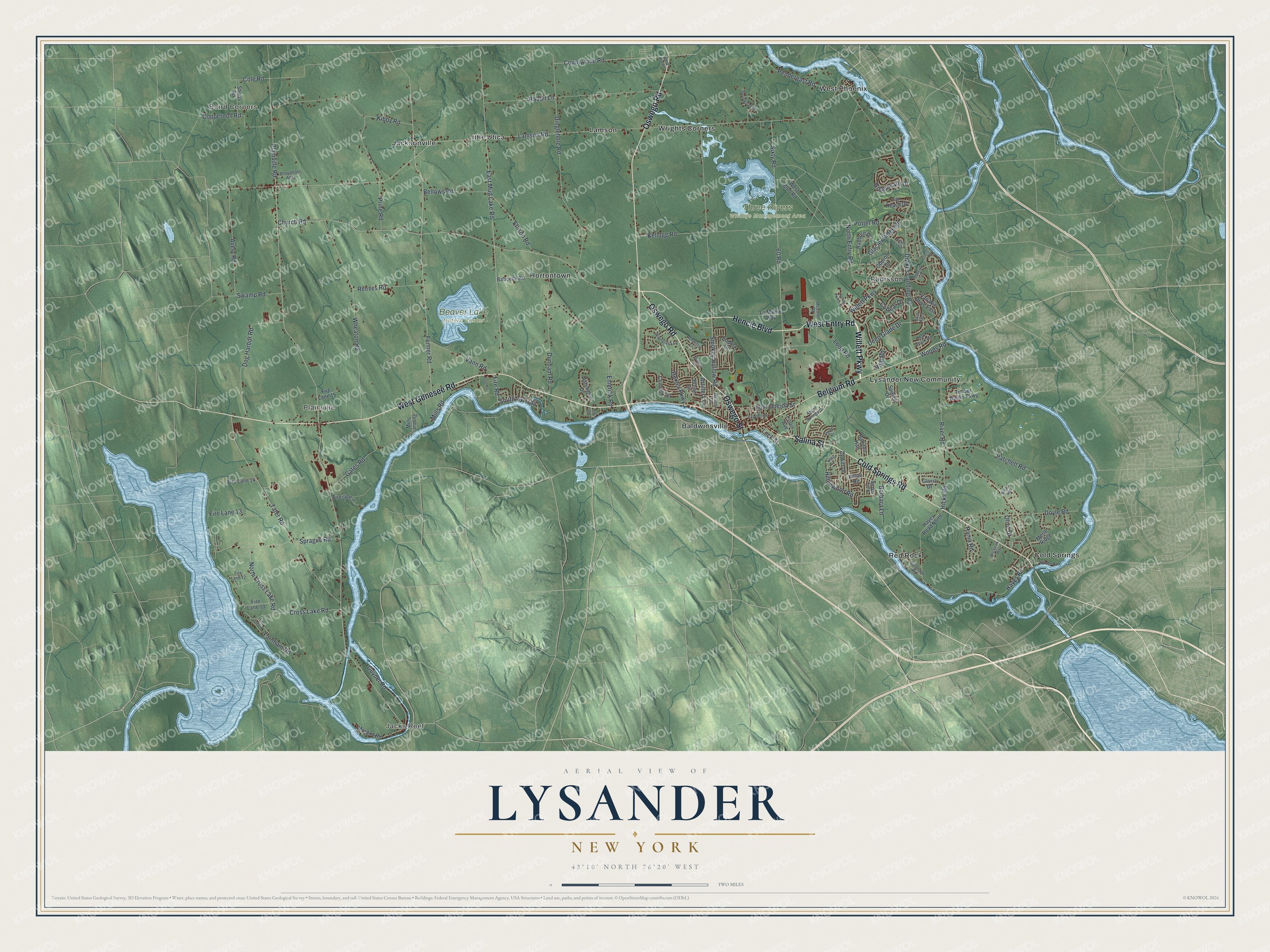
This beautifully detailed map of Lysander, New York was created in 2026 using aerial imagery combined with modern topographical, census, street and landmark data. It’s a one-of-a-kind view of Lysander that combines accurate data with a vintage aesthetic. The map shows every building in its true location, many of the roads carry their names, and the shaded topographic relief shows the shape of the land.
Explore an aerial view of Lysander, New York
On the map you’ll find Baird Corners, Jacks Reef, Plainville, Baldwinsville, Cold Springs, and Three Rivers Wildlife Management Area, along with Genesee Road, Oswego Road, Oswego Street, Willett Parkway, Entry Road, and more. If you look closely you can even find your house accurately drawn in its correct location. Zoom in on the preview to look for yours.
Did You Know?
A clerk who loved the classics gave Lysander its name. He chose Lysander, a military leader of ancient Sparta. The town was formed in 1794 from the northern part of the Central New York Military Tract. Settlers arrived around 1797.
Take a closer look at the Lysander map
Names on this map
These names are printed on this map.
Places: Baird Corners, Jacks Reef, Plainville, Beaver Lake Nature Center, Three Rivers Wildlife Management Area, Baldwinsville, Cold Springs, Hortontown, Jacksonville, Lamson, Little Utica, Lysander New Community, Radisson, Red Rock, West Phoenix and Wrights Corners.
Streets and roads: West Genesee Road, Oswego Road, Oswego Street, Willett Parkway, West Entry Road, Cold Springs Road, Belgium Road, Hencle Boulevard, Salina Street, County Line Road, Lamson Road, Plainville Road.
More street names, A to Z
60 Road, Artillery Lane, Ashington Drive, Aspen Springs Drive, Avery Road, Babcock Road, Bally Gar Road, Barbara Lane, Battery Terrace, Bellows Road, Briar Patch, Brickwalk Way, Brown Street, Buck's Trail, Celtic Lane, Center Pointe Drive, Chaucer Circle, Church Road, Cole Road, Connell Terrace, Coppernoll Road, Corlear Drive, Country Lane, Cramer Road, Cross Lake Road, Curtis Avenue, Deep Glade Drive, Dewitt Drive, Dexter Parkway, Dinglehole Road, Doan Road, Dog Harbor Road, Doyle Road, Drakes Landing Road, Dunham Road, East Mud Lake Road, East Oneida Street, Elizabeth Street, Ellison Road, Emerick Road, Endora Drive, Farnham Road, Far Reach Drive, Fenner Road, Fields End Drive, Fire Lane 1, Fire Lane 7, Fire Lane 8, Fire Lane 10, Fire Lane 12, Fire Lane 13, Fire Lane 14, Fire Lane 15, Fire Road, Gates Road, Glacier Ridge Road, Gloria Drive, Greenleafe Drive, Guyder Road, Haddon Hall, Hayes Road, Hayes Road North, Hicks Road, High Road, Hillside Road, Hiltonwood Road, Hourglass Lane, Kellogg Road, Kibby Road, Killoe Road, La Madre Way, Lock Street, Loop Road, McLane Road, Merle Ridge, Mills Landing, Mills Road, Morgan Road, North Cross Lake Road, North Entry Road, Oak Brook Road, Oberon Drive, Olive Drive, Patchett Road, Pendergast Road, Phosphate Alley, Potter Road, Prine Road, Rabbit Lane, Radburn Drive, Rania Road, Reeves Road, River Road, Short Cut Road, Shriver Drive, Shuba Road, Sixty Road, Smokey Hollow Road, Sourwood Drive, South Ivy Trail, Speach Drive, Sprague Road, Stanford Drive, Surbrook Road, Swamp Road, Tater Road, Timber Banks Parkway, Vann Road, Van Wie Drive East, West Igloo Road, Wheaton Road, Woods Road.
See it on a wall
The Lysander map as a framed print. Swipe for more.


This beautifully detailed map of Lysander makes an attractive addition to your office, library, or den, and it can even be used to teach children the geography and history of the area. It also makes a great gift for someone who left Lysander and still calls it home. When you’re done exploring, click here to get your copy of the Lysander map.