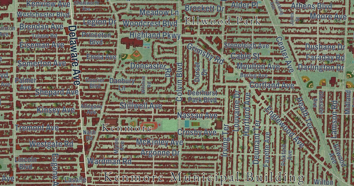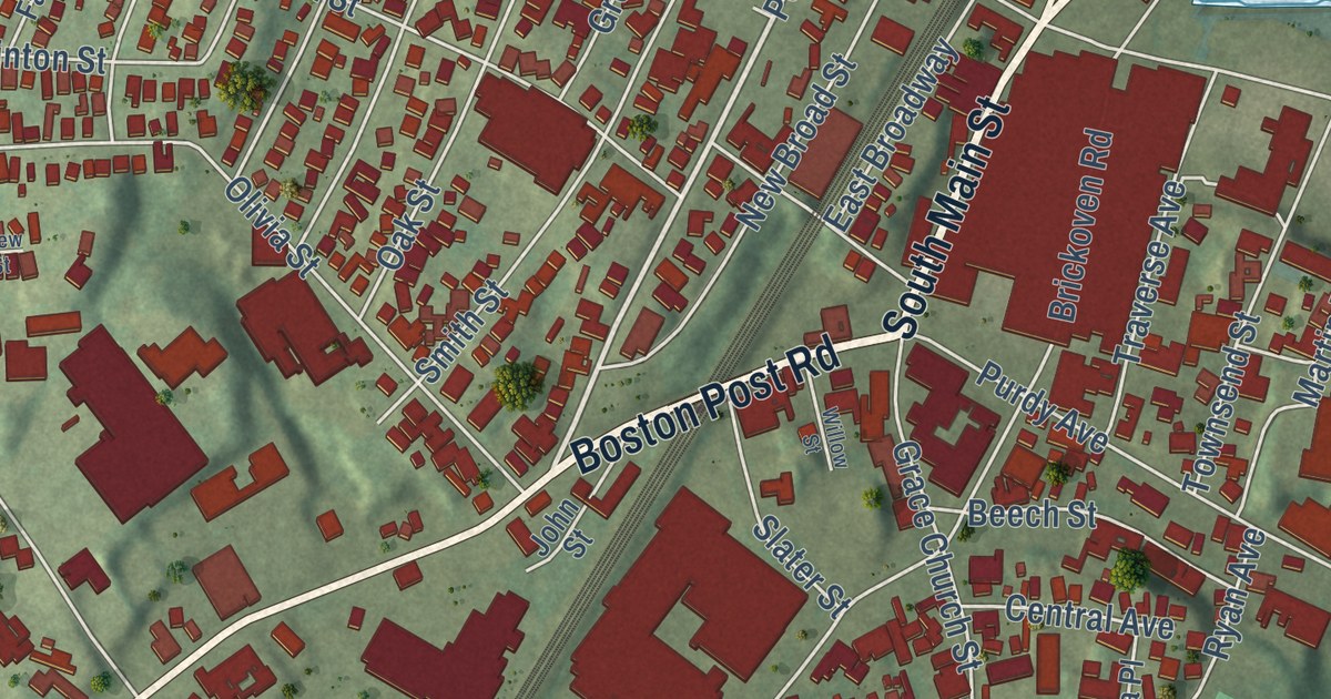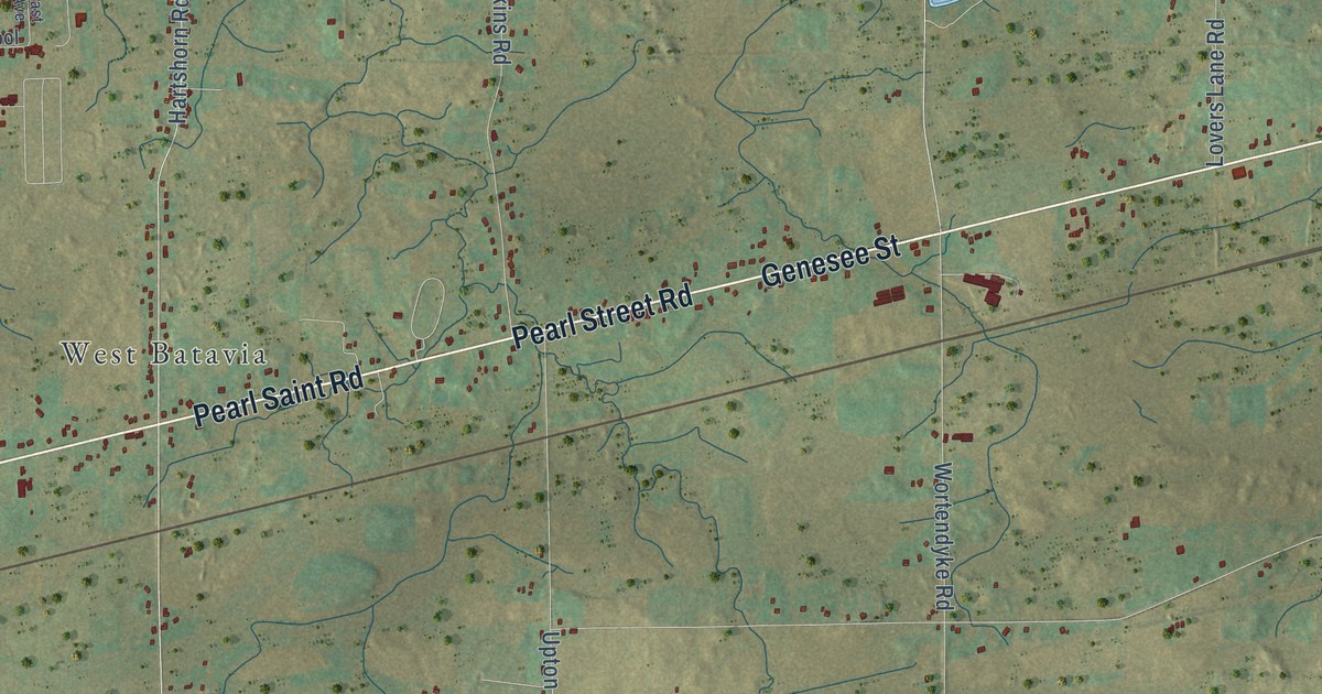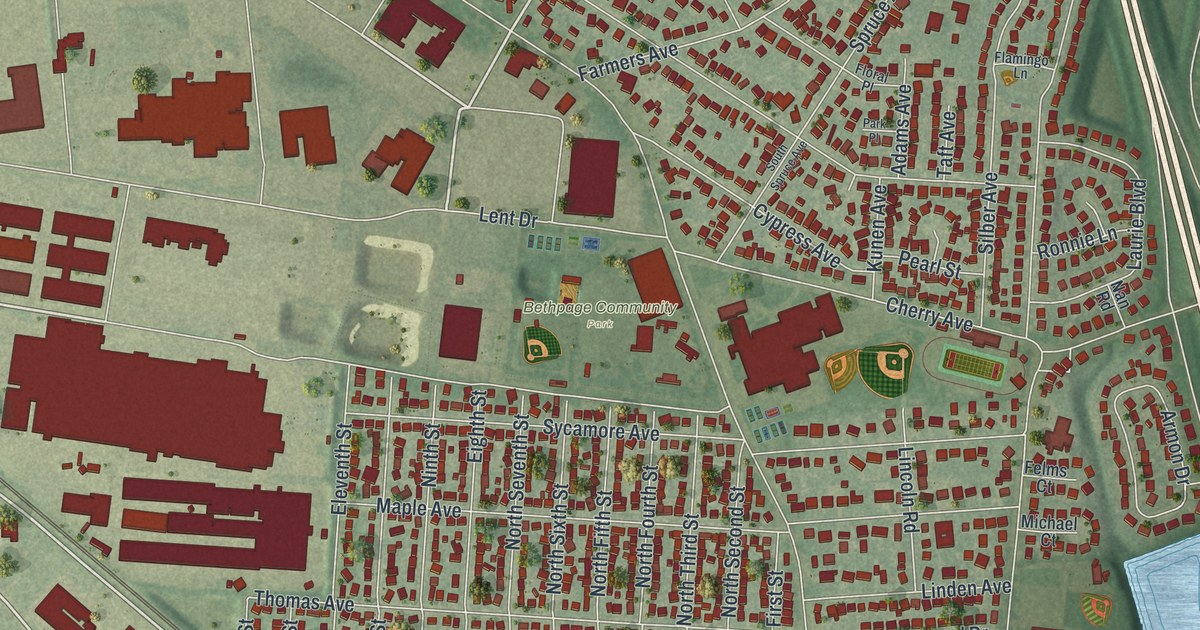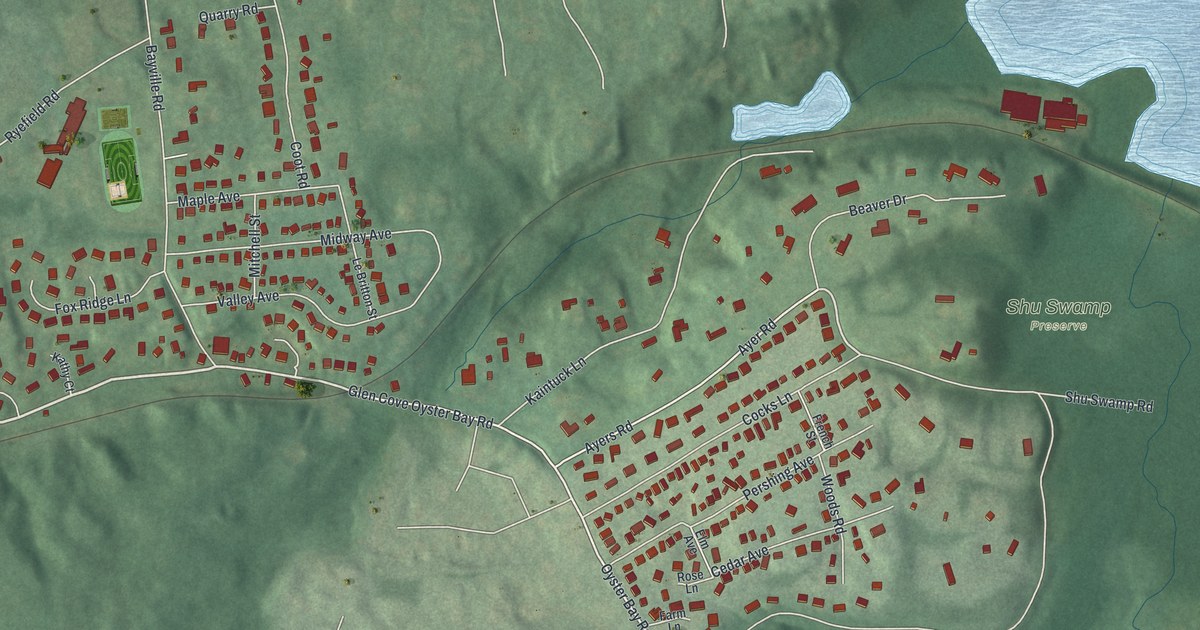
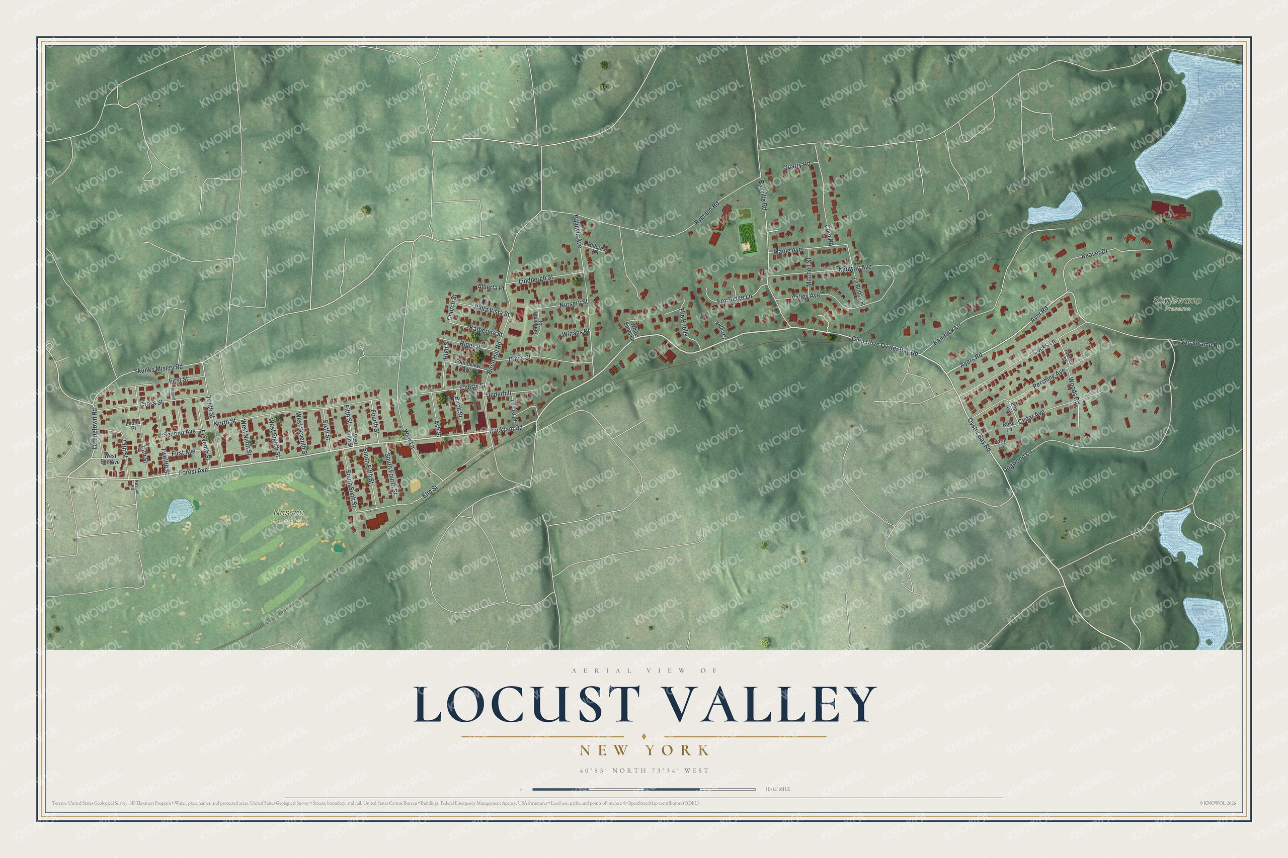
This beautifully detailed map of Locust Valley, New York was created in 2026 using aerial imagery combined with modern topographical, census, street and landmark data. It’s a one-of-a-kind view of Locust Valley that combines accurate data with a vintage aesthetic. The map shows every building in its true location, many of the roads carry their names, and the shaded topographic relief shows the shape of the land.
Explore an aerial view of Locust Valley, New York
On the map you’ll find Shu Swamp Preserve, along with Forest Avenue, Buckram Road, Lattingtown Road, Oyster Bay Road, Ayers Road, and more. If you look closely you can even find your house accurately drawn in its correct location. Zoom in on the preview to look for yours.
Did You Know?
Captain John Underhill gained much land at Locust Valley and spent his last years here. He came to Boston in 1630 to command the Massachusetts militia. On Long Island he fought Dutch unfairness toward English settlers and clashed with Peter Stuyvesant. He barely escaped a sedition trial. After the British took over in 1664, he became High Sheriff. That’s from the 1940 WPA guide to New York.
Take a closer look at the Locust Valley map
Names on this map
These names are printed on this map.
Places: Nassau Country Club and Shu Swamp Preserve.
Streets and roads: Forest Avenue, Buckram Road, Lattingtown Road, Oyster Bay Road, Ayers Road, Ayer Road, Skunks Misery Road, Dogwood Lane, Birch Hill Road, Glen Cove Oyster Bay Road, Kaintuck Lane, Elm Street.
More street names, A to Z
13th Street, 14th Street, Alberta Place, Ash Street, Baldwin Avenue, Bayville Road, Beaver Drive, Bella Vista Street, Benjamin Place, Birch Street, Cedar Avenue, Cherry Street, Church Street, Cocks Lane, Coot Road, Cross Street, Davis Street, Eleventh Street, Elm Avenue, Farm Lane, Fifth Street, First Avenue, First Street, Fourth Street, Fox Ridge Lane, French Street, High Street, Hillcrest Place, Katherine Street, Kathy Court, Le Britton Street, Leona Place, Lindbergh Street, Locust Place, Maple Avenue, Midway Avenue, Mitchell Street, Nassau Road, North Street, Nursery Street, Pershing Avenue, Quarry Road, Riggs Place, Rose Lane, Ryefield Road, Second Avenue, Second Street, Shu Swamp Road, Sixth Street, Soundview Avenue, South Fifth Street, South Fourth Street, South Sixth Street, Tenth Street, The Knolls, Twelfth Street, Underhill, Valley Avenue, Weir Lane, West Eighth Street, West End Avenue, West Fifth Street, West Ninth Street, West Seventh Street, White Spots Lane, Winans Place, Woods Road.
See it on a wall
The Locust Valley map as a framed print. Swipe for more.


This beautifully detailed map of Locust Valley makes an attractive addition to your office, library, or den, and it can even be used to teach children the geography and history of the area. It also makes a great gift for anyone with Locust Valley roots. When you’re done exploring, click here to get your copy of the Locust Valley map.