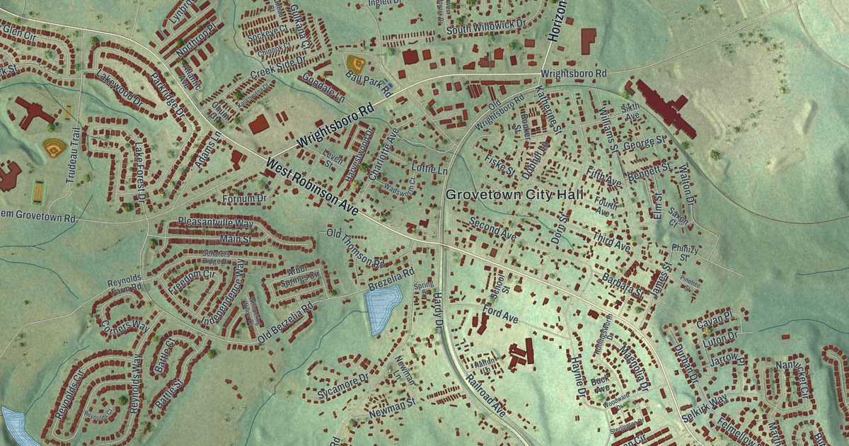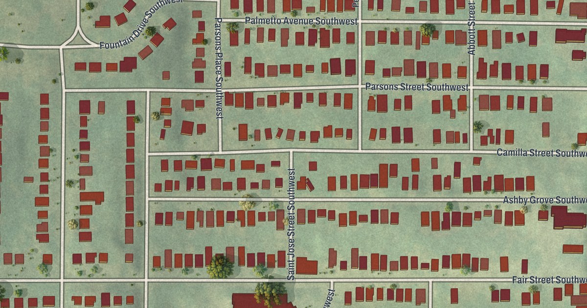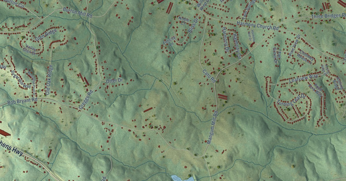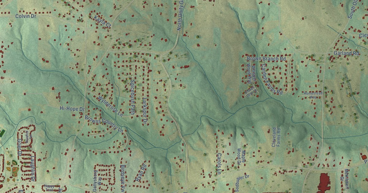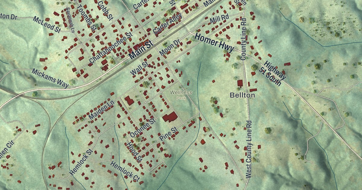
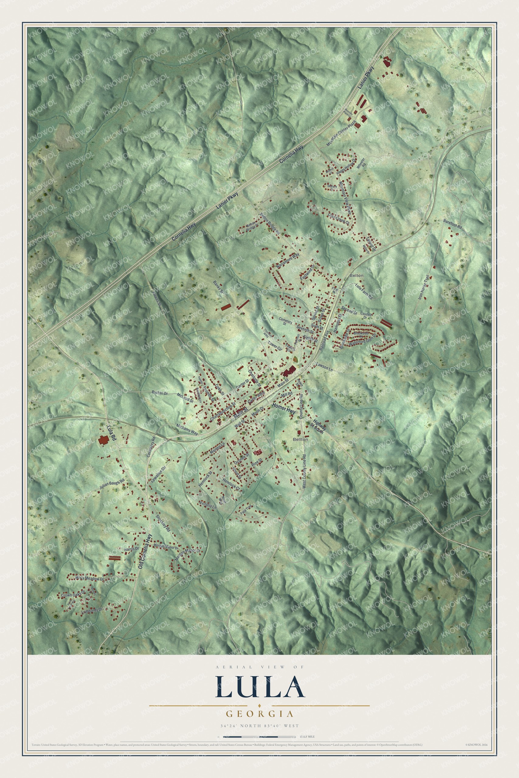
This beautifully detailed map of Lula, Georgia was created in 2026 using aerial imagery combined with modern topographical, census, street and landmark data. It’s a one-of-a-kind view of Lula that combines accurate data with a vintage aesthetic. The map shows every building in its true location, many of the roads carry their names, and the shaded topographic relief shows the shape of the land.
Explore an aerial view of Lula, Georgia
On the map you’ll find Bellton, Belton, and Wellness Park, along with Old Cornelia Highway, Main Street, Homer Highway, Cornelia Highway, Lanier Parkway, and more. If you look closely you can even find your house accurately drawn in its correct location. Zoom in on the preview to look for yours.
Did You Know?
Brothers Joseph H. and Dunstan E. Banks gave land to the railroad company. In return, the company built the junction and depot at Lula. The brothers opened a store and warehouse, and Lula soon outgrew nearby Belton. In 1955, voters chose to absorb Belton into Lula.
Take a closer look at the Lula map
Names on this map
These names are printed on this map.
Places: Bellton, Belton and Wellness Park.
Streets and roads: Old Cornelia Highway, Main Street, Homer Highway, Cornelia Highway, Lanier Parkway, Lula Road, Shockley Road, County Line Road, West County Line Road, Mill Road, Moon Drive, Tower Circle.
More street names, A to Z
Athens Street, Banks Street, Barefoot Road, Belton Bridge Place, Belton Bridge Road, Brookside Drive, Brookside Place, Burton Drive, Butterfly Lane, Carter Alley, Carter Street, Caudell Drive, Cemetery Road, Cemetery Street, Charlotte Street, Chattahoochee Street, Cobb Street, Cool Creek Court, Crown Oaks Drive, Eastwind Drive, Eighth Street, First Street, Grove Street, Hammett Street, Hampton Street, Happy Hollow Court, Harris Drive, Helen Street, Hemlock Court, Hemlock Street, Highway 51 South, Hood Street, Iron Horse Trail, Julian Baugh Road, Lawson Lane, Lewallen Circle, Lombardy Drive, Lula Farm Road, Maiden Lane, McLeod Street, Mickams Way, Miller Drive, Misty Meadow Drive, Morgan Manor Court, Morgan Manor Drive, Mountain Center Plaza, Mountain Place Lane, Mountain View Parkway, Narramore Way, Noah Way, Nobhill Court, Oconee Street, Pine Street, Railroad Avenue, Rocky Bluff Way, Savannah Lane, Second Street, Seventh Street, Sixth Street, Skyland Court, Spring Street, Tallent Drive, Tara Trail, Thornton Alley, Toombs, Toombs Street, Towers Circle, Victoria Lane, Wall Street, Waterford Glen Drive, Wheeler Road.
See it on a wall
The Lula map as a framed print. Swipe for more.


This beautifully detailed map of Lula makes an attractive addition to your office, library, or den, and it can even be used to teach children the geography and history of the area. It also makes a great gift for anyone who grew up in Lula or moved away. When you’re done exploring, click here to get your copy of the Lula map.