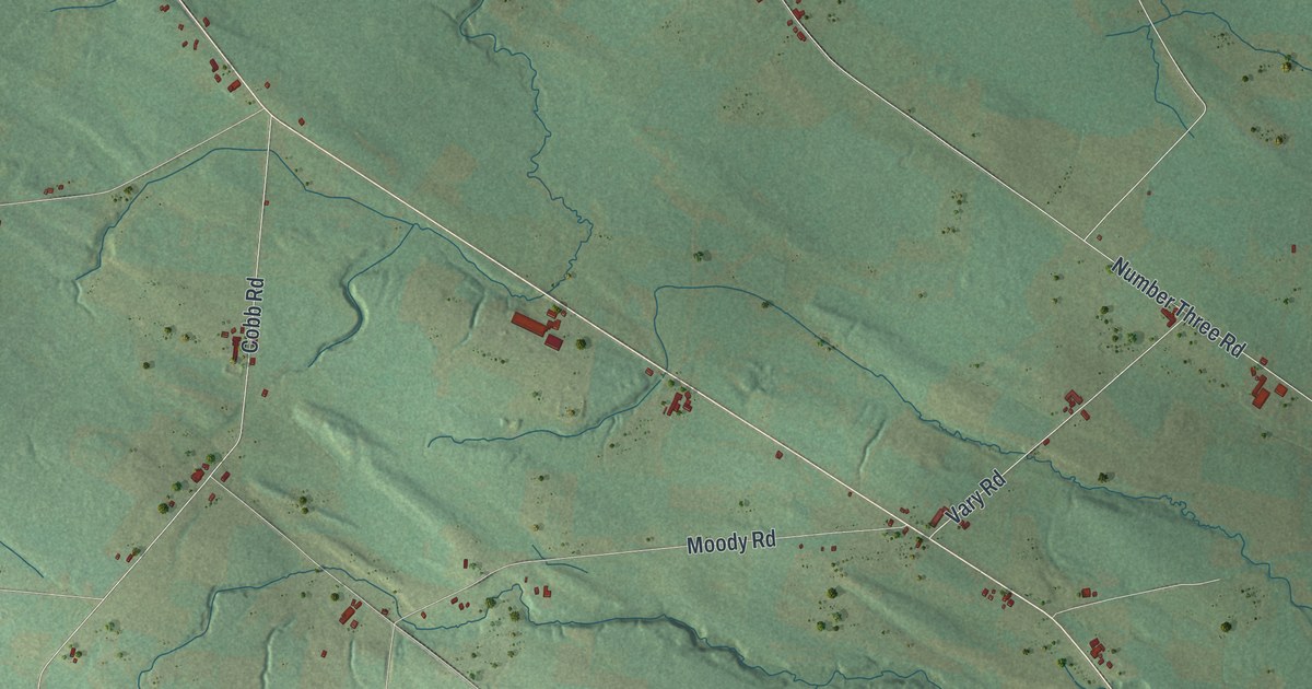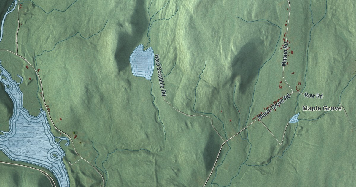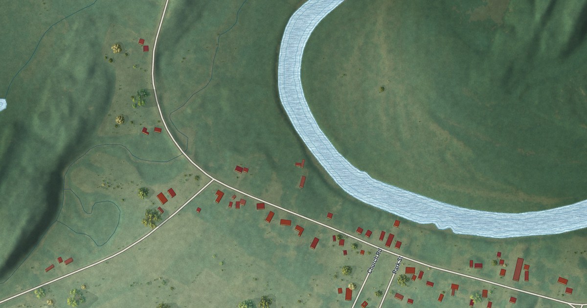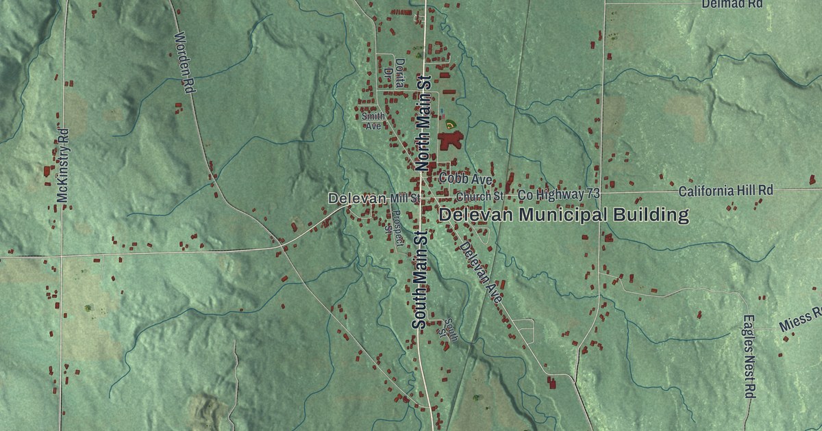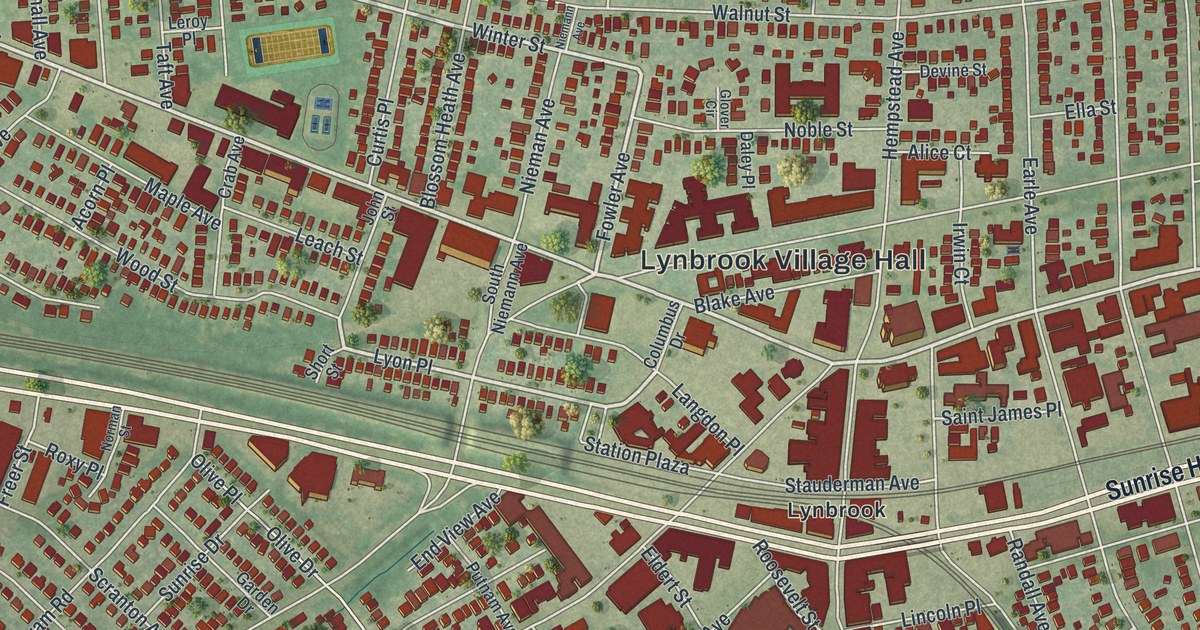
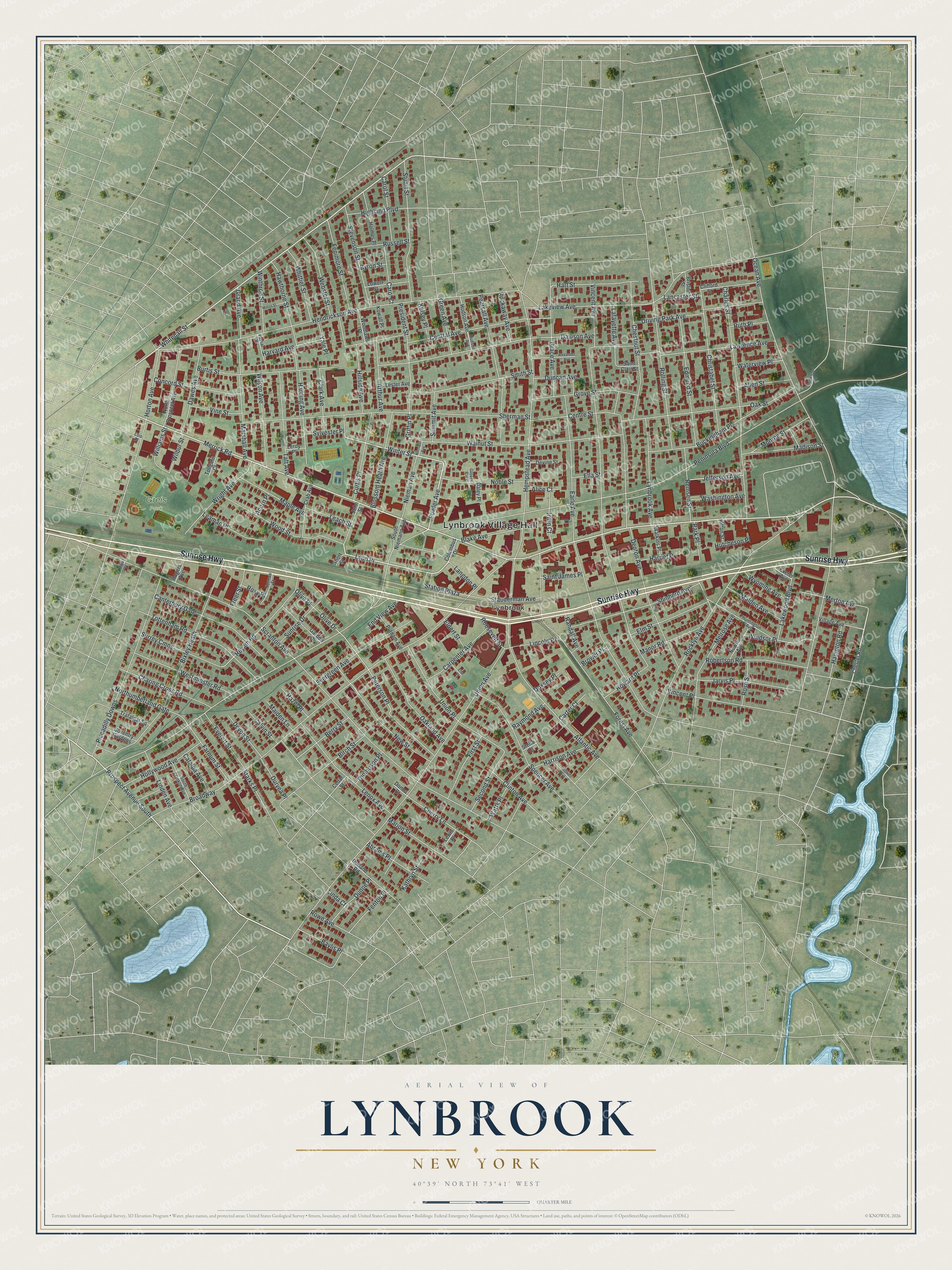
This beautifully detailed map of Lynbrook, New York was created in 2026 using aerial imagery combined with modern topographical, census, street and landmark data. It’s a one-of-a-kind view of Lynbrook that combines accurate data with a vintage aesthetic. The map shows every building in its true location, many of the roads carry their names, and the shaded topographic relief shows the shape of the land.
Explore an aerial view of Lynbrook, New York
On the map you’ll find Lynbrook Village Hall and Greis Park, along with Sunrise Highway, Peninsula Boulevard, Merrick Road, Whitehall Street, and more. If you look closely you can even find your house accurately drawn in its correct location. Zoom in on the preview to look for yours.
Did You Know?
Lynbrook got its name in 1894 by splitting the word Brooklyn in two and swapping the halves. The name honored Brooklyn, where many residents had lived before. Earlier the place was Pearsall’s Corners, after a general store that was a well-known stagecoach stop for travelers from New York City.
Take a closer look at the Lynbrook map
Names on this map
These names are printed on this map.
Places: Lynbrook Village Hall, Greis Park and Lynbrook.
Streets and roads: Sunrise Highway, Peninsula Boulevard, Merrick Road, Whitehall Street, Lyon Place, Winter Street, Rockaway Avenue, Fowler Avenue, Prospect Avenue South, Griffin Place, Scranton Avenue, Broadway.
More street names, A to Z
Abrams Place, Acorn Place, Alexander Avenue, Alice Court, Allen Street, Arthur Avenue, Atlantic Avenue, Baylis Place, Berry Street, Birch Street, Bixley Heath, Blake Avenue, Blossom Heath Avenue, Bristol Street, Brower Place, Buckingham Place, Burtis Street, Byron Street, Calvin Street, Canterbury Gate, Carol Court, Carol Street, Carpenter Avenue, Carter Court, Catalpa Avenue, Cedar Street, Central Avenue, Centre Street, Charing Cross Road, Charles Street, Cherry Lane, Chester Road, Chestnut Street, Christabel Street, Clark Avenue, Clifford Street, Clinton Avenue, Columbus Drive, Concord Street, Coventry Gardens, Crab Avenue, Curtis Place, Daley Place, Davison Avenue, Dawes Avenue, Denton Avenue, Devine Street, Devon Street, Donna Court, Doxsey Place, Driving Park Avenue, Duncan Avenue, Dunne Place, Durland Road, Duryea Place, Earle Avenue, Edmund Street, Eldert Street, Ella Street, Elm Street, End View Avenue, Etta Place, Everett Street, Evergreen Avenue, Exeter Avenue, Farnum Street, Fenimore Street, Fenton Place, First Street, Forest Avenue, Freer Street, Garden Drive, Glover Circle, Grace Avenue, Grand Avenue, Green Avenue, Grove Street, Hampton Road, Harding Avenue, Harriet Place, Harrison Avenue, Hart Street, Harvard Avenue, Hawthorne Street, Hazel Place, Hempstead Avenue, Hendrickson Avenue, Highland Boulevard, High Street, Hillside Avenue, Hilton Street, Hodson Avenue, Hollywood Avenue, Holmes Place, Horton Avenue, Howard Place, Hudson Avenue, Huntington Avenue, Hutcheson Place, Irwin Court, Jarvis Place, Jefferson Avenue, John Street, Kathryn Street, Kelsey Place, Kowall Place, Lafayette Avenue, Lakeview Avenue, Lakewood Boulevard, Lancaster Street, Langdon Place, Lawrence Avenue, Leach Street, Leaman Place, Lenox Avenue, Leroy Place, Lester Avenue, Lewis Place, Lincoln Place, Linda Court, Linden Avenue, Lois Place, Lowell Street, Lynbrook Avenue, Madison Street, Maiden Lane, Malden Avenue, Manor Road, Maple Avenue, Marion Street, Marshall Avenue, Melrose Avenue, Merton Avenue, Milton Street, Monroe Street, New Street, Newton Avenue, Nieman Avenue, Niemann Avenue, Noble Street, Norman Street, North Prospect Avenue, Northumberland Gate, Oakland Avenue, Oak Street, Ocean Avenue, Olive Drive, Olive Place, Park Place, Pearsall Avenue, Peterson Place, Piccadilly Downs, President Street, Putnam Avenue, Randall Avenue, Raymond Avenue, Remsen Street, Reyam Road, Robertson Road, Rocklyn Avenue, Rogers Avenue, Rolling Street, Roosevelt Street, Rose Street, Rowe Avenue, Roxy Place, Russell Street, Ruth Place, Saint Clair Street, Saint James Place, Second Street, Sherman Street, Shipherd Avenue, Short Street, Smith Street, South Franklin Avenue, South Niemann Avenue, Spencer Avenue, Starks Place, Station Plaza, Stauderman Avenue, Stella Court, Stevenson Street, Stuart Street, Summit Avenue, Sunrise Drive, Surrey Cmns, Sylvester Place, Taft Avenue, Tanglewood Road, Thompson Place, Tollgate Court, Tottenham Road, Trafalgar Square, Tredwell Avenue, Union Avenue, Union Place, Vassar Place, Village Avenue, Vincent Avenue, Vincent Place, Vine Street, Walnut Street, Washington Avenue, Waterview Place, Watkins Place, Watts Place, Webster Street, Westminster Road, Whittier Street, Wilbur Street, Williams Street, Wilson Avenue, Windsor Place, Winthrop Street, Woodlawn Place, Wood Street, Wright Avenue, Wyoming Avenue, Yale Place.
See it on a wall
The Lynbrook map as a framed print. Swipe for more.


This beautifully detailed map of Lynbrook makes an attractive addition to your office, library, or den, and it can even be used to teach children the geography and history of the area. It also makes a great gift for anyone with Lynbrook roots. When you’re done exploring, click here to get your copy of the Lynbrook map.