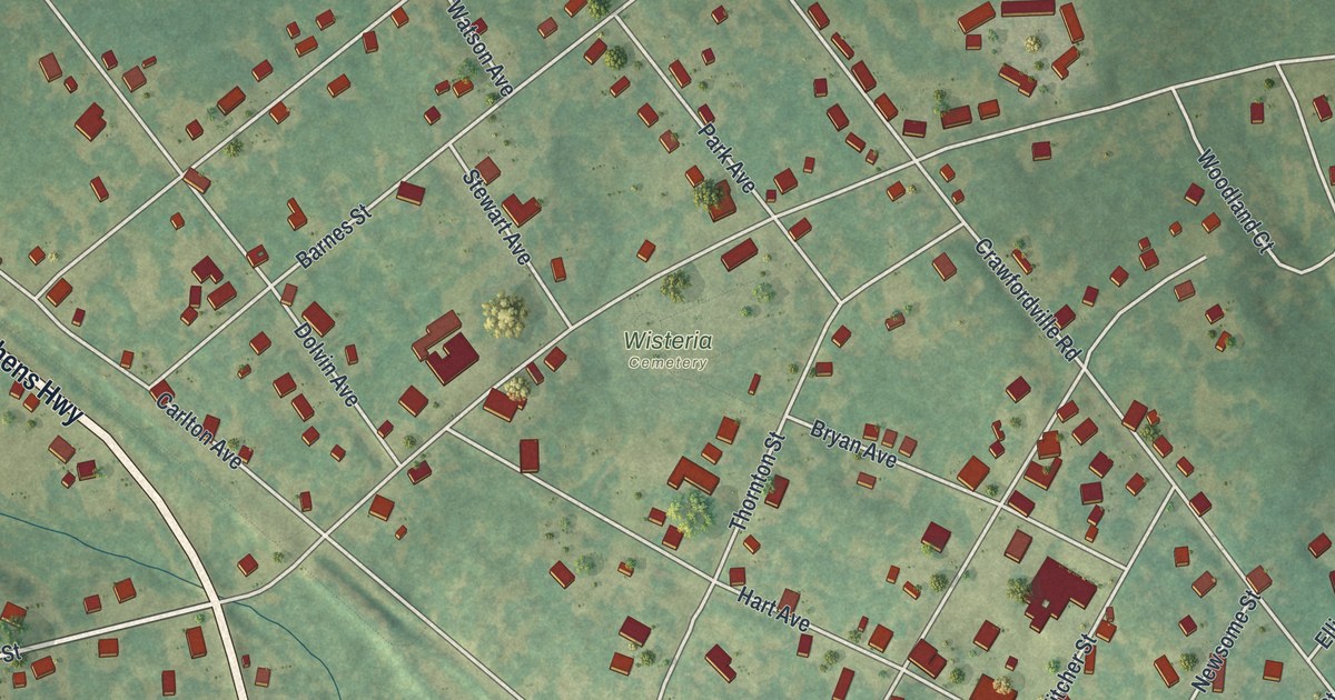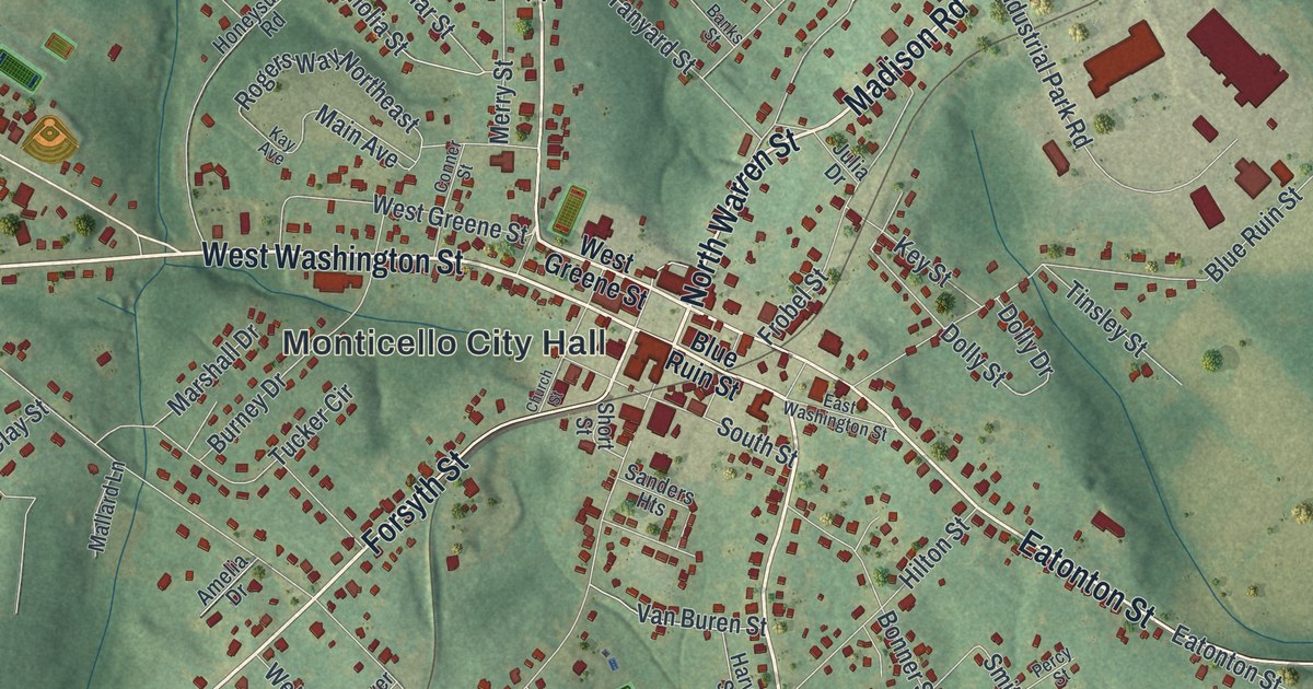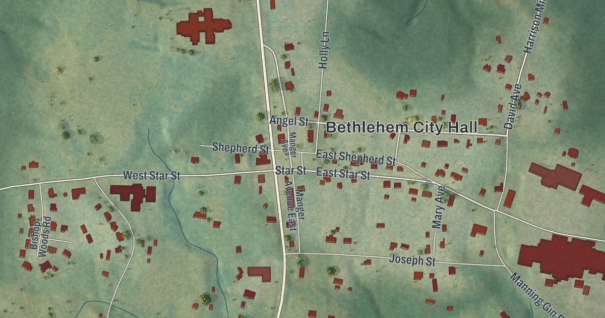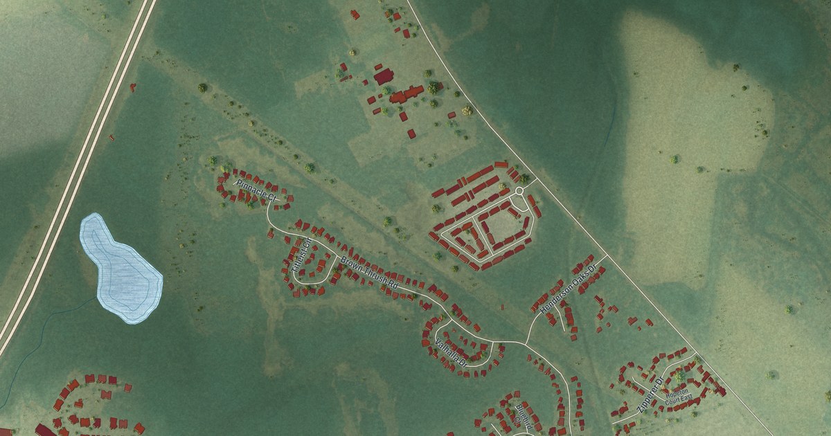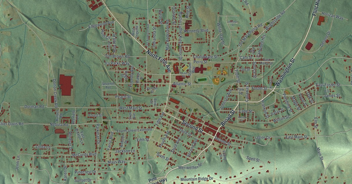
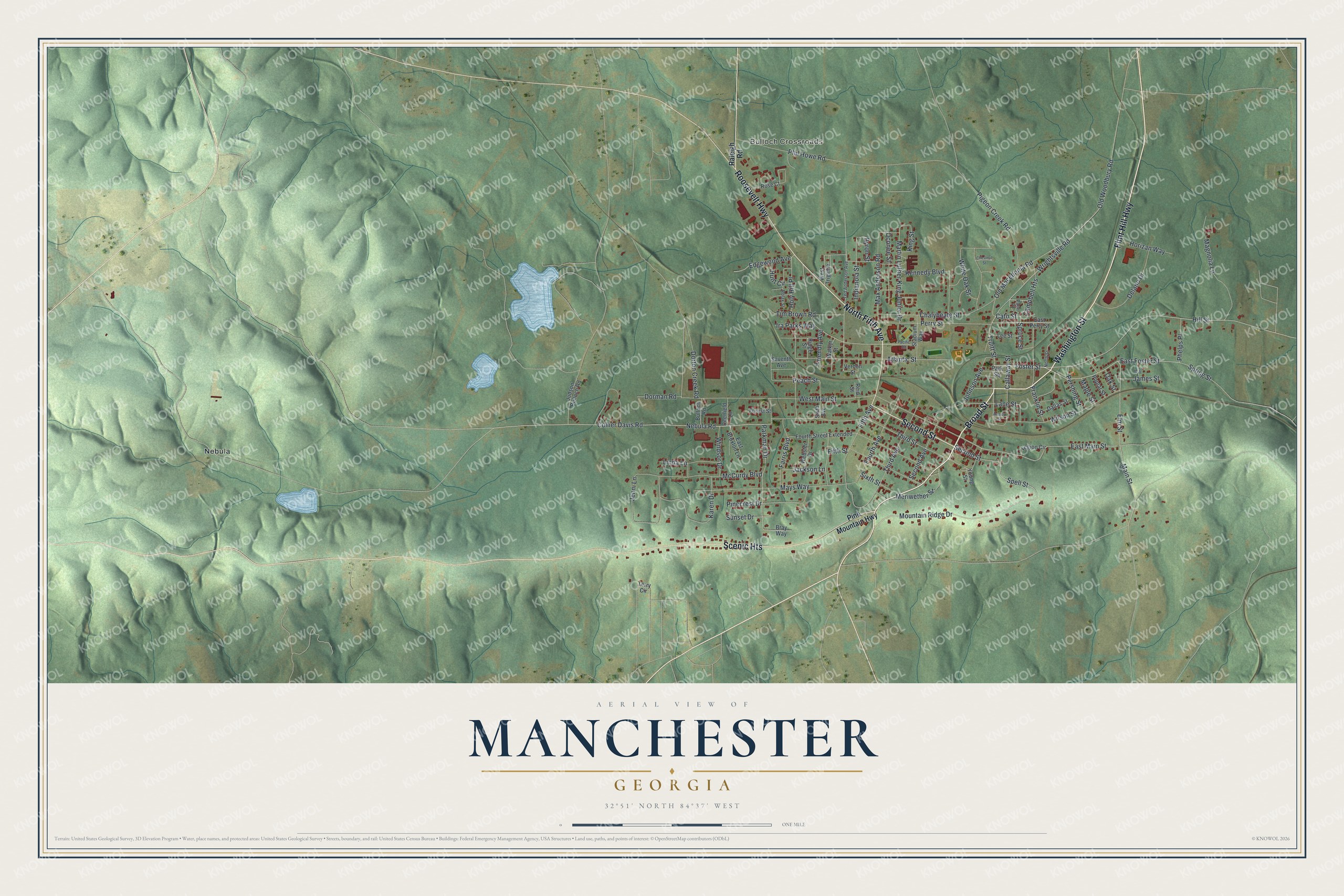
This beautifully detailed map of Manchester, Georgia was created in 2026 using aerial imagery combined with modern topographical, census, street and landmark data. It’s a one-of-a-kind view of Manchester that combines accurate data with a vintage aesthetic. The map shows every building in its true location, many of the roads carry their names, and the shaded topographic relief shows the shape of the land.
Explore an aerial view of Manchester, Georgia
On the map you’ll find Scenic Heights, Bulloch Crossroads, and Nebula, along with Flint Hill Highway, Broad Street, Fifth Avenue, Washington Street, and more. If you look closely you can even find your house accurately drawn in its correct location. Zoom in on the preview to look for yours.
Did You Know?
Manchester began in 1907 as a railroad town. It was founded when builders pushed the Atlanta, Birmingham and Atlantic Railway north to this point. The city took its name from Manchester, England. CSX Transportation still keeps a rail yard here, renovated in 2019.
Take a closer look at the Manchester map
Names on this map
These names are printed on this map.
Places: Bulloch Crossroads and Nebula.
Streets and roads: Flint Hill Highway, Broad Street, North Fifth Avenue, Washington Street, Scenic Heights, Second Street, Roosevelt Highway, Foster Street, Elm Street, Mountain Ridge Drive, Spell Street, Main Street.
More street names, A to Z
Atlantic Street, Awtrey Street, Bray Way, Bulloch Road, Byron Street, Callaway Street, Campbell Heights, Cato Street, Chalybeate Street, Chestnut Street, Collier Davis Road, Dallas Street, Deerfield Lane, Delano Drive, Dorman Road, Dorton Creek Road, East Broxton Lane, East Foster Street, East Main Street, East Perry Street, Edgewood Avenue, Farris Boulevard, Fifth Avenue, Fifth Street, Forest Street, Fourth Avenue, Fourth Street Extended, Franklin Street, Friendly Avenue, Hill Street, Holy Hill Place, Horizan Way, Hunt Circle, Indianola Street, Ira Parks Way, Jackson Lane, James Street, Jay Street, Jenni Lane, Johnson Avenue, Judson Bulloch Road, Karen Drive, Kennedy Boulevard, King Street, Lane Street, Lee Street, Legion Circle, Linda Lane, Magnolia Lane, Maple Street, Martin Luther King Junior Drive, Max Anderson Road, Mays Way, McCurdy Boulevard, Meriwether Street, Nebula Road, North Street, Oak Street, Oconee Street, Old Macedonia Road, Old Woodbury Road, Pace Place, Pacific Road, Parkman Drive, Park Square, Peach Street, Perry Street, Pershing Street, Phelps Place, Phil Howe Road, Pigeon Creek Road, Pinecrest Drive, Pine Mountain Highway, Poplar Street, Raleigh Road, Reid Street, Ridge Street, Rolax Street, Rose Court, Second Avenue, Seventh Avenue, Sixth Avenue, Sixth Street, Spring Street, Spruce Street, Stadium Way, Sunset Drive, Ted Anderson Avenue, Terry Circle, Third Avenue, Third Street, Tim Brown Road, Truitt Street, Vernon Street, Walker Street, Webster Drive, West Main Street, West Trigville, White Oak Street, Wilson Street, Windsor Drive, Wrightsville Road, Young Street.
See it on a wall
The Manchester map as a framed print. Swipe for more.


This beautifully detailed map of Manchester makes an attractive addition to your office, library, or den, and it can even be used to teach children the geography and history of the area. It also makes a great gift for anyone with Manchester roots. When you’re done exploring, click here to get your copy of the Manchester map.