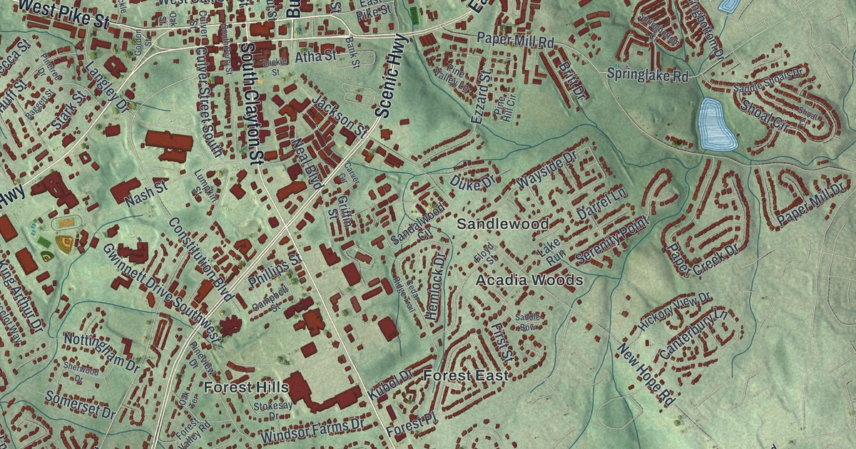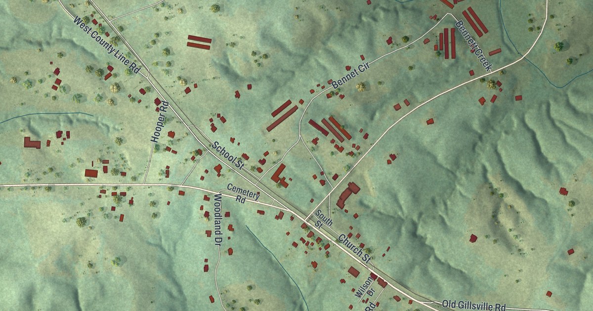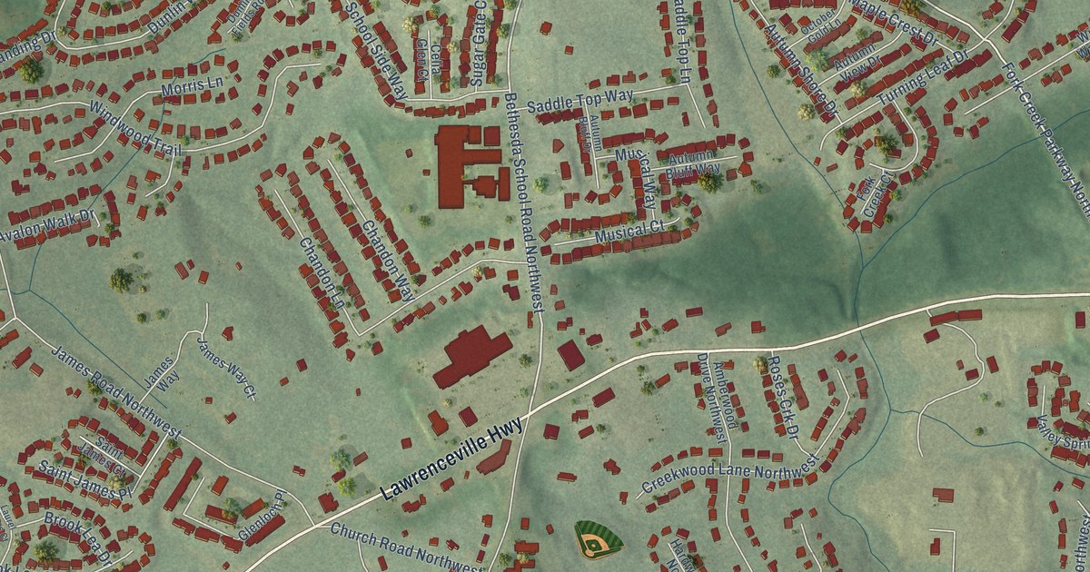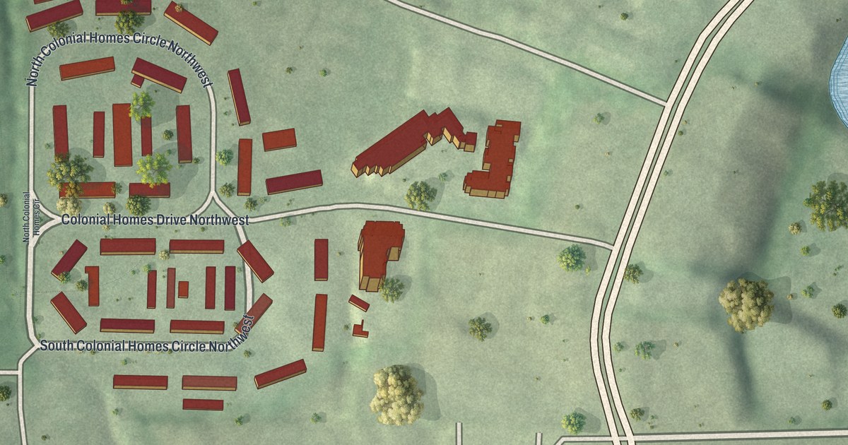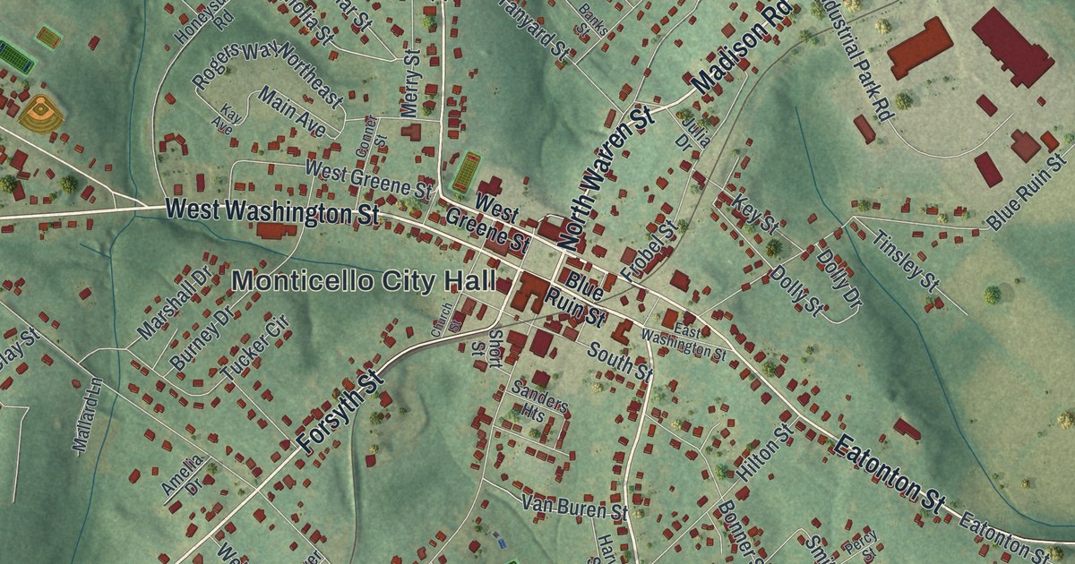
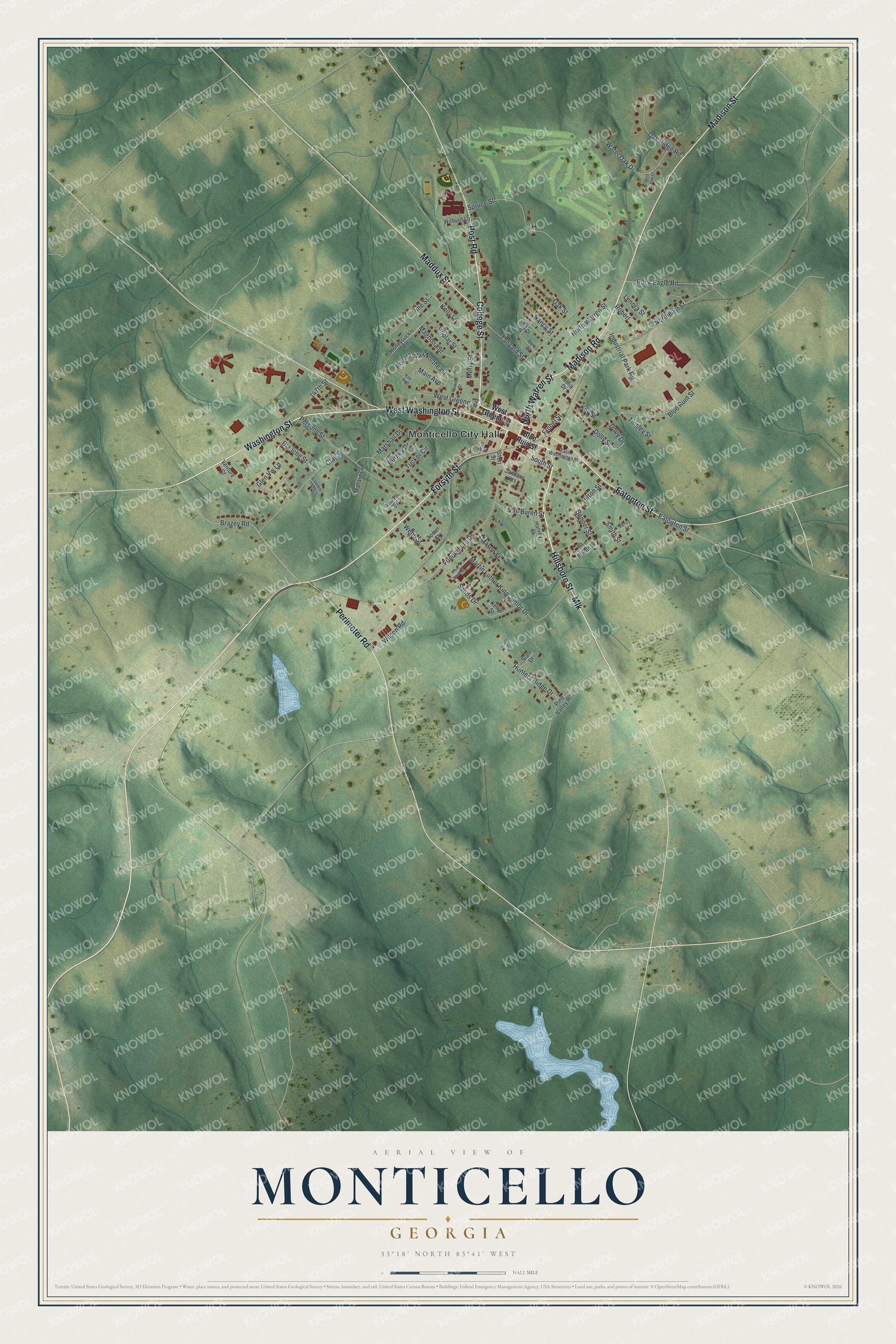
This beautifully detailed map of Monticello, Georgia was created in 2026 using aerial imagery combined with modern topographical, census, street and landmark data. It’s a one-of-a-kind view of Monticello that combines accurate data with a vintage aesthetic. The map shows every building in its true location, many of the roads carry their names, and the shaded topographic relief shows the shape of the land.
Explore an aerial view of Monticello, Georgia
On the map you’ll find Monticello City Hall, along with Hillsboro Street, Washington Street, Warren Street, Madison Road, and more. If you look closely you can even find your house accurately drawn in its correct location. Zoom in on the preview to look for yours.
Did You Know?
Monticello was founded in 1808 to serve as the seat of the new Jasper County. It took its name from the estate of Thomas Jefferson, also called Monticello. It became a town in 1810 and a city in 1901.
Take a closer look at the Monticello map
Names on this map
These names are printed on this map.
Places: Monticello City Hall.
Streets and roads: Hillsboro Street, West Washington Street, North Warren Street, Washington Street, Madison Road, Mlk, Eatonton Street, Madison Street, College Street, Forsyth Street, Post Road, Perimeter Road.
More street names, A to Z
147th Street, Amelia Drive, Banks Street, Blanche Street, Blue Ruin Street, Bonner Street, Brazey Road, Burney Drive, Church Street, Clay Street, Conner Street, Dolly Drive, Dolly Street, East Washington Street, Five Points Street, Fred Smith Street, Frobel Street, Funderburg Drive, Glen Vw Lp, Harvey Street, Hilton Street, Honeysuckle Road, Hunters Ridge Drive, Industrial Park Road, Julia Drive, Kay Avenue, Kelly Lane, Kelly Street, Key Street, Lauren Lane, Lenora Street, Maddux Street, Magnolia Street, Main Avenue, Mallard Lane, Marshall Drive, Martin Luther King Junior Drive, Mason Street, Merry Street, Nancy Street, Northeast Street, Oak Ridge Road, Oak Street, Paul Street, Percy Street, Persons Street, Pine Street, Pine Valley Road, Poplar Street, Red Oak Court, Robert, Rock Eagle Road, Rogers Way Northeast, Sanders Heights, Sands Drive, Short Street, Slate Drive, Smith Street, South Street, Spruce Street, Tammy Court, Tanyard Street, Tinsley Street, Tower Street, Tucker Circle, Van Buren Street, Venture Court, Water Oak Drive, Webb Street, West Greene Street, Wilburn Lane, Wilson Road.
See it on a wall
The Monticello map as a framed print. Swipe for more.


This beautifully detailed map of Monticello makes an attractive addition to your office, library, or den, and it can even be used to teach children the geography and history of the area. It also makes a great gift for anyone who grew up in Monticello or moved away. When you’re done exploring, click here to get your copy of the Monticello map.