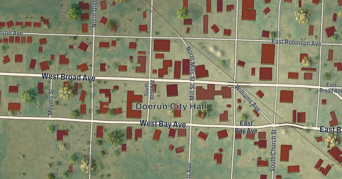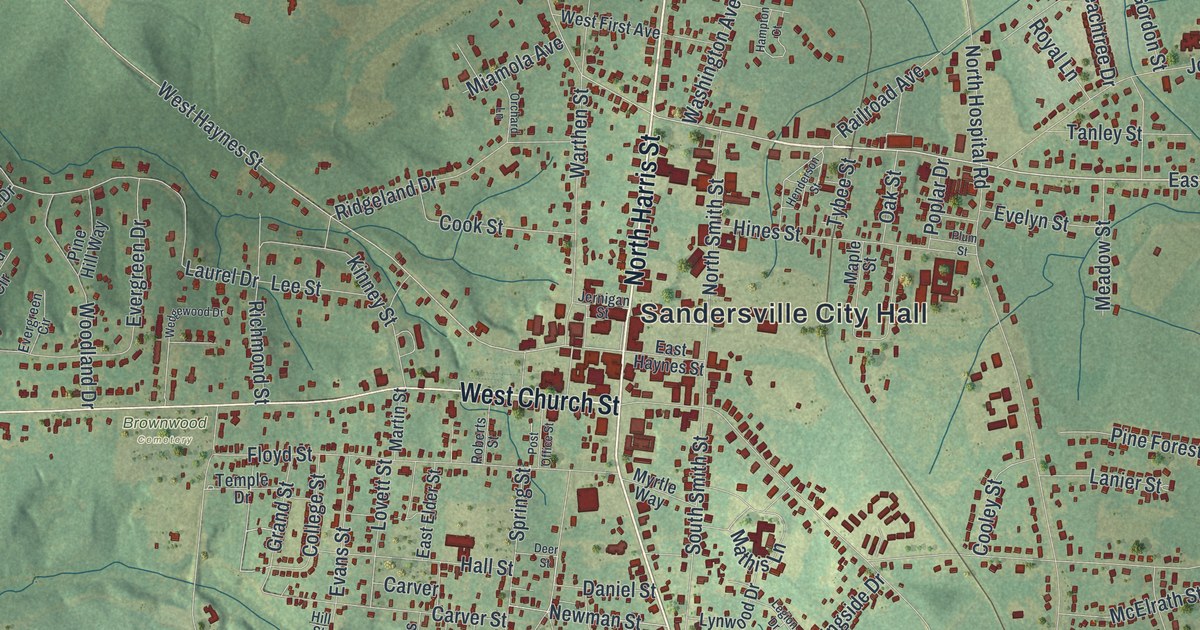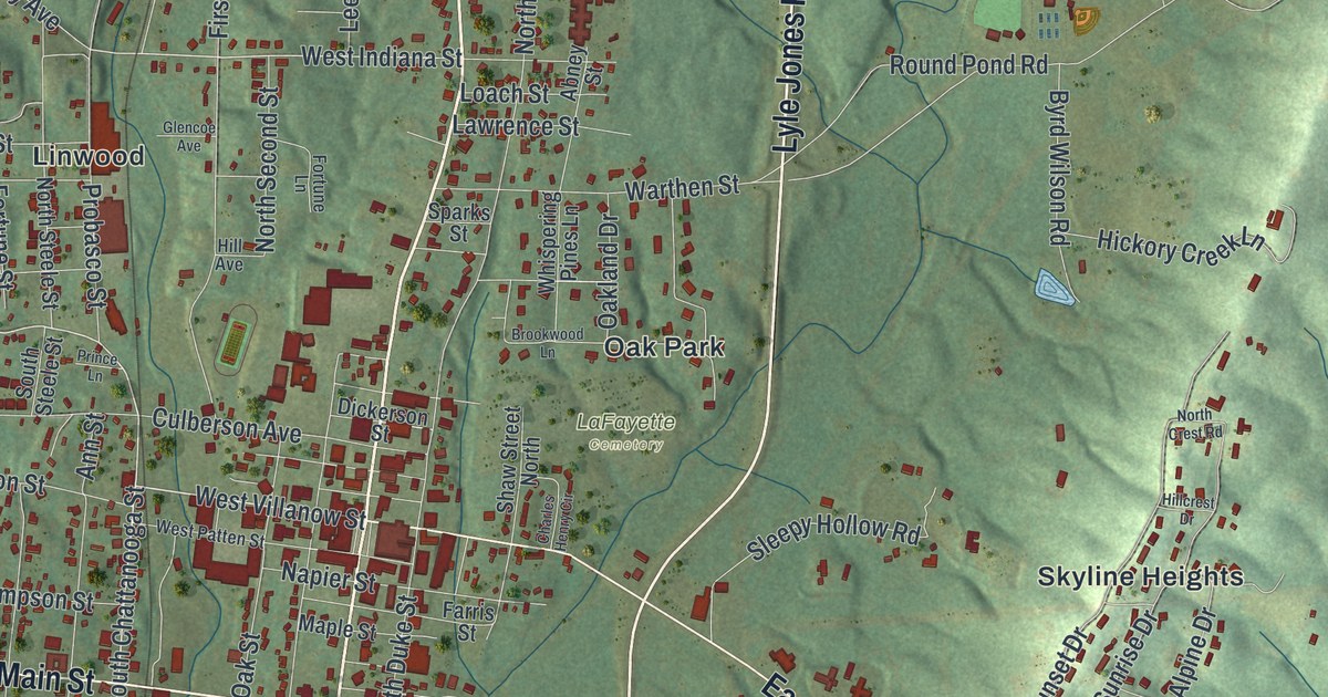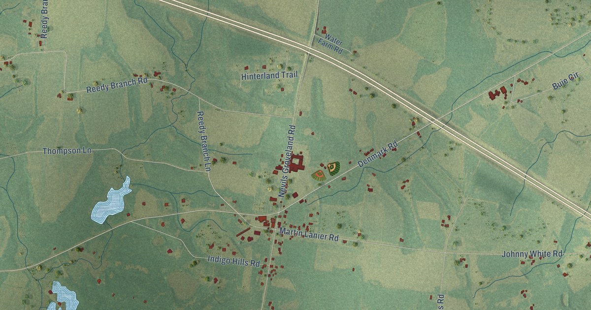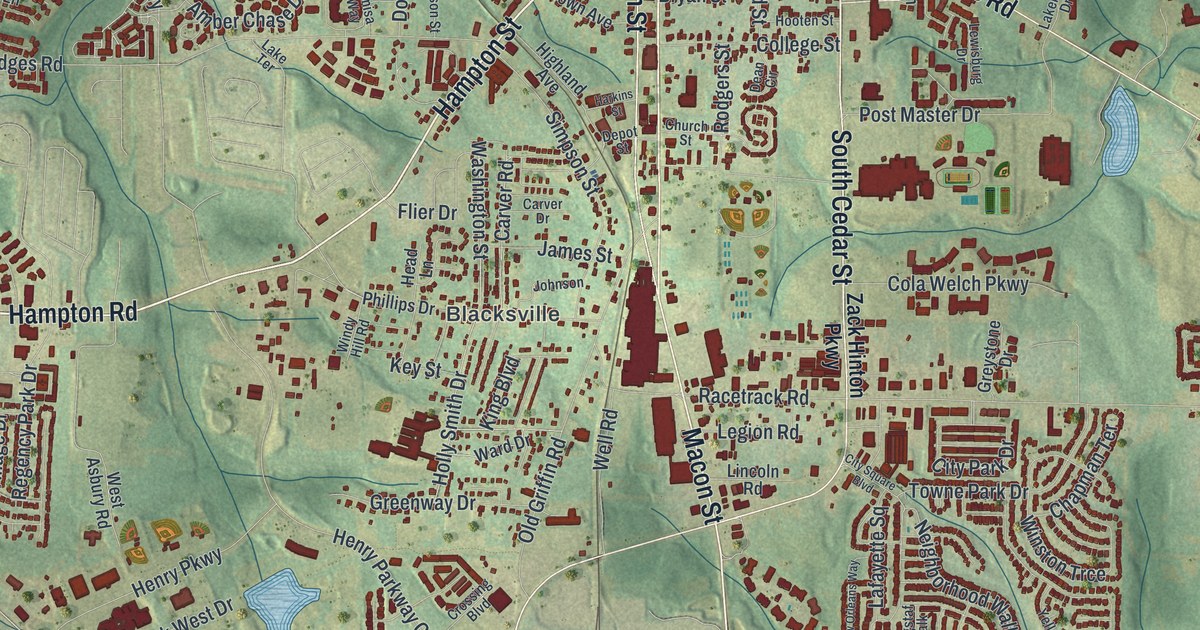
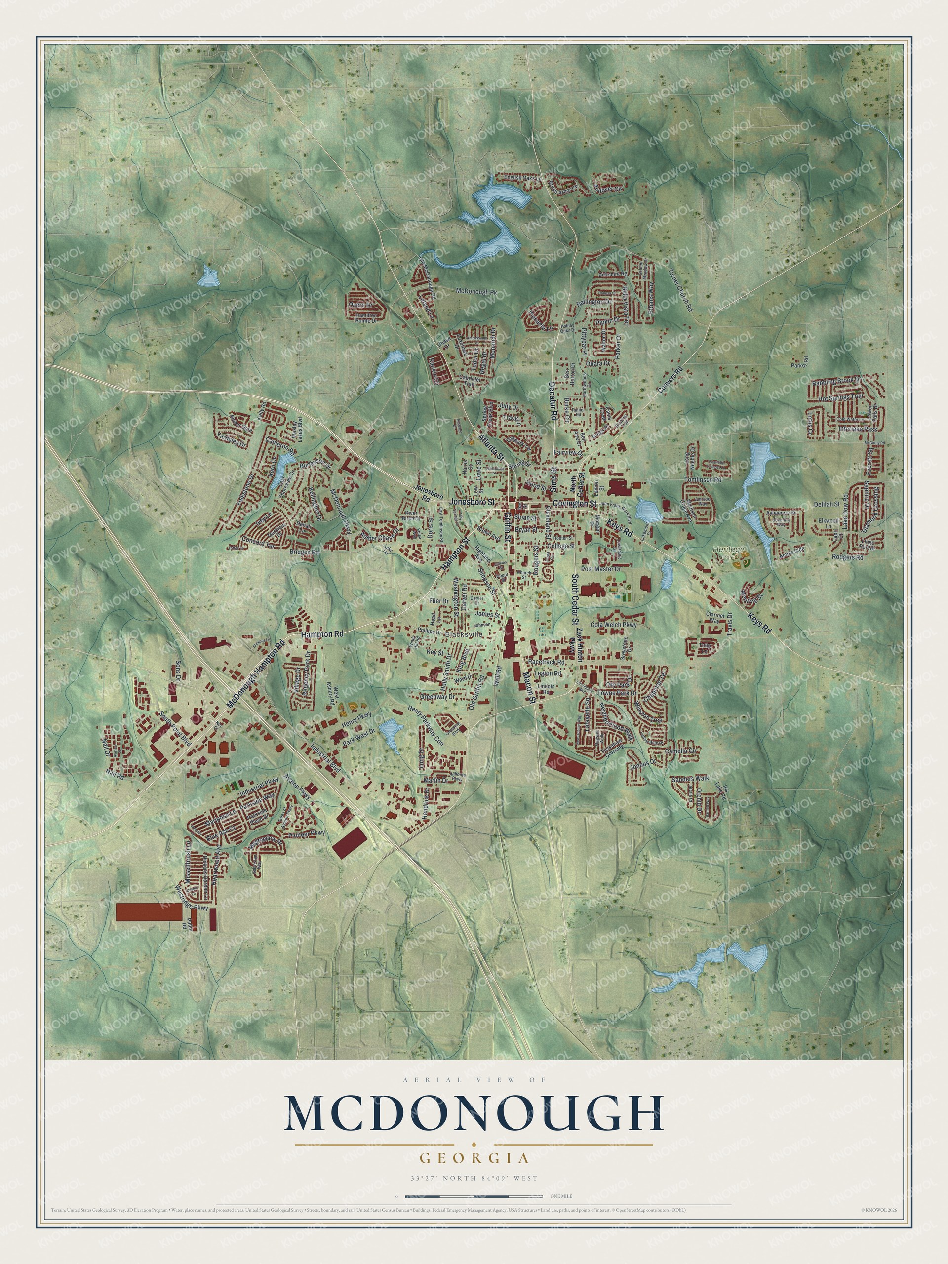
This beautifully detailed map of McDonough, Georgia was created in 2026 using aerial imagery combined with modern topographical, census, street and landmark data. It’s a one-of-a-kind view of McDonough that combines accurate data with a vintage aesthetic. The map shows every building in its true location, many of the roads carry their names, and the shaded topographic relief shows the shape of the land.
Explore an aerial view of McDonough, Georgia
On the map you’ll find Blacksville and Heritage Park, along with Macon Street, Covington Street, Sims Street, McDonough Hampton Road, Decatur Road, and more. If you look closely you can even find your house accurately drawn in its correct location. Zoom in on the preview to look for yours.
Did You Know?
McDonough was incorporated in 1833 as the seat of Henry County. It was named for Thomas McDonough, the naval officer who beat the British on Lake Champlain on September 11, 1814. In 1864 one of Sherman’s divisions came through, destroyed property and burned the court records. That’s from the 1940 WPA guide to Georgia.
Take a closer look at the McDonough map
Names on this map
These names are printed on this map.
Places: Blacksville and Heritage Park.
Streets and roads: Macon Street, Covington Street, Sims Street, McDonough Hampton Road, Decatur Road, Hampton Street, Hampton Road, Griffin Street, Jonesboro Street, South Cedar Street, Keys Road, Atlanta Street.
More street names, A to Z
Ambassador Drive, Amber Chase Drive, Amber Gate, Amble Side, Amrose Way, Andover Circle, Ashley Oaks Drive, Ausband Drive, Avalon Parkway, Avenue Street, Aylesbury Bv, Babbling Brook Drive, Bartlett Way, Bella Vista Terrace, Bellington Drive, Ben Horton Drive, Birkshire Rg, Blue Ash Court, Bon Aire Drive, Bridges Road, Brown Avenue, Brush Arbor Circle, Bryan Street, Burke Circle, Burleyson Drive, Cabriolet Trail, Camella Circle, Cameron Road, Cams Creek, Canosa Court, Capri Court, Carmichael Street, Carver Drive, Carver Road, Chapman Terrace, Charlotte Frances Lane, Chase Drive, Church Street, City Park Drive, City Square Boulevard, Clarinet Way, Cleveland Street, Cola Welch Parkway, Cold Water Lane, College Street, Concord Terrace, Conyers Road, Cosmo Lane, Coventry Way, Crossing Boulevard, Dean Circle, Delilah Street, Denali Lane, Depot Street, Diamond Crossing, Dickons Garden Lane, Doris Street, East Shoreview Drive, East Tomlinson Street, Elkwood Lane, English Oaks Lane, Enisa Way, Ethans Way, Everett Square, Fairview Drive, Flagstaf Walk, Flier Drive, Folkstone Drive, Foxchase Drive, Galveston Way, Gardinia Drive, Golden Meadow Drive, Greenway Drive, Gregs Place, Greystone Drive, Hamilton Pointe Drive, Harkins Street, Harris Street, Head Lane, Heartwood Avenue, Hendrick Drive, Henry Parkway, Henry Parkway Con, Highland Avenue, Holly Smith Drive, Hood Street, Hooten Street, Hot Springs Trail, Ice Street, Industrial Boulevard, Industrial Parkway, Interlake Pass, Iris Lake Road, Ivey Lane, James Street, Jessie Court, John Frank Ward Boulevard, Johnson, Jonesboro Road, Joneus Drive, Judy Drive, Kellington Drive, Kelly Road, Kern Cv, Key Street, King Boulevard, Labonte Parkway, Lafayette Square, Lake Dow Road, Lakemont Drive, Lake Terrace, Legion Road, Leland Lane, Lemon Street, Lewisburg Drive, Lincoln Road, Lingo Port Drive, Long Drive, Long Needle Drive, Lotus Cr, Lower Falls Drive, Lowe Street, Low Street, Madison Grace Avenue, Magnaview Drive, Mariposa Lane, Marlin Drive, McDonough Parkway, McDonough Pk, McGarity Road, Meeting Street, Misselthrush Lane, Monarch Drive, Morgan Drive, Nail Drive, Nail Road, Nec Drive, Neighborhood Walk, New Orleans Way, North Cedar Street, Northwoods Court, Oakpark Terrace, Ohara Drive, Old Griffin Road, Old McDonough Road, Orchid Drive, Overo Drive, Parker Drive, Parker Road, Parkside Place Drive, Parkside Way, Park West Drive, Phillips Drive, Pinnacle Lane, Pioneer Parkway, Pipkin Drive, Pittypat Place, Post Master Drive, Pressley Lane, Pullin Road, Racetrack Road, Rainer Road, Rankin Circle, Regal Drive, Regency Park Drive, Relative Trail, River Birch Drive, Rodgers Road, Rodgers Street, Sanders Walk, Saphire Drive, Shoppes Lane, Simpson Street, Sloan Street, Sons Drive, South Point Boulevard, Spring Creek Boulevard, Spring Street, Toby Springs Lane, Toffee Court, Tomlinson Road, Towne Park Drive, Tracy Lane, Travis Drive, Trees of Avalon Parkway, Tudor Drive, Tulip Lane, Turner Church Road, Tussahaw Crossing, Village Drive, Walton Drive, Ward Drive, Washington Street, Well Road, Wesley Lakes Boulevard, West Asbury Road, Westridge Parkway, Windy Hill Road, Winston Trce, Yardsley Drive, Yellow Pine Drive, Zack Hinton Parkway.
See it on a wall
The McDonough map as a framed print. Swipe for more.


This beautifully detailed map of McDonough makes an attractive addition to your office, library, or den, and it can even be used to teach children the geography and history of the area. It also makes a great gift for anyone with McDonough roots. When you’re done exploring, click here to get your copy of the McDonough map.