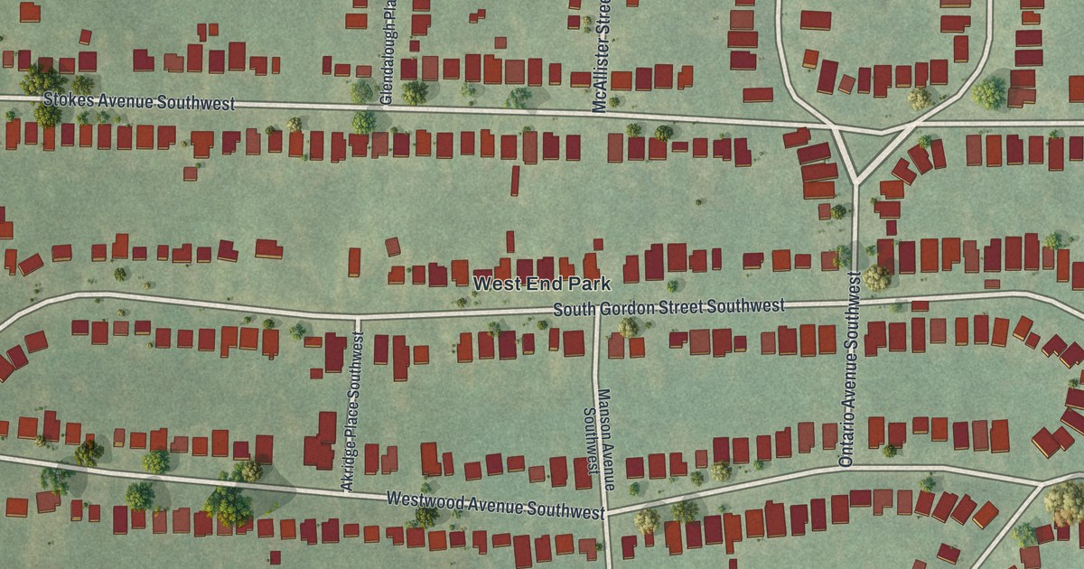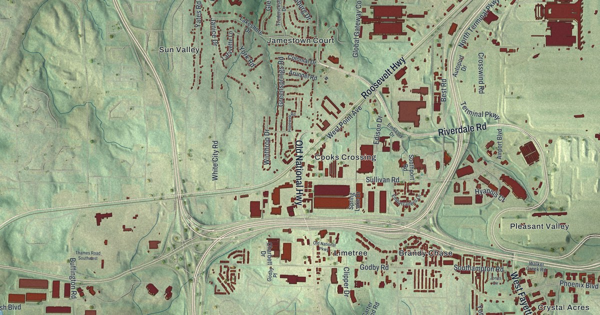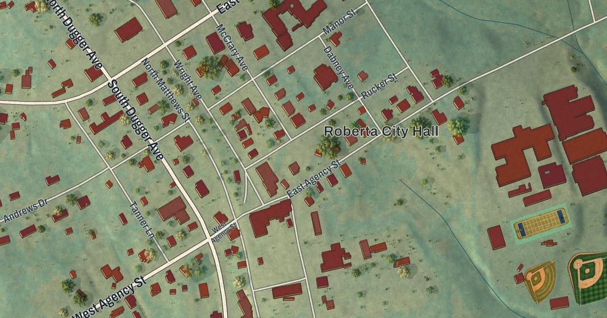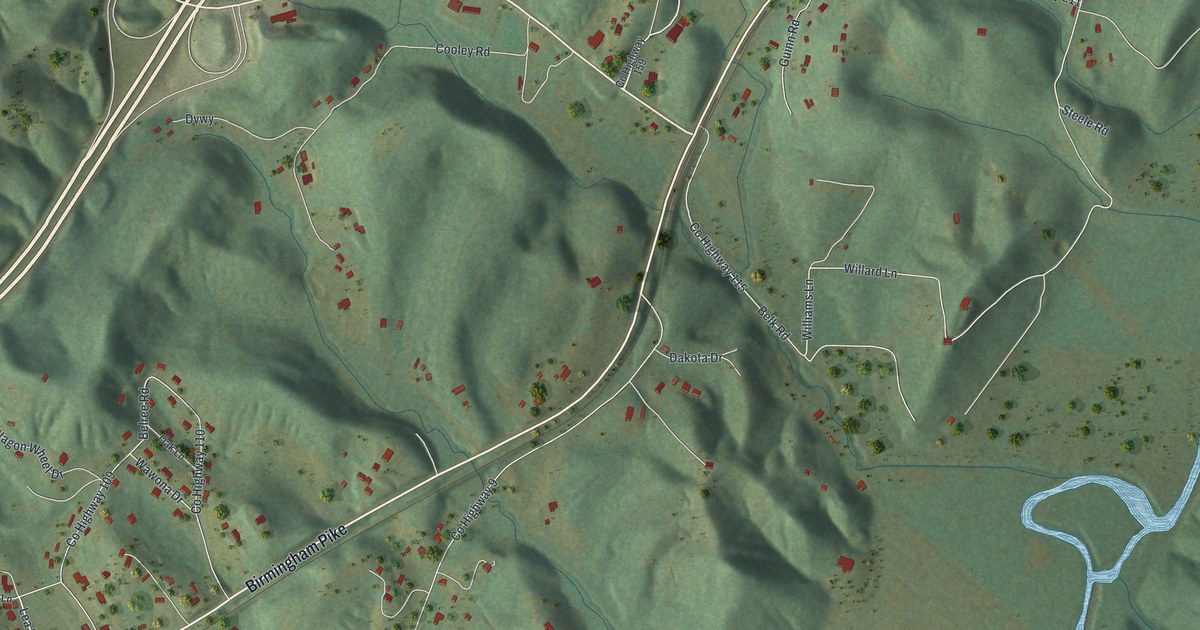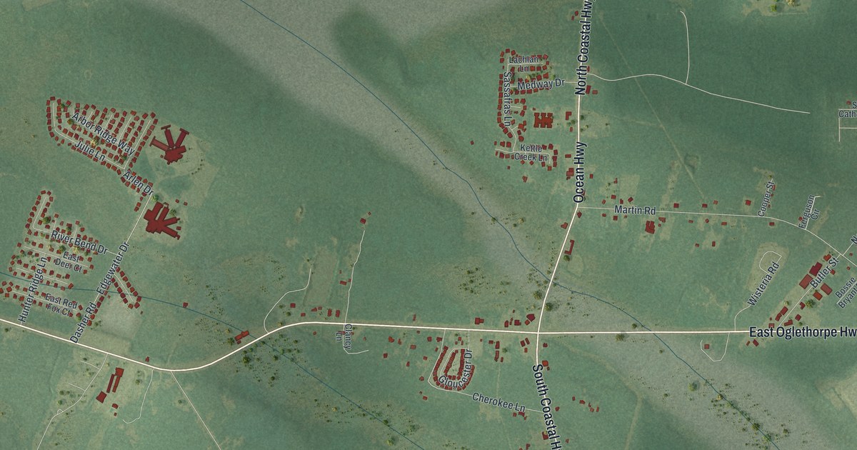
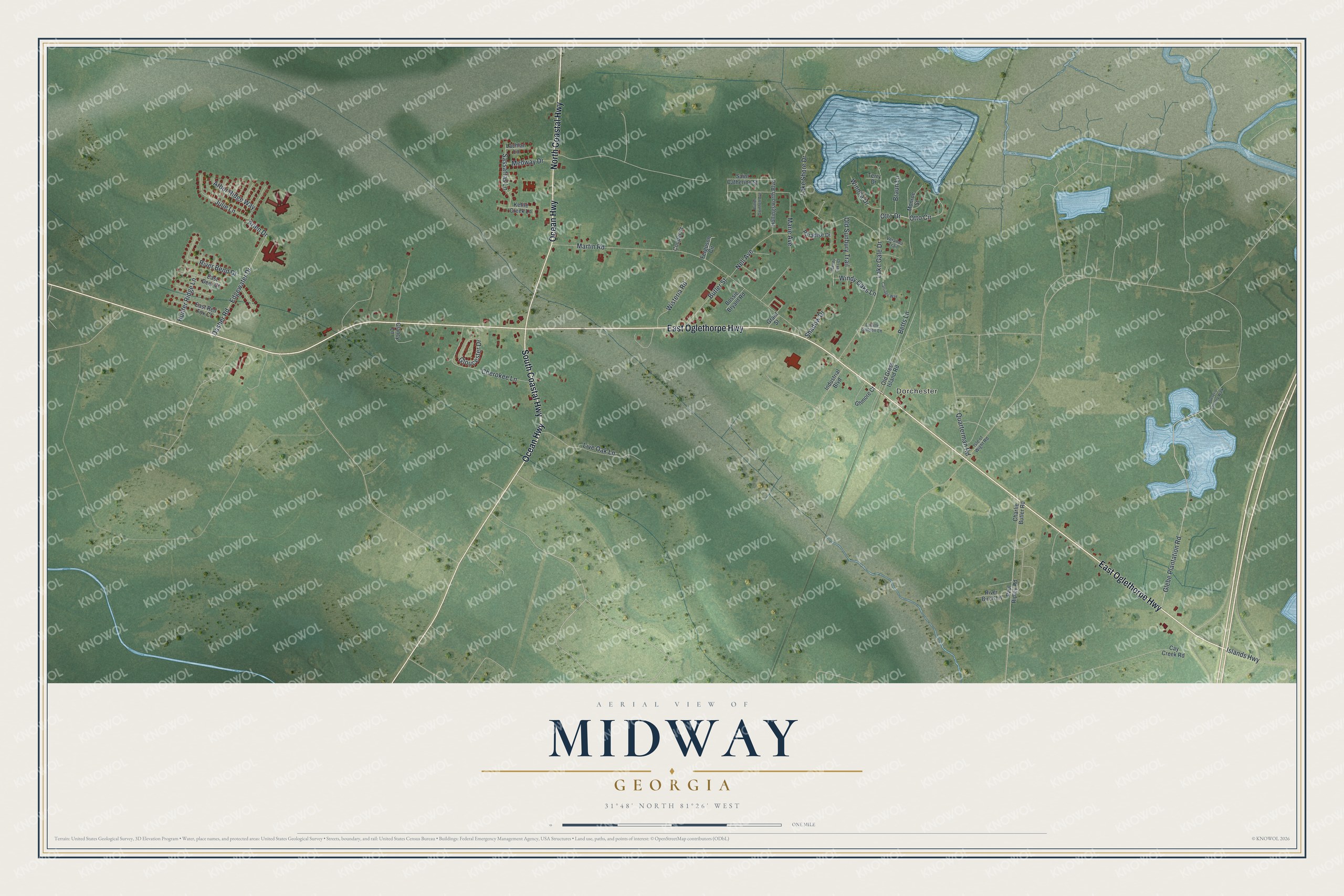
This beautifully detailed map of Midway, Georgia was created in 2026 using aerial imagery combined with modern topographical, census, street and landmark data. It’s a one-of-a-kind view of Midway that combines accurate data with a vintage aesthetic. The map shows every building in its true location, many of the roads carry their names, and the shaded topographic relief shows the shape of the land.
Explore an aerial view of Midway, Georgia
On the map you’ll find Dorchester, along with Oglethorpe Highway, Ocean Highway, Coastal Highway, Glebe Plantation Road, Otto Circle, and more. If you look closely you can even find your house accurately drawn in its correct location. Zoom in on the preview to look for yours.
Did You Know?
In 1752, Puritans from Dorchester, South Carolina, moved to St. John’s Parish in Georgia. They founded several settlements, including the one that became Midway. The colonial council granted them 31,950 acres. Officials wanted many settlers there as a shield against the Creek Indians.
Take a closer look at the Midway map
Names on this map
These names are printed on this map.
Places: Dorchester.
Streets and roads: East Oglethorpe Highway, Ocean Highway, South Coastal Highway, North Coastal Highway, Glebe Plantation Road, Otto Circle, Otto Drive, Martin Road, Lake Gale Drive, Dasher Road, Lake Shore Drive, Edgewater Drive.
More street names, A to Z
Arbor Ridge Way, Arlen Drive, Betts Lane, Bossie Bryant Road, Braun Lane, Butler Street, Button Gwinnett Avenue, Carriage Way, Cay Creek Road, Charlie Butler Road, Cherokee Lane, Clancy Lane, Cooper Street, East Deer Court, East Red Fox Court, Ferguson Circle, Gilmore Court, Gloucester Drive, Grant Street, Hollingsworth Boulevard, Hunter Ridge Lane, Industrial Boulevard, Islands Highway, Isle of Wight Road, Julie Lane, Kettle Creek Lane, Lachlan Lane, Live Oak Lane, Lucille Golden Lane, Marie Avenue, Medway Drive, Monroe Street, Nell Avenue, Old Gress Island Road, Old Sunbury Trail, Paradise Drive, Paul Ripley Road, Purser's Country Walk, Quarterman Road, River Bend Drive, River Birch Lane, Saint Catherine Street, Sassafras Lane, Shadow Drive, Terry Drive, Veranda Trail, Wendy Oaks Court, Windy Oaks Lane, Winoca Drive, Wisteria Road.
See it on a wall
The Midway map as a framed print. Swipe for more.


This beautifully detailed map of Midway makes an attractive addition to your office, library, or den, and it can even be used to teach children the geography and history of the area. It also makes a great gift for anyone with Midway roots. When you’re done exploring, click here to get your copy of the Midway map.