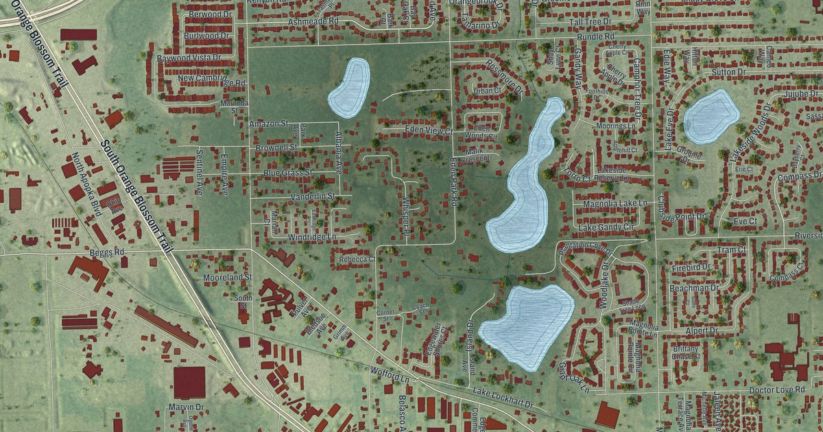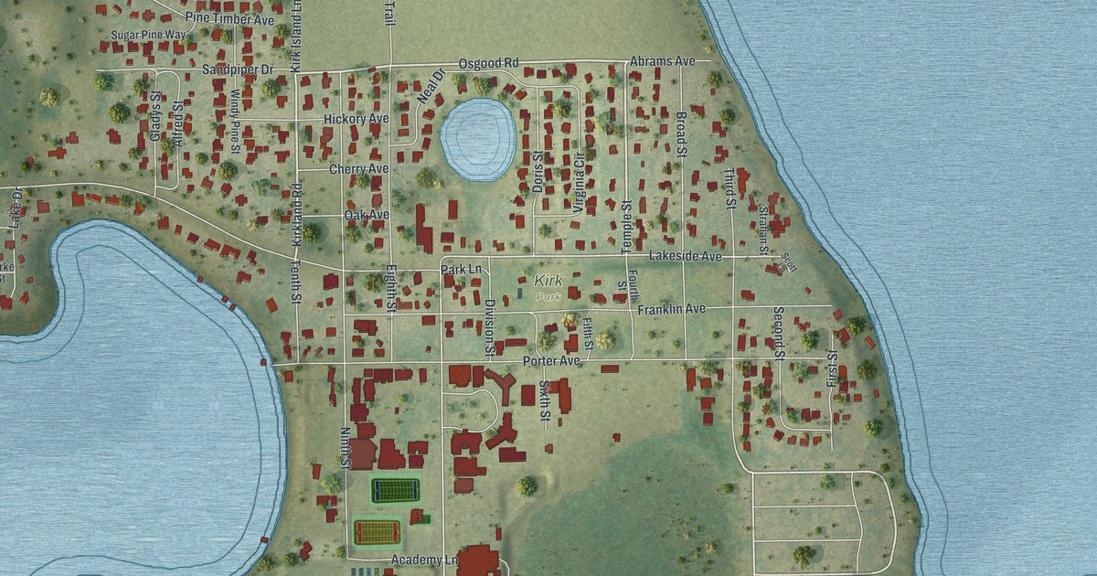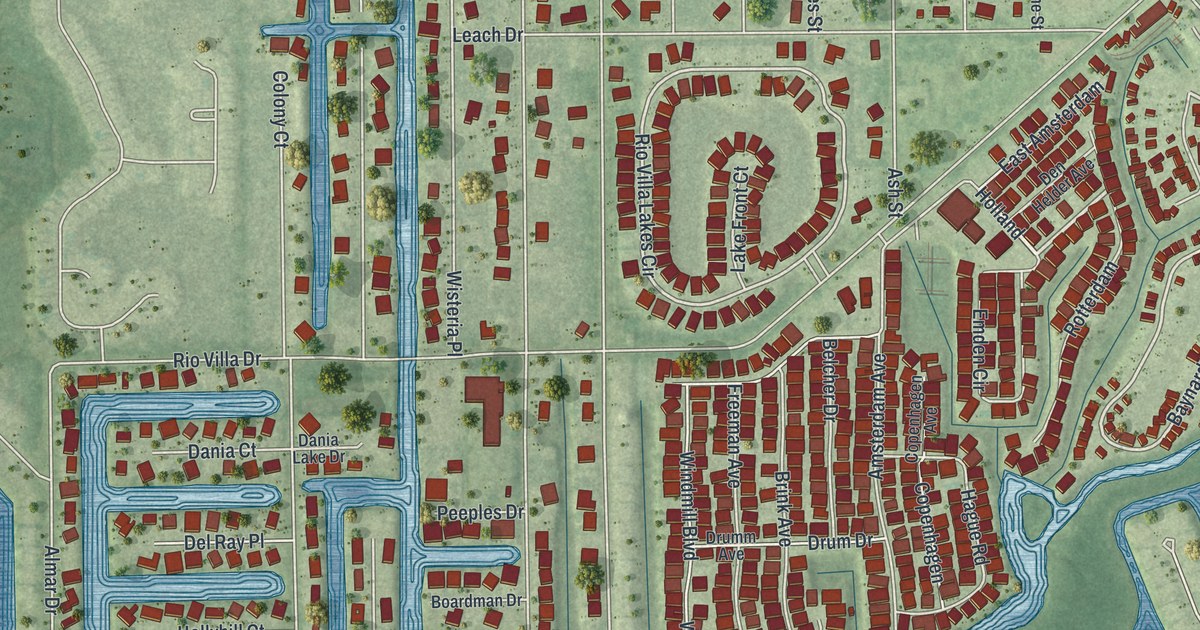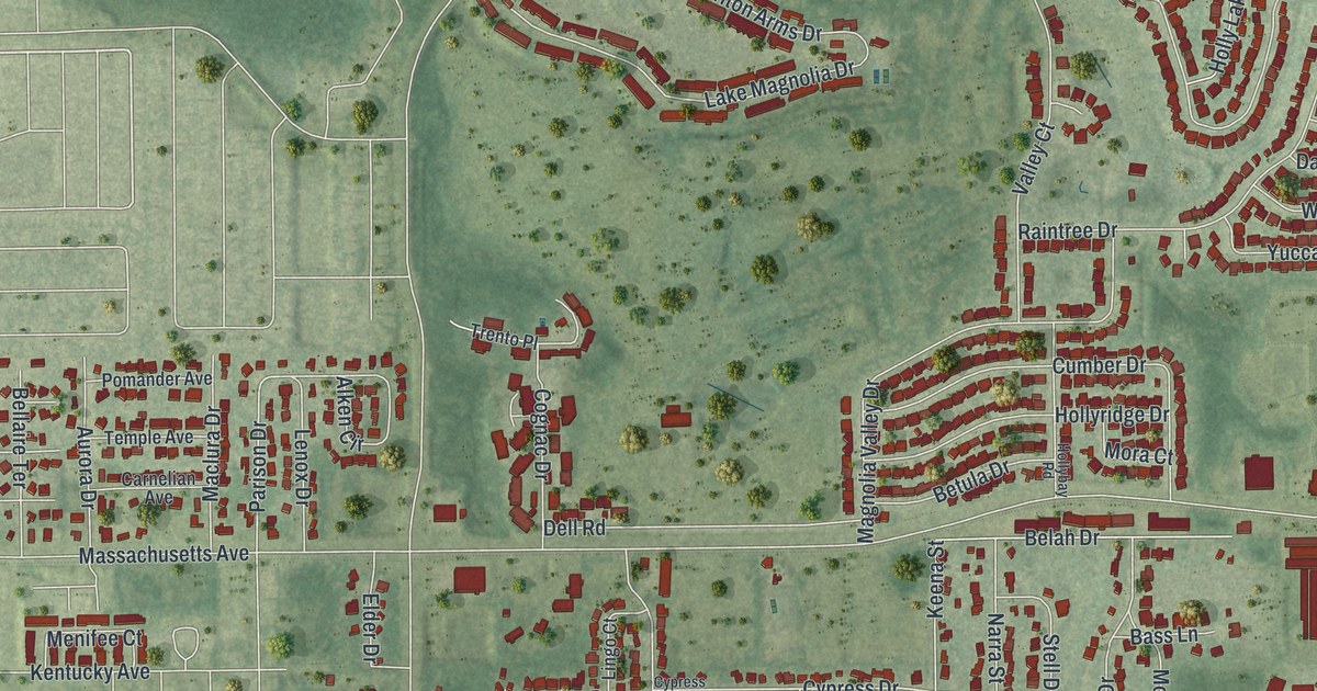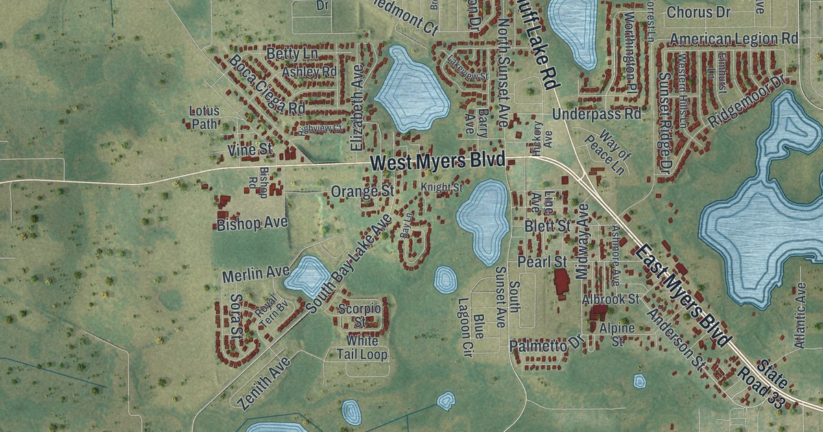
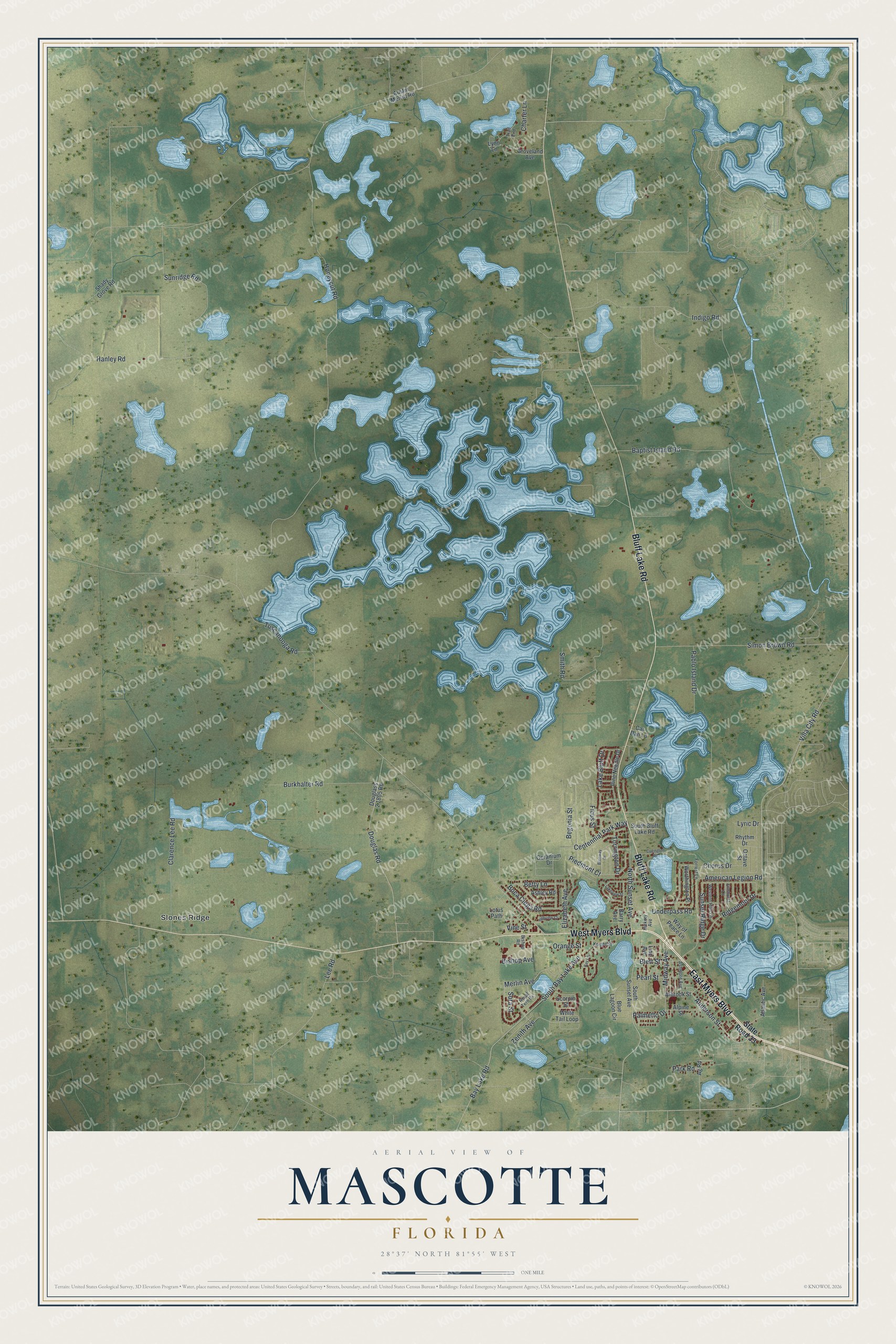
This beautifully detailed map of Mascotte, Florida was created in 2026 using aerial imagery combined with modern topographical, census, street and landmark data. It’s a one-of-a-kind view of Mascotte that combines accurate data with a vintage aesthetic. The map shows every building in its true location, many of the roads carry their names, and the shaded topographic relief shows the shape of the land.
Explore an aerial view of Mascotte, Florida
On the map you’ll find Slones Ridge, along with East Myers Boulevard, Bluff Lake Road, West Myers Boulevard, Villa City Road, Palmetto Drive, Pearl Street, Honeycut Road, Tuscanooga Road, Baptist Island Road, Simon Brown Road, American Legion Road, and more. If you look closely you can even find your house accurately drawn in its correct location. Zoom in on the preview to look for yours.
Did You Know?
The city takes its name from the SS Mascotte, a ship owned by Tampa civic booster Henry B. Plant. It hauled tobacco from Cuba and sailed between Tampa, Key West and Havana from 1886 to 1924. Today the ship appears on the seals of both cities.
Take a closer look at the Mascotte map
Names on this map
These names are printed on this map.
Places: Slones Ridge.
Streets and roads: East Myers Boulevard, Bluff Lake Road, West Myers Boulevard, Villa City Road, Palmetto Drive, Pearl Street, Honeycut Road, Tuscanooga Road, Baptist Island Road, Simon Brown Road, American Legion Road, Bay Lake Road.
More street names, A to Z
Ag Road, Albrook Street, Alpine Street, Anderson Street, Ashley Road, Ashmore Avenue, Atlantic Avenue, Austin Merritt Road, Barry Avenue, Bay Lane, Begonia Street, Betty Lane, Bishop Avenue, Bishop Road, Blett Street, Blue Lagoon Circle, Boca Ciega Road, Brenway Drive, Burkhalter Road, Car Dan Lane, Centennial Park Way, Charter Lane, Chorus Drive, Clarence Lee Road, Covington Road, Douglas Road, Douglass 2 1805 Road, Elizabeth Avenue, Elmhurst Lane, Ficus Street, Forrest Lane, Geranium Drive, Groveland Avenue, Hanley Road, Hickory Avenue, Highview Court, Indigo Road, Knight Street, Lake Bluff Drive, Lakeview Street, Lee Road, Line Avenue, Lotus Path, Lynn Lane, Lyric Drive, Merlin Avenue, Midway Avenue, North Sunset Avenue, Octave Street, Orange Street, Pablo Island Drive, Park Road, Piedmont Court, Pine Needle Drive, Rhythm Drive, Ridgemoor Drive, Royal Tern Bv, Scorpio Street, Shady Grove Road, Smith Road, Sora Street, South Bay Lake Avenue, South Bluff Lake Road, South Sunset Avenue, State Road 33, Sunridge Road, Sunset Ridge Drive, Torrington Drive, Trail End, Underpass Road, Vine Street, Way of Peace Lane, Western Hills Lane, White Tail Loop, Worthington Place, Zenith Avenue.
See it on a wall
The Mascotte map as a framed print. Swipe for more.


This beautifully detailed map of Mascotte makes an attractive addition to your office, library, or den, and it can even be used to teach children the geography and history of the area. It also makes a great gift for anyone who grew up in Mascotte or moved away. When you’re done exploring, click here to get your copy of the Mascotte map.