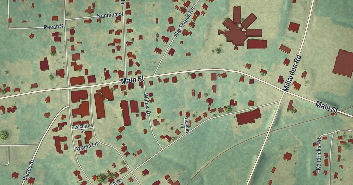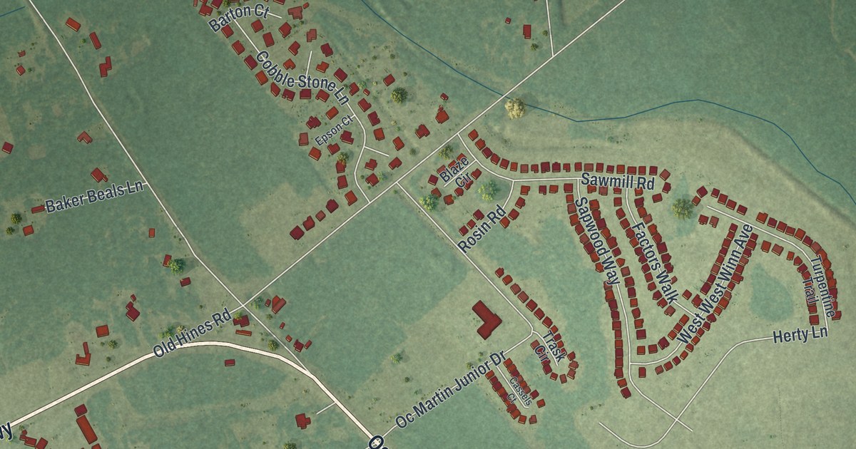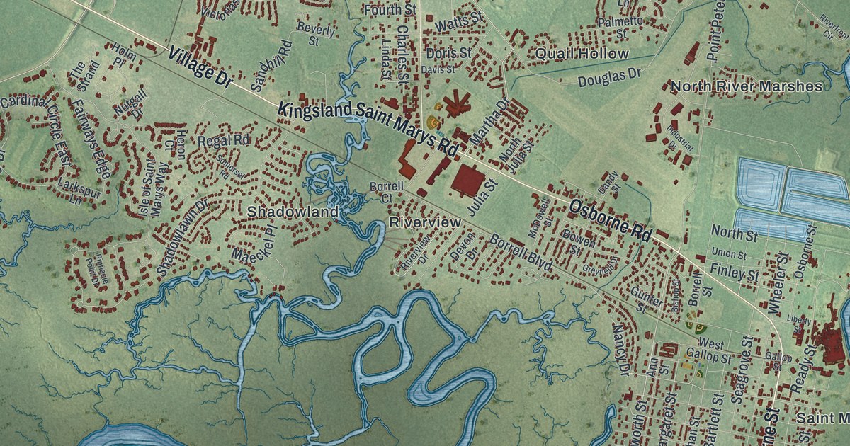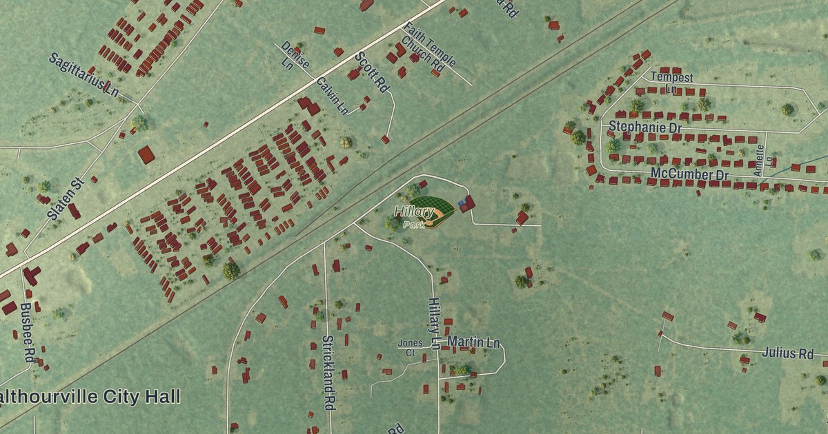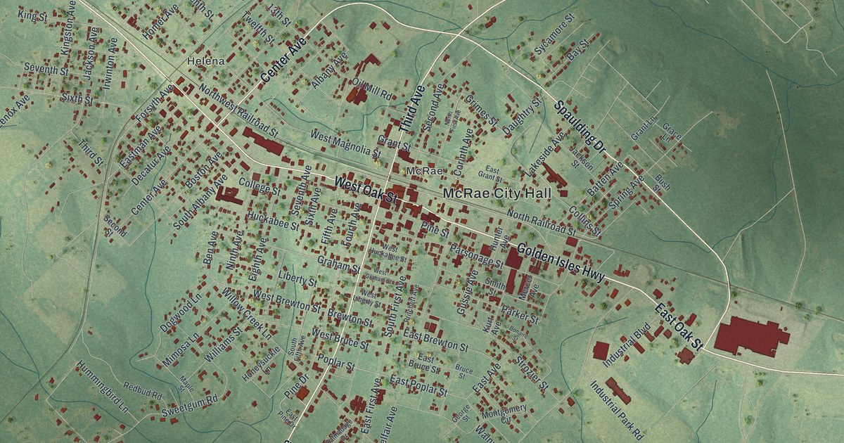
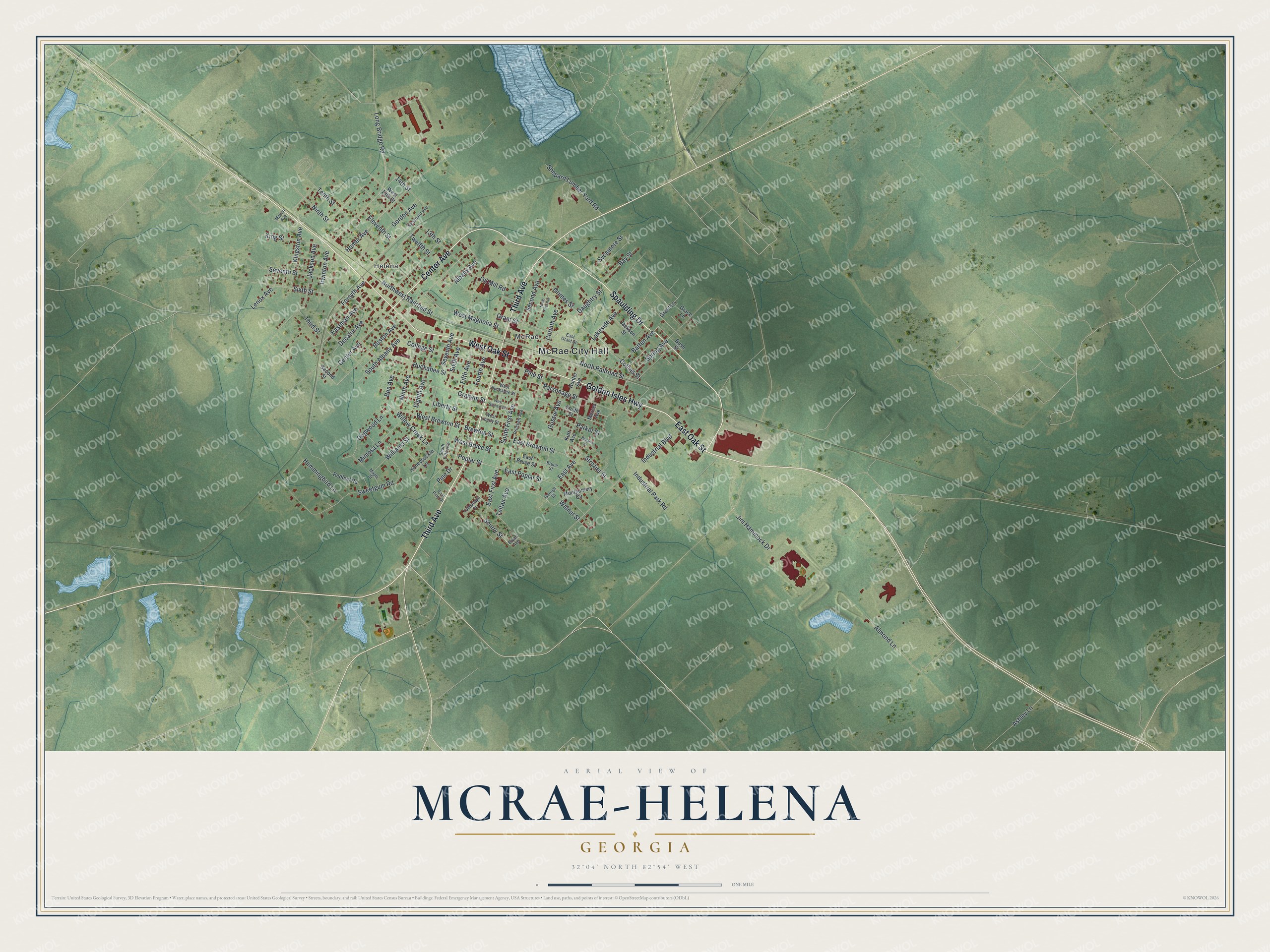
This beautifully detailed map of McRae-Helena, Georgia was created in 2026 using aerial imagery combined with modern topographical, census, street and landmark data. It’s a one-of-a-kind view of McRae-Helena that combines accurate data with a vintage aesthetic. The map shows every building in its true location, many of the roads carry their names, and the shaded topographic relief shows the shape of the land.
Explore an aerial view of McRae-Helena, Georgia
On the map you’ll find McRae City Hall, Helena, and McRae, along with Third Avenue, Spaulding Drive, Center Avenue, Golden Isles Highway, and more. If you look closely you can even find your house accurately drawn in its correct location. Zoom in on the preview to look for yours.
Did You Know?
Downtown McRae-Helena has a Statue of Liberty copy one-twelfth the size of the original. It stands in Liberty Square. The square also holds a replica of the Liberty Bell. A marble memorial there honors county residents who died in military service.
Take a closer look at the McRae-Helena map
Names on this map
These names are printed on this map.
Places: McRae City Hall, Helena and McRae.
Streets and roads: Third Avenue, Spaulding Drive, Center Avenue, Golden Isles Highway, East Oak Street, West Oak Street, Poplar Street, Graham Street, East Poplar Street, East First Avenue, Ben Avenue, Sixth Street.
More street names, A to Z
13th Street, 14th Street, Albany Avenue, Almond Lane, Ashley Lane, Batten Avenue, Bay Street, Bonaire Street, Boston Avenue, Brewton Street, Bruce Street, Bryan Avenue, Bush Street, College Street, Collins Street, Corinth Avenue, Daughtry Street, Decatur Avenue, Dogwood Lane, East Avenue, East Brewton Street, East Bruce Street, East Grant Street, Eastman Avenue, East Pine Drive, Eighth Avenue, Eleventh Street, Fifth Avenue, Forsyth Avenue, Fourth Avenue, George Street, Gordon Avenue, Grace Lane, Grant Lane, Grant Street, Grimes Street, Gussie Avenue, Homer Avenue, Honeysuckle Lane, Huckabee Street, Hummingbird Lane, Hunter Avenue, Industrial Boulevard, Industrial Park Road, Irwinton Avenue, Jackson Avenue, Jackson Street, Jim Hammock Drive, Kingston Avenue, King Street, Kurt Avenue, Lakeside Avenue, Lenox Avenue, Liberty Street, Long Bridge Road, Macon Avenue, Maple Street, Mercer Avenue, Mimosa Lane, Montgomery Circle, Ninth Avenue, Ninth Street, North First Avenue, North Railroad Street, Northwest Railroad Street, Oil Mill Road, Parker Street, Parsonage Street, Pine Drive, Pine Street, Pritchett Avenue, Redbud Road, Scurry Street, Seaboard Avenue, Second Avenue, Second Street, Seventh Avenue, Seventh Street, Shepard Lumber Yard Road, Sixth Avenue, Smith Street, South Albany Avenue, South Fifth Avenue, South First Avenue, Spring Avenue, Strozier Street, Sweetgum Road, Sycamore Street, Talmadage Drive, Telfair Avenue, Tenth Street, Third Street, Twelfth Street, Walnut Street, West 13th Street, West Brewton Street, West Bruce Street, West Graham Street, West Huckabee Street, West Liberty Street, West Magnolia Street, Williams Street, Willow Creek Lane.
See it on a wall
The McRae-Helena map as a framed print. Swipe for more.


This beautifully detailed map of McRae-Helena makes an attractive addition to your office, library, or den, and it can even be used to teach children the geography and history of the area. It also makes a great gift for someone who left McRae-Helena and still calls it home. When you’re done exploring, click here to get your copy of the McRae-Helena map.