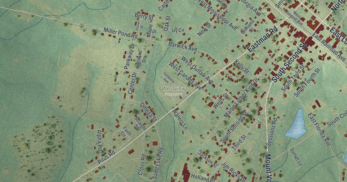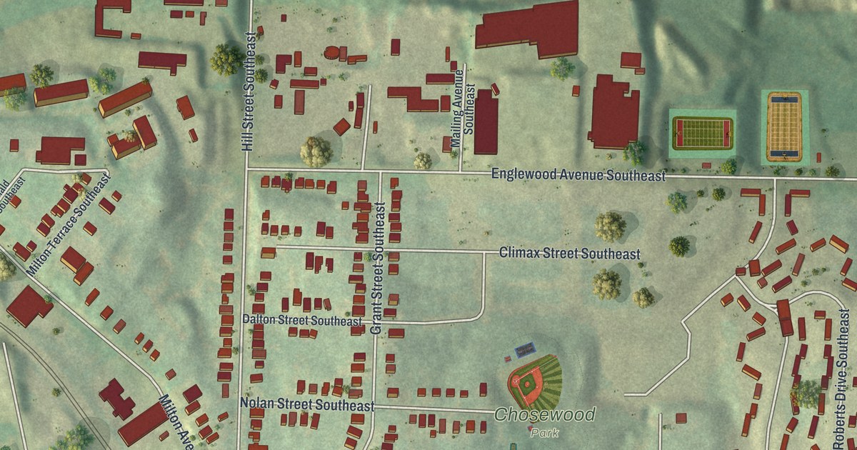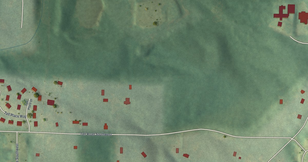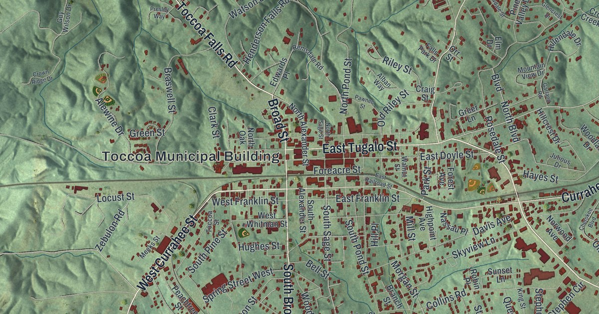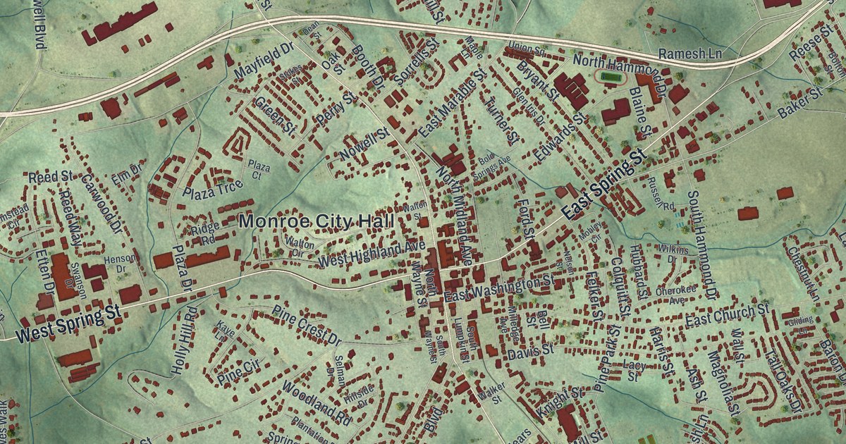
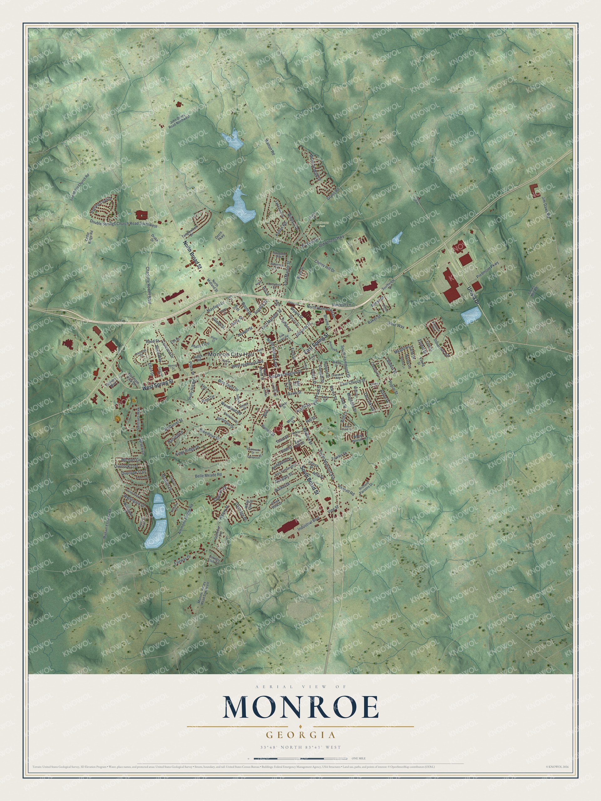
This beautifully detailed map of Monroe, Georgia was created in 2026 using aerial imagery combined with modern topographical, census, street and landmark data. It’s a one-of-a-kind view of Monroe that combines accurate data with a vintage aesthetic. The map shows every building in its true location, many of the roads carry their names, and the shaded topographic relief shows the shape of the land.
Explore an aerial view of Monroe, Georgia
On the map you’ll find Monroe City Hall, Felker Park, and Mathews Park, along with Spring Street, Unisia Drive, Broad Street, Cherry Hill Drive, and more. If you look closely you can even find your house accurately drawn in its correct location. Zoom in on the preview to look for yours.
Did You Know?
Monroe was founded in 1818 to serve as the seat of the new Walton County. The town took its name from James Monroe. It became an incorporated town in 1821 and a city in 1896.
Take a closer look at the Monroe map
Names on this map
These names are printed on this map.
Places: Monroe City Hall, Felker Park and Mathews Park.
Streets and roads: West Spring Street, East Spring Street, Unisia Drive, North Broad Street, South Broad Street, Cherry Hill Drive, Birch Street, Douglas Street, Vine Street, Old Athens Highway, Gratis Road, Baker Street.
More street names, A to Z
Alcovy Street, Amber Trail, Ammons Bridge Road, Armstead Circle, Ash Lane, Ash Street, Atha Street, Bankers Boulevard, Baron Drive, Barrett Street, Belle Meade Road, Bell Street, Blaine Street, Bold Springs Avenue, Bolton Street, Booth Drive, Boulevard, Breedlove Drive, Bridgeport Place, Bryant Street, Carwood Drive, Cedar Lane, Cedar Ridge Road, Charlotte Rowell Boulevard, Cherokee Avenue, Chestnut Lane, Clubside Drive, Colquitt Street, Country Club Drive, Creek View Drive, Davis Street, Dean Street, Deere Parkway, Double Springs Church Road Southwest, Drake Drive, Drive Way, East Church Street, East Fifth Street, East Marable Street, East Marble Street, East Washington Street, Edwards Street, Elm Drive, Etten Drive, Fairway Drive, Felker Street, Fifth Street, Ford Street, Forest Street, Friendship Church Road, Gatewood Drive, Gatewood Way, Glen Iris Drive, Glenwood Drive, Gliding Lane, Golfview Terrace, Gratis Drive, Green Street, Harris Street, Harvest Lane, Henson Drive, Heritage Ridge Drive, Hickory Drive, Highland Creek Drive, Hillside Drive, Hill Street, Holly Hill Road, Hubbard Street, Industrial Boulevard, James Huff Road, Jim Daws Road, John Deere Road Northwest, Kaye Lane, Kelton Road, Kings Ridge Drive, Knight Street, Lacy Street, Lakeview Drive, Landers Street, Lopez Lane, Magnolia Street, Maple Lane, Masters Drive, Mayfield Drive, McDaniel Street, Meadows Farm Drive, Meadow Walk Drive, Mears Street, Michael Circle, Michael Etchison Road, Milledge Avenue, Mill Street, Mobley Circle, Monroe Jersey Road Southeast, Mountain View Drive, Nelson Street, Nicholas Court, Norris Street, North Hammond Drive, North Midland Avenue, North Midland Street, North Wayne Street, Nowell Street, Oakridge Drive, Oak Street, Overlook Crst, Overlook Trail, Pannell Road, Perry Street, Peters, Piedmont Parkway, Pine Circle, Pine Crest Drive, Pine Park Street, Plantation Drive, Plaza Court, Plaza Drive, Plaza Trce, Poplar Street, Radford Street, Ramesh Lane, Reed Street, Reed Way, Reese Street, Richard Parsons Drive, Ridge Road, Robbie Lane, Roosevelt Street, Russell Road, Saint Ives Walk, Selman Drive, Shamrock Drive, Snows Mill Road, Sorrells Street, South Hammond Drive, South Lumpkin Street, South Madison Avenue, Southview Drive, South Wayne Street, Springdale Drive, Spruce Lane, Stokes Street, Stonecreek Bnd, Stonecreek Way, Swanson Drive, Tall Oaks Drive, Tanglewood Drive, Third Street, Thompson Ridge Drive, Towler Street, Turner Street, Union Square, Victory Drive, Walker Drive, Walker Street, Wall Street, Walton Circle, Walton Road, Walton Street, Wellington Drive, Wellington Lane, West Creek Circle, West Fambrough Street, West Highland Avenue, Wheel House Lane, White Oak Drive, Wilkins Drive, Windsor Drive, Woodland Road, Woody Drive, Young Street.
See it on a wall
The Monroe map as a framed print. Swipe for more.


This beautifully detailed map of Monroe makes an attractive addition to your office, library, or den, and it can even be used to teach children the geography and history of the area. It also makes a great gift for someone who left Monroe and still calls it home. When you’re done exploring, click here to get your copy of the Monroe map.