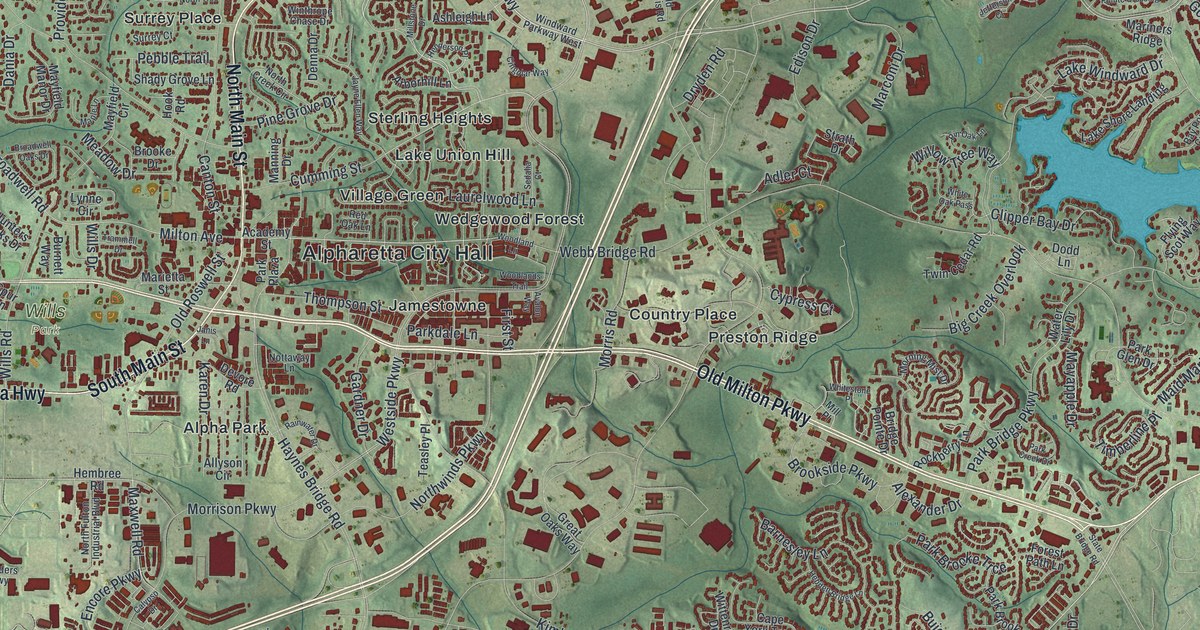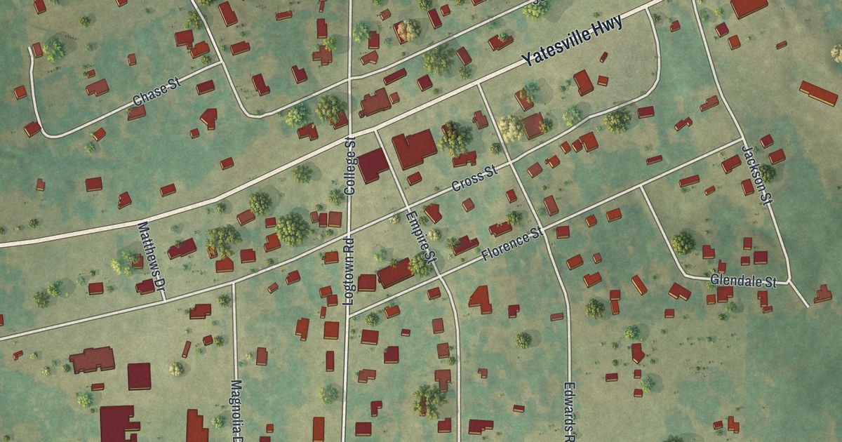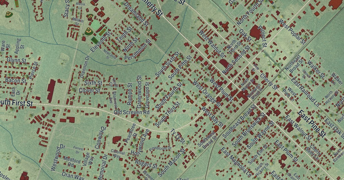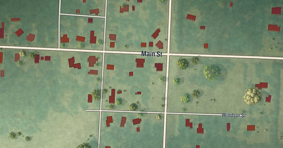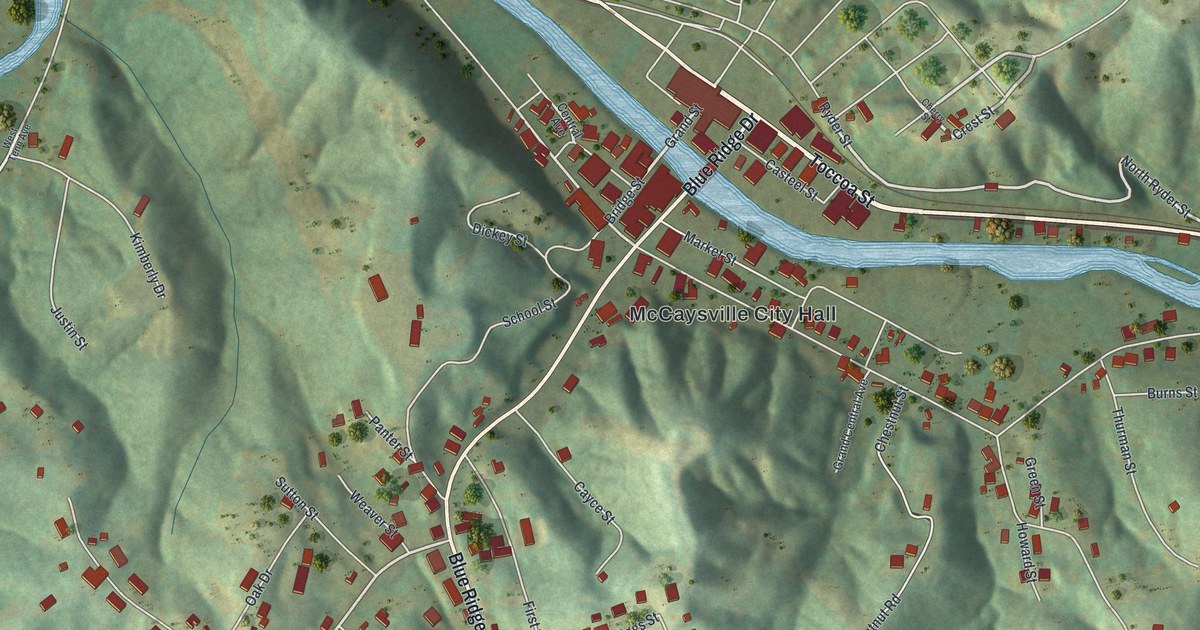
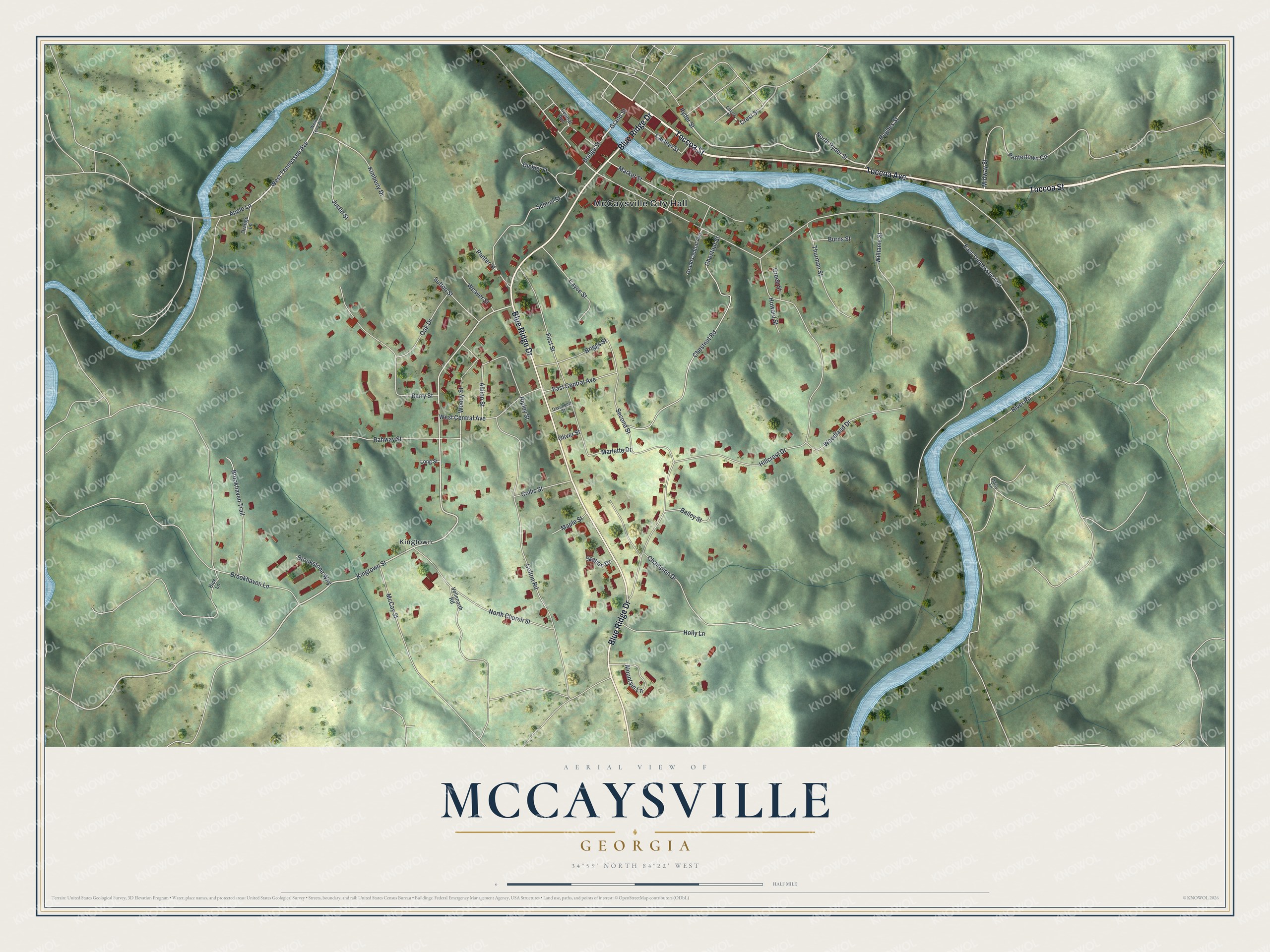
This beautifully detailed map of McCaysville, Georgia was created in 2026 using aerial imagery combined with modern topographical, census, street and landmark data. It’s a one-of-a-kind view of McCaysville that combines accurate data with a vintage aesthetic. The map shows every building in its true location, many of the roads carry their names, and the shaded topographic relief shows the shape of the land.
Explore an aerial view of McCaysville, Georgia
On the map you’ll find McCaysville City Hall and Kingtown, along with Toccoa Avenue, Toccoa Street, Blue Ridge Drive, Ryder Street, and more. If you look closely you can even find your house accurately drawn in its correct location. Zoom in on the preview to look for yours.
Did You Know?
In 1928 McCaysville was the largest town in Fannin County, with 2,166 people. It sat right on the Georgia and Tennessee boundary. Most of its people worked at the copper mines and acid plant across the state line in Copperhill, Tennessee. That’s from the 1928 Soil Survey of Fannin County.
Take a closer look at the McCaysville map
Names on this map
These names are printed on this map.
Places: McCaysville City Hall and Kingtown.
Streets and roads: Toccoa Avenue, Toccoa Street, Blue Ridge Drive, North Ryder Street, Grand Street, Crest Street, Ryder Street, Bridge Street, Kingtown Street, West Tennessee Avenue, East Tennessee Avenue, Hillcrest Drive.
More street names, A to Z
Albion Street, Apple Lane, Bailey Street, Barry Street, Bice Lane, Briggs Street, Brookhaven Lane, Brookhaven Trail, Brookstone Way, Burns Street, Casteel Street, Cayce Street, Central Avenue, Champion Drive, Cherry Street, Chestnut Road, Chestnut Street, Collis Street, Colton Road, Daisy Lane, Davenport Street, Dickey Street, East Central Avenue, First Street, Grand Central Avenue, Green Street, Holly Lane, Howard Street, Hughes Street, Justin Street, Kimberly Drive, Long Street, Maple Street, Market Street, Marlette Drive, McCay Street, Midway Street, Mountain Lane, North Church Street, Oak Drive, Oliver Street, Orange Lane, Panter Street, Pantertown Circle, Rahway Street, Ripley Street, River Road, School Street, Second Street, Station Drive, Sutton Street, Thurman Street, Vellenorth Road, Weaver Street, West Central Avenue, West Tenn Avenue, Williams Street, Woodland Drive, Woody Street.
See it on a wall
The McCaysville map as a framed print. Swipe for more.


This beautifully detailed map of McCaysville makes an attractive addition to your office, library, or den, and it can even be used to teach children the geography and history of the area. It also makes a great gift for anyone who grew up in McCaysville or moved away. When you’re done exploring, click here to get your copy of the McCaysville map.