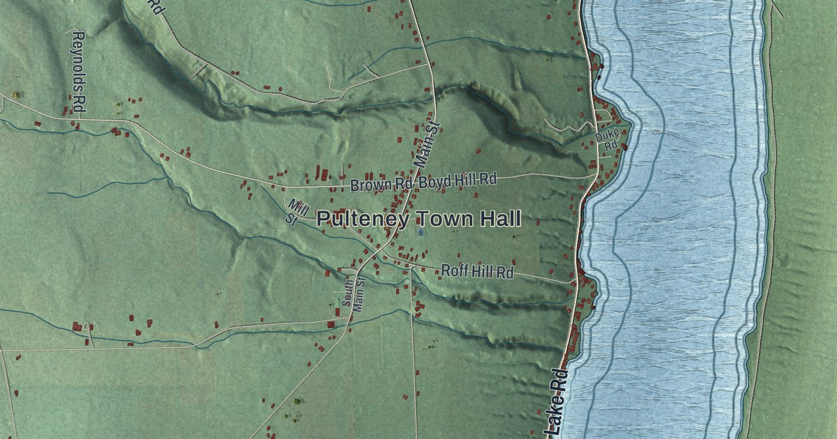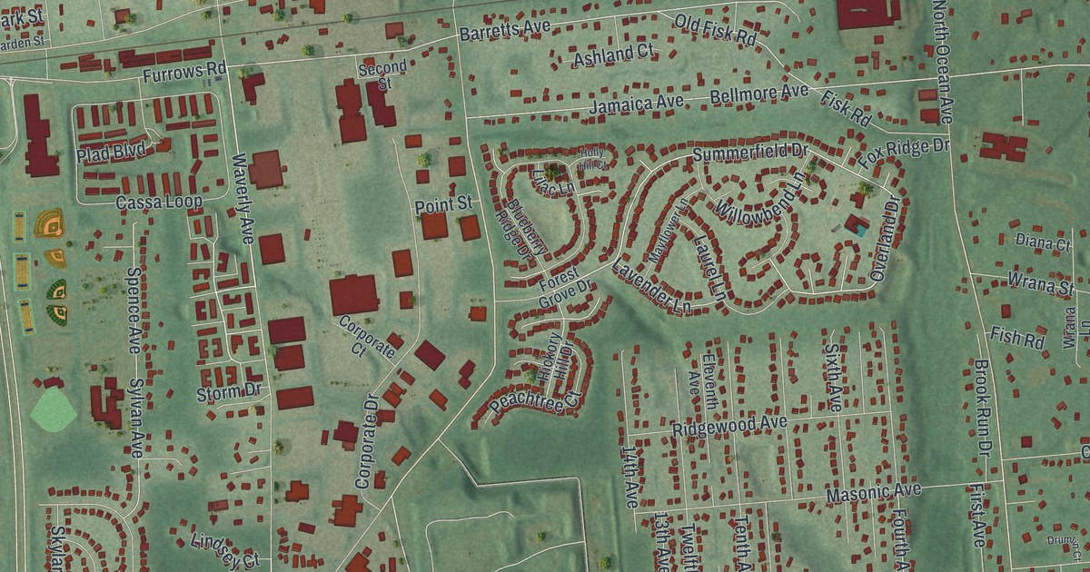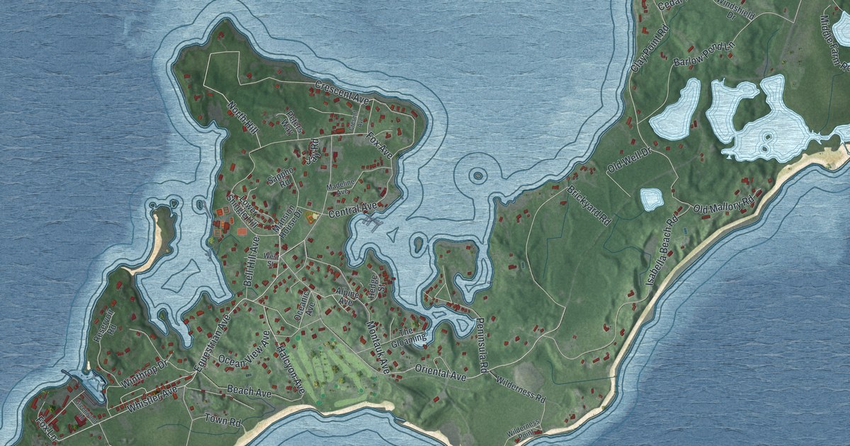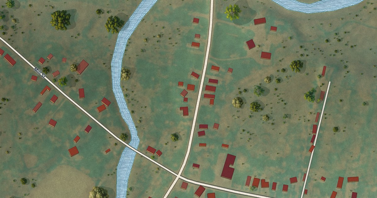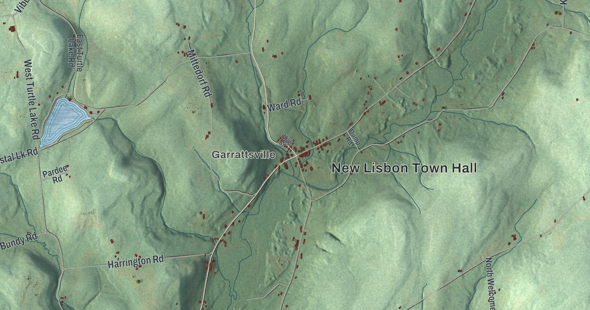
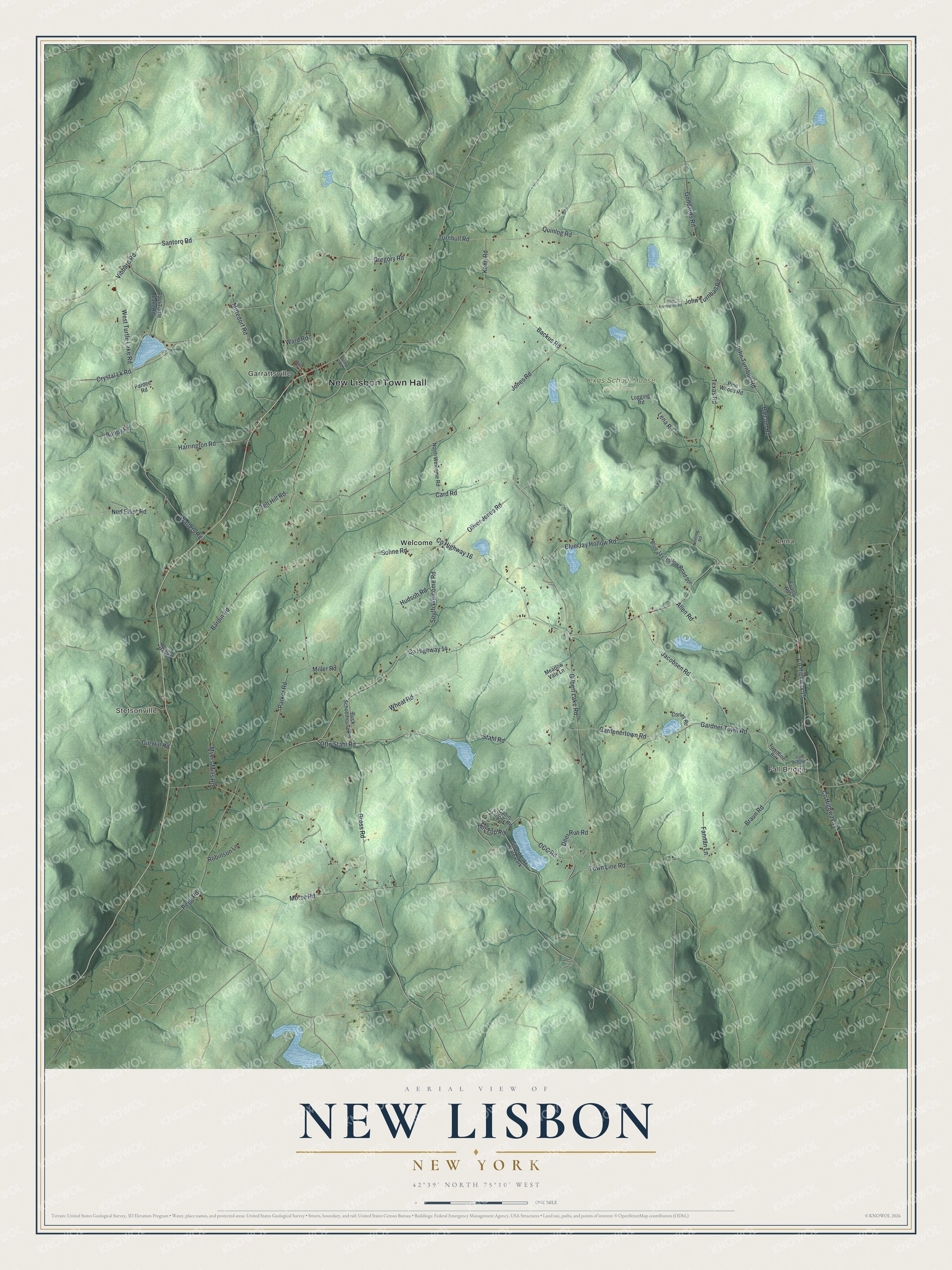
This beautifully detailed map of New Lisbon, New York was created in 2026 using aerial imagery combined with modern topographical, census, street and landmark data. It’s a one-of-a-kind view of New Lisbon that combines accurate data with a vintage aesthetic. The map shows every building in its true location, many of the roads carry their names, and the shaded topographic relief shows the shape of the land.
Explore an aerial view of New Lisbon, New York
On the map you’ll find New Lisbon Town Hall, Fall Bridge, Stetsonville, Garrattsville, Lena, Welcome, and Texas School House State Forest, along with Stahl Road, Otto Stahl Road, Gardenertown Road, Hill Top Road, and more. If you look closely you can even find your house accurately drawn in its correct location. Zoom in on the preview to look for yours.
Did You Know?
Artemas Holdredge made cheese in Garrattsville. He came up with the idea of packing cheese in rectangular boxes instead of round wheel boxes. The new shape made the cheese easier to ship and to store on shelves.
Take a closer look at the New Lisbon map
Names on this map
These names are printed on this map.
Places: New Lisbon Town Hall, Fall Bridge, Stetsonville, Garrattsville, Lena, Texas School House State Forest, Welcome and Gilbert Lake State Park.
Streets and roads: Stahl Road, Otto Stahl Road, Gardenertown Road, Hill Top Road, Jacobsen Road, Miller Road, County Highway 14, Parker Road, Jones Road, County Highway 16, Vibbard Road, Card Road.
More street names, A to Z
Allen Road, Backus Road, Balcom Road, Bardin Road, Bell Hill Road, Blue Jay Hollow Road, Blue Jay Hollow Road Spr, Braun Road, Buck Schoolhouse Road, Bundy Road, Cabin Colony Road, CCC Road, Corley Road, County Highway 11, County Highway 15, Crystal Lk Road, Deer Run Road, Dump Road, East Turtle Lake Road, Evans Road, Falls Bridge Road, Fannan Lane, Gardner Town Road, Gilbert Lake Road, Gill Hill Road, Goddards Road, Gregory Road, Gross Road, Harrington Road, High Street, Hudson Road, John Harrington Road, John Turnball Road, John Turnbull Road, Kane Road, Lena Road, Logging Road, Meadow Vale Lane, Meyers Mills Road, Mittedorf Road, Morse Road, Myers Mills Road, Ned Elliot Road, Neering Road, North Welcome Road, Oliver Jones Road, Pardee Road, Pegg Road, Pine Woods Road, Quinlog Road, Robinson Lane, Santoro Road, Sohne Road, South Welcome Road, Texas Road, Town Line Road, Townline Road, Turnbull Road, Walters Road, Ward Road, West Turtle Lake Road, Wheat Road.
See it on a wall
The New Lisbon map as a framed print. Swipe for more.


This beautifully detailed map of New Lisbon makes an attractive addition to your office, library, or den, and it can even be used to teach children the geography and history of the area. It also makes a great gift for someone who left New Lisbon and still calls it home. When you’re done exploring, click here to get your copy of the New Lisbon map.