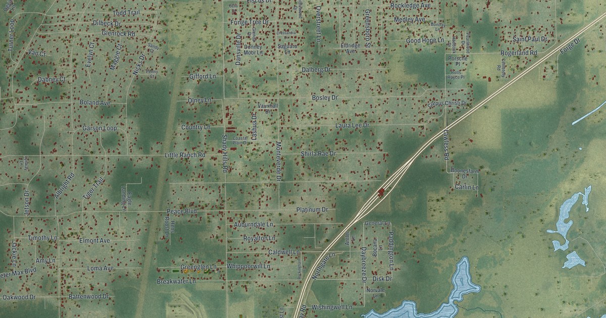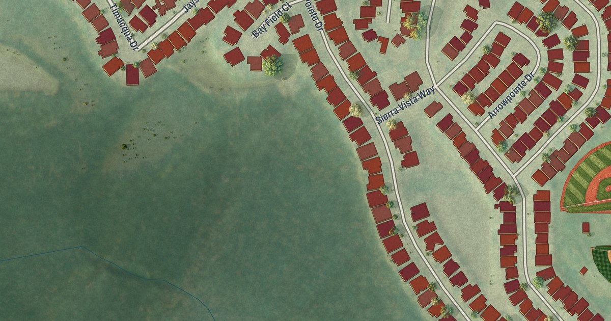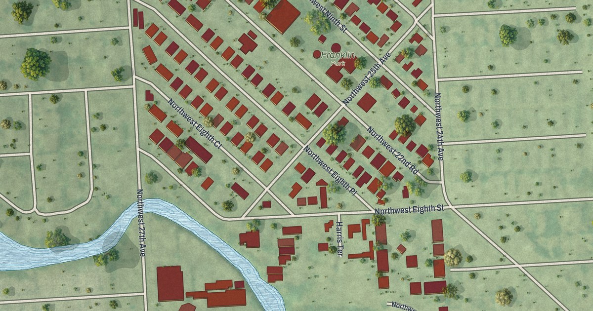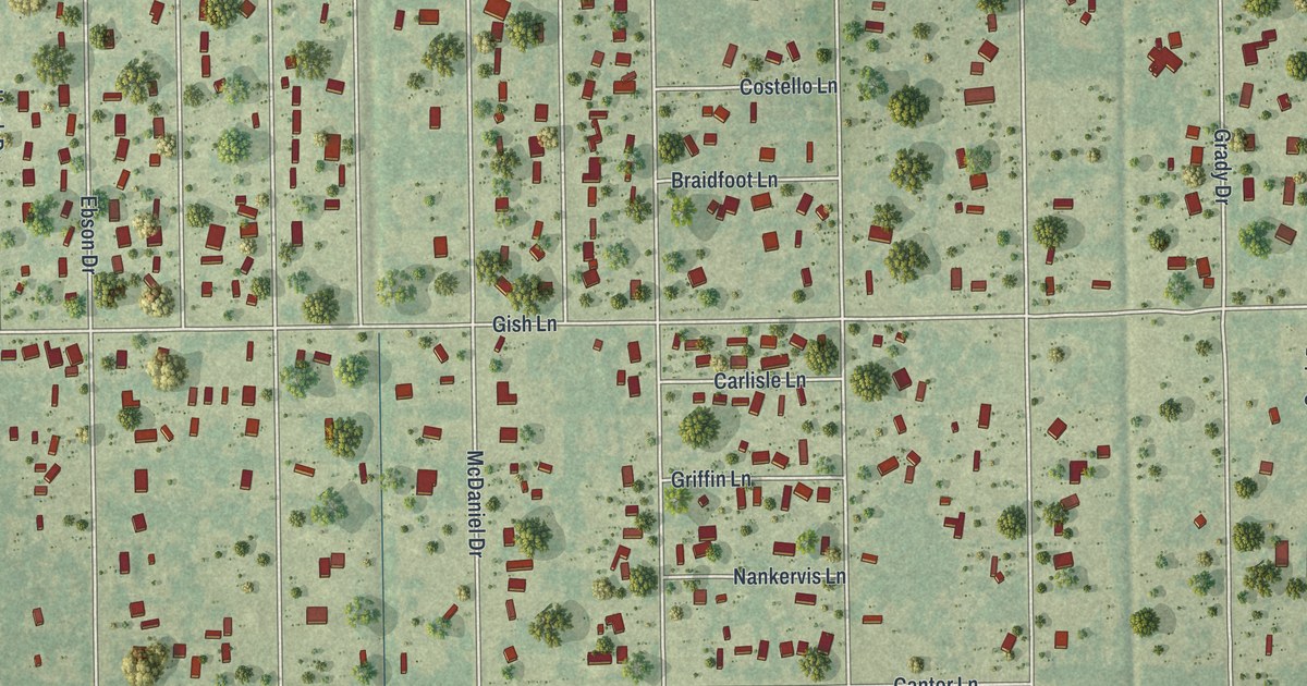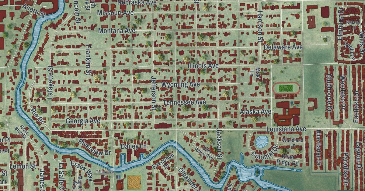
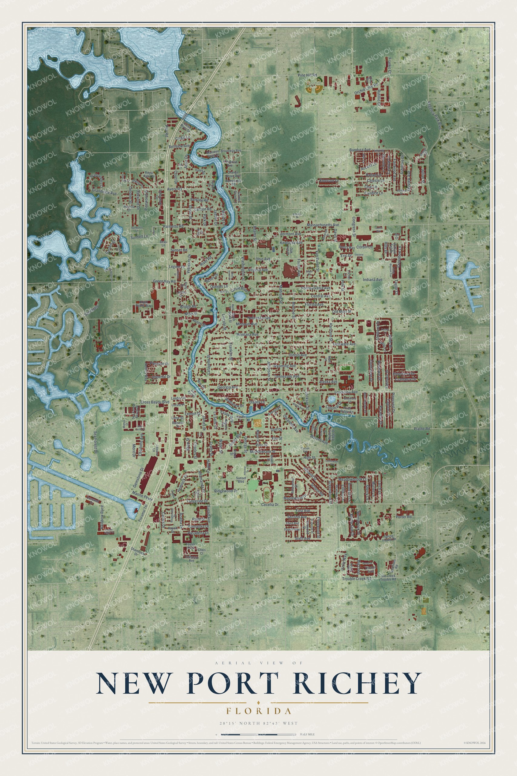
This beautifully detailed map of New Port Richey, Florida was created in 2026 using aerial imagery combined with modern topographical, census, street and landmark data. It’s a one-of-a-kind view of New Port Richey that combines accurate data with a vintage aesthetic. The map shows every building in its true location, many of the roads carry their names, and the shaded topographic relief shows the shape of the land.
Explore an aerial view of New Port Richey, Florida
On the map you’ll find Pinehill Park, along with Main Street, Louisiana Avenue, Trouble Creek Road, Meadowbrook Lane, Rio Drive, Celeste Lane, Wilds Drive, Grand Boulevard, Madison Street, Congress Street, River Road, and more. If you look closely you can even find your house accurately drawn in its correct location. Zoom in on the preview to look for yours.
Did You Know?
Gene Sarazen, one of the top golfers of the 1920s, built a home in New Port Richey. He came up with the modern sand wedge while working in a garage in the city. Silent film star Thomas Meighan also built a large riverfront home there in 1928.
Take a closer look at the New Port Richey map
Names on this map
These names are printed on this map.
Places: Pinehill Park.
Streets and roads: Main Street, Louisiana Avenue, Trouble Creek Road, Meadowbrook Lane, Rio Drive, Celeste Lane, Wilds Drive, Grand Boulevard, Madison Street, Congress Street, River Road, Illinois Avenue.
More street names, A to Z
Accent Lane, Acorn Street, Adams Street, Alaska Avenue, Allamanda Drive, Amy Lane, Anderson Street, Antrim Street, Ashmore Drive, Aspen Street, Astor Drive, Avery Road, Azalea Drive, Ballad Lane, Balsam Street, Bandura Avenue, Bank Street, Beach Street, Beau Lane, Bellview Avenue, Berkley Road, Big Loop, Blue Harbor Drive, Bougenville Drive, Bridge Road, Brightwaters Court, Broadway Avenue, Brookside Lane, Cactus Drive, Camelia Drive, Candice Lane, Carlton Road, Carly Drive, Carnival Lane, Casswell Drive, Cecelia Drive, Cedar Lane, Central Avenue, Char Lane, Charles Street, Charlotte Avenue, Cheri Court, Circle Boulevard, Clubhouse Drive, Colonial Drive, Conniewood Square, Corbin Lane, Corson Avenue, Cotee River Drive, Court Drive, Crafts Street, Cranberry Drive, Cross Bayou Boulevard, Crossbow Lane, Dailey Lane, Davis Street, Deep Lagoon Lane, Delaware Avenue, Demure Lane, Dogwood Street, Drinkard Drive, Eastlake Drive, Edgewater Drive, Elderberry Drive, Elmhurst Drive, Elm Street, Elmwood Street, Embassy Avenue, Emerson Drive, Eric Drive, Essex Way, Euclid Avenue, Evies Way, Executive Drive, Fairwood Avenue, Fifeshire Lane, First Avenue, Fleetwood Street, Floramar Terrace, Florida Avenue, Foley Square, Forest Avenue, Foster Boulevard, Fourth Avenue, Franklin Street, Franko Court, Garden Drive, Garden Grove Lane, Gemstone Drive, George Street, Georgia Avenue, Glen Hollow, Grandview Avenue, Graston Drive, Green Key Road, Green Street, Greenwood Street, Gulf Drive, Hanff Lane, Harrison Street, Hemlock Drive, High Street, Hillcrest Drive, Hills Drive, Hob Lane, Homecrest Road, Ian Court, Idlewild Street, Imperial Drive, Indiana Avenue, Jackson Street, James Street, Janczlik Drive, Jasmin Drive, Jefferson Street, Julian Street, Justin Drive, Kapok Drive, Kelsey Lane, Kentucky Avenue, Kenwood Avenue, Lafayette Street, Lagoon Drive, Lamprey Lane, Larch Lane, La Salle Court, Legion Place, Leisure Lane, Lemon Street, Lillilea Lane, Lime Street, Lincoln Street, Linder Place, Locust Place, Magnolia Way, Maki Lane, Manatee Point Drive, Mandy Lane, Maple Street, Maplewood Drive, Marine Parkway, Massachusetts Avenue, Meadowlane Street, Meadowlark Lane, Mengi Circle, Merit Drive, Missouri Avenue, Monroe Street, Montana Avenue, Mount Vernon Street, Muriel Lane, Myrtle Oak Drive, Nebraska Avenue, Nellie's Way, Oak Hill Drive, Oak Ridge Avenue, Oakwood Drive, Oelsner Street, Ohio Avenue, Old Creek Trouble Road, Old Main Street, Oleander Avenue, Orange Blossom Trail, Orange Grove Avenue, Orchid Lake Road, Osprey Lane, Palm Drive, Palmetto Road, Paradise Drive, Park Drive, Pasadena Drive, Pennsylvania Avenue, Petunia Court, Pier Road, Pinecrest Drive, Pine Hill Road, Pine Street, Pinewood Drive, Plathe Road, Pleasant Place, Poinsettia Drive, Polk Street, Porter Road, Queens Lane, Rainbow Race, Regency Park Boulevard, Remus Drive, Richey Drive, Ridgewood Drive, River Bluff Drive, River Ridge Road, Riverview Drive, Rosewood Drive, Royal Palm Drive, Royal Palms Way, Rutillio Court, Sanctuary, Sand Castle Drive, Scharabok Lane, School Road, Sea Forest Beach Drive, Sea Forest Drive, Second Avenue, Sentry Way, Shamrock Drive, Shaw Street, Sherry Lane, Silver Drive, Sims Lane, Sixth Avenue, Skyview Avenue, South Bank Street, Spring Flower Drive, Square Rigger Court, Stork Court, Sunbelt Lane, Sunburst Lane, Sundew Lane, Sunlit Lane, Sunnybrook Drive, Sunset Boulevard, Sunset Road, Tangelo Drive, Tangerine Drive, Tarpon Lane, Tarry Lane, Taylor Court, Tennessee Avenue, Thicket Trail, Third Avenue, Tidalwave Drive, Tonetta Way, Trichel Lane, Tropic Drive, Uzzle Way, Van Buren Street, Ventura Drive, Vermont Avenue, Veterans Drive, Virginia Avenue, Voorhees Road, Wahoo Court, Warren Avenue, Washington Street, Waters Edge Drive, Water Street, Westlake Drive, William Tell Drive, Woodland Lane, Wyoming Avenue.
See it on a wall
The New Port Richey map as a framed print. Swipe for more.


This beautifully detailed map of New Port Richey makes an attractive addition to your office, library, or den, and it can even be used to teach children the geography and history of the area. It also makes a great gift for someone who left New Port Richey and still calls it home. When you’re done exploring, click here to get your copy of the New Port Richey map.