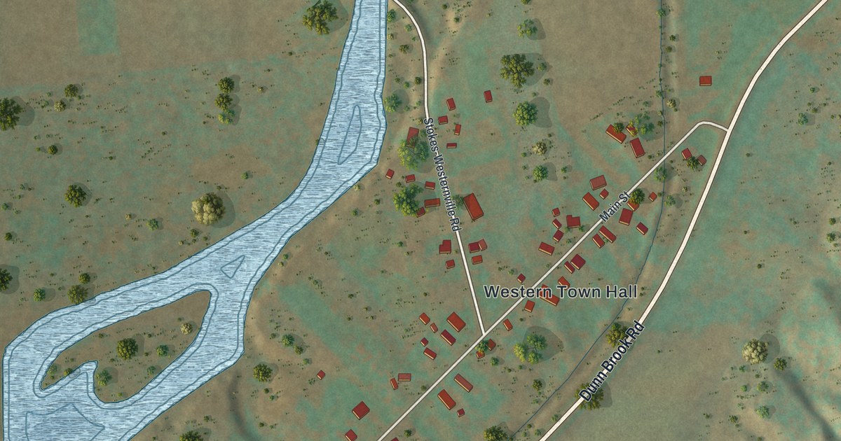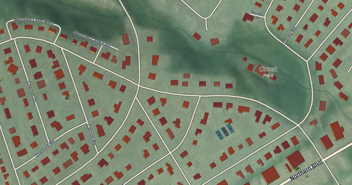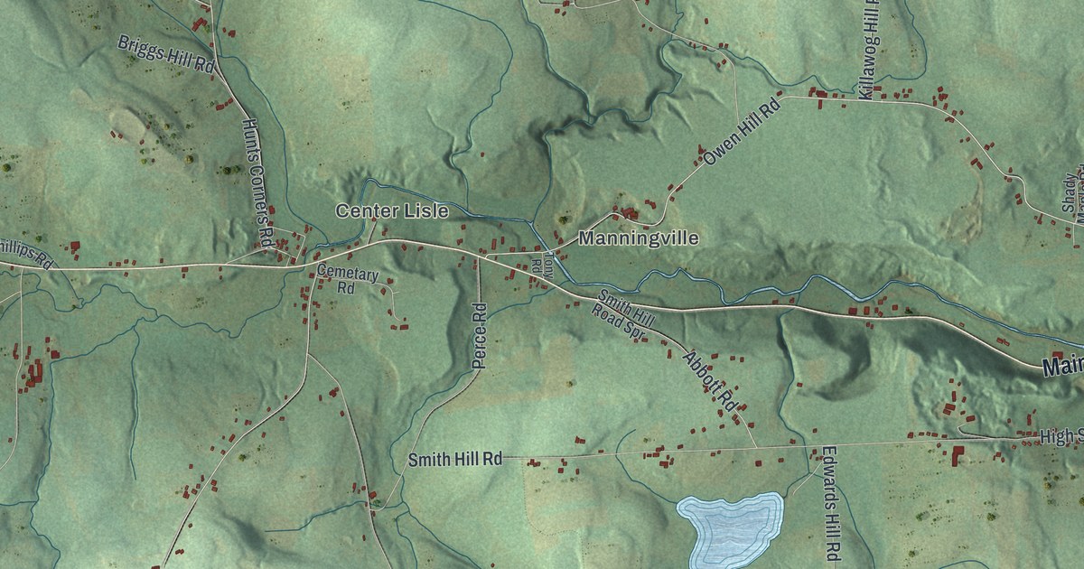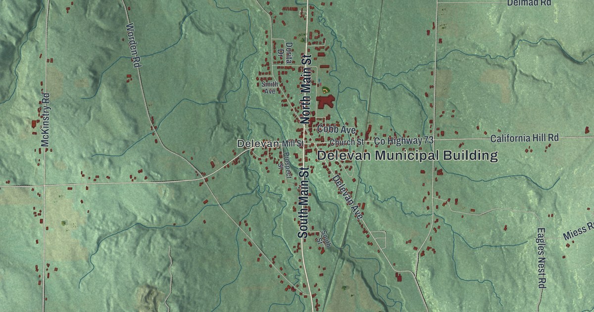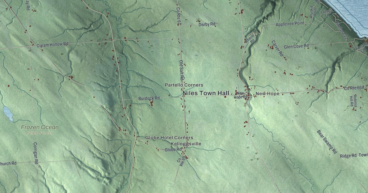
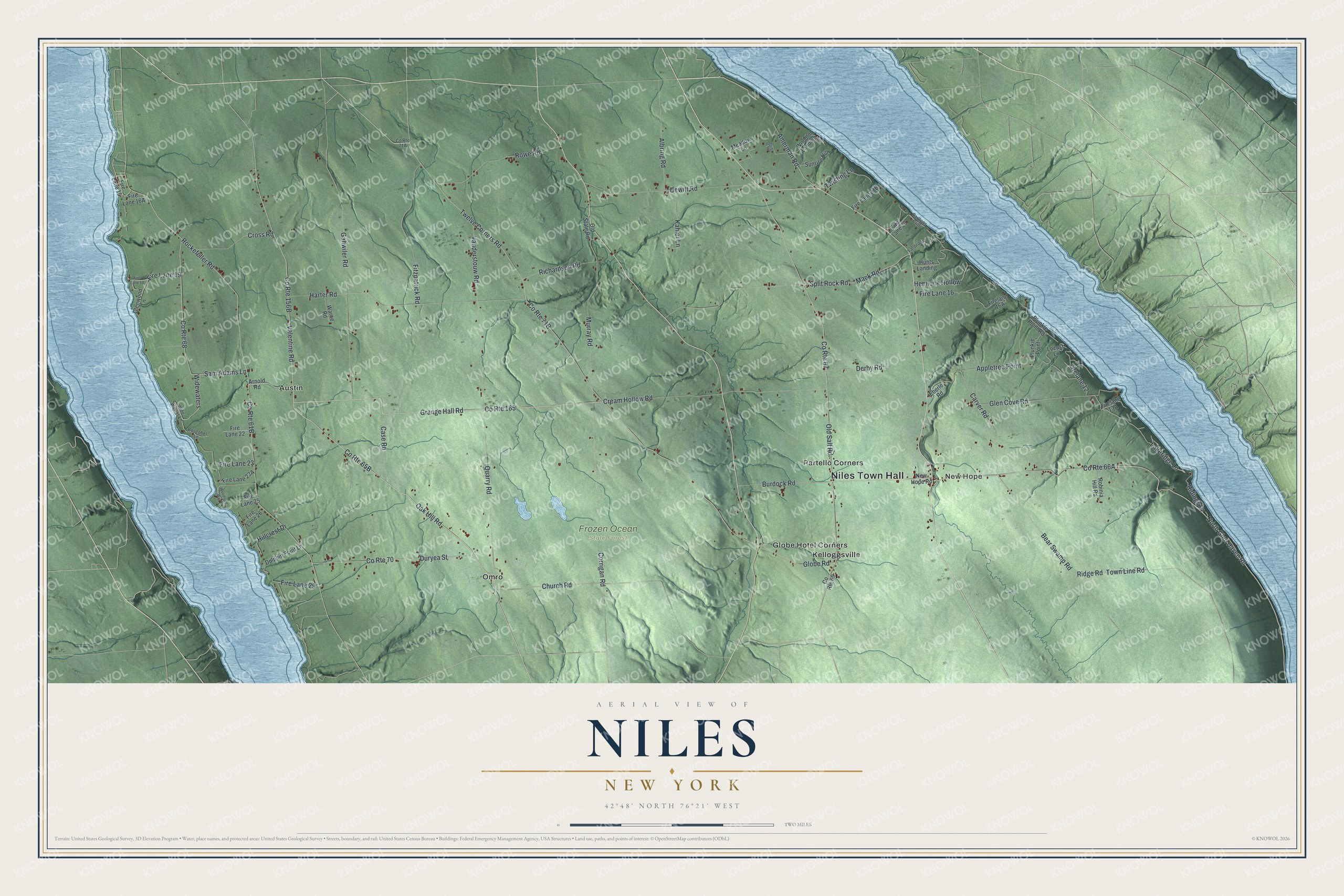
This beautifully detailed map of Niles, New York was created in 2026 using aerial imagery combined with modern topographical, census, street and landmark data. It’s a one-of-a-kind view of Niles that combines accurate data with a vintage aesthetic. The map shows every building in its true location, many of the roads carry their names, and the shaded topographic relief shows the shape of the land.
Explore an aerial view of Niles, New York
On the map you’ll find Niles Town Hall, New Hope, Austin, Globe Hotel Corners, Kelloggsville, Omro, and Frozen Ocean State Forest, along with Oak Hill Road, Valentine Road, Grange Hall Road, Twelve Corners Road, and more. If you look closely you can even find your house accurately drawn in its correct location. Zoom in on the preview to look for yours.
Did You Know?
Niles was formed from the town of Sempronius in 1833. It took its name from Elder Robert Niles, a former pastor of the First Baptist Church of Sempronius. The first settlements in the town were made in 1792. The town lies between Owasco and Skaneateles lakes. That’s from the 1879 History of Cayuga County, New York.
Take a closer look at the Niles map
Names on this map
These names are printed on this map.
Places: Niles Town Hall, New Hope, Frozen Ocean State Forest, Austin, Globe Hotel Corners, Kelloggsville, Omro and Partello Corners.
Streets and roads: Oak Hill Road, Valentine Road, County Route 165, Grange Hall Road, Fire Lane 19, Twelve Corners Road, Fire Lane 23, Old Salt Road, North Glen Haven Road, County Route 67, Hemlock Hollow, Amerman Road.
More street names, A to Z
Albring Road, Appletree Point, Arnold Road, Bear Swamp Road, Boscobel Lane, Burdock Road, Carltons Cliff, Carver Road, Case Road, Church Road, Corrigan Road, County Route 68, County Route 69, County Route 70, Cream Hollow Road, Cross Road, Deer Run, Derby Road, Dewitt Road, Dolphin Point Lane, Duryea Street, Eberle Road, Fallbrook Lane, Firelane 12, Fire Lane 15, Fire Lane 16, Fire Lane 18, Fire Lane 20, Fire Lane 22, Fire Lane 25, Fire Lane 26, Fire Lane 29, Fitzpatrick Road, Gahwiler Road, Glen Cove Road, Glenwood Lane, Globe Road, Harter Road, Hillcrest Drive, Hunts Landing, Kahler Lane, Lakeridge Lane, Locust Lane, Mack Road, Meadow Lane, Murray Road, New Hope Road, Old State Road, Plunkie Point, Plunkie Point Road, Quarry Road, Richardson Road, Ridge Road, Ridings Drive, Robinia Hill Road, Rockefeller Road, Rowe Road, Sam Adams Lane, Split Rock Road, Sunrise Hill, Town Line Road, Twisting Lane, Vanderstouw Road, Warne Road, Widewaters, Wide Waters Lane, Woodlot Landing, Woodside Way.
See it on a wall
The Niles map as a framed print. Swipe for more.


This beautifully detailed map of Niles makes an attractive addition to your office, library, or den, and it can even be used to teach children the geography and history of the area. It also makes a great gift for someone who left Niles and still calls it home. When you’re done exploring, click here to get your copy of the Niles map.