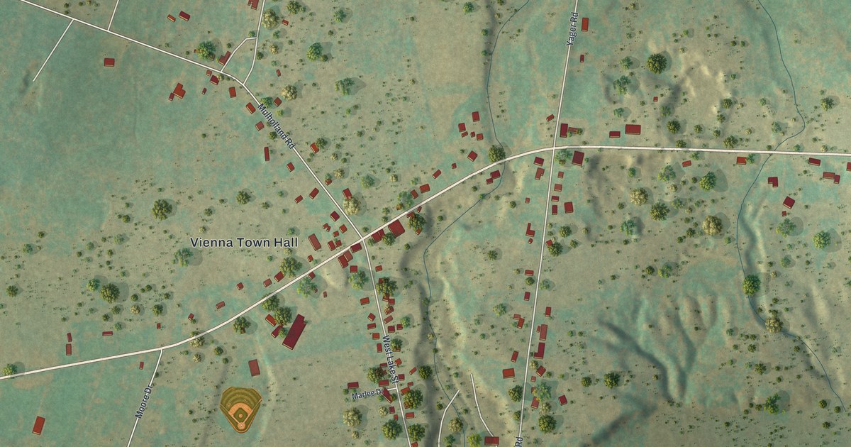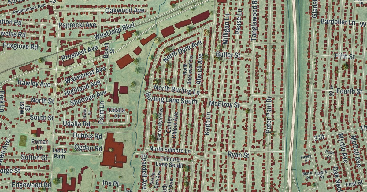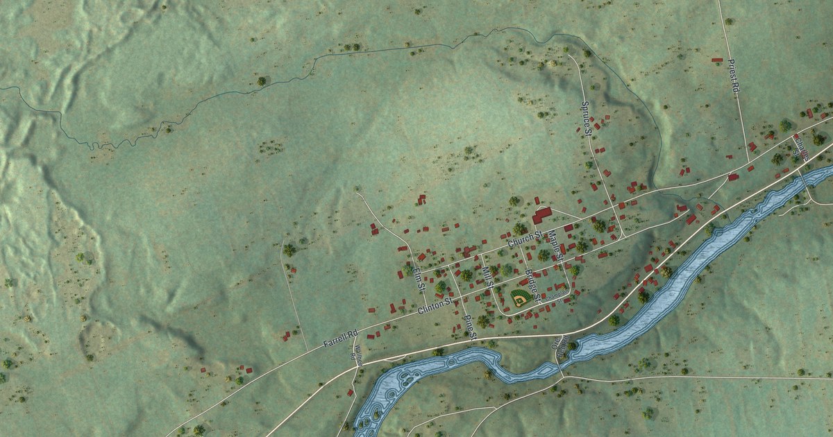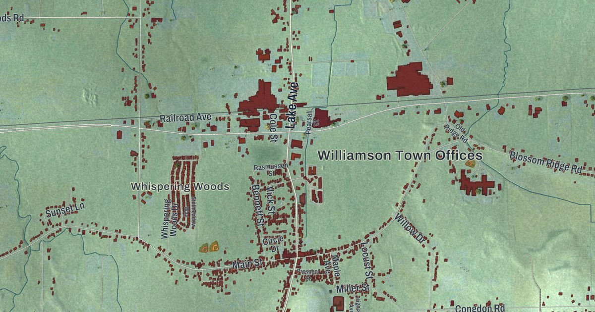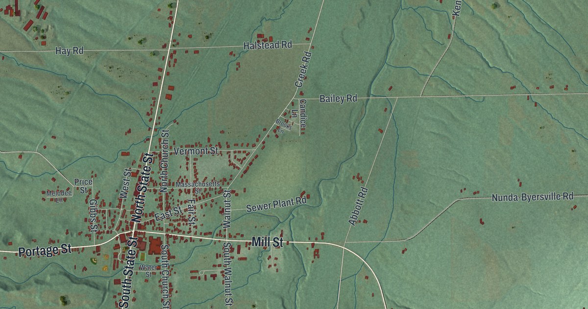
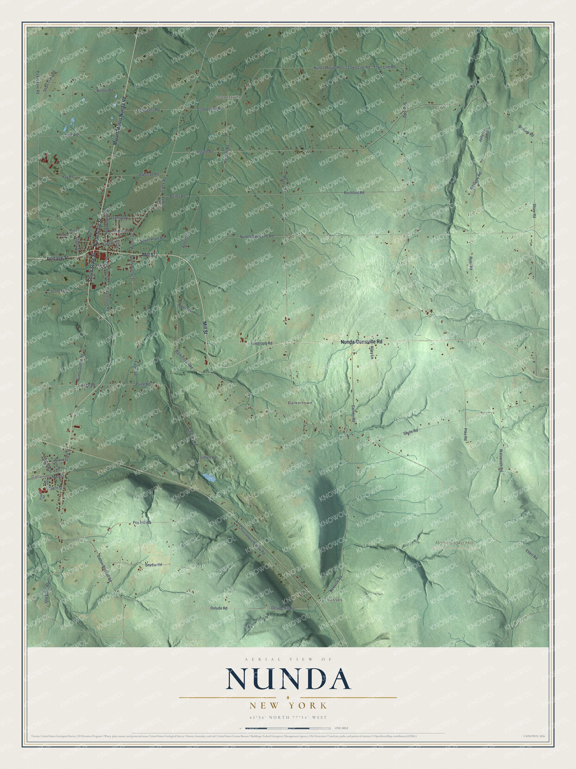
This beautifully detailed map of Nunda, New York was created in 2026 using aerial imagery combined with modern topographical, census, street and landmark data. It’s a one-of-a-kind view of Nunda that combines accurate data with a vintage aesthetic. The map shows every building in its true location, many of the roads carry their names, and the shaded topographic relief shows the shape of the land.
Explore an aerial view of Nunda, New York
On the map you’ll find Dalton, Rosses, Coopersville, Barkertown, and Rattlesnake Hill Wildlife Management Area, along with Mount Morris Nunda Road, Portage Street, State Street, Nunda-Dansville Road, Mill Street, and more. If you look closely you can even find your house accurately drawn in its correct location. Zoom in on the preview to look for yours.
Did You Know?
The town’s name came from Nunda-wa-ono, the Seneca name for this land. Seneca people once lived in the valleys and hills beside the Genesee River and Keshequa Creek. In their language, the word relates to hills. The place was first called Nunda Valley, until Charles H. Carroll shortened the name in 1824.
Take a closer look at the Nunda map
Names on this map
These names are printed on this map.
Places: Dalton, Rosses, Coopersville, Barkertown and Rattlesnake Hill Wildlife Management Area.
Streets and roads: Mount Morris Nunda Road, Portage Street, North State Street, Nunda-Dansville Road, South State Street, Mill Street, State Street, Barkertown Road, Nunda Dalton Road, Delude Road, Newville Road, Dalton Birdsall Road.
More street names, A to Z
Abbott Road, Allen Road, Bailey Road, Brokaw Road, Brooks Lane, Candice Lane, Carney Road, Chautauqua Hollow Road, Chidsey Road, Church Street, Cole Road, Cooperville Road, Creek Road, Degroff Road, Delude Hill Road, Drake Road, East Street, Ebert Road, Fair Street, Fox Hill Road, Fuller Road, Gibbs Street, Gilbert Road, Halstead Road, Hay Road, Jolly Road, Kendall Road, Main Street, Maple Street, Massachusetts Street, McGinty Road, Melodee Lane, Meyers Road, North Church Street, North Street, Nunda-Byersville Road, Nunda Mount Morris Town Line Road, Oakland Street, Old State Road, Paine Road, Pentagass Road, Picket Line Road, Pike Road, Piper Road, Price Street, Riley Lane, Rochford Road, Ryan Road, Scipio Road, Sewer Plant Road, Shaw Road, Short Tract Road, Shute Road, Snyder Road, South Church Street, South Walnut Street, Stone Road, Telegraph Road, Town Line Road, Vermont Street, Walnut Street, Walsworth Road, Watercure Road, Water Street, West Street, Wildey Road.
See it on a wall
The Nunda map as a framed print. Swipe for more.


This beautifully detailed map of Nunda makes an attractive addition to your office, library, or den, and it can even be used to teach children the geography and history of the area. It also makes a great gift for someone who left Nunda and still calls it home. When you’re done exploring, click here to get your copy of the Nunda map.