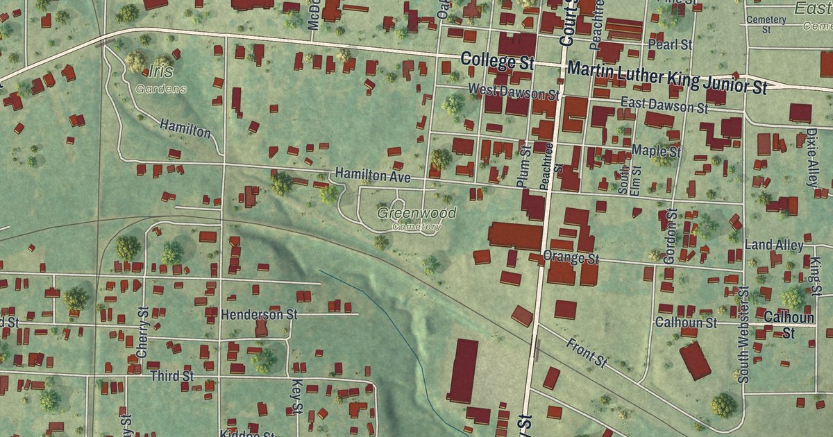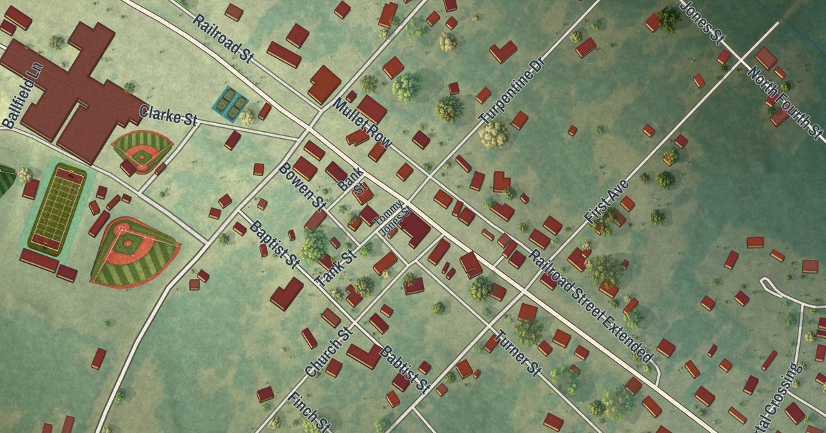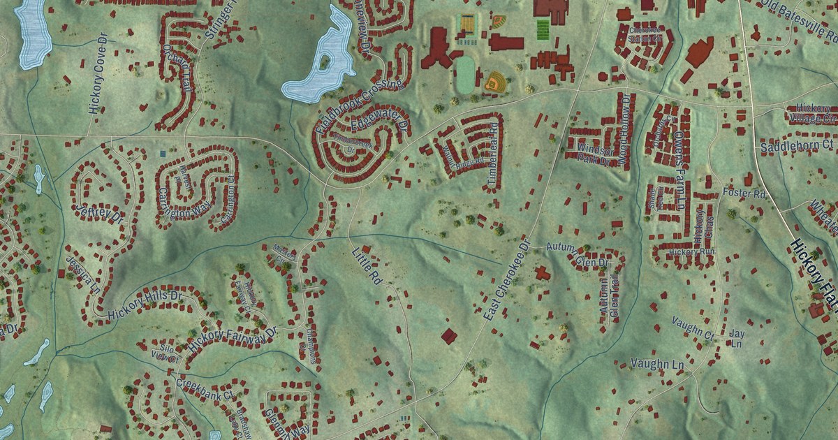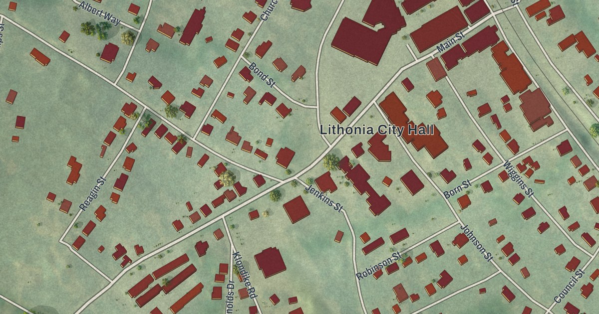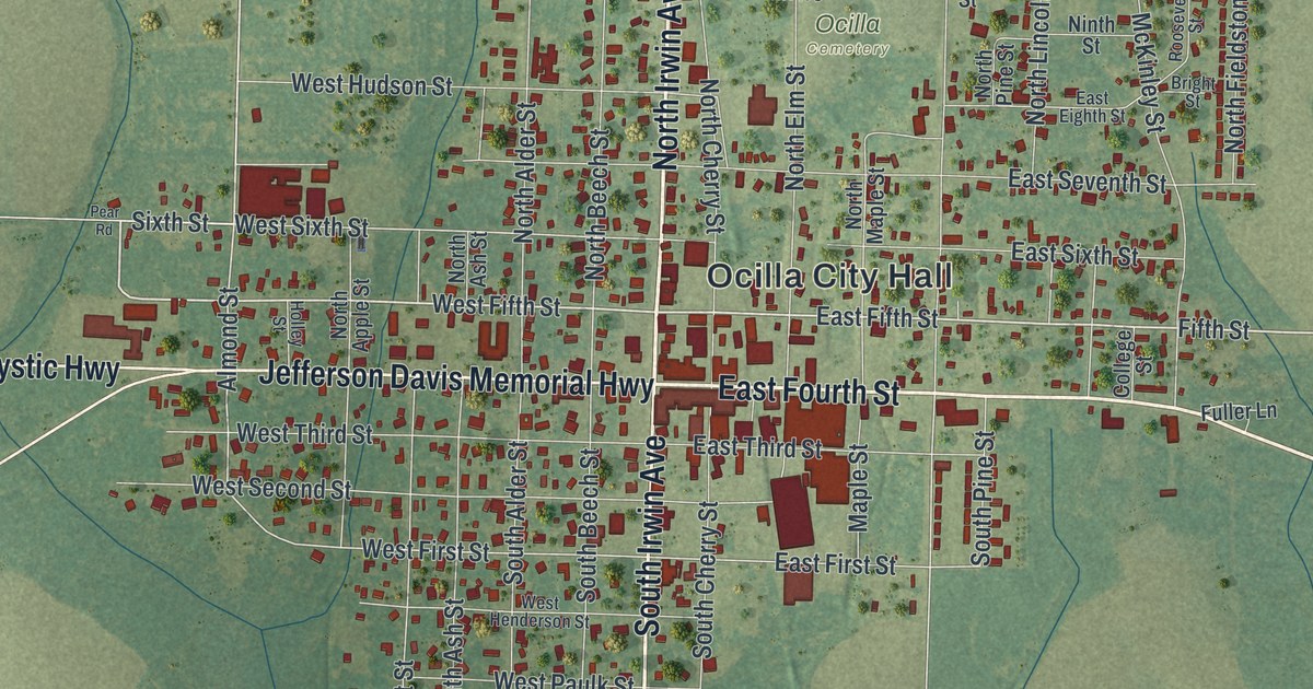
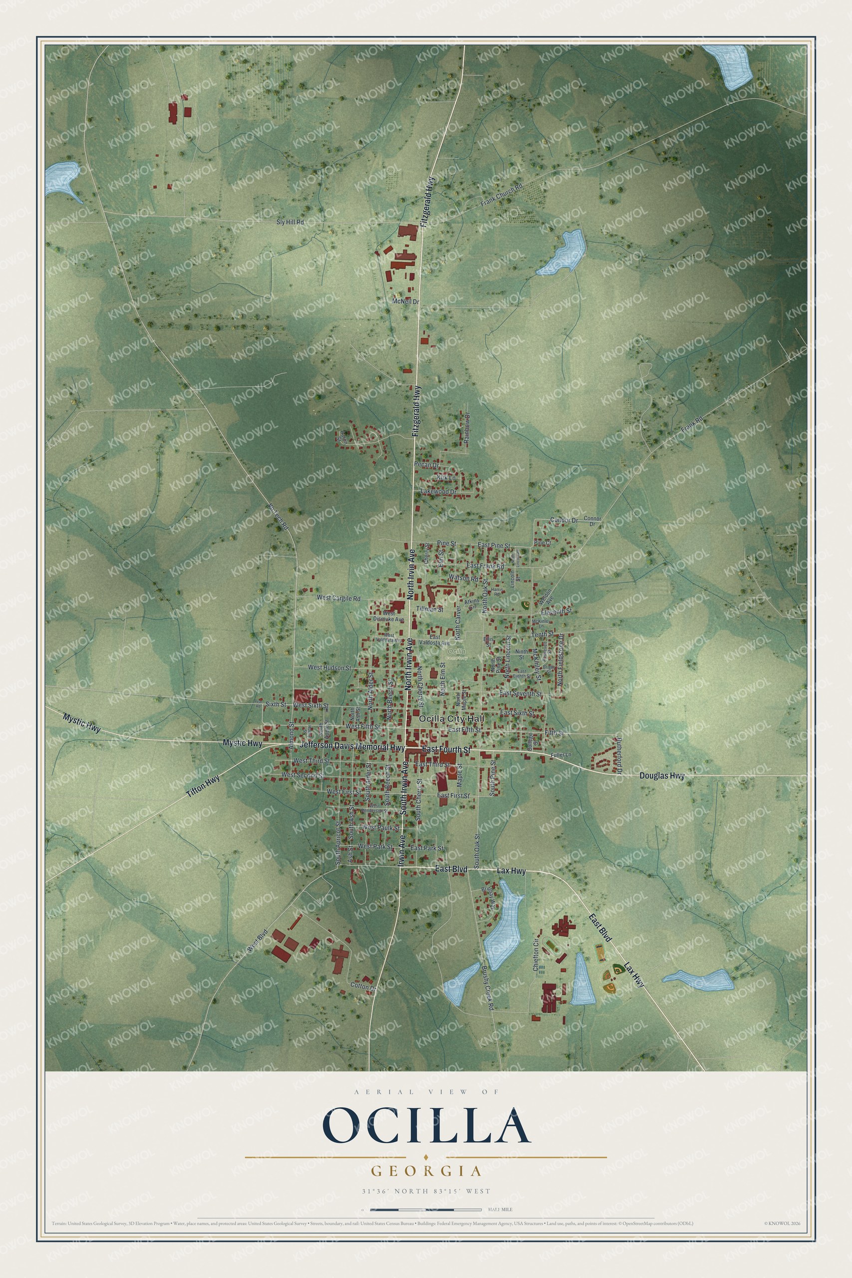
This beautifully detailed map of Ocilla, Georgia was created in 2026 using aerial imagery combined with modern topographical, census, street and landmark data. It’s a one-of-a-kind view of Ocilla that combines accurate data with a vintage aesthetic. The map shows every building in its true location, many of the roads carry their names, and the shaded topographic relief shows the shape of the land.
Explore an aerial view of Ocilla, Georgia
On the map you’ll find Ocilla City Hall, along with Fourth Street, Irwin Avenue, Fitzgerald Highway, Irvin Avenue, and more. If you look closely you can even find your house accurately drawn in its correct location. Zoom in on the preview to look for yours.
Did You Know?
The Ocilla Raceway opened at the edge of town on April 23, 1950. That first day, 2,500 people watched five races. James Bennett of Macon won the 20-lap feature, and Lucy Stacks of Fitzgerald took the women’s race. The track later closed, and its remains are badly worn today.
Take a closer look at the Ocilla map
Names on this map
These names are printed on this map.
Places: Ocilla City Hall and Ocilla Cemetery.
Streets and roads: East Fourth Street, North Irwin Avenue, Fitzgerald Highway, North Irvin Avenue, East Boulevard, Lax Highway, South Irwin Avenue, Jefferson Davis Memorial Highway, Mystic Highway, Douglas Highway, Tifton Highway, Irwin Avenue.
More street names, A to Z
Aaron Street, Almond Street, Ash Street, Atkins Circle, Bright Street, Brittnay Way, Brushy Creek Road, Cherry Street, Chiefton Circle, College Street, Condor Drive, Connor Drive, Cotton Drive, East Eighth Street, East Fifth Street, East First Street, East Frank Road, East Park Street, East Pine Street, East Seventh Street, East Sixth Street, East Third Street, East Valdosta Avenue, Eleventh Street, Ellis Street, Elm Street, Fifth Street, Frank Church Road, Frank Road, Fuller Lane, Harris Road, Holley Street, Kirk Lane, Lakewood Drive, Lincoln Street, Maple Street, McKinley Lane, McKinley Street, McNeil Drive, Ninth Street, North Alder Street, North Apple Street, North Ash Street, North Beech Street, North Carver, North Cherry Street, North Elm Street, North Fieldstone Drive, North Lincoln Road, North Lincoln Street, North Maple Street, North Oak Street, North Pine Street, Pear Road, Pecan Drive, Pine Court, Pine Street, Rainbow Drive, Roosevelt Street, Rutherford Drive, Sixth Street, Sly Hill Road, South Alder Street, South Apricot Street, South Ash Street, South Beech Street, South Cherry Street, South Oak Street, South Pine Street, Tenth Street, Tillman Street, Vo Tech Road, Watson Road, Weldon Avenue, West Boulevard, West Cargile Road, West Dismuke Avenue, West Fifth Street, West First Street, West Henderson Street, West Hudson Street, West Park Street, West Paulk Street, West Second Street, West Sixth Street, West Third Street, West Valdosta Avenue.
See it on a wall
The Ocilla map as a framed print. Swipe for more.


This beautifully detailed map of Ocilla makes an attractive addition to your office, library, or den, and it can even be used to teach children the geography and history of the area. It also makes a great gift for anyone with Ocilla roots. When you’re done exploring, click here to get your copy of the Ocilla map.