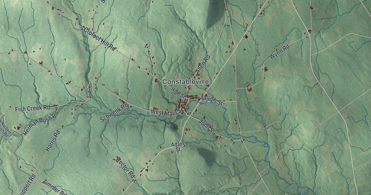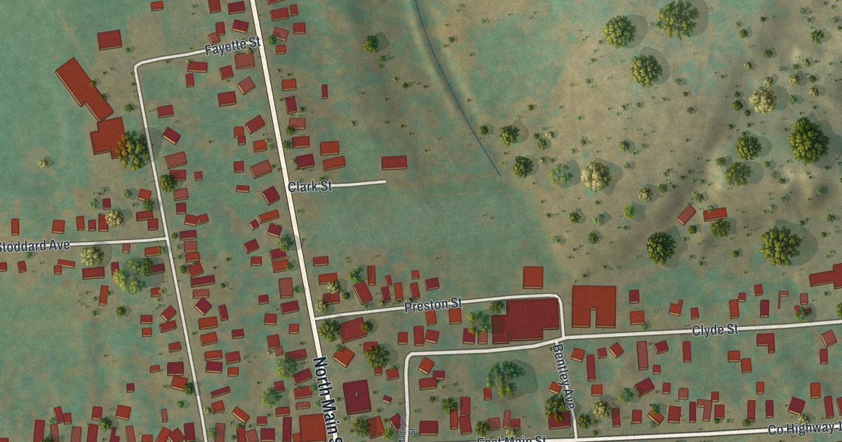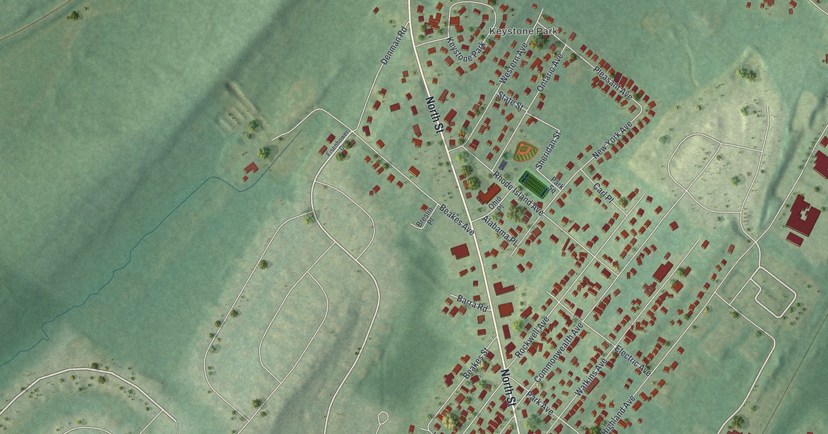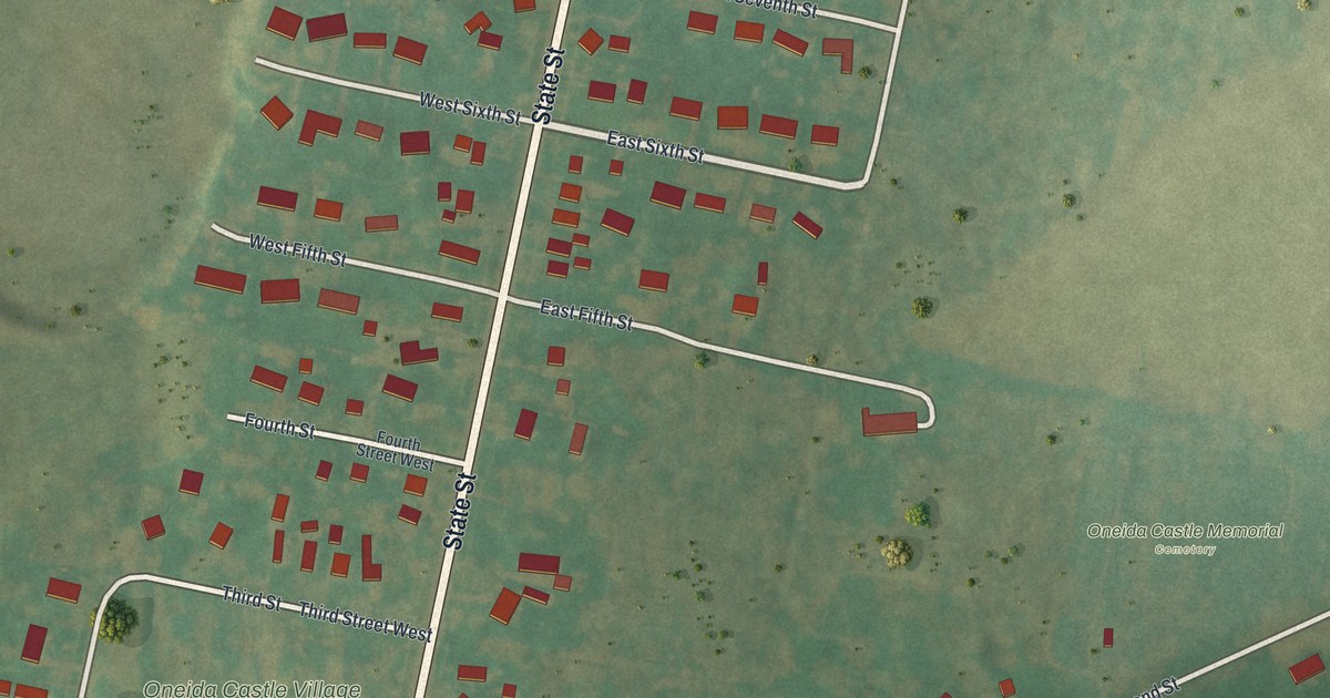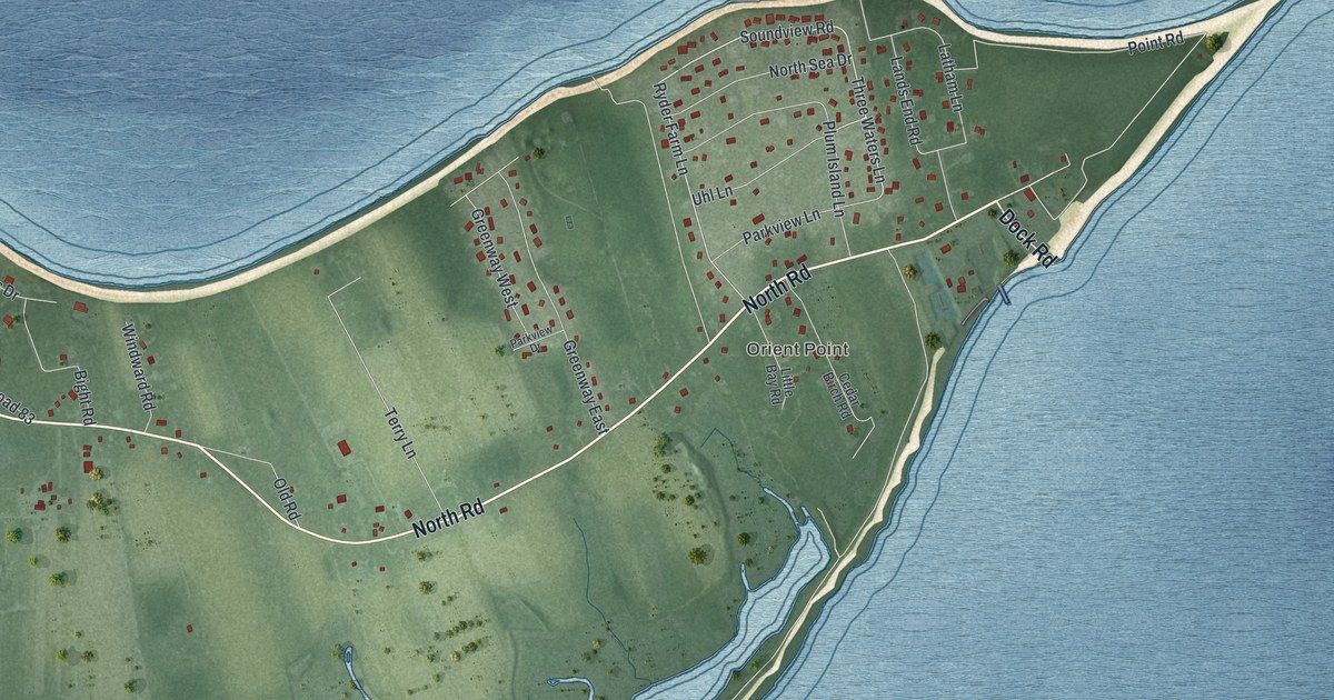
This beautifully detailed map of Orient, New York was created in 2026 using aerial imagery combined with modern topographical, census, street and landmark data. It’s a one-of-a-kind view of Orient that combines accurate data with a vintage aesthetic. The map shows every building in its true location, many of the roads carry their names, and the shaded topographic relief shows the shape of the land.
Explore an aerial view of Orient, New York
On the map you’ll find Orient Point, along with North Road, Main Road, Main Rd/north Road, Dock Road, Point Road, and more. If you look closely you can even find your house accurately drawn in its correct location. Zoom in on the preview to look for yours.
Did You Know?
Orient took its name because it is the most easterly village on the North Fork. Until about a generation before 1940, it competed with Niagara Falls for honeymoon couples. It was still a favorite resort when the guide was written. That’s from the 1940 WPA guide to New York.
Take a closer look at the Orient map
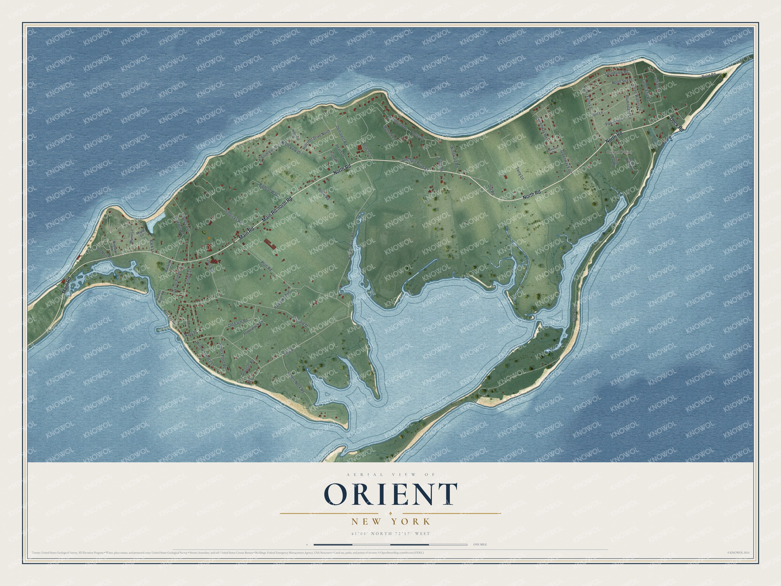
Names on this map
These names are printed on this map.
Places: Orient Point.
Streets and roads: North Road, Main Road, Dock Road, Point Road, Hillcrest Drive North, Soundview Road, Ryder Farm Lane, Three Waters Lane, State Parkway, King Street, Narrow River Road, Orchard Street.
More street names, A to Z
Back Lane, Beach Lane, Bight Road, Birdseye Road, Cedar Birch Road, Demarest Road, Diedricks Road, Douglas Road, Grandview Drive, Greenway East, Greenway West, Halyoake Avenue, Harbor River Road, Harbor Road, Heath Drive, Hillcrest, Hillcrest Drive, Lands End Road, Latham Lane, Little Bay Road, Majors Pond Road, Maple Lane, Mulford Court, Munn Lane, Navy Street, North Sea Drive, North View Drive, Old Farm Road, Old Main Road, Old Main Road 83, Old Road, Oyster Ponds Lane, Parkview Drive, Parkview Lane, Pete Hill Road, Peters Neck Road, Pettys Drive, Platt Road, Plum Island Lane, Poquatuck Lane, Racketts Court, Right of Way, Robin Road, South View Drive, Tabor Road, Terry Lane, Uhl Lane, Village Lane, Vincent Street, West Bay Avenue, Willow Terrace Lane, Windward Road, Youngs Avenue.
See it on a wall
The Orient map as a framed print. Swipe for more.


This beautifully detailed map of Orient makes an attractive addition to your office, library, or den, and it can even be used to teach children the geography and history of the area. It also makes a great gift for anyone with Orient roots. When you’re done exploring, click here to get your copy of the Orient map.