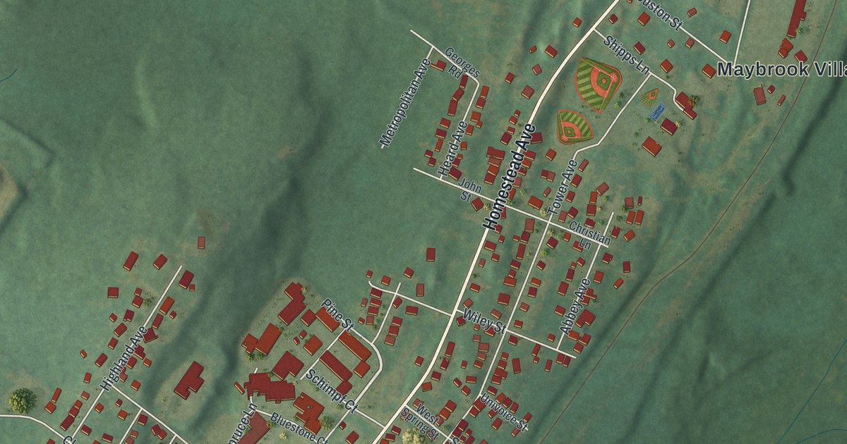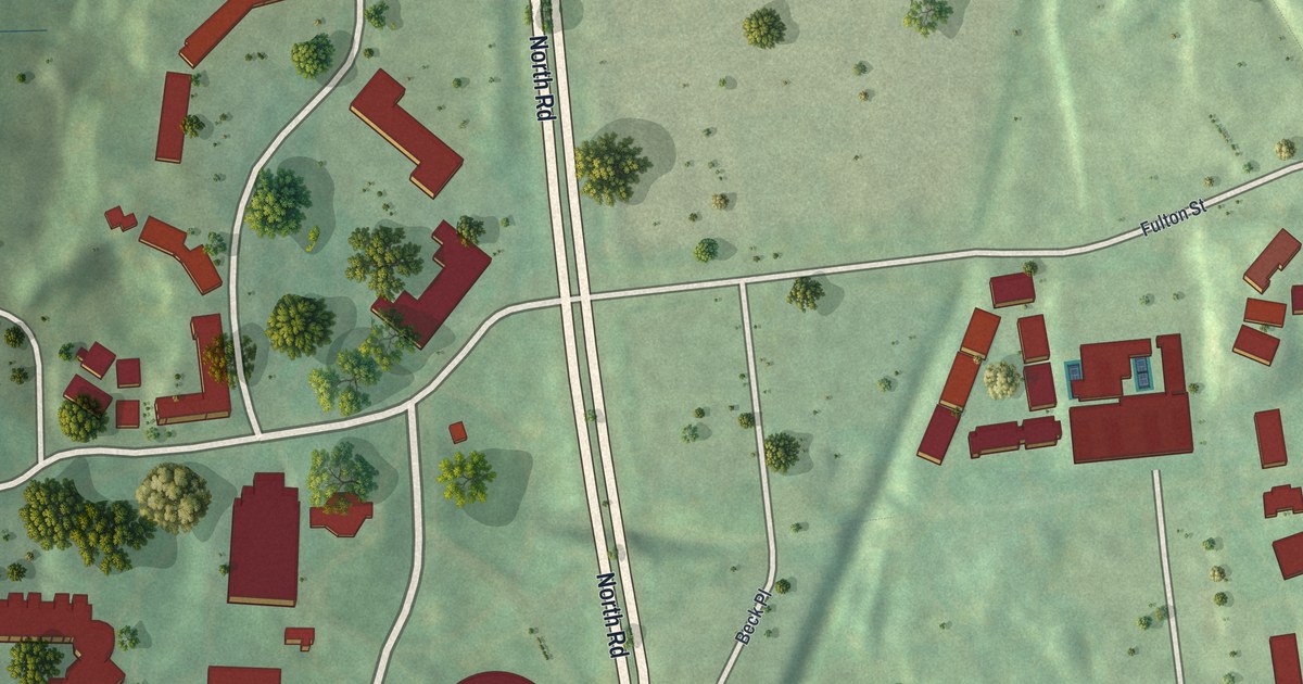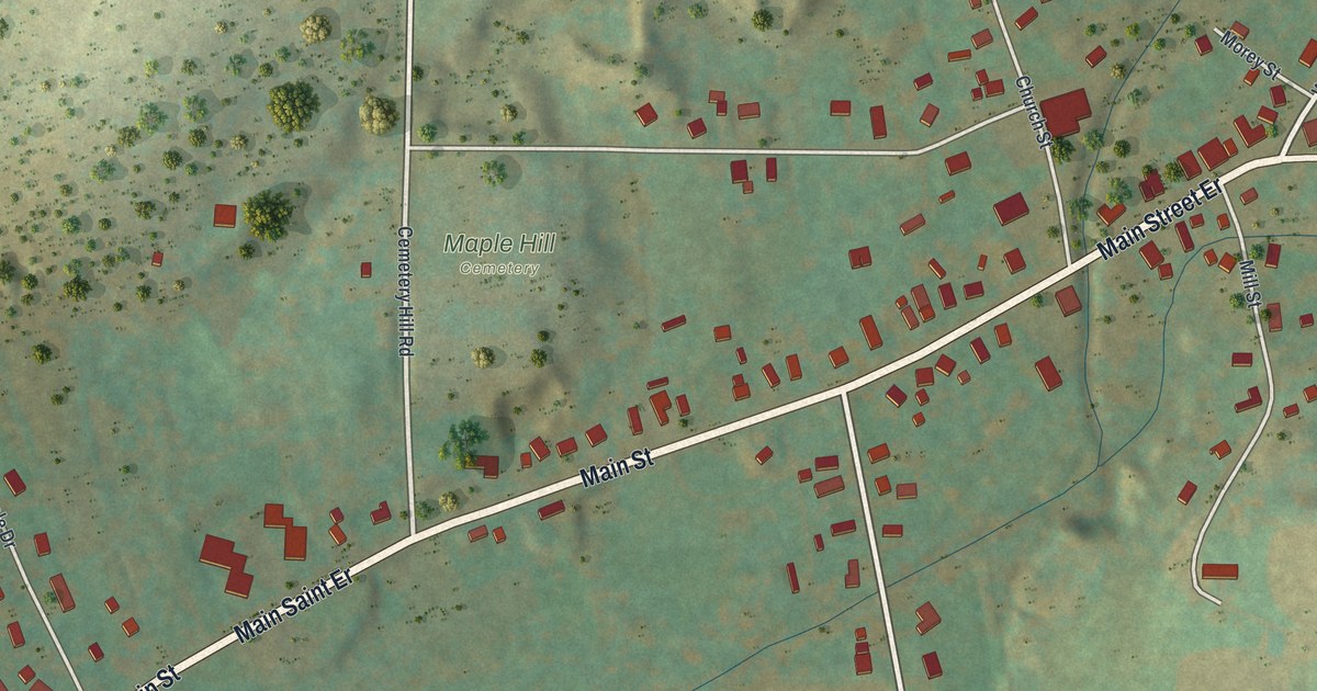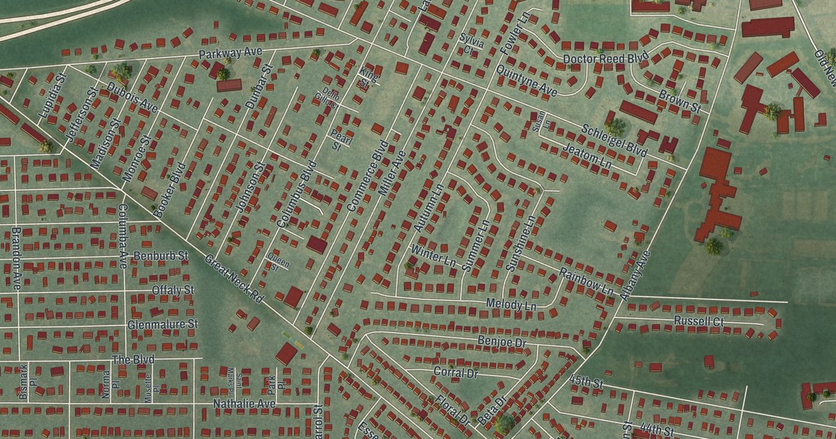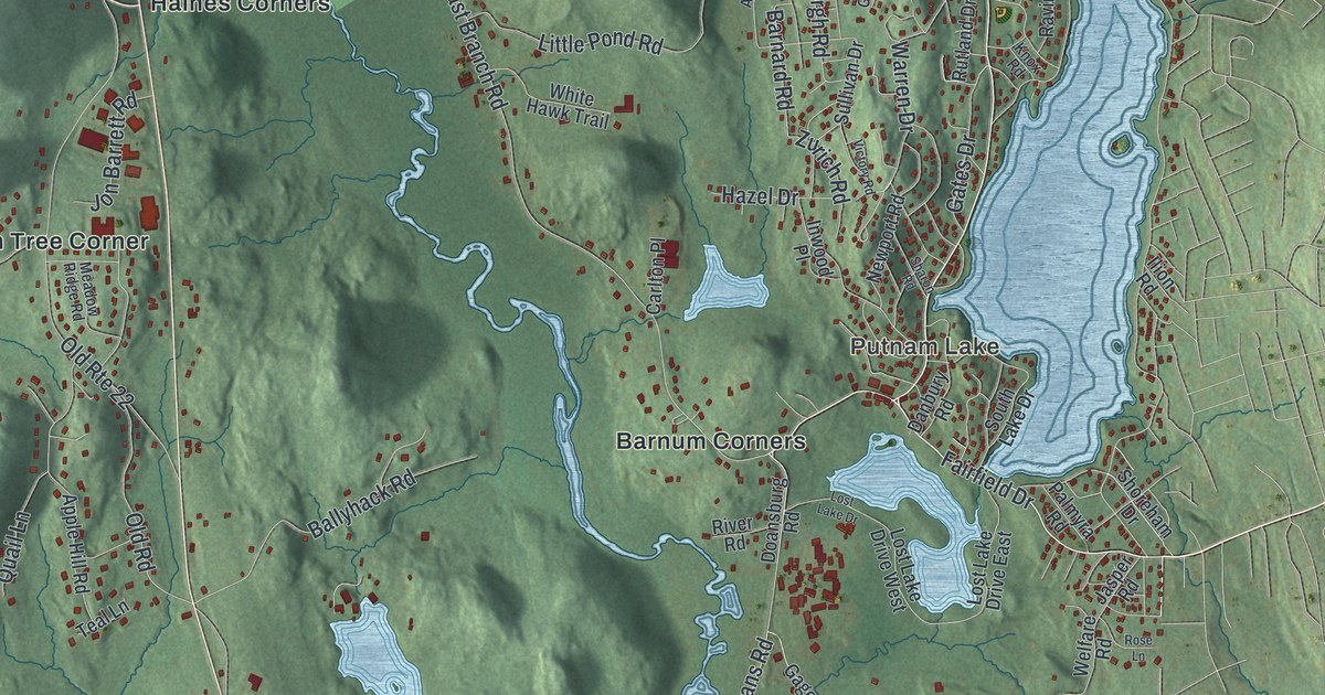
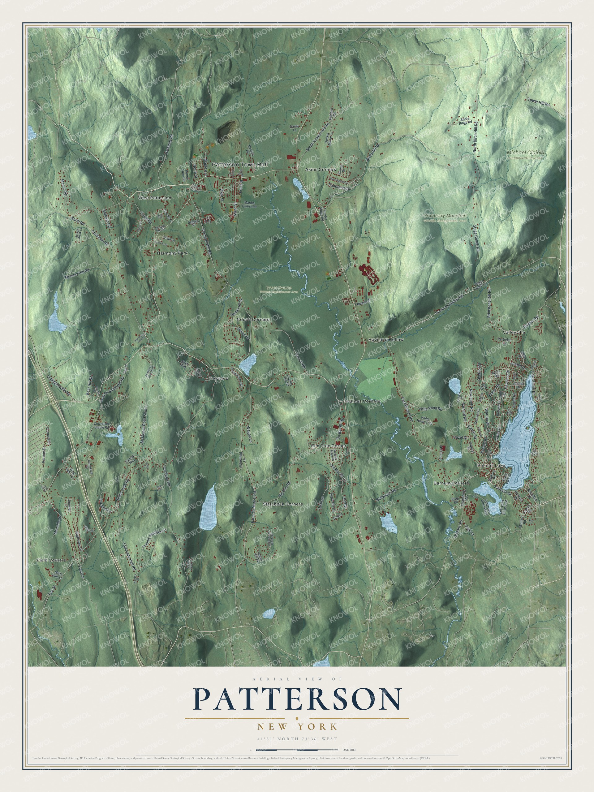
This beautifully detailed map of Patterson, New York was created in 2026 using aerial imagery combined with modern topographical, census, street and landmark data. It’s a one-of-a-kind view of Patterson that combines accurate data with a vintage aesthetic. The map shows every building in its true location, many of the roads carry their names, and the shaded topographic relief shows the shape of the land.
Explore an aerial view of Patterson, New York
On the map you’ll find Patterson Town Hall, Field Corners, Putnam Lake, Akins Corners, Barnum Corners, Couch Corners, Cranberry Mountain Wildlife Management Area, Great Swamp Wildlife Management Area, and Michael Ciaiola Conservation Area, along with Haviland Drive, Fairfield Drive, Quaker Road, Birch Hill Road, and more. If you look closely you can even find your house accurately drawn in its correct location. Zoom in on the preview to look for yours.
Did You Know?
Patterson was first called Franklin. Scottish soldiers settled it about 1770, after leaving the British army following the French and Indian War. In 1808 the state legislature did away with its many towns called Franklin. The town then took the name of early settler Matthew Patterson. That’s from the 1940 WPA guide to New York.
Take a closer look at the Patterson map
Names on this map
These names are printed on this map.
Places: Patterson Town Hall, Field Corners, Putnam Lake, Cranberry Mountain Wildlife Management Area, Great Swamp Wildlife Management Area, Michael Ciaiola Conservation Area, Akins Corners, Barnum Corners, Couch Corners, Elm Tree Corner, Haines Corners, Harmony Park, Haviland Hollow, Steinbeck Corners, Towners, Valleyville and West Patterson.
Streets and roads: Haviland Drive, Fairfield Drive, Quaker Road, North Birch Hill Road, Birch Hill Road, West Street, Tammany Hall Road, Tommy Thurber Lane, Barnard Road, Front Street, Bullet Hole Road, Mooney Hill Road.
More street names, A to Z
Abbeyfield Lane, Addison Drive, Allen Drive, Apple Hill Road, Baldwin Road, Ballyhack Road, Bear Hill Road, Bearhill Road, Big Elm Road, Birch Way, Boone Street, Boulder Brook Lane, Bridle Ridge Road, Brimstone Hill Road, Buhleier Road, Burdick Road, Burton Farm Road, Cannon Road, Carlton Place, Carolyn Way, Clifton Court, Cloverlake Stable Road, Club Court, Commerce Drive, Concord Road, Cornwall Hill Road, Couch Road, Country Hill Road, Cross Road, Cushman Road, Danbury Road, Danby Lane, Deacon Smith Hill Road, Devon Road, Doansburg Road, Dog Street, East Branch Road, Fair Street, Farm To Market Road, Field Lane, Flint Road, Fox Run Lane, Gage Road, Garfield Drive, Garland Road, Gates Drive, Harmony Road, Haviland Hollow Road, Hazel Drive, Highview Drive, Holmes Road, Hudson Drive, Ice Pond Road, Ilion Road, Indian Hill Road, Inwood Place, Ipswich Road, Jasper Road, Java Road, Jennifer Lane, Jerome Drive, Jon Barrett Road, Jordan Drive, Knox Road, Lake Shore Drive, Little Pond Road, Longview Drive, Lopane Drive, Lost Lake Drive, Lost Lake Drive East, Lost Lake Drive West, Ludingtonville Road, Manor Road, Maple Avenue, Marble Quarry Road, McManus Road North, McManus Road South, Meadow Ridge Road, Michelle Drive, Misty Hills Lane, Morningside Drive, Mountain View Road, Newburgh Road, Newport Road, North Road, North Street, Nosh Kola Lane, Old Road, Old Route 22, Old State Route 311, Orchard Street, Orleans Road, Overlin Road, Palmyra Road, Panorama Drive, Pan Road, Partridge Lane, Patterson Village Court, Perry Road, Pheasant Crossing Lane, Powderhorn Road, Quail Lane, Quaker Manor Lane, Ravina Road, Red Shutter Farm Road, Ridgeview Drive, River Road, Rose Lane, Rutland Drive, Schech Place, Sharon Road, Shawe Valley Lane, Shoreham Drive, Slater Road, Somerset Drive, Sonnet Lane, South Lake Drive, South Quaker Hill Road, South Street, Stage Coach Lane, Stage Coach Road, Sullivan Drive, Sunset Drive, Teal Lane, Terry Hill Road, Thunder Ridge Road, Tower Hill Road, Vernon Drive, Victory Road, Vista Lane, Wagon Lane, Warren Drive, Welfare Road, West Gate Terrace, White Hawk Trail, Zurich Road.
See it on a wall
The Patterson map as a framed print. Swipe for more.


This beautifully detailed map of Patterson makes an attractive addition to your office, library, or den, and it can even be used to teach children the geography and history of the area. It also makes a great gift for anyone with Patterson roots. When you’re done exploring, click here to get your copy of the Patterson map.