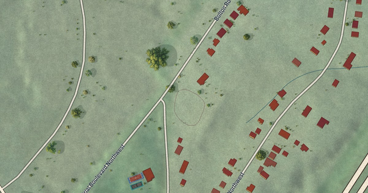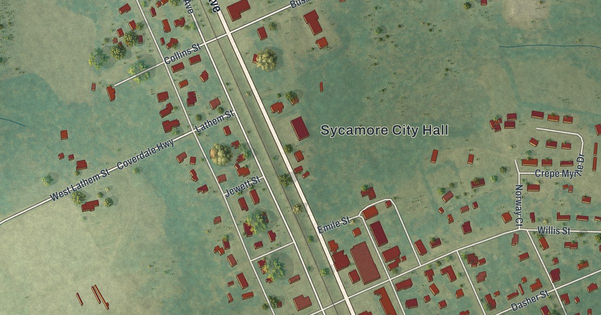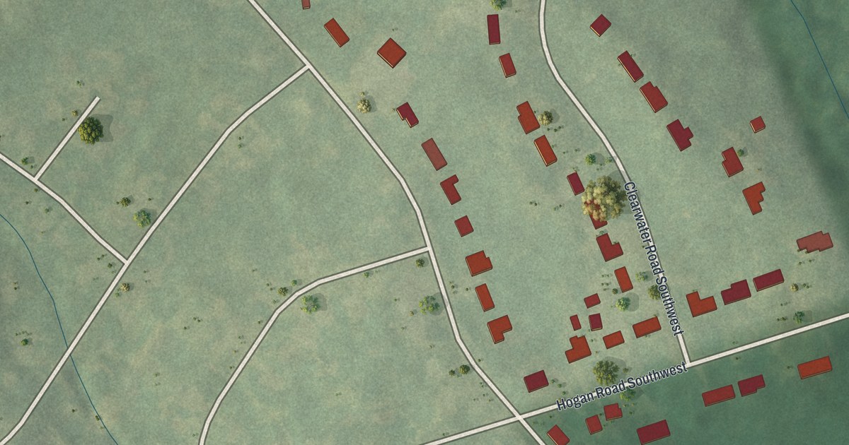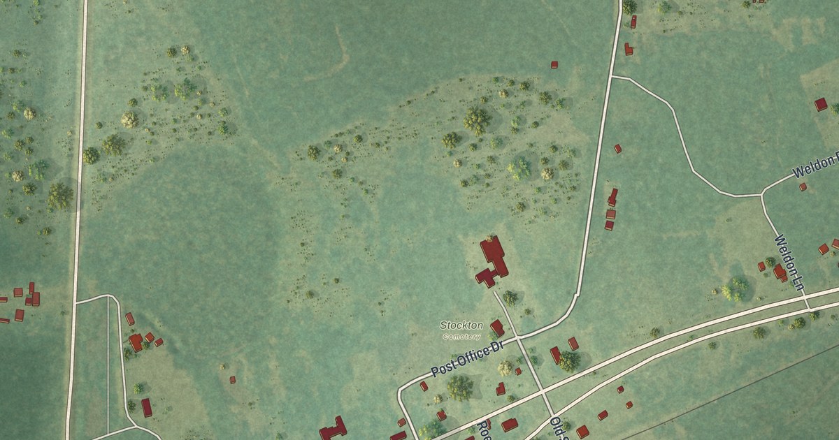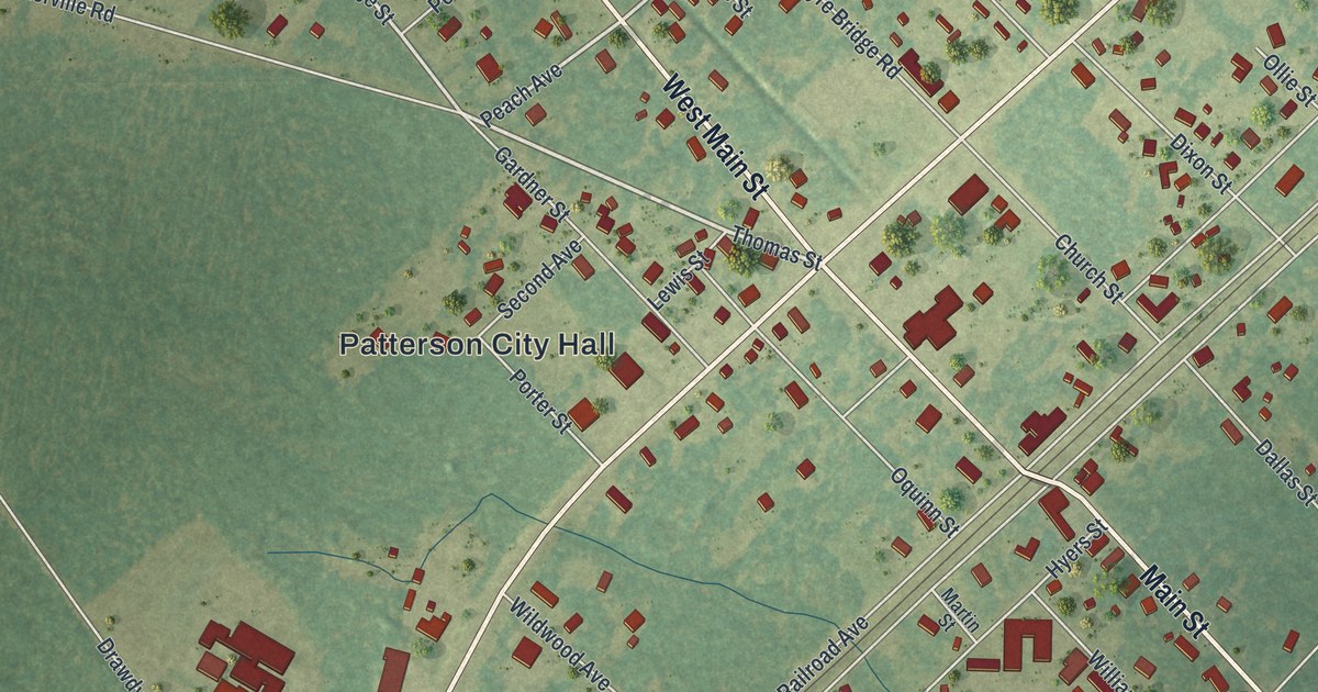
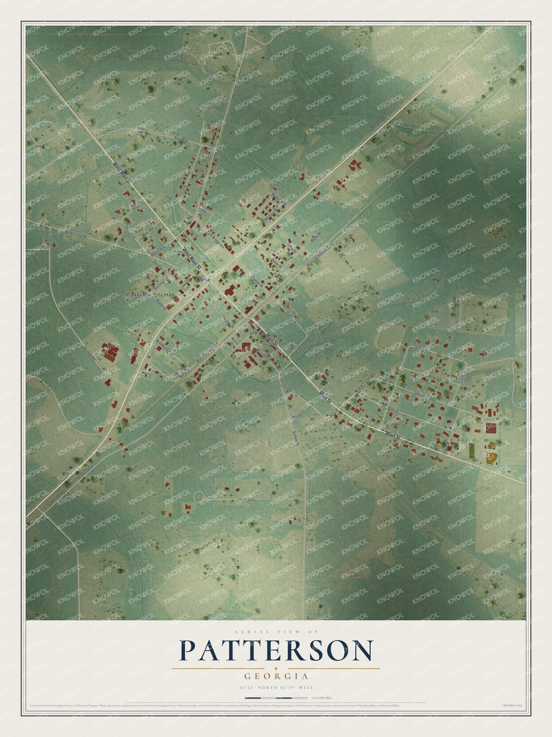
This beautifully detailed map of Patterson, Georgia was created in 2026 using aerial imagery combined with modern topographical, census, street and landmark data. It’s a one-of-a-kind view of Patterson that combines accurate data with a vintage aesthetic. The map shows every building in its true location, many of the roads carry their names, and the shaded topographic relief shows the shape of the land.
Explore an aerial view of Patterson, Georgia
On the map you’ll find Patterson City Hall and Lions Park, along with Main Street, Industrial Boulevard, Thomas Street, Jerry Street, and more. If you look closely you can even find your house accurately drawn in its correct location. Zoom in on the preview to look for yours.
Did You Know?
Patterson grew as an incorporated town on the Savannah, Florida and Western Railway. A large cotton ginnery operated there. In the 1894 season, the small town shipped about 1,000 bales of Sea Island cotton. That’s from the 1895 Pierce County booklet.
Take a closer look at the Patterson map
Names on this map
These names are printed on this map.
Places: Patterson City Hall and Lions Park.
Streets and roads: Main Street, West Main Street, Industrial Boulevard, Thomas Street, Jerry Street, Kennell Road, Peach Avenue, Orange Street, Hyers Street, Railroad Avenue East, Tyre Bridge Road, West Railroad Avenue.
More street names, A to Z
Arbor Road, Church Street, Claire Street, Dallas Street, David Street, Dixon Street, Drawdy Road, Drawdy Street, Echols Street, Eden Road, Gardner Street, Hickory Drive, James Street, Jessica Lane, Lewis Street, Littleberry Street, Lucas Street, Martin Street, Nellie Street, Oats Street, Ollie Street, Oquinn Street, Pear Avenue, Plum Avenue, Polly Street, Porter Street, Reese Street, Second Avenue, Smiley Street, Sunny Court, Walkerville Road, Walnut Way, Wildwood Avenue, Wilkerson Avenue, Williams Street, Wylly Street.
See it on a wall
The Patterson map as a framed print. Swipe for more.


This beautifully detailed map of Patterson makes an attractive addition to your office, library, or den, and it can even be used to teach children the geography and history of the area. It also makes a great gift for anyone with Patterson roots. When you’re done exploring, click here to get your copy of the Patterson map.