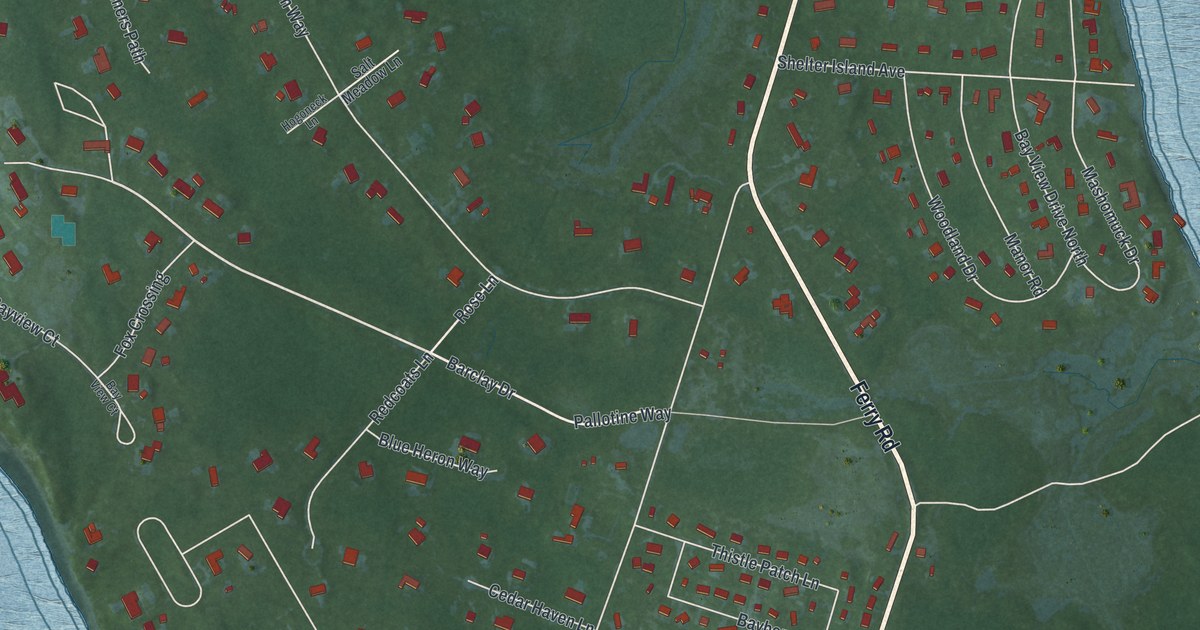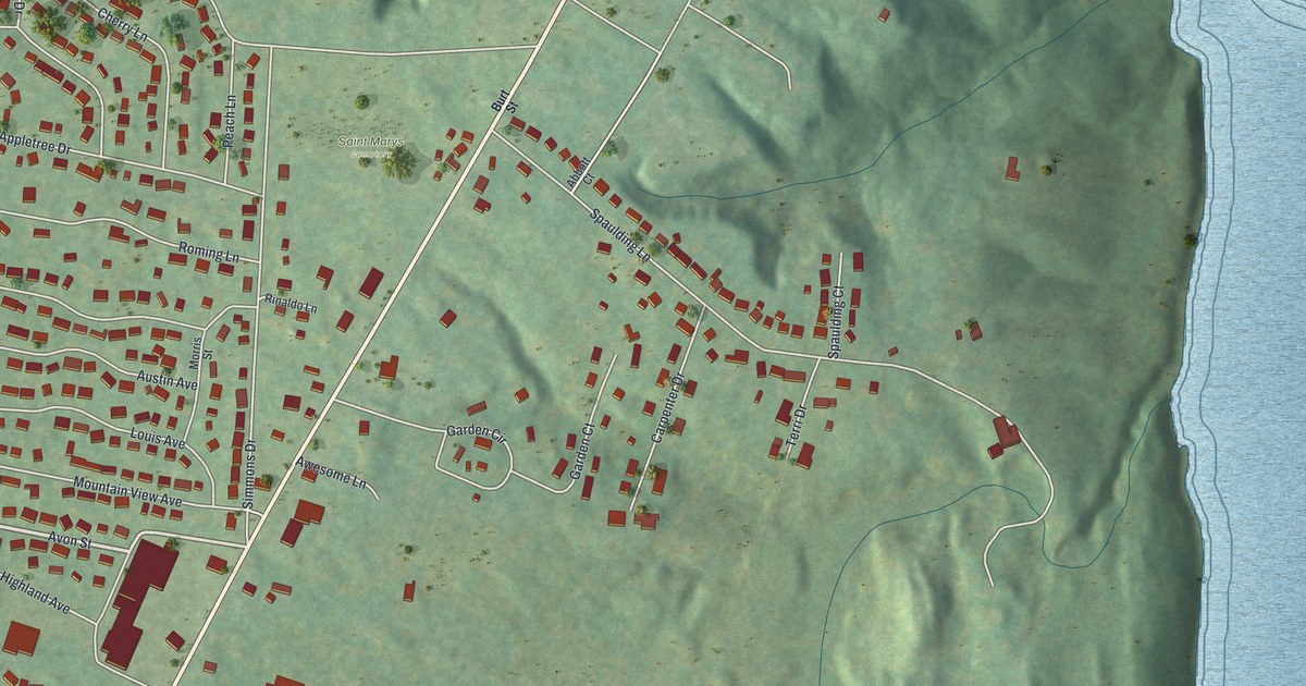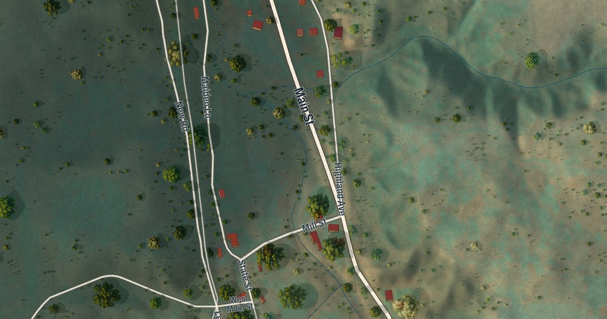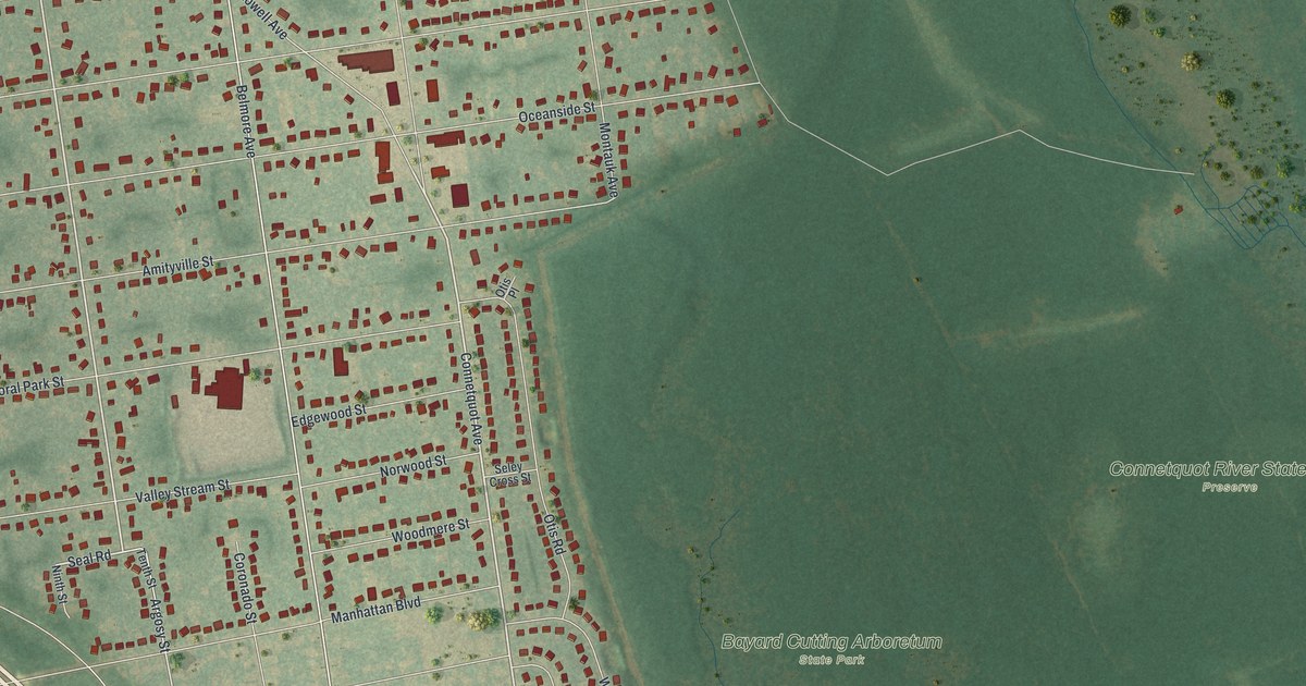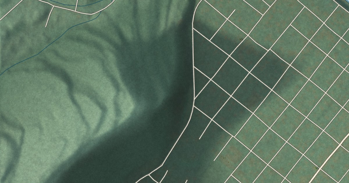
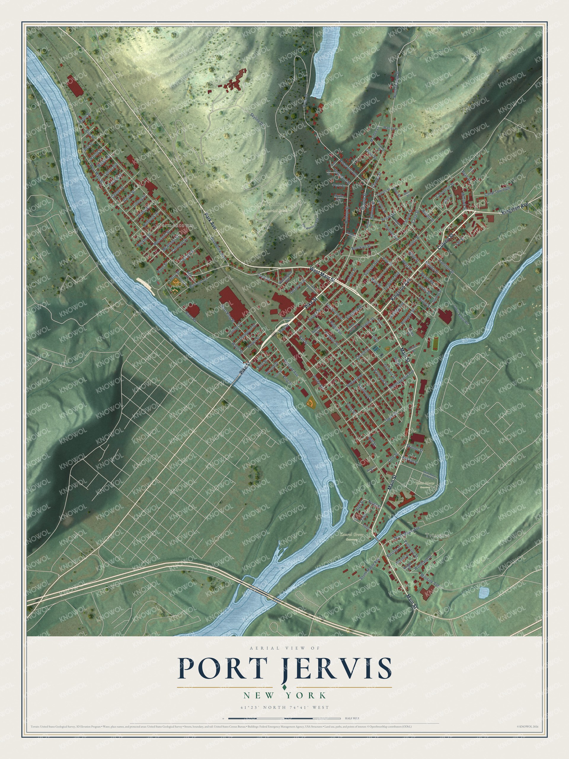
This beautifully detailed map of Port Jervis, New York was created in 2026 using aerial imagery combined with modern topographical, census, street and landmark data. It’s a one-of-a-kind view of Port Jervis that combines accurate data with a vintage aesthetic. The map shows every building in its true location, many of the roads carry their names, and the shaded topographic relief shows the shape of the land.
Explore an aerial view of Port Jervis, New York
On the map you’ll find Tristates, Germantown, Elks-Brox Memorial Park, Laurel Grove Cemetery, and Saint Marys Cemetery, along with Main Street, Culvert Street, Pike Street, Park Avenue, Kingston Avenue, and more. If you look closely you can even find your house accurately drawn in its correct location. Zoom in on the preview to look for yours.
Did You Know?
The settlement was first called Mahackamack, after a Lenape word. British and Mohawk forces under Joseph Brant burned it in 1779. Residents rebuilt over the next twenty years. After the Delaware and Hudson Canal opened in 1828, the village took the name of John Bloomfield Jervis, the canal’s chief engineer.
Take a closer look at the Port Jervis map
Names on this map
These names are printed on this map.
Places: Tristates, Germantown, Elks-Brox Memorial Park, Laurel Grove Cemetery, Saint Marys Cemetery and Elks Memorial Park.
Streets and roads: Main Street, West Main Street, Culvert Street, Pike Street, Park Avenue, Kingston Avenue, Orange Street, Rumsey Street, Grandview Avenue, Reservoir Avenue, North Orange Street, Barcelow Street.
More street names, A to Z
Ada Street, Ball Street, Barclay Street, Beach Road, Bennett Street, Broad Street, Brooklyn Street, Brook Street, Brown Street, Bruce Street, Buckley Street, Cahoonzie Street, Canal Street, Canal Tow Path, Catherine Street, Cedar Street, Center Street, Charles Street, Church Street, Clark Street, Coleman Street, Cole Street, Cross Street, Delaware Drive, Delaware Street, Diane Place, Division Street, Dubois Street, East Broome Street, East View Place, Elizabeth Street, Elmendorf Street, Erie Street, Ester Drive, Fall Street, Farnum Street, Ferguson Avenue, Ferry Street, First Street, Fossard Street, Fowler Street, Francis Street, Franklin Street, Front Street, Gariss Street, Glass Street, Gordon Street, Grand Street, Hamilton Street, Hammond Street, Harold Street, High Street, Hill Street, Holbrook Street, Hudson Street, Irving Place, Jersey Avenue, Johnson Avenue, Jones Street, Kellogg Avenue, King Street, Lane Street, Liberty Street, Lincoln Street, Lower Beach Road, Lumber Street, Lyman Avenue, Lyman Street, Maiden Lane, Marvin Street, Mary Street, McAllister Street, Mechanic Street, Merritt Place, Mill Street, Minisink Avenue, Mohawk Street, Mountain Avenue, Myrtle Avenue, New Ball Street, New Street, North Maple Avenue, North Street, Oak Street, Orchard Street, Owen Street, Patterson Street, Pearl Street, Pennsylvania Avenue, Pine Street, Prospect Street, Railroad Avenue, Railroad Circle, Ralph Street, Ridge Avenue, River Road, River Street, Robert Street, Ryan Street, Schultz Street, Second Street, Seward Avenue, Short Street, Skinner Street, Skyline Drive, South Maple Avenue, South Street, Spring Street, Stoll Street, Sullivan Avenue, Sussex Street, Third Street, Thompson Street, Ulster Place, Union Street, Wagner Place, Warren Place, Washington Avenue, Water Street, West Broome Street, West King Street, West Street, White Street, Willard Street, Woodland Drive, Wright Street.
See it on a wall
The Port Jervis map as a framed print. Swipe for more.


This beautifully detailed map of Port Jervis makes an attractive addition to your office, library, or den, and it can even be used to teach children the geography and history of the area. It also makes a great gift for someone who left Port Jervis and still calls it home. When you’re done exploring, click here to get your copy of the Port Jervis map.