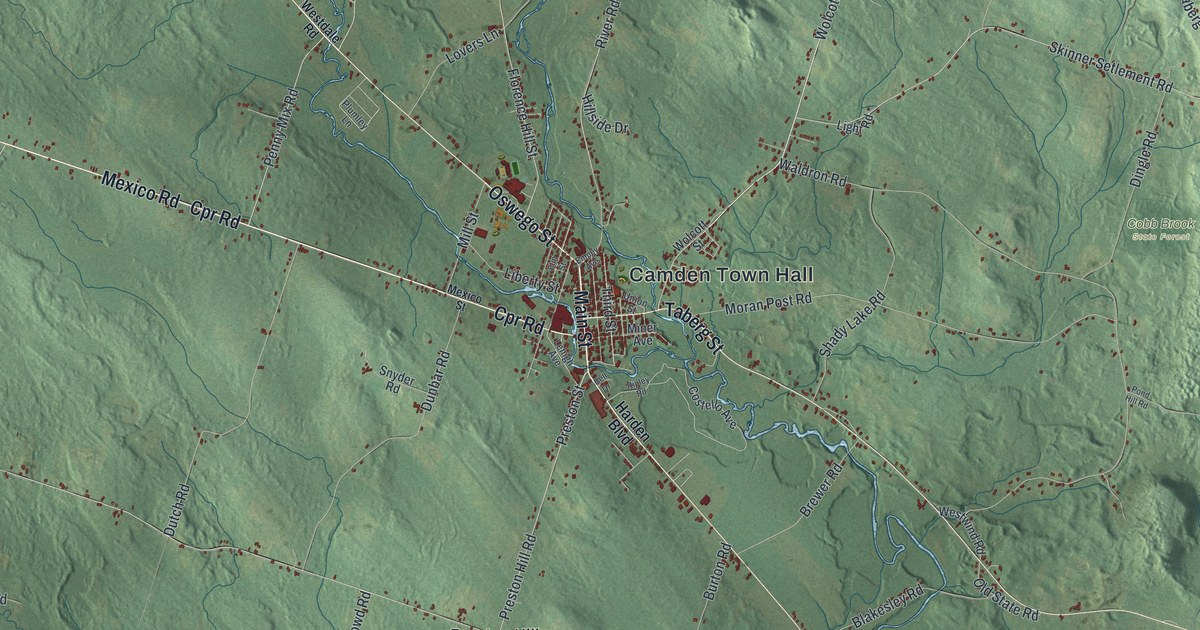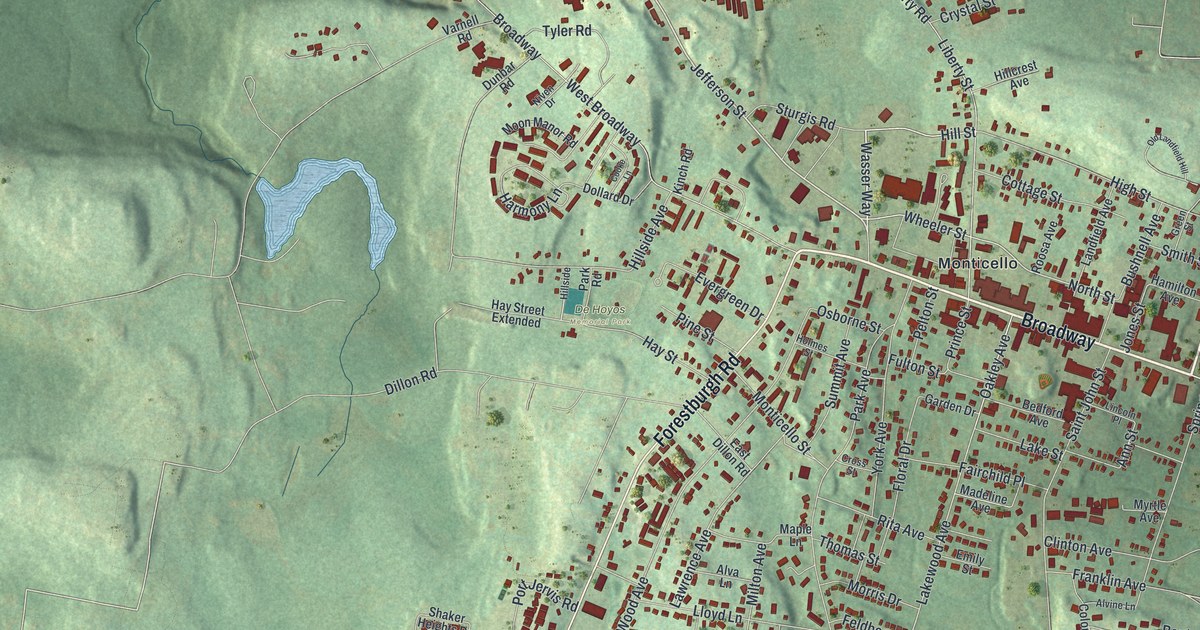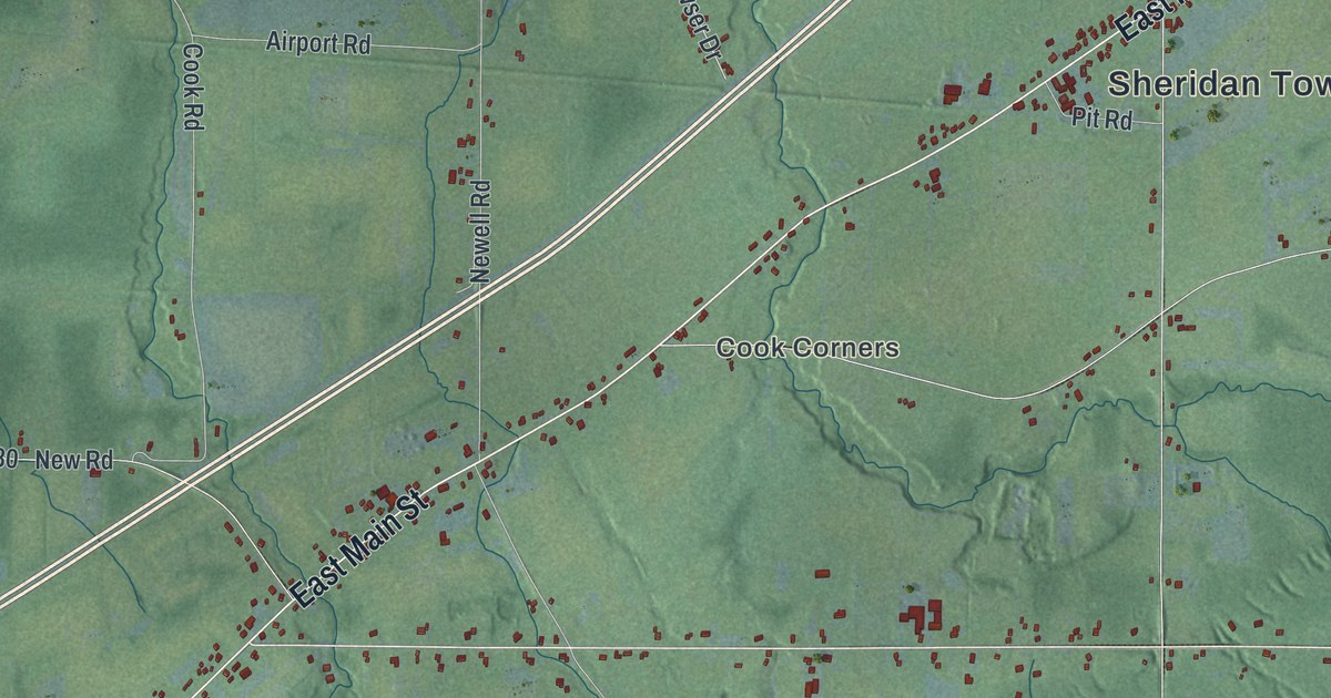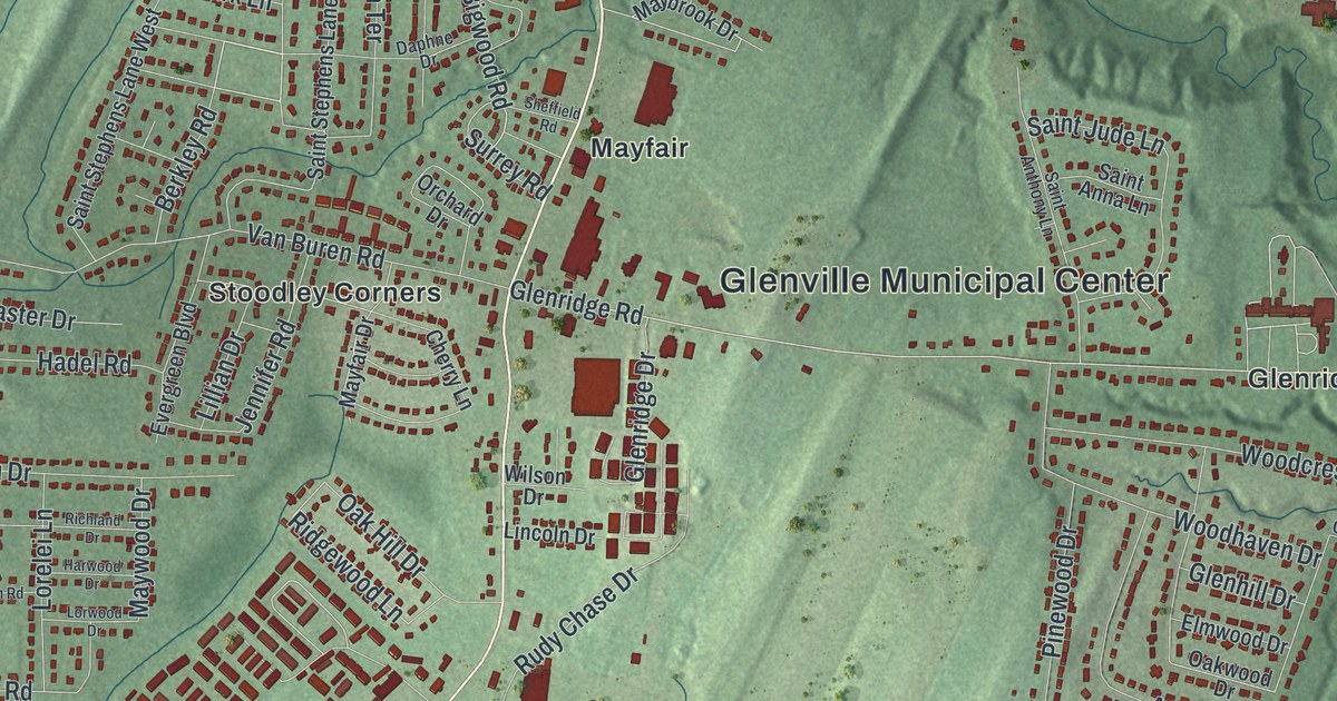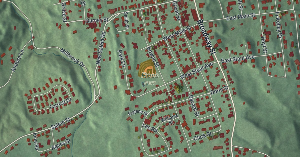
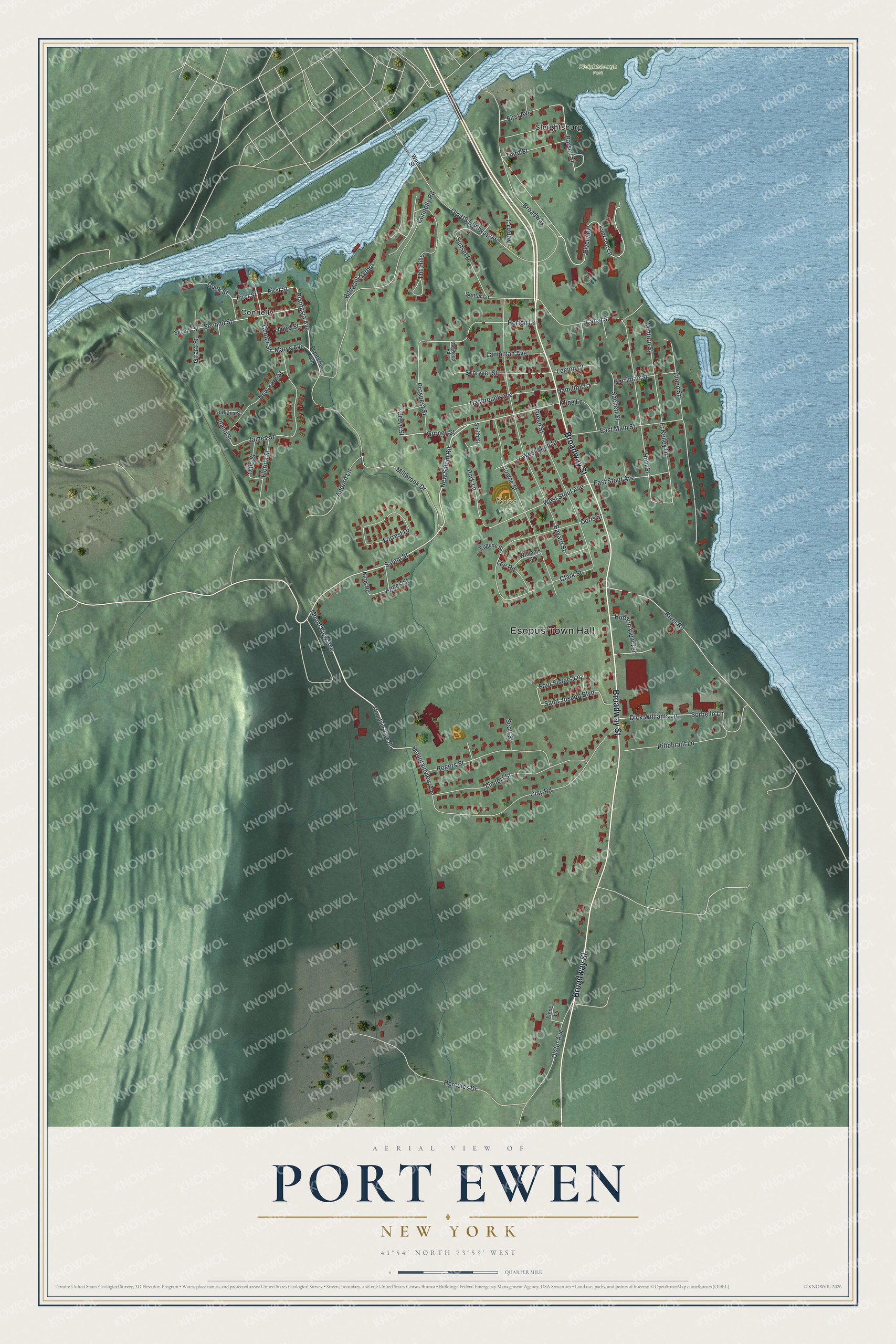
This beautifully detailed map of Port Ewen, New York was created in 2026 using aerial imagery combined with modern topographical, census, street and landmark data. It’s a one-of-a-kind view of Port Ewen that combines accurate data with a vintage aesthetic. The map shows every building in its true location, many of the roads carry their names, and the shaded topographic relief shows the shape of the land.
Explore an aerial view of Port Ewen, New York
On the map you’ll find Esopus Town Hall, Connelly, Sleightsburg, Sleightsburgh Park, and Ross Park, along with Broadway Street, Salem Street, Mount View Avenue, New Salem Road, and more. If you look closely you can even find your house accurately drawn in its correct location. Zoom in on the preview to look for yours.
Did You Know?
Jobs with the Pennsylvania Coal Company drew many people to Port Ewen. For years, crossing Rondout Creek meant riding the Skillypot, a chain ferry to Sleightsburgh. It was known for spotty service. The Kingston to Port Ewen Suspension Bridge replaced it in 1921.
Take a closer look at the Port Ewen map
Names on this map
These names are printed on this map.
Places: Esopus Town Hall, Sleightsburgh Park, Ross Park, Connelly and Sleightsburg.
Streets and roads: Broadway Street, Salem Street, Mount View Avenue, New Salem Road, Rondout Harbor, Mountainview Avenue, Gurney Street, Plantasia Avenue, First Street, Riverview, Sunset Drive, West Stout Avenue.
More street names, A to Z
Agnes Street, Andorn Lane, Bayard Street, Bowne Street, Broadway, Canal Street, Center Street, Clark Street, Clay Road, Connelly Road, Dick Williams Lane, Dock Street, Dogwood Road, Doris Street, East Main Street, East Stout Avenue, Eugene Street, Everson Lane, First Avenue, Florida Street, Forrest Drive, Four Sisters Lane, Fr Kelley Drive, Girard Street, Green Street, Grove Street, Hamilton Court, Hasbrouck Avenue, Hercules Drive, Herriman Street, Hiltebrant Lane, Horton Lane, Hoyt Street, Hudson View Terrace, Idaho Street, Indiana Street, James Street, Kirns Road, Kline Lane, Lampman Avenue, Lee Road, Legion Court, Liese Lane, Lindorf Street, Marys Avenue, Millbrook Drive, Minturn Street, Mountain View Road, New York Street, North Court, Ohio Street, Park Lane, Parsell Street, Plantasie Avenue, Prospect Street, River Road, Rogers Street, Sackett Street, Saint Joseph Boulevard, Schryver Street, Scott Street, Second Street, Sentar Lane, Smith Street, Sorbello Lane, The Hills, Third Street, Tilden Street, Ulster Avenue, West Main Street, Williams Street, Wurts Street.
See it on a wall
The Port Ewen map as a framed print. Swipe for more.


This beautifully detailed map of Port Ewen makes an attractive addition to your office, library, or den, and it can even be used to teach children the geography and history of the area. It also makes a great gift for anyone with Port Ewen roots. When you’re done exploring, click here to get your copy of the Port Ewen map.