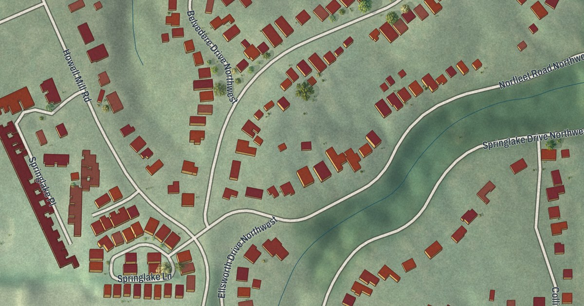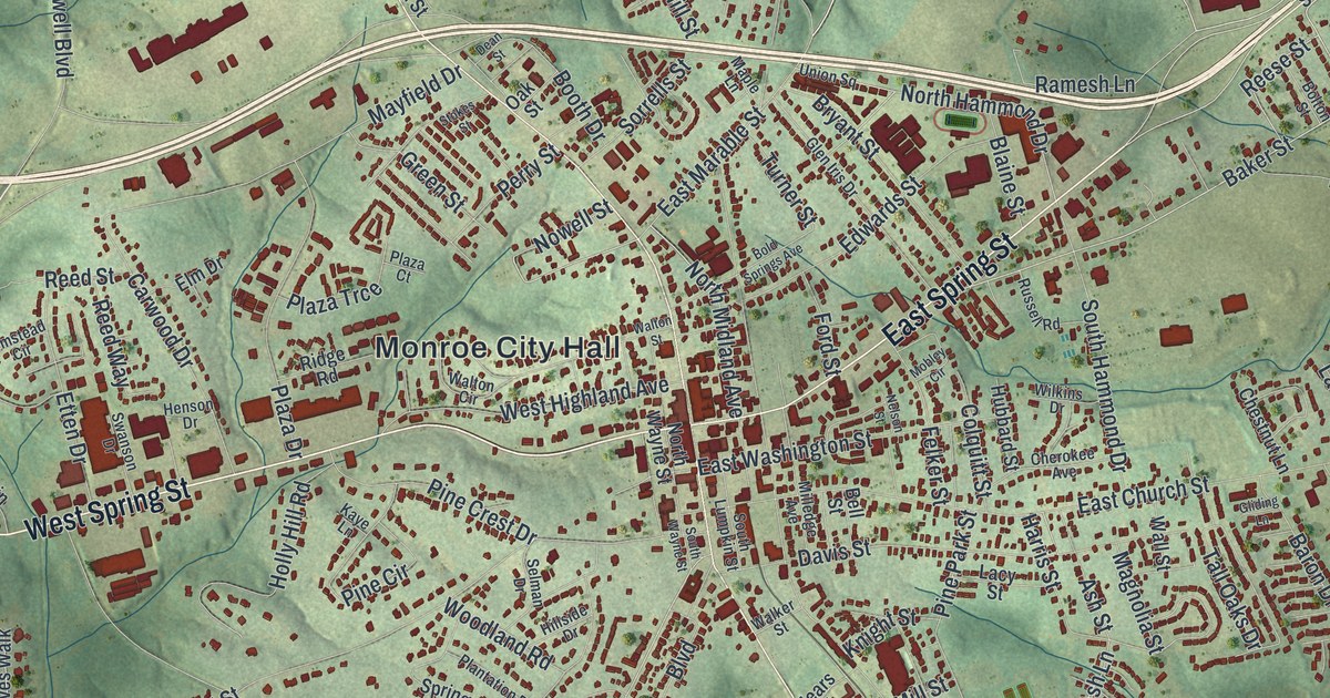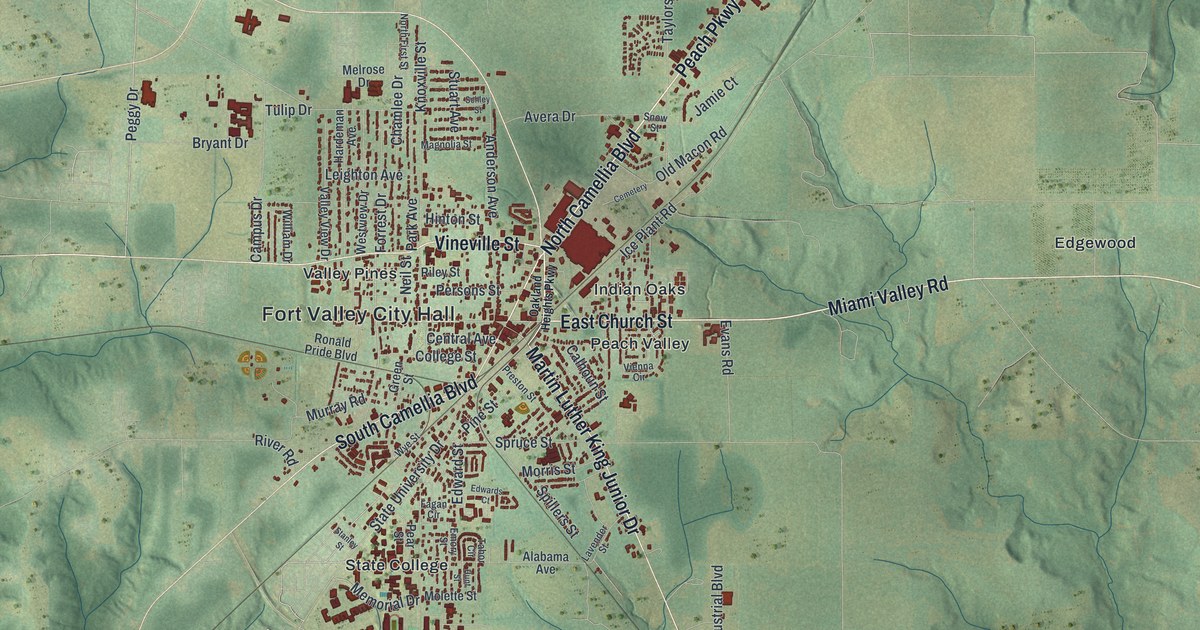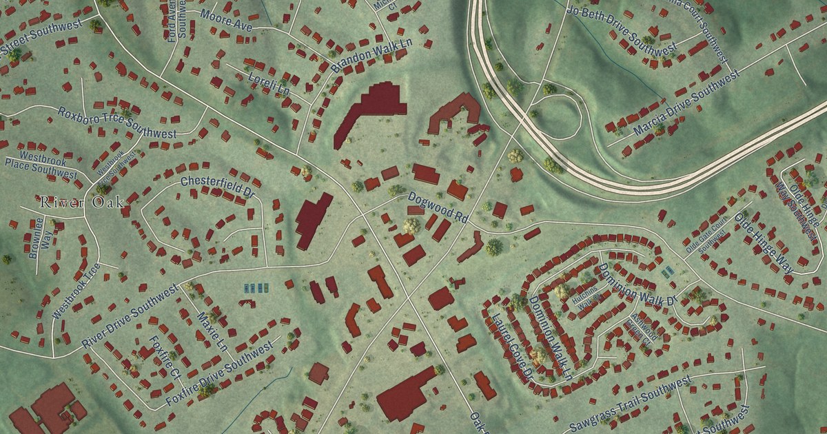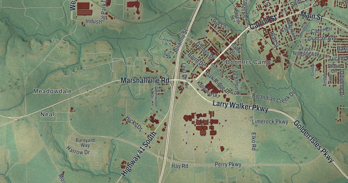
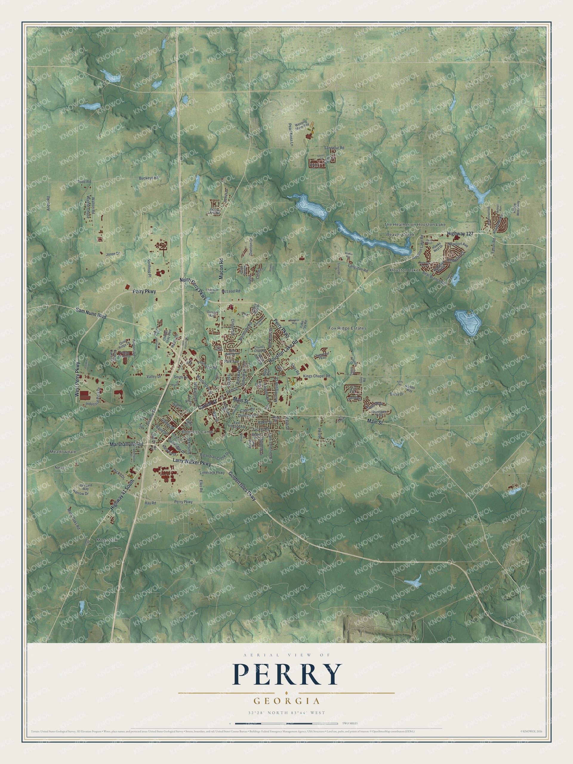
This beautifully detailed map of Perry, Georgia was created in 2026 using aerial imagery combined with modern topographical, census, street and landmark data. It’s a one-of-a-kind view of Perry that combines accurate data with a vintage aesthetic. The map shows every building in its true location, many of the roads carry their names, and the shaded topographic relief shows the shape of the land.
Explore an aerial view of Perry, Georgia
On the map you’ll find Beaver Creek, Houston Lake, Meadowdale, Moss Oak, and Neal, along with Houston Lake Road, Carroll Street, Golden Isles Parkway, Larry Walker Parkway, Marshallville Road, and more. If you look closely you can even find your house accurately drawn in its correct location. Zoom in on the preview to look for yours.
Did You Know?
Perry began in 1823 under the name Wattsville, and it was the courthouse town near the middle of Houston County. The settlers soon renamed it for Commodore Oliver Hazard Perry, a naval hero of the War of 1812. The state legislature incorporated the town on December 9, 1824.
Take a closer look at the Perry map
Names on this map
These names are printed on this map.
Places: Beaver Creek, Bonners Camp, Fox Ridge Estates, Houston Lake, Meadowdale, Moss Oak, Neal and The Heather on Houston Lake.
Streets and roads: Houston Lake Road, Carroll Street, Golden Isles Parkway, Larry Walker Parkway, Marshallville Road, North Perry Parkway, Perry Parkway, Sam Nunn Boulevard, Macon Road, Main Street, West Perry Parkway, Highway 41 South.
More street names, A to Z
Airport Road, Alice Drive, Amberley Court, Amherst Street, Andel Road, Ansley Avenue, Baird Drive, Baker Street, Ball Street, Barnyard Way, Bear Branch Road, Big Indian Creek Drive, Bobtail Run, Buckeye Road, Cater Circle, Cathy Street, Cellar Lane, Charles Gray Boulevard, Cherokee Road, Chimney Rock Road, Clifton Road, Clinton Street, Club Villa Court, Country Club Road, Daisy Drive, Davis Avenue, Dowdy Lane, Duncan Avenue, East Tolleson Avenue, Elko Road, Evergreen Street, Fairway Oaks Drive, Faye Circle, First Street, Forest Street, Frank Satterfield Road, Gaines Drive, Garden Drive, Gardner Drive, Gibson Circle, Gray Road, Grayton Way, Greenwood Drive, Gurr Road, Hampton Court, Harrow Drive, Havant Way, Haven Way, Hawks Nest Drive, Hay Road, Hicks Drive, Highway 127, Hill Lane, Hill Road, Hollow Wood Way, Idle Pines Drive, Iffie Road, Industrial Park Drive, Ivory Drive, Ivy Glen Drive, Jewell Drive, Joree Drive, Julianne Street, Keith Drive, Kellwood Drive, Kendall Court, King Circle, Kings Chapel Road, Kingston Road, Lake Joy Road, Langston Road, Lavendar Lane, Lect Drive, Legacy Park Drive, Limerock Parkway, Londie Lane, Mason Terrace, Massee Lane, McLeod Road, Morningside Drive, Moss Oaks Road, Newport Avenue, North Davis Drive, Northrop Place, Northside Road, Notting Hill Drive, Oakhill Drive, Oak Ridge Drive, Oldfield Lane, Old US 41 Road, Ousley Way, Overton Drive, Park Avenue, Parkview Grove, Parkway Drive, Pearl Moss Lane, Pebble Beach Drive, Pebble Stone Place, Perimeter Road, Pierce Street, Pine Needle Drive, Plant Drive, Plaza Drive, Quail Ridge Lane, Quinelle Drive, Rambo Way, Red Hawk Pointe, Rocky Road, Ross Street, Saint Patricks Drive, Sandefur Road, Shane Circle, Shasta Drive, Shoshone Circle, Silverside Drive, Smith Drive, Spring Creek Drive, Starbuck Drive, Stonegate Trail, Sugarloaf Parkway, Sutton Drive, Swift Street, Talton Place, Talton Road, Third Street, Thompson Road, Todd Road, Tucker Road, Valley Drive, Walton Chase, Walton Road, Warren Circle, Washington Street, Weeping Moss Way, Wf Ragin Drive, Wildfire Way, Wooden Eagle Trail, Woodlands Boulevard, Woodlawn Drive.
See it on a wall
The Perry map as a framed print. Swipe for more.


This beautifully detailed map of Perry makes an attractive addition to your office, library, or den, and it can even be used to teach children the geography and history of the area. It also makes a great gift for anyone who grew up in Perry or moved away. When you’re done exploring, click here to get your copy of the Perry map.