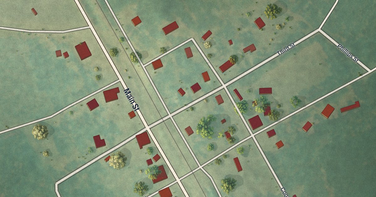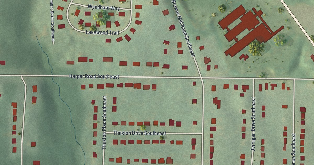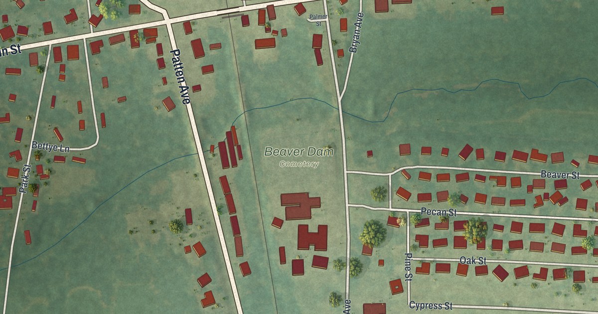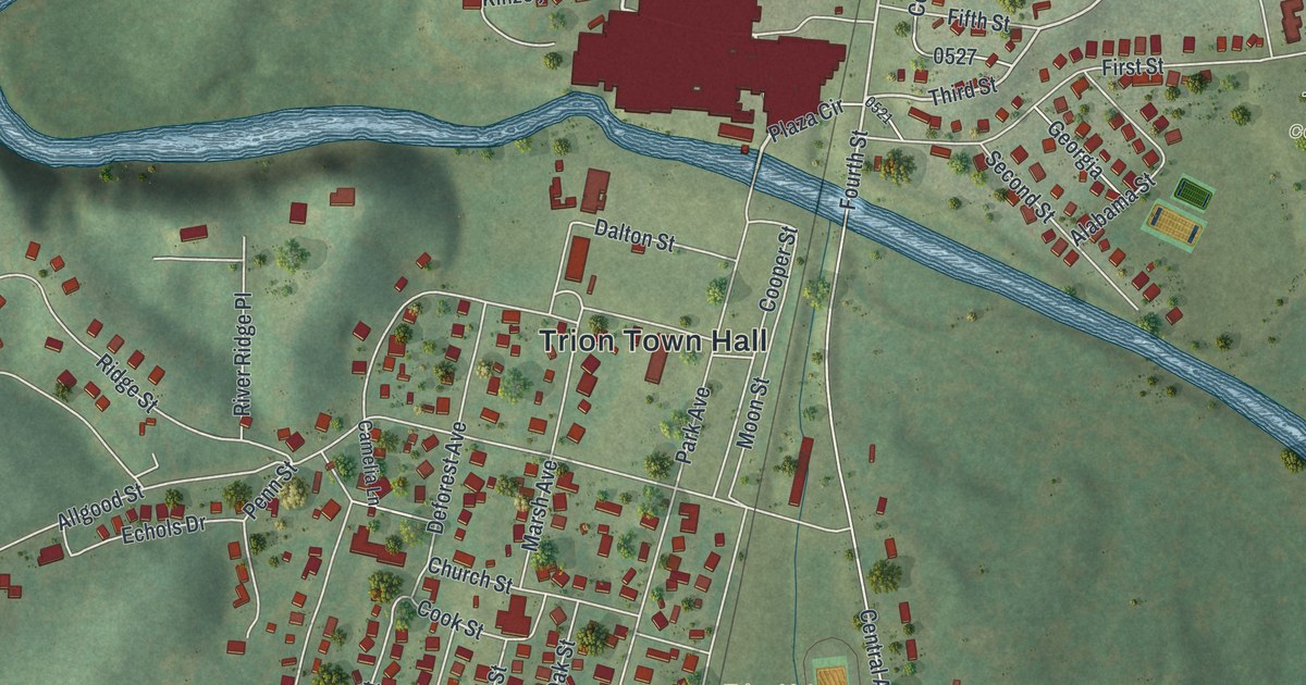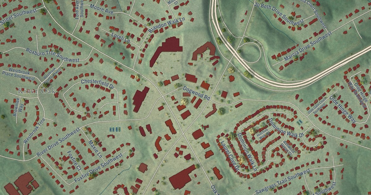
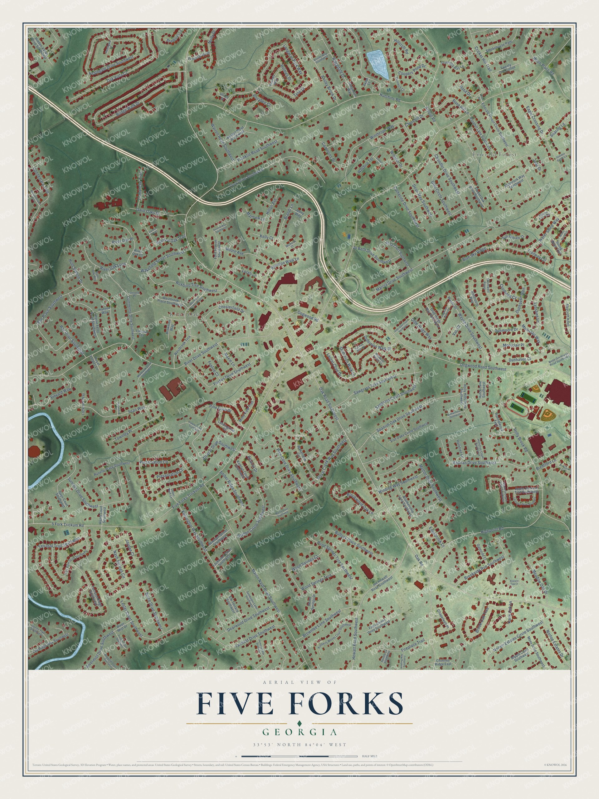
This beautifully detailed map of Five Forks, Georgia was created in 2026 using aerial imagery combined with modern topographical, census, street and landmark data. It’s a one-of-a-kind view of Five Forks that combines accurate data with a vintage aesthetic. The map shows every building in its true location, many of the roads carry their names, and the shaded topographic relief shows the shape of the land.
Explore an aerial view of Five Forks, Georgia
On the map you’ll find Emerald Forest and River Oak, along with Oak Road, Five Forks Trickum Road, Oak Road Southwest, River Drive Southwest, Dogwood Road Southwest, Hutchins Road, Highpoint Road, Preservation Circle, Bridge Walk Drive, Martin Nash Road Southwest, and more. If you look closely you can even find your house accurately drawn in its correct location. Zoom in on the preview to look for yours.
Did You Know?
From Internet Archive: "AJexander Thompson, a Revolutionary patriot, located in 1790 near Five Forks, where he built the first mill in this part of ttie State."
Five Forks is a community in Gwinnett County.
Take a closer look at the Five Forks map
Names on this map
These names are printed on this map.
Places: Emerald Forest and River Oak.
Streets and roads: Oak Road, Five Forks Trickum Road, Oak Road Southwest, River Drive Southwest, Dogwood Road Southwest, Hutchins Road, Highpoint Road, Preservation Circle, Bridge Walk Drive, Martin Nash Road Southwest, Holly Brook Road, Coopers Pond Drive.
More street names, A to Z
5 Fork Trickum Road, Alcazar Drive, Alcazar Drive Southwest, Amber Ridge Southwest, Annabee Court, Anna Court Southwest, Ansley Brook Drive, Ansley Way Southwest, Anthony Court, Apple Orchard Lane Southwest, Apple Orchard Trail Southwest, Arnold Road, Ashwood Green Court, Autumn Path Way, Axton Court, Benton Road Southwest, Blankenship Lane Southwest, Blue Sky Ridge, Brandi Lane, Brandon Walk Lane, Brentford Cv, Brentford Lane, Bricient Oak Court, Brook Oak Trce, Brookside Run Southwest, Brookwood Oak Lane, Brownlee Lane Southwest, Brownlee Way, Buice Drive Southwest, Bullock Place Southwest, Cadencia Way Southwest, Catherine Drive Southwest, Chandler Drive Southwest, Chapelwell Place, Chesterfield Drive, Chimney Ridge East, Churchill Drive, Comanche Trail, Commons Drive, Connemara Trce, Continental Drive Southwest, Cricket Hill Trail, Cromwell Cv, Cromwell Point, Deanna Way Southwest, Dean Way Southwest, Dearwood Drive Southwest, Devonshire Place, Dogwood Farms Place, Dogwood Road, Dominion Walk Drive, Dominion Walk Lane, Dunhaven Court, Dunhaven Glen, Dunmoore Drive, Dunmoore Way, Eagle Crossing Drive, Edgebrook Lane, Elk Terrace Southwest, Emerald Forest Circle Southwest, Fairfield Drive Southwest, Falconhurst Drive Southwest, Fireplace Trail, Five Oaks Circle Southwest, Ford Avenue Southwest, Forest Oak Drive Southwest, Foxfire Court, Foxfire Drive Southwest, Franklin Road Southwest, Garmon Oak Court, Garmon Oak Trail, Gateside Court, Glen Circle Southwest, Golden Circle Southwest, Golden Eagle Lane, Guys Court Southwest, Gwens Trail Southwest, Gwin Oaks Drive, Hadrian Drive Southwest, Hansen Way, Hazel Court Southwest, Heathgate Court, Heathgate Drive Southwest, Hewatt Road Southwest, Hidden Valley Drive Southwest, Hillcroft Road, Hilton Avenue, Holly Hills Drive Southwest, Hollytree Court Southwest, Hollytree Lane, Holmes Drive, Holmes Way, Horse Ferry Road Southwest, Hunt Station Drive, Hutchins Walk Court, Hutch Lane Southwest, Jade Drive, Jaydee Court, Jenny Way, Jewel Nash Lane, Jo Beth Drive Southwest, Joe Hewatt Road Southwest, Karis Oak Lane, Katelyn Court Southwest, Kelly Court, Kelvington Way Southwest, Kenswick Circle, Kimberly Woods Court Southwest, Kindling Way Southwest, Landingview Court, Laurel Cove Drive, Lechemin Drive Southwest, Lee Ridge Way Southwest, Lester Court Southwest, Lincoln Place, Lincoln Terrace, Lockriver Way, Lockwood Court Southwest, Longacre Park Way, Loreli Lane, Lynshire Lane, Marbrook Drive Southwest, Marcia Drive Southwest, Martin Drive Southwest, Matthew Lane, Maxie Lane, Maycroft Knoll, Meadow Oak Drive, Melton Drive Southwest, Michelle Court, Misty View Trail, Molly Drive, Montclair Place, Montclair Way, Moon Place Road, Moore Avenue, Moss Drive Southwest, Mossy Branch Drive, Nash Springs Circle, Nathan Court Southwest, Newburn Street Southwest, Norton Estates Circle Southwest, Norton Estates Drive, Oak Vista Court, Olde Gate Court Southwest, Olde Hinge Way, Olde Hinge Way Southwest, Pendergrast Drive, Pine Cove Drive, Pine Cove Drive Southwest, Pond Springs Trce Southwest, Preservation Court, Preston Court Southwest, Rae Drive Southwest, Rae Place Southwest, Rememberance Trce, Ridgedale Drive, Ridgedale Way, Ripple Court Southwest, Rising Moon Trail, River Mist Drive, Rivermist Drive Southwest, River Oak Court, River Oak Loop, River Oak Place, River Oak Way, Rosa Drive, Rose Hill Lane, Rosehill Lane Southwest, Roxboro Trce Southwest, Royal Creek Way Southwest, Royal Estates Lane, Runelle Place Southwest, Runnelwood Trail, Sandpiper Lane Southwest, Sawgrass Court Southwest, Sawgrass Trail Southwest, Sean Way, Shadetree Lane, Shamrock Way Southwest, Skuttle Cv Southwest, Smokehouse Path, Soaring Lane, Somerset Way Southwest, Spanish Oak Drive Southwest, Summie Drive Southwest, Sun Sparkle Court, Terrasol Ridge Southwest, Terrasol Trail Southwest, Terra View Drive Southwest, Thorn Road, Tony Drive Southwest, Townley Place, Trailway Circle, Trombley Bay Lane, Twenty One Cotton, Tyne Drive, Ulrich Drive, Van Court, Vinyard Way, Wakefield Street Southwest, Wakerobin Circle, Warren Road Southwest, Water Shine Way, Wayne Drive, Wayne Drive Southwest, Webb Gin House Road Southwest, Westbrook Place Southwest, Westbrook Trce, Westbrook Trce Southwest, Wilshire Terrace, Winding Way Southwest, Winston Drive, Winthrope Way, Woodcliff Court Southwest, Wood Springs Court, Wood Springs Drive, Wood Springs Trce.
See it on a wall
The Five Forks map as a framed print. Swipe for more.


This beautifully detailed map of Five Forks makes an attractive addition to your office, library, or den, and it can even be used to teach children the geography and history of the area. It also makes a great gift for anyone with Five Forks roots. When you’re done exploring, click here to get your copy of the Five Forks map.