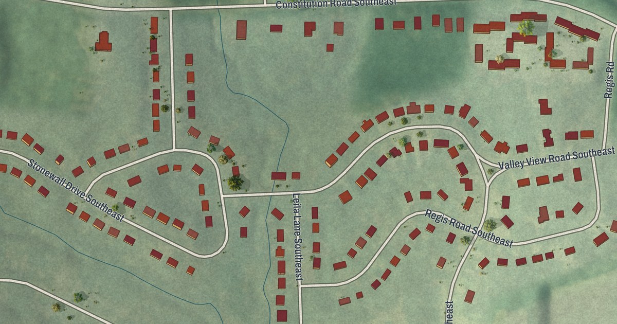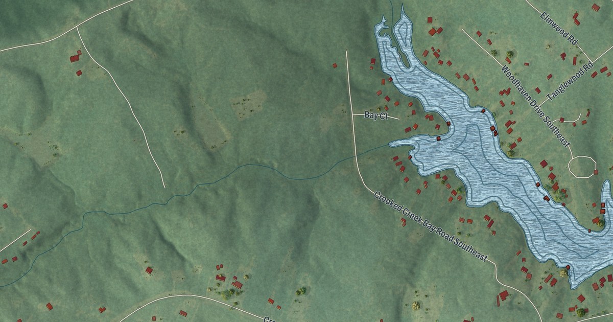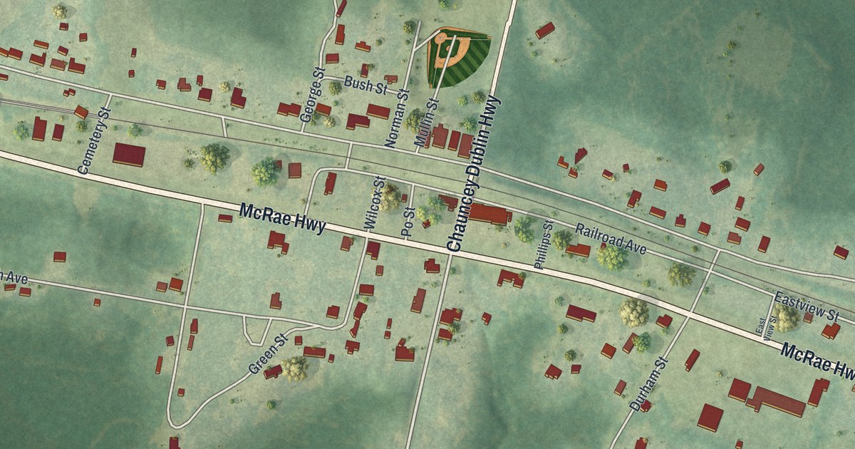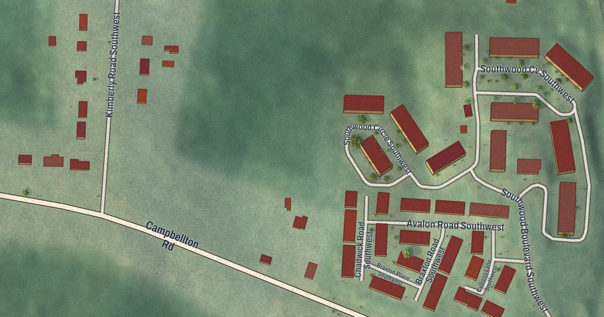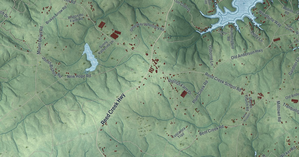
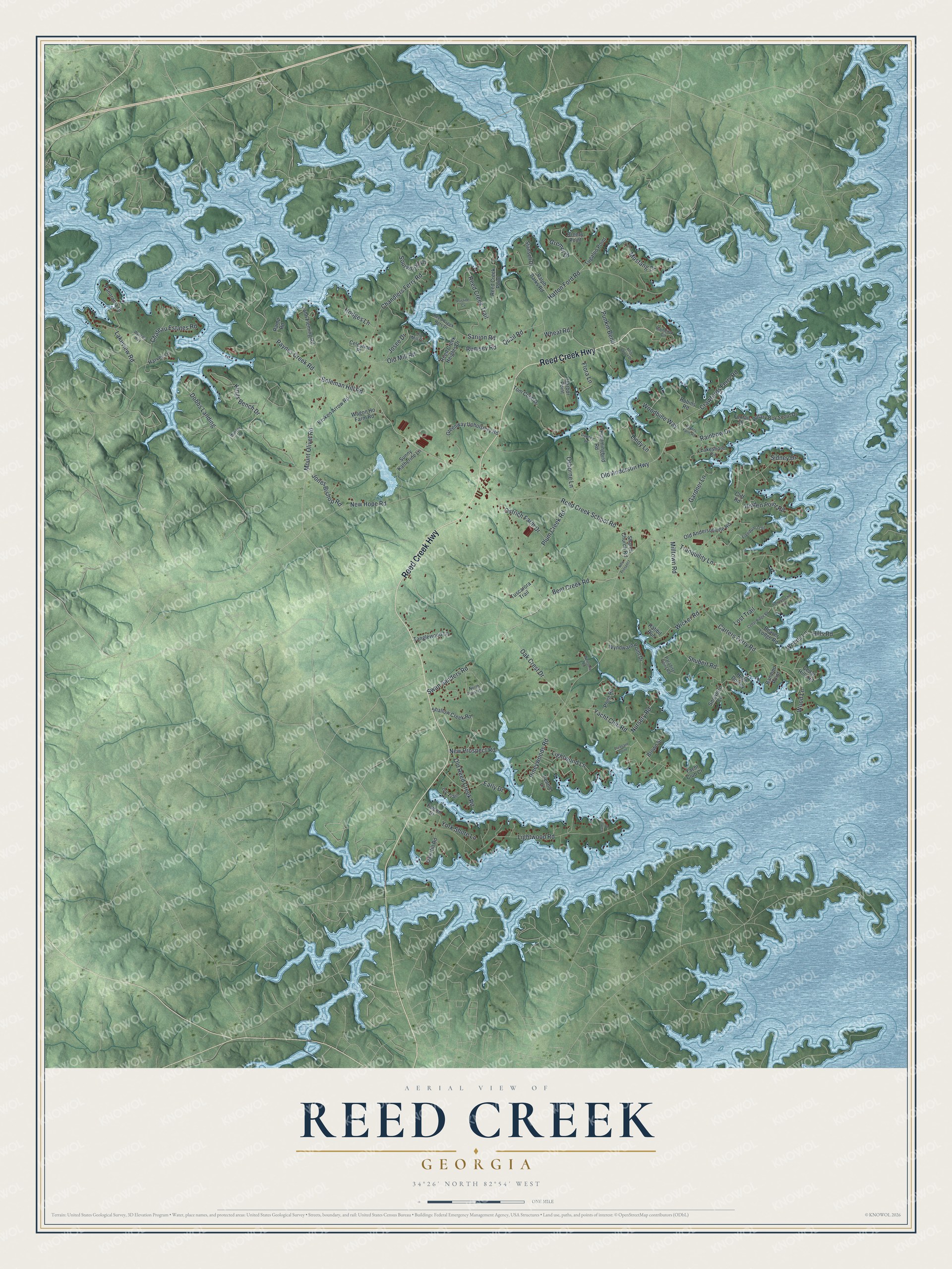
This beautifully detailed map of Reed Creek, Georgia was created in 2026 using aerial imagery combined with modern topographical, census, street and landmark data. It’s a one-of-a-kind view of Reed Creek that combines accurate data with a vintage aesthetic. The map shows every building in its true location, many of the roads carry their names, and the shaded topographic relief shows the shape of the land.
Explore an aerial view of Reed Creek, Georgia
On the map you’ll find Dobbs Landing, along with Reed Creek Highway, Mount Olivet Road, Boleman Hill Road, Oak Crest Drive, Reed Creek School Road, Bent Creek Road, Old Anderson Highway, Paynes Creek Road, Rainbow Drive, Hodges Lane, Yacht Club Road, and more. If you look closely you can even find your house accurately drawn in its correct location. Zoom in on the preview to look for yours.
Did You Know?
In 1917 the Reed Creek School was run by principal Annie Holbrook with two assistant teachers, Bertha and Lizzie Crawford. Together they taught nine grades to 132 enrolled pupils in a three-room schoolhouse on a two-acre lot, over a school year of five months. That's from the Georgia Department of Education.
Take a closer look at the Reed Creek map
Names on this map
These names are printed on this map.
Streets and roads: Reed Creek Highway, Mount Olivet Road, Boleman Hill Road, Oak Crest Drive, Reed Creek School Road, Bent Creek Road, Old Anderson Highway, Paynes Creek Road, Rainbow Drive, Hodges Lane, Dobbs Landing, Yacht Club Road.
More street names, A to Z
717 Drive, Attis Pointe Drive, Bakers Farm Road, Bamboo Point, Beaver Lodge Road, Breezy Point, Broken Arrow Road, Brown Street, Camlot Drive, Carters Ferry Road, Cedar Hills Road, Cedar Ridge Road, Celestine Place, Chandlers Ferry Road, Chateau Estates Road, Cliff Road, Crawfords Ferry Road, Dundee Lane, Early Drive, Falcon Drive, Flora Lane, Foxtail Drive, Freedom Trail, Gardner Lane, Greenway Upholstery Road, Gremul Drive, Harbor Point, Harvey Lane, Hatton Ford Road, Hidden Point Road, Hills Road, Honeysuckle Lane, Hugh Dorsey, Hummingbird Road, Ivy Trail, John Fleming Road, Jones Bishop Road, Josee Drive, Kings Bench Drive, Lakeshore Circle, Lakeview Road, Lightwood Lane, Lightwood Road, Lindy Lane, Lost Trail, Milltown Road, Mustang Drive, New Hope Road, New Prospect, New Prospect Road, North Point Circle, Nursery Road, Oak Hill Road, Old Andersonville Road, Old Mill Circle, Old Mill Road, Old Reed Creek Road, Osborne Lane, Ostrich Farm Drive, Panorama Drive, Paradise Point Road, Pennie Lane, Pineywoods Road, Pleasant Point, Plum Creek Road, Point Road, Pristine Cv, Punkin Bend, Quail Road, Rabbit Run, Raindrop Circle, Ralph Parks Road, Ramp Road, Reed Creek Heights Drive, Reed Creek Hgts Drive, Reed Creek Point, Reed Creek Trail, Robins Road, Rotary Boy Scout Drive, Rumsey Road, Sarijon Road, Shallow Creek Road, Sharon Church Road, Shubert Road, Sidney Drive, Snowbird Lane, Sourwood Lane, Stansell Drive, Sunny Katherine Lane, Swan Sanders Road, Tanglewood Lane, Tom Cobb Drive, Tranquility Lane, Tugaloo Point, Tuscarora Trail, Wagon Ho Farm Road, Welcome Road, Wheat Road, Wicker Road, Winter Lane, Woodbine Way, Wood Lane, Woods Lane, Wyncott Way, Wyndward Point Drive, Yacht Club Court, York Shore Lane.
See it on a wall
The Reed Creek map as a framed print. Swipe for more.


This beautifully detailed map of Reed Creek makes an attractive addition to your office, library, or den, and it can even be used to teach children the geography and history of the area. It also makes a great gift for anyone who grew up in Reed Creek or moved away. When you’re done exploring, click here to get your copy of the Reed Creek map.