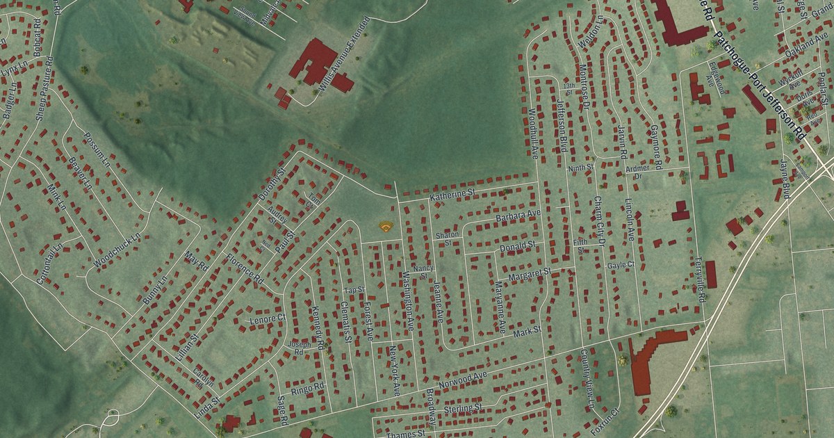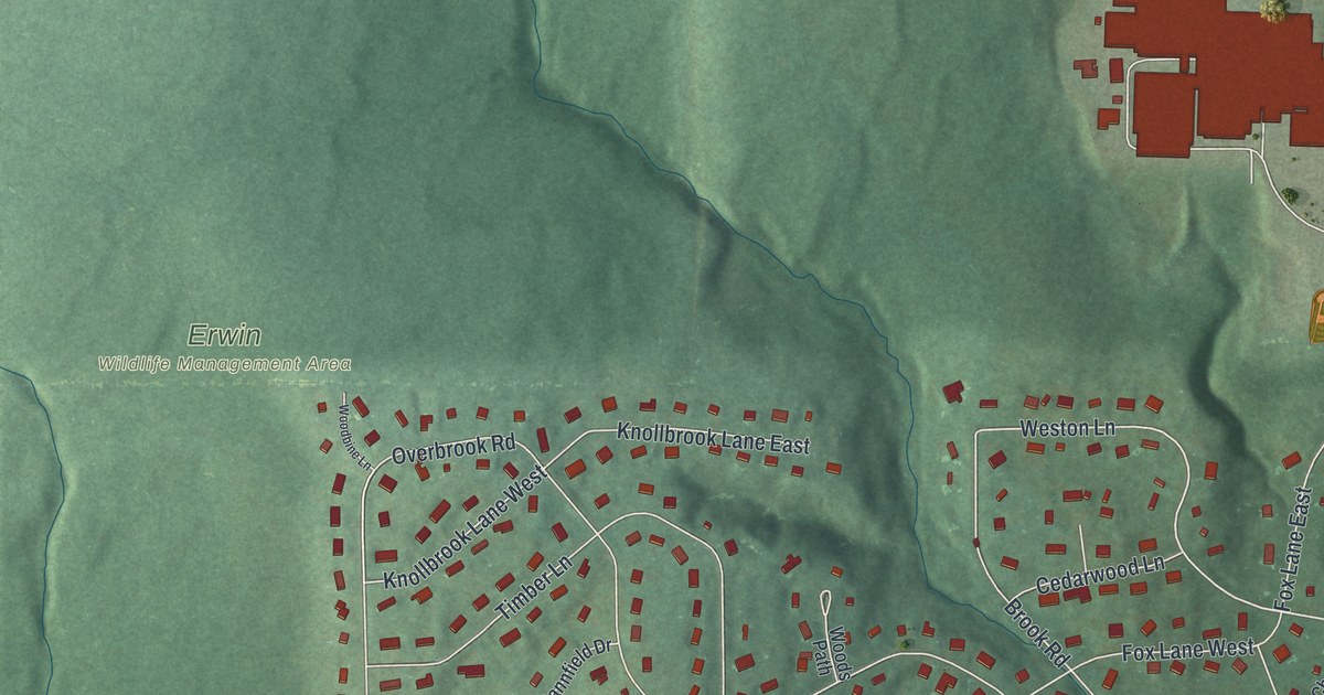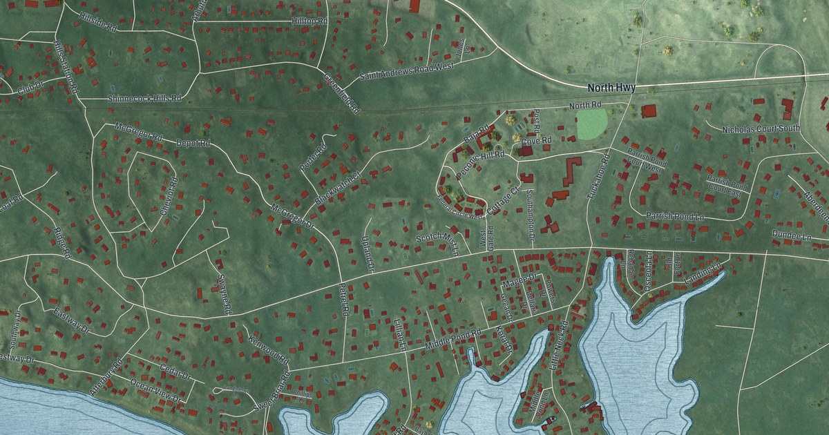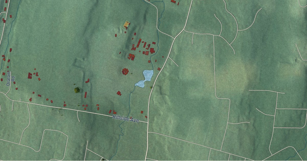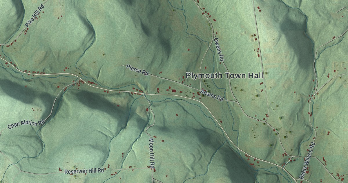
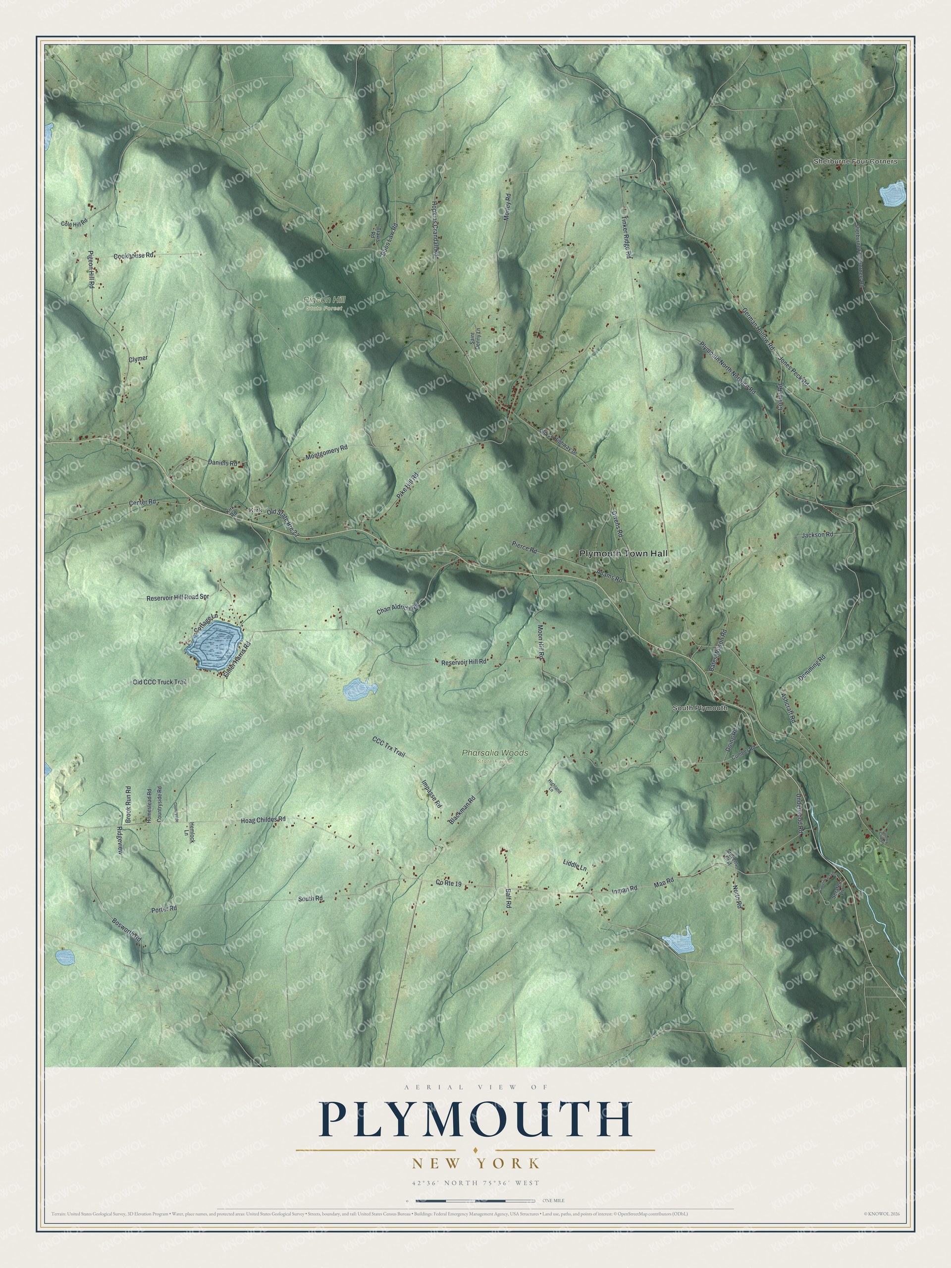
This beautifully detailed map of Plymouth, New York was created in 2026 using aerial imagery combined with modern topographical, census, street and landmark data. It’s a one-of-a-kind view of Plymouth that combines accurate data with a vintage aesthetic. The map shows every building in its true location, many of the roads carry their names, and the shaded topographic relief shows the shape of the land.
Explore an aerial view of Plymouth, New York
On the map you’ll find Plymouth Town Hall, Sherburne Four Corners, South Plymouth, Kirk, Pharsalia Woods State Forest, and Pigeon Hill State Forest, along with German Hollow Road, Hoag Childes Road, Ashcraft Road, Man Road, and more. If you look closely you can even find your house accurately drawn in its correct location. Zoom in on the preview to look for yours.
Did You Know?
Families began settling Plymouth around 1794. Because some early residents were French, people also called the place Frenchtown or Francistown. John Young, father of the Mormon leader Brigham Young, once lived in a cabin here. The town was formed from Norwich on April 7, 1806.
Take a closer look at the Plymouth map
Names on this map
These names are printed on this map.
Places: Plymouth Town Hall, Sherburne Four Corners, South Plymouth, Kirk, Pharsalia Woods State Forest and Pigeon Hill State Forest.
Streets and roads: German Hollow Road, Hoag Childes Road, Old State Route 23, Ashcraft Road, Man Road, Reservoir Hill Road, Cookhouse Road, Tinker Ridge Road, Plymouth North Norwich Road, Doing Road, CCC Trx Trail, Bates Wilson Road.
More street names, A to Z
Adams Road, Balf Road, Blackman Road, Boos Law Road, Bosworth Road, Brook Run Road, Canasawacta Terrace, Center Road, Chan Aldrich Road, Clymer, Cole Hill Road, Collier Road, Cottage Lane, Country Club Lane, Countryside, Countryside Road, County Route 19, Cumber Road, Daniels Road, Demming Road, Elmer Harris Road, Hemlock Lane, Highland Lane, Homestead Road, Hopkins Crandall Road, Impasse Road, Inman Road, Jackson Road, Jones Peck Road, Kirk Road, Liddle Lane, Montgomery Road, Moon Hill Road, Morley Road, North Road, Old CCC Truck Trail, Old County Highway 16, Owens Road, Pierce Road, Pigeon Hill Road, Pike Hill Road, Porter Road, Reservoir Hill Road Spr, Ridgeview, Saint Denny Lane, Serafen Lane, Sherburne Four Corners Road, South Road, Stevens Crst, Travis Road, Underwood Road.
See it on a wall
The Plymouth map as a framed print. Swipe for more.


This beautifully detailed map of Plymouth makes an attractive addition to your office, library, or den, and it can even be used to teach children the geography and history of the area. It also makes a great gift for someone who left Plymouth and still calls it home. When you’re done exploring, click here to get your copy of the Plymouth map.