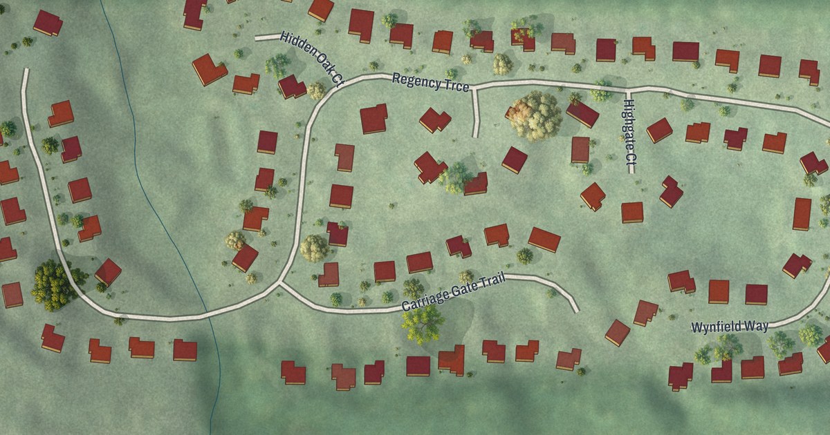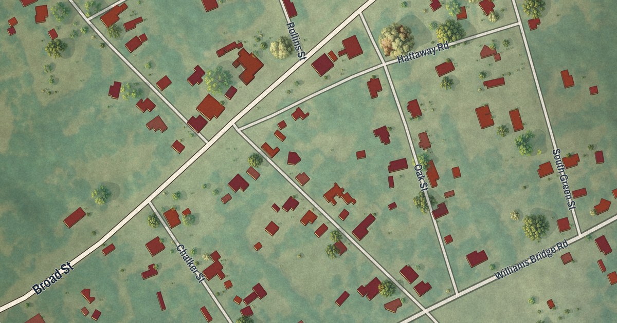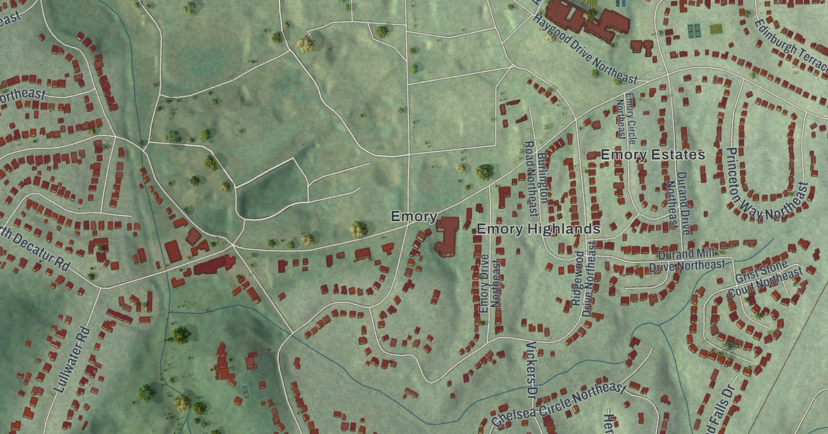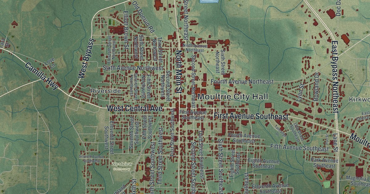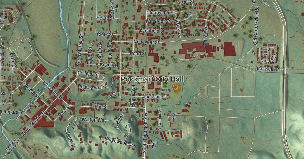
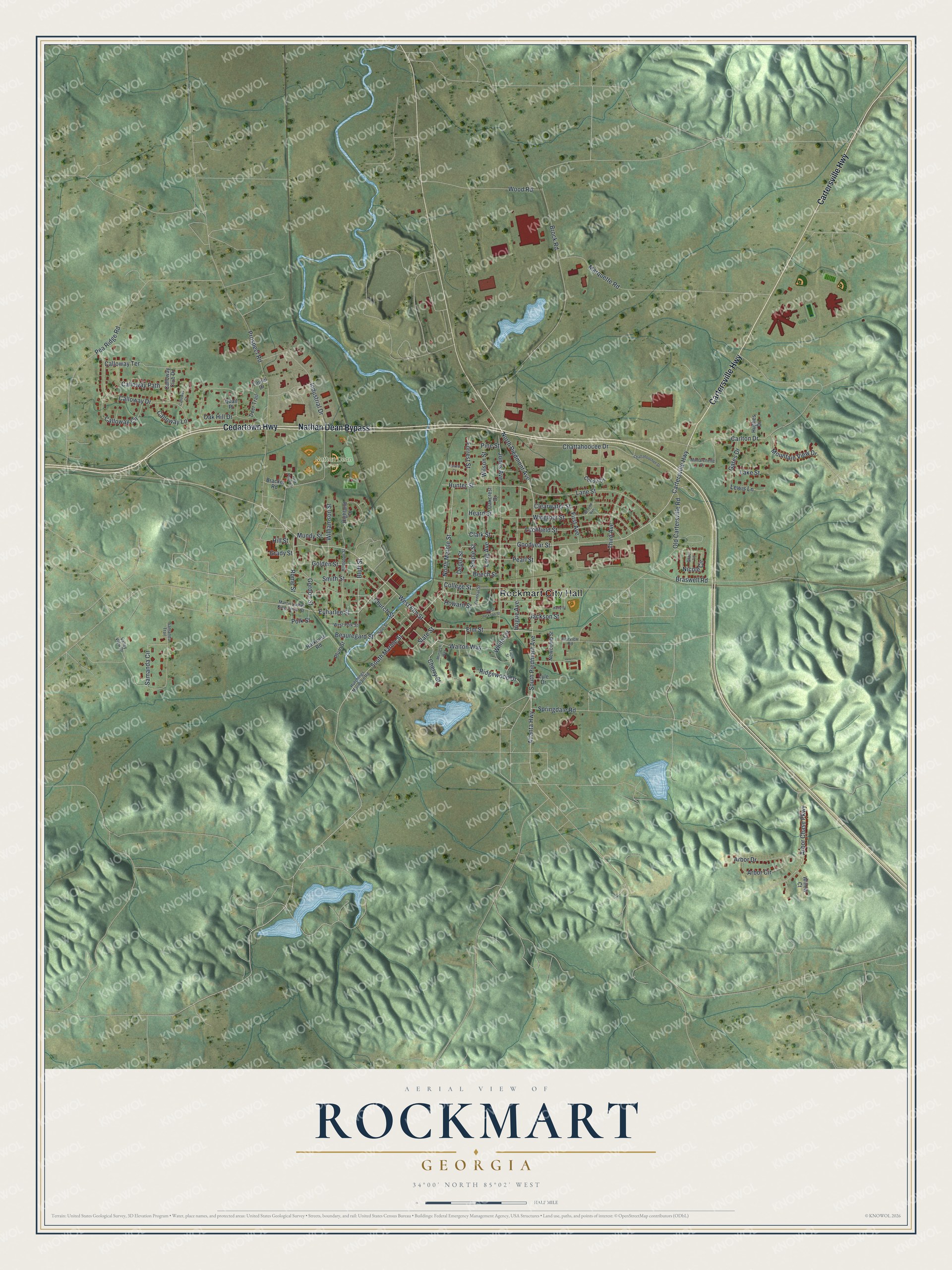
This beautifully detailed map of Rockmart, Georgia was created in 2026 using aerial imagery combined with modern topographical, census, street and landmark data. It’s a one-of-a-kind view of Rockmart that combines accurate data with a vintage aesthetic. The map shows every building in its true location, many of the roads carry their names, and the shaded topographic relief shows the shape of the land.
Explore an aerial view of Rockmart, Georgia
On the map you’ll find Rockmart City Hall and Nathan Dean Park, along with Cartersville Highway, Nathan Dean Bypass, Cedartown Highway, Piedmont Avenue, and more. If you look closely you can even find your house accurately drawn in its correct location. Zoom in on the preview to look for yours.
Did You Know?
Rockmart’s name was made by joining two words, rock and mart. It pointed to the town’s chief industry, its stone quarries. Those quarries became known around the world. By 1913, nearby Van Wert had become only a suburb of Rockmart. That’s from the 1913 Georgia’s Landmarks and Legends.
Take a closer look at the Rockmart map
Names on this map
These names are printed on this map.
Places: Rockmart City Hall and Nathan Dean Park.
Streets and roads: Cartersville Highway, Nathan Dean Bypass, Cedartown Highway, North Piedmont Avenue, West Elm Street, Elm Street, South Piedmont Avenue, Rome Street, North Marble Street, South Marble Street, Goodyear Street, Atlanta Highway.
More street names, A to Z
Arbor Chase Parkway, Arbor Circle, Arbor Drive, Beauregard Street, Beech Street, Bluff Street, Bracket Road, Braswell Road, Brock Road, Calloway Circle, Calloway Club Drive, Calloway Court, Calloway Drive, Calloway Lane, Calloway Path, Calloway Terrace, Carlton Drive, Central Street, Chattahoocee Drive, Chattahoochee Drive, Cherry Street, Church Street, Clark Street, Clearwater Street, College Street, Coosa Drive, Deer Trail, Depot Street, Eagle Street, Euharlee Street, Fairview Road, First Avenue, Forrest Court, Forrest Street, Gates Drive, Golden Street, Gordon Street, Grady Street, Hampton Street, Harkness Road, Heard Street, Highland Drive, Hill Street, Hogue Avenue, Howard Street, Hughes Drive, Hunter Street, Hutchings Mountain Road, Industrial Drive, Jackson Street, Jones Avenue, Kelly Street, Lake Street, Lane Street, Laurel Drive, Lewis Lane, Litchfield Street, Long Avenue, Lyle Drive, Marquette Road, Martin Luther King Junior Street, Mimarchelle Drive, Monarch Way, Mountain View Drive, Mundy Street, Newcomb Street, Nicole Circle, Oakcrest Drive, Oak Hill Drive, Old Cartersville Road, Park Place Circle, Pea Ridge Road, Pearl Street, Pine Street, Plum Street, Polk Street, Prospect Road, Quail Place, Ridgewood Drive, Samanda Circle, Samanda Trail, Sciple Street, Second Avenue, Slate Street, Smith Street, Springdale Road, Staci Lane, Third Avenue, Valley View Drive, Walton Way, Water Street, West Jackson Street, West Polk Street, White Circle, Williamson Street, Willow Court, Wilson Street, Wingfoot Street, Wood Road.
See it on a wall
The Rockmart map as a framed print. Swipe for more.


This beautifully detailed map of Rockmart makes an attractive addition to your office, library, or den, and it can even be used to teach children the geography and history of the area. It also makes a great gift for someone who left Rockmart and still calls it home. When you’re done exploring, click here to get your copy of the Rockmart map.