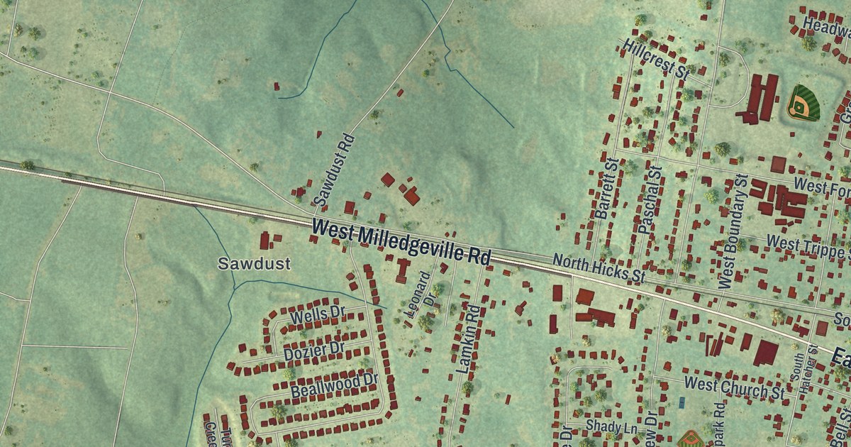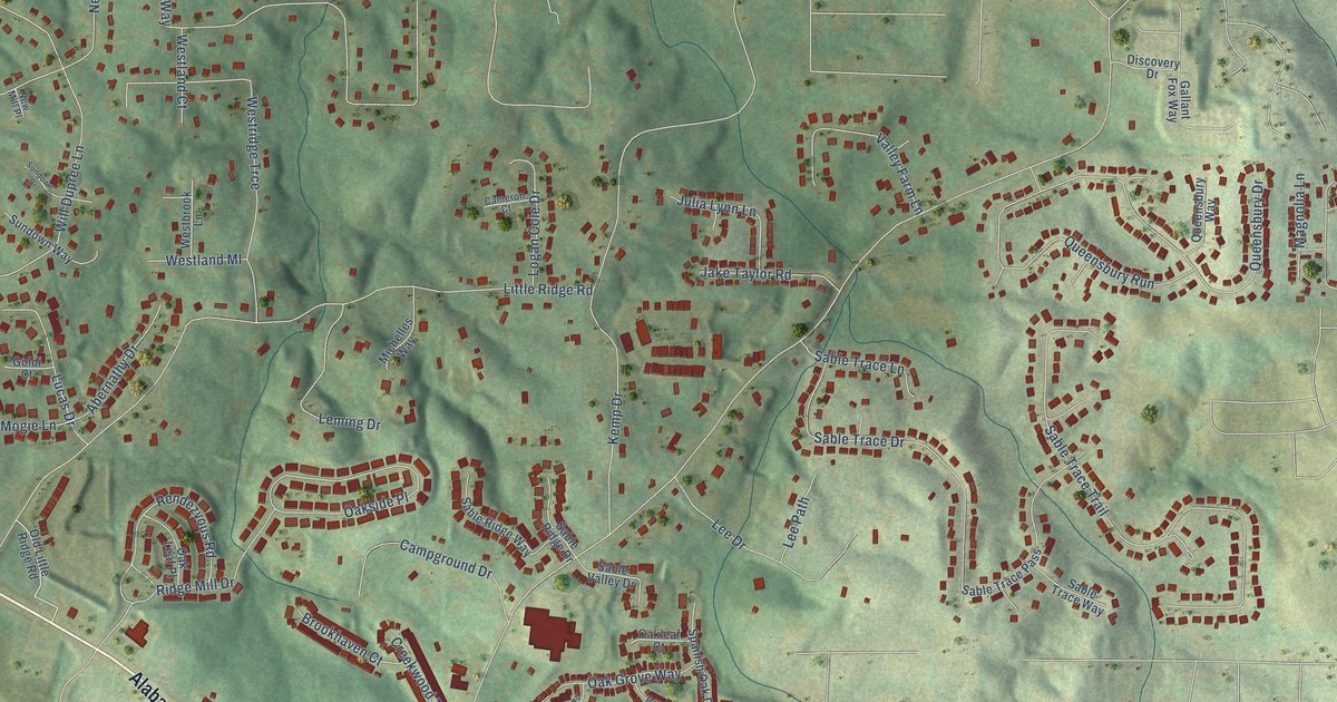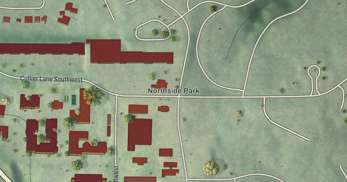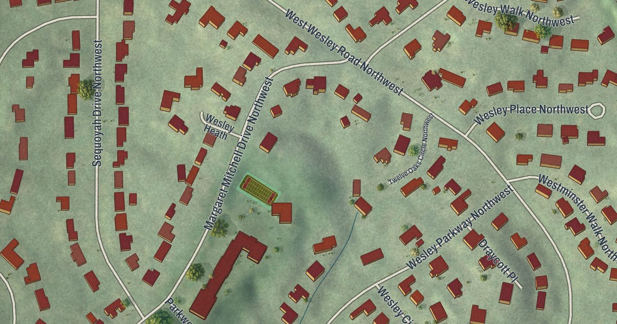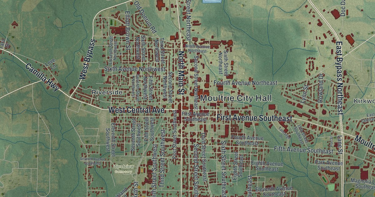
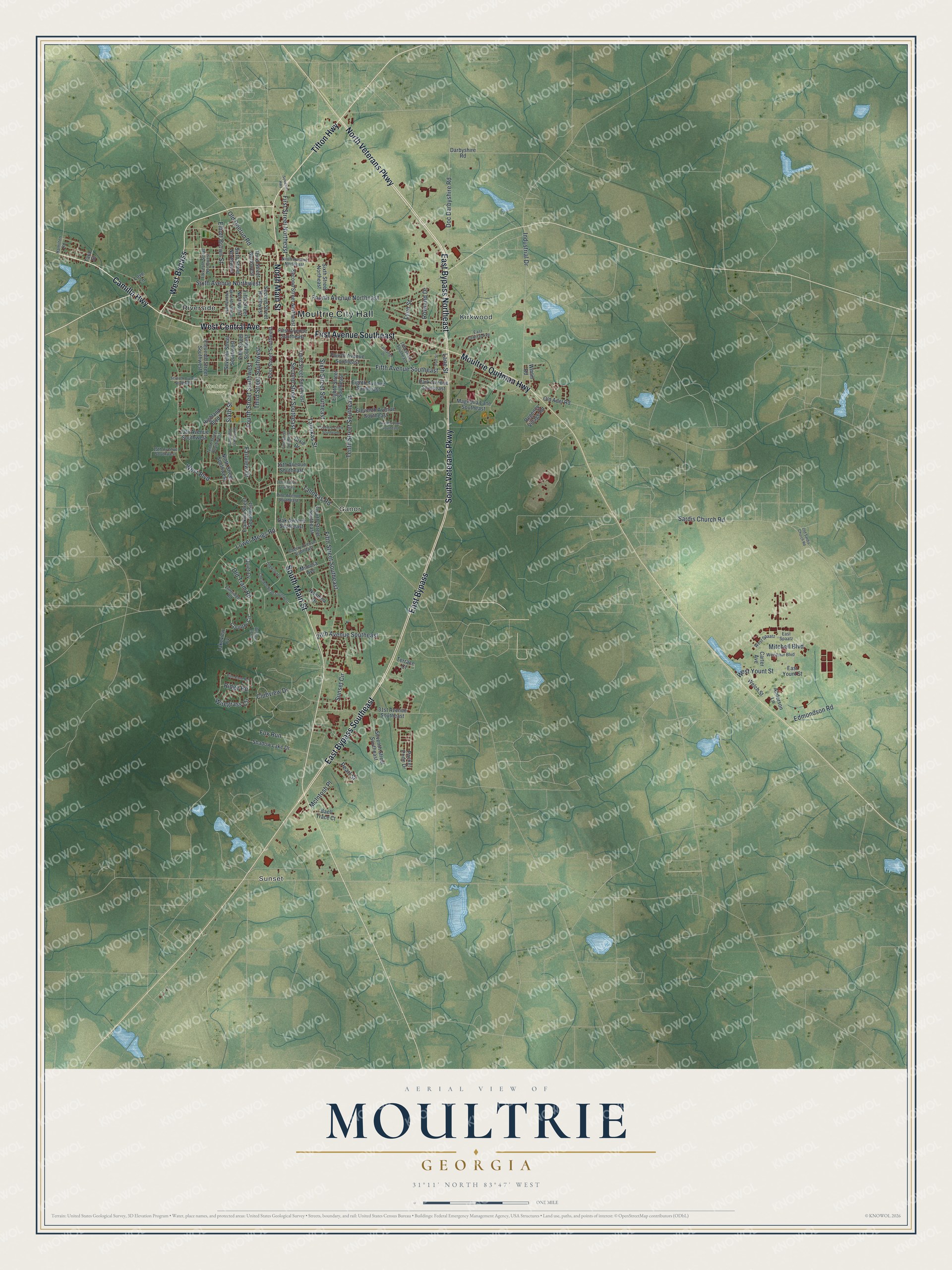
This beautifully detailed map of Moultrie, Georgia was created in 2026 using aerial imagery combined with modern topographical, census, street and landmark data. It’s a one-of-a-kind view of Moultrie that combines accurate data with a vintage aesthetic. The map shows every building in its true location, many of the roads carry their names, and the shaded topographic relief shows the shape of the land.
Explore an aerial view of Moultrie, Georgia
On the map you’ll find Moultrie City Hall, Sunset, Kirkwood, Ganor, Riverside, and Westview Cemetery, along with West Bypass, Main Street, Central Avenue, Camilla Highway, and more. If you look closely you can even find your house accurately drawn in its correct location. Zoom in on the preview to look for yours.
Did You Know?
The town was known as Ochlockoney until 1859. Its new name honored General William Moultrie, a hero of the Revolutionary War. A fort was named for him after the successful defense of Charleston against the British. The city flag copies his wartime design. It shows a white crescent bearing the word Liberty on a blue field.
Take a closer look at the Moultrie map
Names on this map
These names are printed on this map.
Places: Moultrie City Hall, Sunset, Kirkwood, Ganor, Westview Cemetery and Riverside.
Streets and roads: West Bypass, North Main Street, West Central Avenue, Camilla Highway, North Veterans Parkway, East Bypass, South Main Street, East Bypass Northeast, First Avenue Southeast, East Bypass Southeast, Tifton Highway, South Veterans Parkway.
More street names, A to Z
13th Avenue Southwest, 15th Avenue Southeast, 15th Avenue Southwest, 15th Street Southeast, 17th Avenue Southeast, 26th Avenue Southeast, 31st Avenue Southeast, Anderson Lane, Baell Trace Court, Carter Avenue, Cherokee Road Southwest, Cherry Avenue Southeast, Clubview Drive, Country Circle, Coventry Circle Southeast, Darbyshire Road, Dixie Drive, Doc Darbyshire Road, Dogwood Drive, East Central Avenue, East Spaatz, East Yount Street, Edmondson Road, Eighth Avenue Southeast, Eighth Street Southeast, Eleventh Avenue Southeast, Eleventh Street Northwest, Eleventh Street Southwest, Elliott Brown Street, Fairview Drive, Fifth Avenue Southeast, Fifth Street Northwest, Fifth Street Southeast, Fifth Street Southwest, First Street Northeast, First Street Southeast, First Street Southwest, Flintridge Road, Fourth Avenue Northeast, Fourth Avenue Southeast, Fourth Street Southeast, Fourth Street Southwest, Fox Run, Franklin Street Southwest, Hamilton Road, Highland Boulevard, Industrial Drive, Lakeview Cv, Lane Street, Love Lane, Lower Meigs Road, Lynn Street, Magnolia Lane Southeast, McIntosh Place, Mimosa Avenue, Mitchell Boulevard, Moultrie Quitman Highway, Nandina Drive, Ninth Avenue Northeast, Ninth Street Southwest, Oak Avenue Southeast, Old Adel Road, Old Doerun Road, Old Sardis Church Road, Old Tram Road, Packer Pride Drive, Park Avenue Southeast, Pearl Street, Pine Avenue Southeast, Pine Cone Road, Port Street, Quail Crossing, Quiet Cv, Regency Village Road, Ridge Road, Rowland Drive, Sardis Church Road, Second Street Northeast, Second Street Northwest, Second Street Southeast, Seventh Avenue Southwest, Seventh Street Northwest, Seventh Street Southeast, Seventh Street Southwest, Shadow Lake Drive, Sixth Avenue Northwest, Sixth Street, Sixth Street Northeast, Sixth Street Northwest, Sixth Street Southeast, Sixth Street Southwest, Sunset Circle, Sylvester Highway, Tallokas Road, Tallokas Street, Talmadge Drive, Tara Street, Tenth Street Southeast, Tenth Street Southwest, Terrace Court, Third Street Northwest, Third Street Southeast, Third Street Southwest, Twelfth Court Southeast, Weishaur Boulevard, Welch Street, West Boulevard, West Spaatz, West Yount Street, Wiregrass Circle, Wmtm Road.
See it on a wall
The Moultrie map as a framed print. Swipe for more.


This beautifully detailed map of Moultrie makes an attractive addition to your office, library, or den, and it can even be used to teach children the geography and history of the area. It also makes a great gift for anyone with Moultrie roots. When you’re done exploring, click here to get your copy of the Moultrie map.