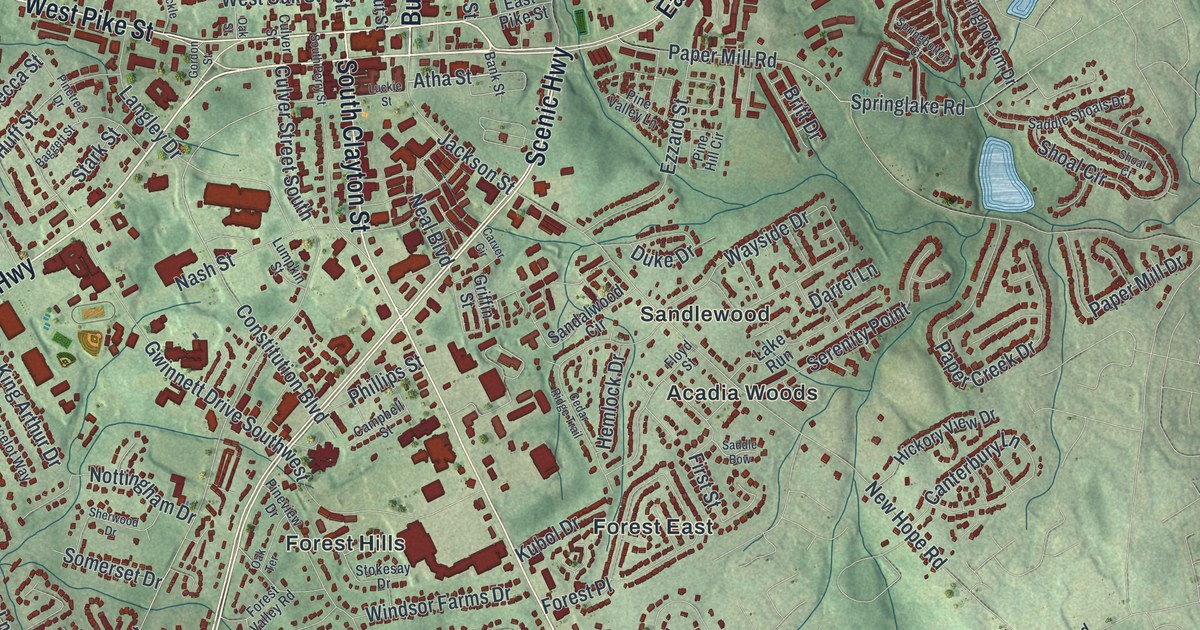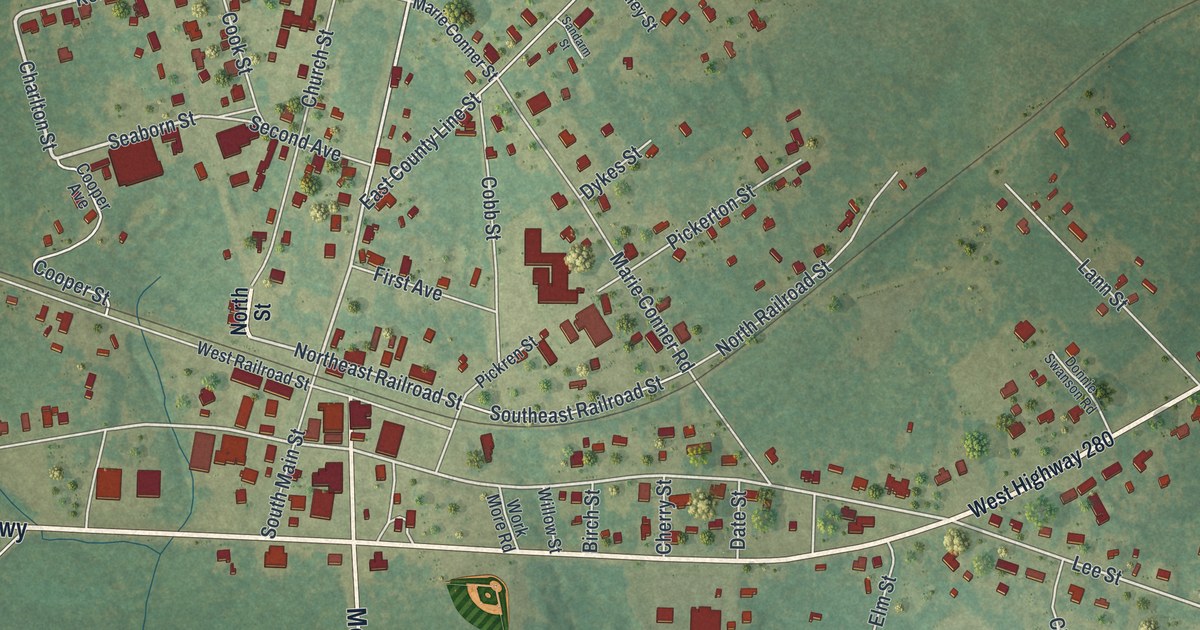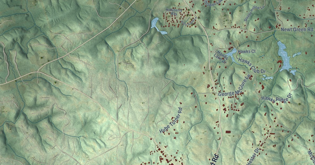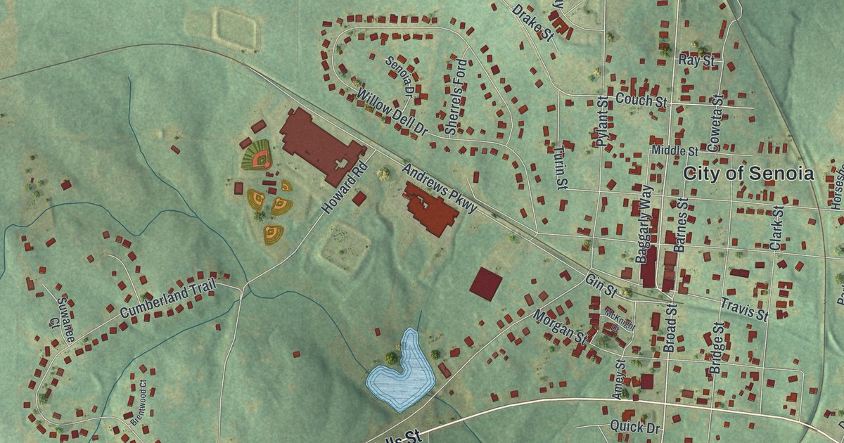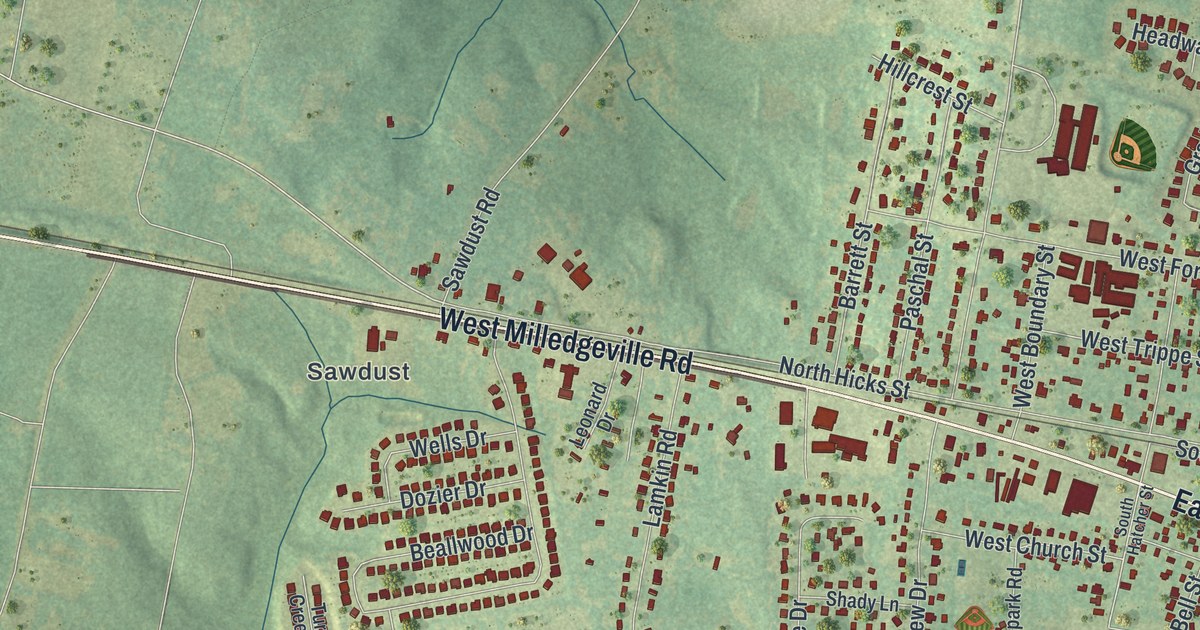
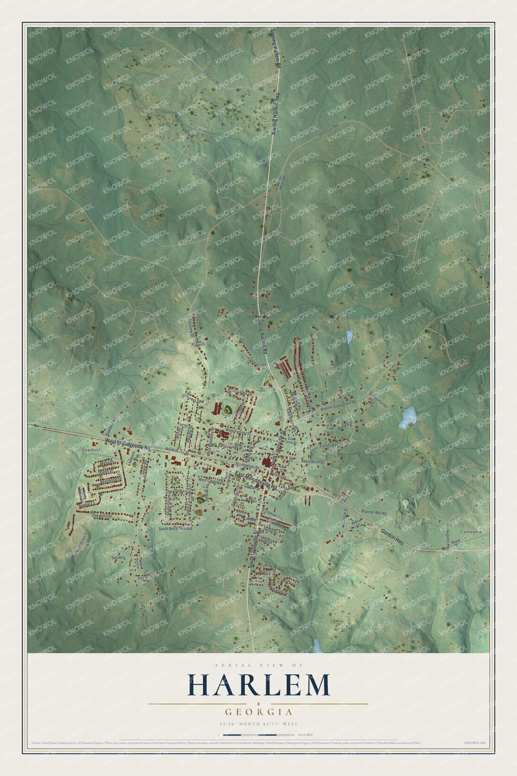
This beautifully detailed map of Harlem, Georgia was created in 2026 using aerial imagery combined with modern topographical, census, street and landmark data. It’s a one-of-a-kind view of Harlem that combines accurate data with a vintage aesthetic. The map shows every building in its true location, many of the roads carry their names, and the shaded topographic relief shows the shape of the land.
Explore an aerial view of Harlem, Georgia
On the map you’ll find Campania and Sawdust, along with Appling Harlem Road, Louisville Street, Milledgeville Road, Gordon Highway, Appling Harlem Highway, and more. If you look closely you can even find your house accurately drawn in its correct location. Zoom in on the preview to look for yours.
Did You Know?
Harlem is where comedian Oliver Hardy was born. The city honors him each October with the Harlem Oliver Hardy Festival. It is also a sister town to Ulverston, England, where his comedy partner Stan Laurel was born.
Take a closer look at the Harlem map
Names on this map
These names are printed on this map.
Places: Campania and Sawdust.
Streets and roads: Appling Harlem Road, South Louisville Street, North Louisville Street, Appling-Harlem Road, East Milledgeville Road, Gordon Highway, West Milledgeville Road, Appling Harlem Highway, East Boundary Street, Planner Mill Road, South Bell Street, Fairview Drive.
More street names, A to Z
Amesbury Drive, Ansley Drive, Ansley Lane, Ansley Place, Ansley Way, Ballard Drive, Ballpark Road, Barrett Street, Beallwood Drive, Beard Drive, Blanchard Avenue, Bobcat Lane, Bowdre Street, Campbells Way, Church Street, Clary Cut Road, Cougar Drive, Dozier Drive, Dusty Court, East Forre Street, East Trippe Street, Emily Court, Evelyn Street, Fite Drive, Fitzgerald Lane, Grady Drive, Harlem Grovetown Road, Headwaters Drive, Hillcrest Street, Keener Street, Kelly Greene Drive, Knox Road, Lamkin Road, Leonard Drive, McArthur Drive, Morgan Drive, New Street, North Bell Street, North Hicks Street, Oakwood Drive, Old Augusta Highway, Old Union Road, Oliver Hardy Court, Paschal Street, Peachtree Street, Pebble Lane, Pine Valley Court, Planner Mill Lane, Recreation Drive, Robert Moore Road, Sanders, Sawdust Road, Shady Grove Drive, Shady Lane, South Bell Extended, South Fairview Drive, South Hatcher Street, South Hicks Street, Stone Street, Sweet Grass Circle, Turtle Creek Lane, Verdery Pont Road, Verdery Street, Village Run, Wells Drive, West Boundary Street, West Church Street, West Forrest Street, West Trippe Street, Willie Timmy Street.
See it on a wall
The Harlem map as a framed print. Swipe for more.


This beautifully detailed map of Harlem makes an attractive addition to your office, library, or den, and it can even be used to teach children the geography and history of the area. It also makes a great gift for anyone who grew up in Harlem or moved away. When you’re done exploring, click here to get your copy of the Harlem map.