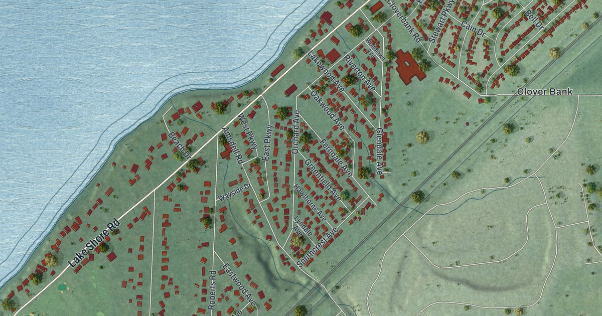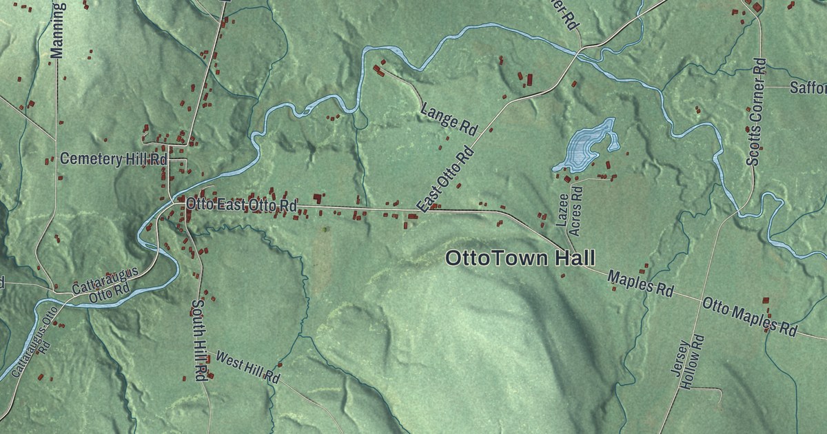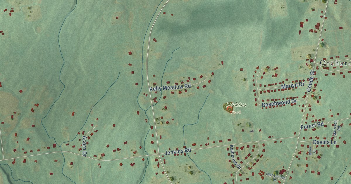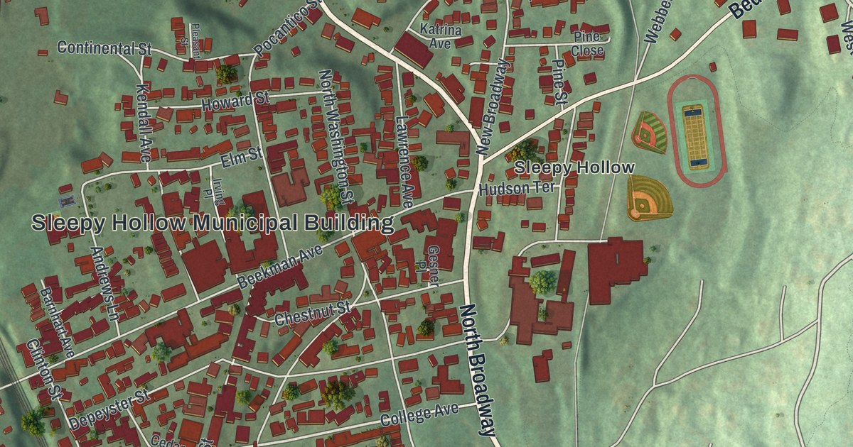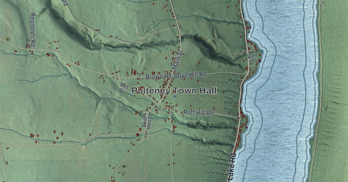
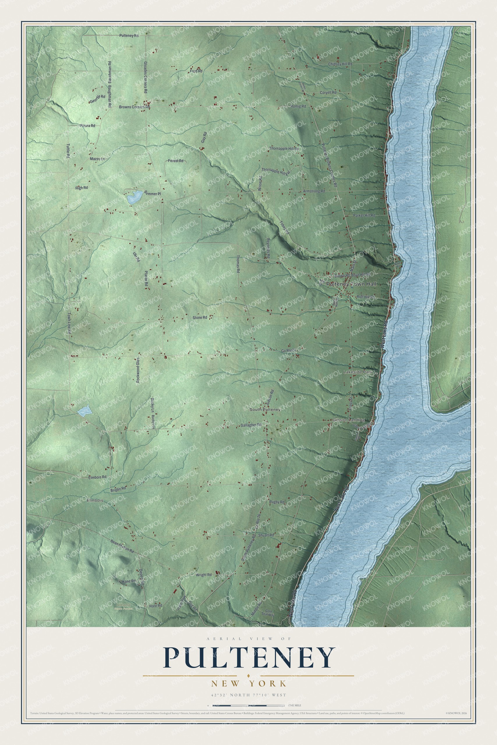
This beautifully detailed map of Pulteney, New York was created in 2026 using aerial imagery combined with modern topographical, census, street and landmark data. It’s a one-of-a-kind view of Pulteney that combines accurate data with a vintage aesthetic. The map shows every building in its true location, many of the roads carry their names, and the shaded topographic relief shows the shape of the land.
Explore an aerial view of Pulteney, New York
On the map you’ll find Pulteney Town Hall, Summer Place, Elmbois, Gibson Landing, Lakeside Park, South Pulteney, and Urbana State Forest, along with Lake Road, Brown Road, Town Line Road, and more. If you look closely you can even find your house accurately drawn in its correct location. Zoom in on the preview to look for yours.
Did You Know?
Pulteney takes its name from the Pulteney Tract. A group of English investors, including Sir William Pulteney, bought this land from Robert Morris. Settlers came around 1797, and for a time the place was called Harmonyville. The town was formed from Bath in 1808.
Take a closer look at the Pulteney map
Names on this map
These names are printed on this map.
Places: Pulteney Town Hall, Elmbois, Gibson Landing, Lakeside Park, Urbana State Forest and South Pulteney.
Streets and roads: West Lake Road, Brown Road, Summer Place, Town Line Road, Pulteney Browns Corners Road, Elmbois Road, Coryell Road, County Route 76, Pulteney Road, Browns Corners Road, Co Rte74, Gloades Corners Road.
More street names, A to Z
Armstrong Road, Bauchman Road, Baughman Road, Bean Station Road, Boyd Hill Road, Briglin Road, Bucky Lane, Buckys Lane, Chidsey Hill Road, Cross Street, Darbys Corners Road, Depew Road, Dug Road, Duke Road, Ford Road, Forest Road, Gallagher Road, Gay Road, Georgia Road, Gibson Hill Road, Gibson Road, Gold Seal Way, Hare Road, High Road, Irwin Row, Judson Road, Kane Road, Main Street, Mazzo Lane, Middle Road, Mill Street, Parker Hill Road, Pizura Road, Plante Road, Reynolds Road, Rockwood Glen, Roff Hill Road, Romig Road, Rugby Road, Shuart Road, South Main Street, South Pulteney Road, Stone Road, Thomas Road, Thornapple Hill Extension, Thornapple Hill Road, Tobey Road, Tuttle Road, Ukr Road, Wisse Road, Wright Road.
See it on a wall
The Pulteney map as a framed print. Swipe for more.


This beautifully detailed map of Pulteney makes an attractive addition to your office, library, or den, and it can even be used to teach children the geography and history of the area. It also makes a great gift for anyone with Pulteney roots. When you’re done exploring, click here to get your copy of the Pulteney map.