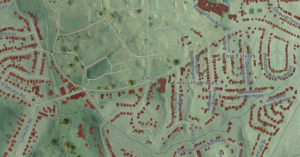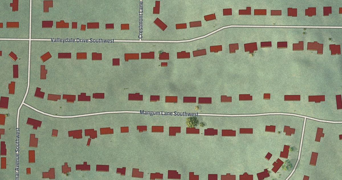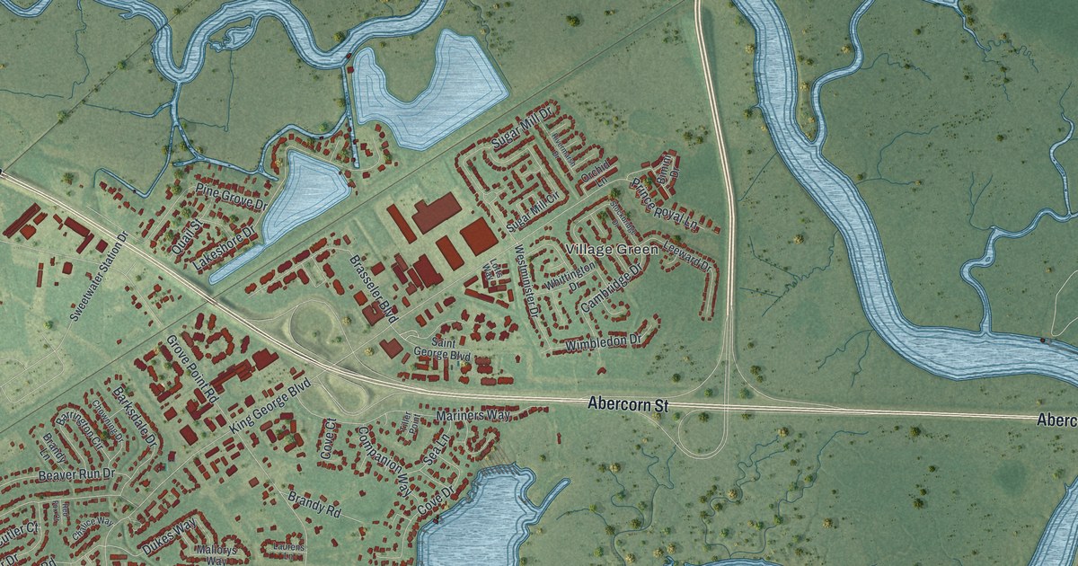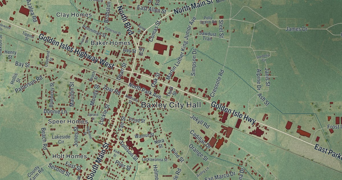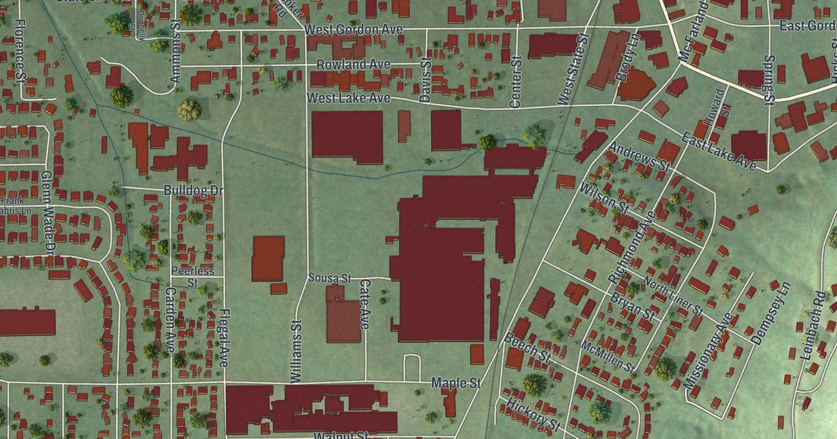
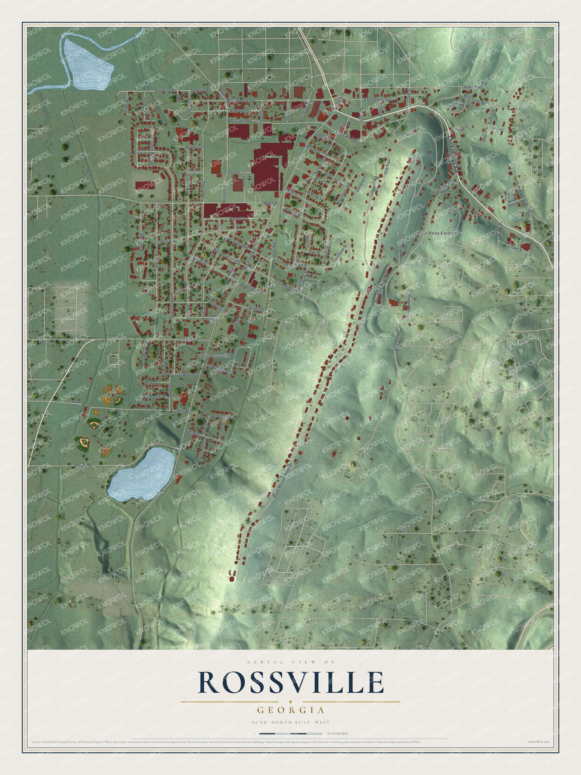
This beautifully detailed map of Rossville, Georgia was created in 2026 using aerial imagery combined with modern topographical, census, street and landmark data. It’s a one-of-a-kind view of Rossville that combines accurate data with a vintage aesthetic. The map shows every building in its true location, many of the roads carry their names, and the shaded topographic relief shows the shape of the land.
Explore an aerial view of Rossville, Georgia
On the map you’ll find South Rossville, along with Chickamauga Avenue, Hickory Street, Bronson Street, Cave Street, Tanaka Trail, and more. If you look closely you can even find your house accurately drawn in its correct location. Zoom in on the preview to look for yours.
Did You Know?
Rossville takes its name from Cherokee Chief John Ross, who made his home here. He stayed until he and his people were forced west to Oklahoma on the Trail of Tears. His log cabin, the John Ross House, became a National Historic Landmark in 1973.
Take a closer look at the Rossville map
Names on this map
These names are printed on this map.
Places: John Ross Estates and South Rossville.
Streets and roads: Chickamauga Avenue, Hickory Street, Bronson Street, Cave Street, Tanaka Trail, Henderson Avenue, Clark Street, Mc Farland, West State Street, South Mission Ridge Drive, McFarland Avenue, Hogan Road.
More street names, A to Z
Allgood Street, Ammons Street, Andrews Street, Battery Drive, Beech Street, Bethune Street, Brody Lane, Brown Avenue, Bryan Street, Bulldog Drive, Carden Avenue, Carroll Lane, Cate Avenue, Cedar Street, Center Street, Central Street, Cherry Street, Clift Trail, Crawford Street, Crown Street, Dale Street, Davis Street, Dempsey Lane, Donnelly Street, East Gordon Avenue, East Lake Avenue, East Oak Street, East Peachtree Street, East Wotring Street, Ellis Drive, Ellis Road, Elm Street, Fergis Street, First Street, Flegal Avenue, Florence Street, Fox Chase Street, Frank Fabris Lane, Georgia Terrace, Glenn Avenue, Glenn Wade Drive, Glover Knoll Drive, Hicks Street, Hogan Circle, Hooker Road, Howard Street, Indian Avenue, James Street, Julian Street, King Street, Lane Drive, Lee Avenue, Leinbach Road, Logan Avenue, Maple Street, McMillen Street, Missionary Avenue, North Liner Street, Oak Street West, Park City Road, Peerless Street, Richmond Avenue, Rose Clark Street, Rose Clark Terrace, Rowe Street, Rowland Avenue, Salem Road, Second Street, Shearer Drive, Short Street, Sousa Street, South Crest Road, South Liner Street, Spring Street, Spruce Street, State Line Road, Stateline Road, Stegall Street, Suggs Street, Summitt Street, Sunset Drive, Union Avenue, Walker Avenue, Walnut Street, Washington Street, Watercress Drive, Watkins Street, West Crest Road, West Gordon Avenue, West Lake Avenue, West Peachtree Street, Westview Drive, West Wotring Street, Williams Street, Wilson Street, Woodland Apartment.
See it on a wall
The Rossville map as a framed print. Swipe for more.


This beautifully detailed map of Rossville makes an attractive addition to your office, library, or den, and it can even be used to teach children the geography and history of the area. It also makes a great gift for someone who left Rossville and still calls it home. When you’re done exploring, click here to get your copy of the Rossville map.