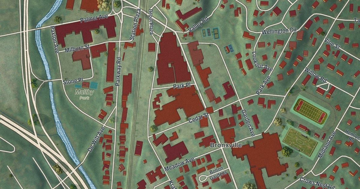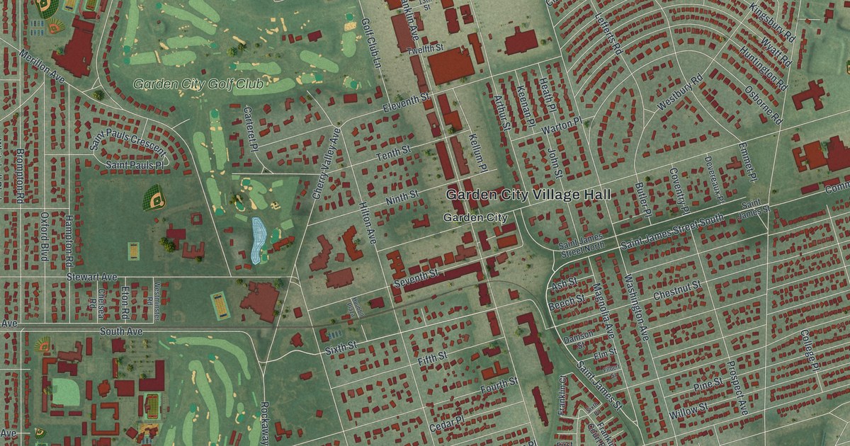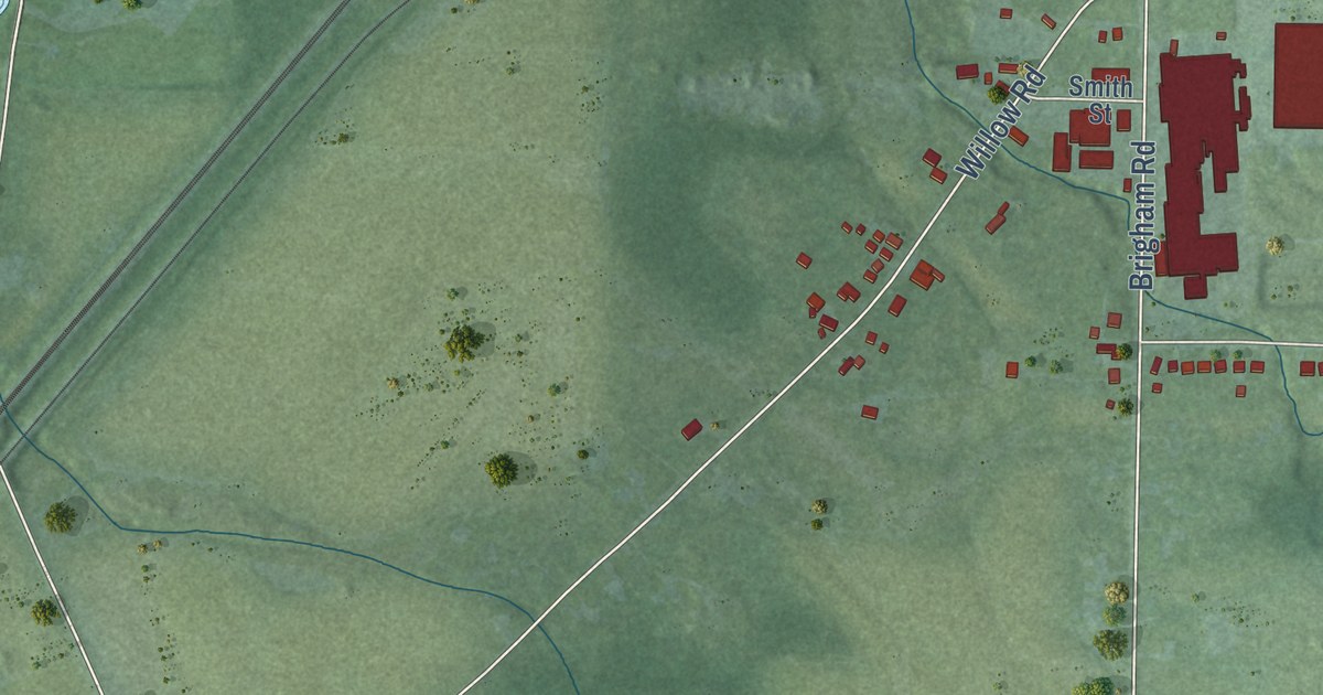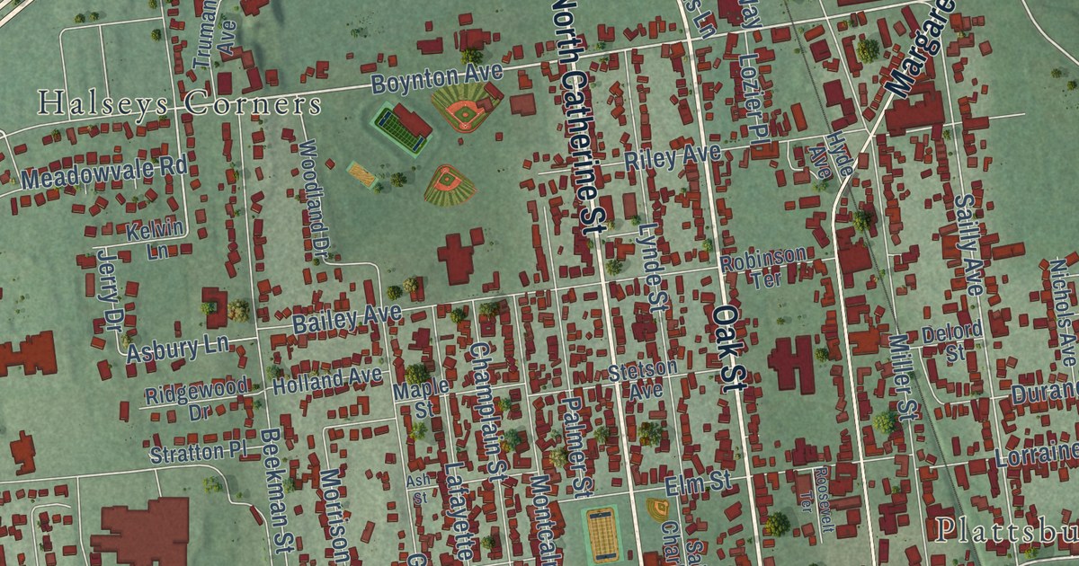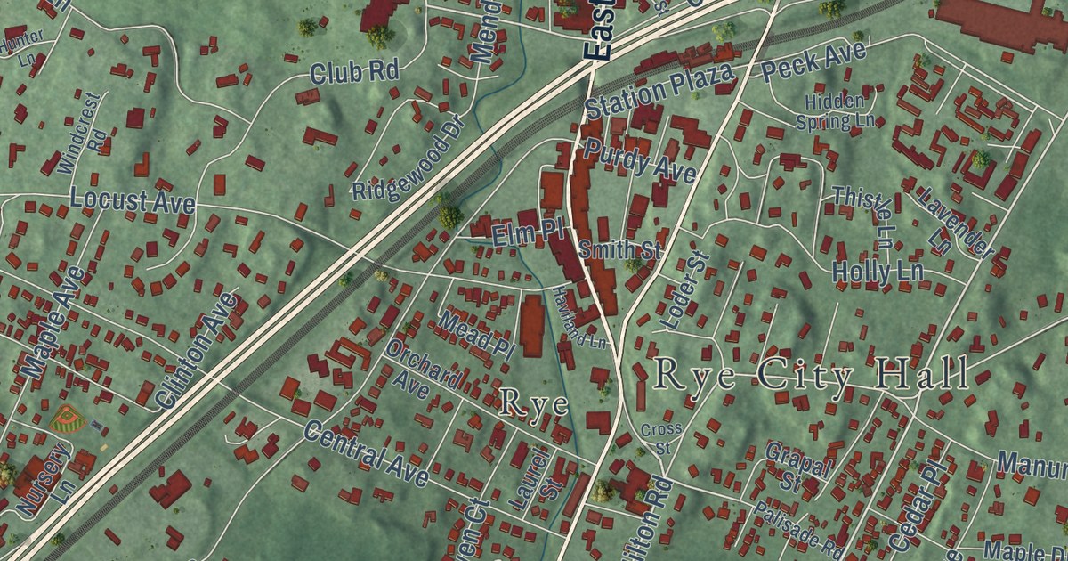
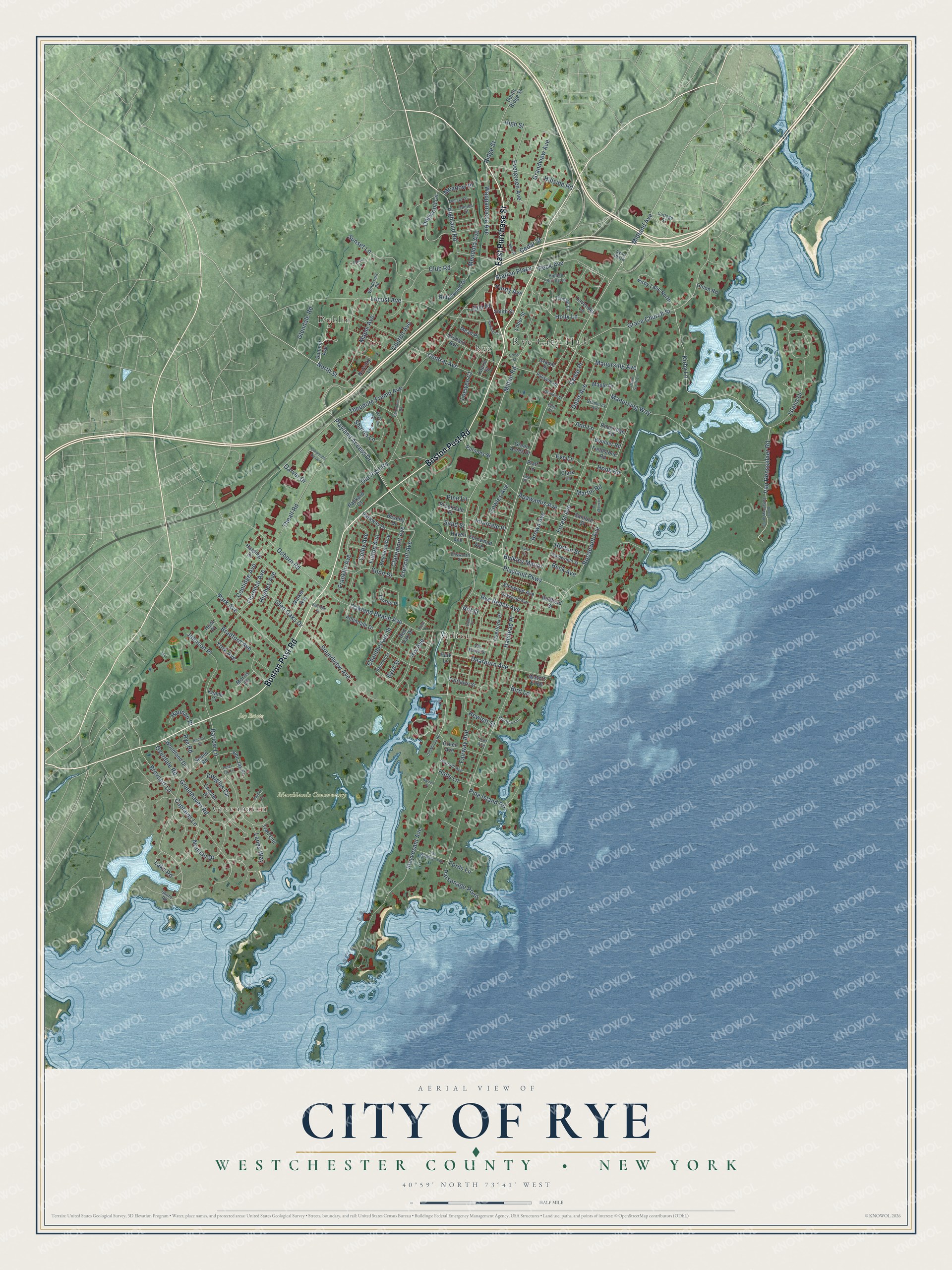
This beautifully detailed map of the City of Rye, Westchester County, New York was created in 2026 using aerial imagery combined with modern topographical, census, street and landmark data. It’s a one-of-a-kind view of the City of Rye that combines accurate data with a vintage aesthetic. The map shows every building in its true location, many of the roads carry their names, and the shaded topographic relief shows the shape of the land.
Explore an aerial view of the City of Rye, Westchester County, New York
On the map you’ll find Rye City Hall, Dublin, Greenhaven, Milton, and Greenwood Union Cemetery, along with Purchase Street, Boston Post Road, Playland Parkway, North Street, and more. If you look closely you can even find your house accurately drawn in its correct location. Zoom in on the preview to look for yours.
Did You Know?
Thomas Studwell, Peter Disbrow and John Coe founded Rye in 1660. It began as part of Fairfield County, Connecticut. Connecticut handed the town to New York in 1683. In 1697 Rye tried to break away and rejoin Connecticut. The revolt lasted until 1700, when the last boundary fight was settled.
Take a closer look at the City of Rye, Westchester County map
Names on this map
These names are printed on this map.
Places: Rye City Hall, Dublin, Jay Estate, Marshlands Conservancy, Milton, Greenhaven and Rye.
Streets and roads: East Purchase Street, Boston Post Road, Playland Parkway, North Street, Playland Access Drive, Midland Avenue, Kirby Lane, Van Rensselaer Road, Milton Road, Brevoort Lane, Highland Road, Wappanocca Avenue.
More street names, A to Z
Allendale Drive, Anchor Drive, Ann Lane, Apawamis Avenue, Avon Plaza, Barlow Lane, Barron Place, Beck Avenue, Bennett Street, Beverly Drive, Bird Lane, Boulder Road, Bradford Avenue, Brookdale Place, Brown Avenue, Bulkley Manor, Byrd Street, Captains Lane, Cedar Place, Cedar Street, Central Avenue, Chamberlain Street, Chester Drive, Claremont Avenue, Clark Lane, Clinton Avenue, Club Road, Colby Avenue, Coolidge Avenue, Corporate Center, Cottage Street, Cowles Avenue, Crescent Avenue, Cross Street, Davis Avenue, Dearborn Avenue, Dogwood Lane, Douglas Circle, Drake Smith Lane, Eldridge Place, Ellis Court, Ellsworth Street, Elm Place, Elmwood Avenue, Eve Lane, Evergreen Avenue, Fairlawn Street, Fairway Avenue, Fernwood Avenue, Fieldstone Road, Florence Avenue, Fords Lane, Forest Avenue, Franklin Avenue, Fulton Avenue, Garver Drive, Glendale Road, Glen Oaks Drive, Goldwin Street, Grace Church Street, Gramercy Avenue, Grandview Avenue, Grapal Street, Green Acres Drive, Green Avenue, Greenhaven Road, Guion Road, Halls Lane, Halstead Place, Hammond Road, Hannan Place, Harbor Lane, Harding Drive, Haven Avenue, Haviland Lane, Heritage Lane, Hewlett Street, Hidden Spring Lane, High Street, Hillside Road, Hill Street, Hix Avenue, Holly Lane, Hook Road, Horton Street, Hughes Avenue, Hunter Lane, Hunt Place, Intervale Place, Island Drive, John Jay Place, Johnson Place, Keane Court, Kirby Lane North, Lake Road, Lanes Way, Laurel Street, Lavender Lane, Lea Place, Locust Avenue, Loder Street, Loewen Court, Manursing Avenue, Manursing Way, Maple Avenue, Maple Drive, Martin Road, Meadow Place, Mead Place, Mead Pond Lane, Mendota Avenue, Mohawk Street, Morris Court, New Street, Norman Drive, Nursery Lane, Oakland Beach Avenue, Oakwood Avenue, Old Milton Road, Old Post Road, Oneida Street, Orchard Avenue, Osborn Road, Overdale Road, Overhill Avenue, Overlook Place, Packard Court, Palisade Road, Park Avenue, Park Lane, Parkway Drive, Parsonage Point, Parsons Street, Peck Avenue, Peter Jay Lane, Phillips Lane, Pine Island Road, Pine Lane, Platt Lane, Purdy Avenue, Redfield Street, Red Oak Drive, Reymont Avenue, Ridge Street, Ridgewood Drive, Rockridge Road, Roosevelt Avenue, Rose Street, Rye Beach Avenue, Rye Road, Sand Street, Sanford Street, Sharon Lane, Shore Road, Smith Street, Sonn Drive, Sound Road, Soundview Avenue, South Manursing Island, South Ridge Street, Station Plaza, Stuyvesant Avenue, Summit Avenue, Sunset Lane, Theall Road, Theodore Fremd Avenue, Thistle Lane, Thorne Place, Trail End, Turf Avenue, Tyler Circle, Vale Place, Van Buren Street, Van Wagenen Avenue, Wainwright Street, Walker Avenue, Waters Edge, Windcrest Road, Woodland Drive, York Avenue.
See it on a wall
The Rye, Westchester County map as a framed print. Swipe for more.


This beautifully detailed map of the City of Rye, Westchester County makes an attractive addition to your office, library, or den, and it can even be used to teach children the geography and history of the area. It also makes a great gift for someone who left the City of Rye and still calls it home. When you’re done exploring, click here to get your copy of the City of Rye, Westchester County map.