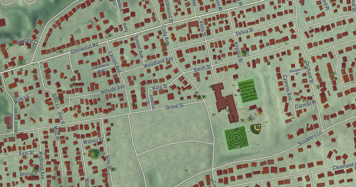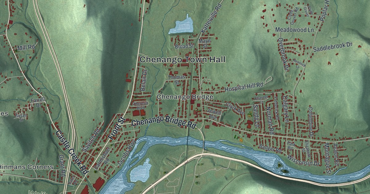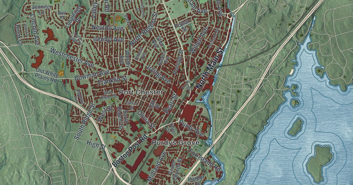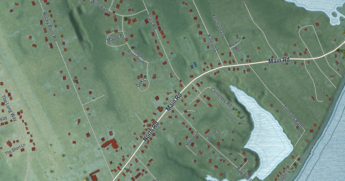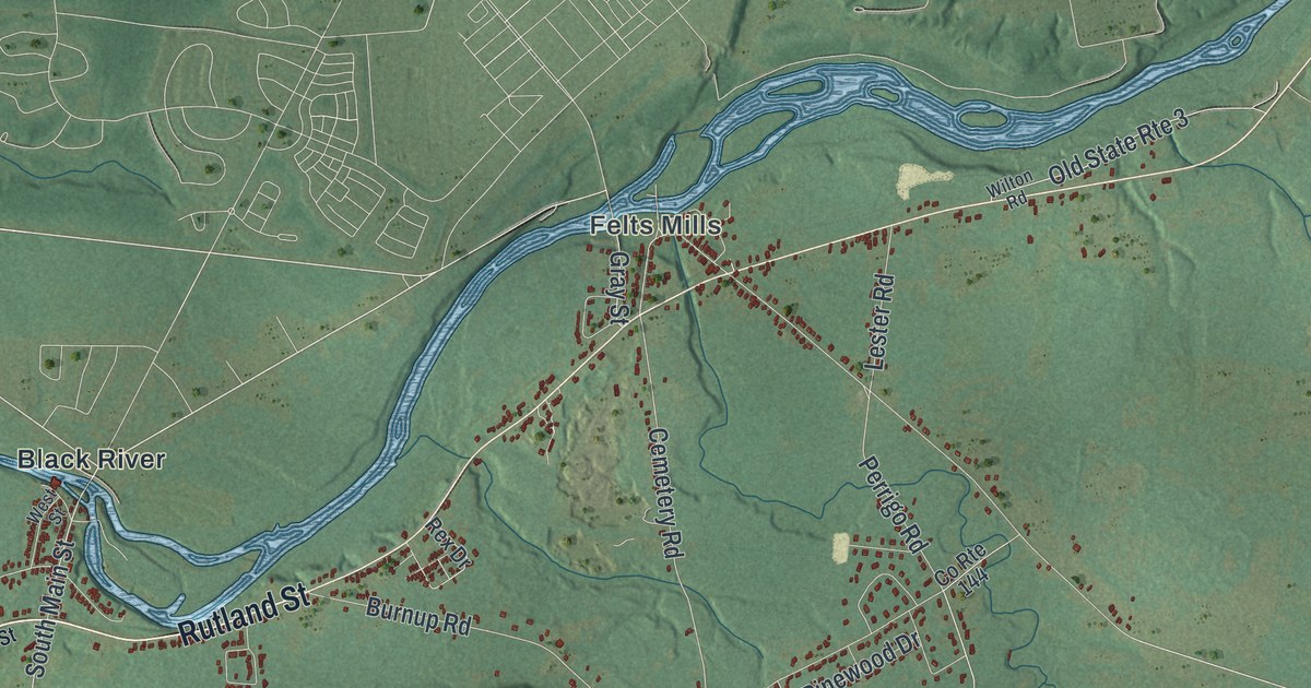
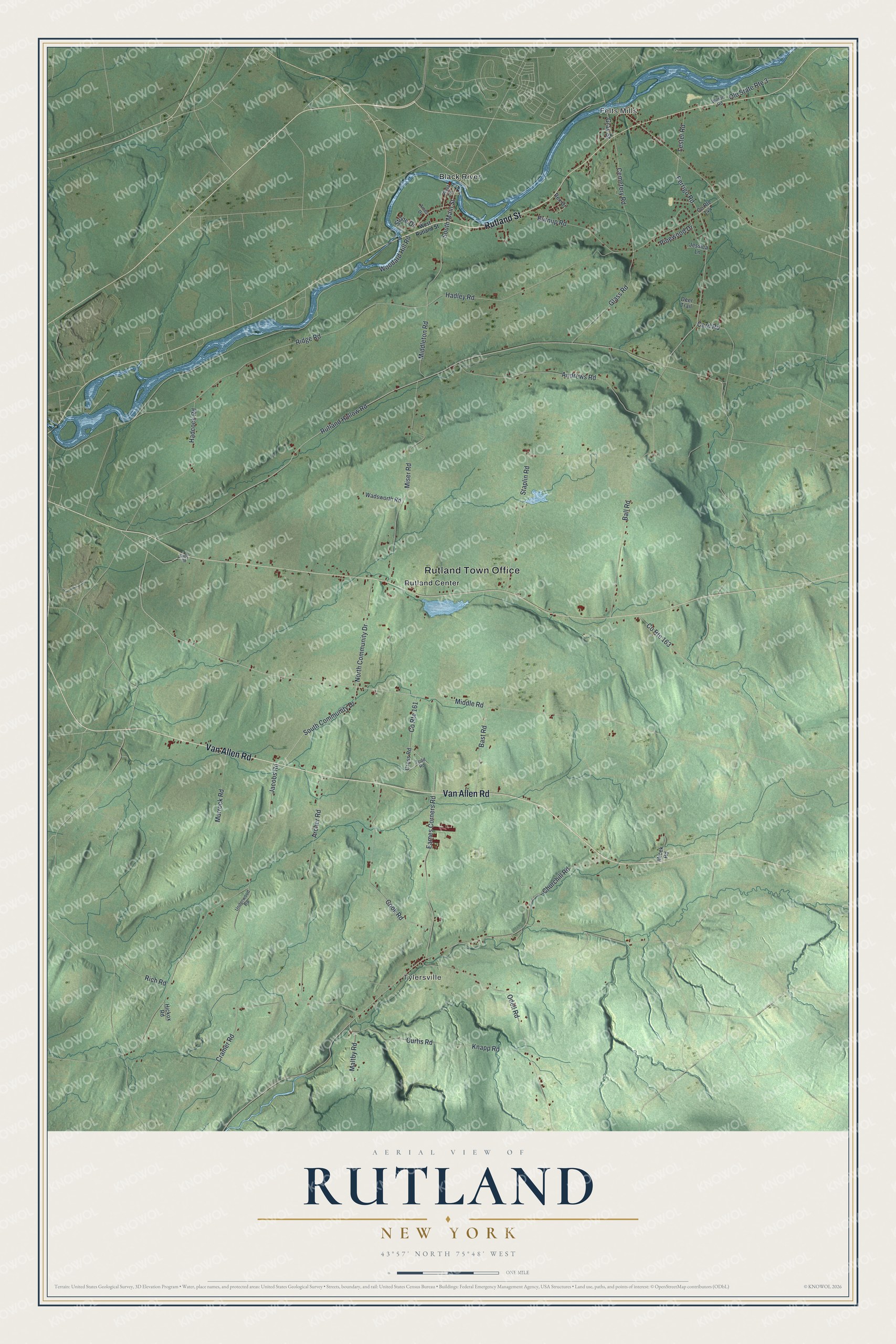
This beautifully detailed map of Rutland, New York was created in 2026 using aerial imagery combined with modern topographical, census, street and landmark data. It’s a one-of-a-kind view of Rutland that combines accurate data with a vintage aesthetic. The map shows every building in its true location, many of the roads carry their names, and the shaded topographic relief shows the shape of the land.
Explore an aerial view of Rutland, New York
On the map you’ll find Rutland Town Office, Felts Mills, Tylersville, Black River, and Rutland Center, along with Van Allen Road, Rutland Street, Main Street, Hadley Road, and more. If you look closely you can even find your house accurately drawn in its correct location. Zoom in on the preview to look for yours.
Did You Know?
Rutland got its name at a town meeting held for that purpose. Settlers who had come from Rutland, Vermont, suggested it. The first grist mill in Jefferson County was built here in 1800 by David Coffeen, at what is now Felts Mills. That’s from the 1854 History of Jefferson County in the State of New York.
Take a closer look at the Rutland map
Names on this map
These names are printed on this map.
Places: Rutland Town Office, Felts Mills, Tylersville, Black River and Rutland Center.
Streets and roads: Van Allen Road, Rutland Street, South Main Street, Hadley Road, Middle Road, Ridge Road, Cemetery Road, Perrigo Road, Knapp Road, Rutland Hollow Road, Staplin Road, Jacobs Road.
More street names, A to Z
Ames Drive, Andrews Road, Archer Road, Ball Road, Bast Road, Burnup Road, Card Road, Churchill Road, Cook Road, County Route 144, County Route 161, County Route 163, Cramer Road, Cross Road, Curtis Road, Deer Trail, Eames Corners Road, Glass Road, Gray Street, Hadcock Road, Hickox Road, Jessica Lane, Lester Road, Maltby Road, Micek Road, Middleton Road, Miser Road, Murrock Road, North Community Drive, Odell Road, Old State Route 3, Pinewood Drive, Rex Drive, Rich Road, Slate Road, South Community Drive, Stone Drive, Todd Road, Underwood Road, Wadsworth Road, West Rutland Street, West Street, Wilton Road, Woodard Hill Road.
See it on a wall
The Rutland map as a framed print. Swipe for more.


This beautifully detailed map of Rutland makes an attractive addition to your office, library, or den, and it can even be used to teach children the geography and history of the area. It also makes a great gift for anyone with Rutland roots. When you’re done exploring, click here to get your copy of the Rutland map.